Guess the spot: Utah Edition

Also, it could be the unnamed slot in my profile photo, but I don't think so 'cause I just looked at all my photos from my two trips there and nothing matches up. It's the canyon just north of the Hite bridge (about one mile along the road) emptying into the Dirty D.
 
Okay, it's gotta be Duckett? Even with the map you posted, it didn't get through my thick skull that there are two junctions with 276 and 95!
 
Last edited:
Sorry for the confusion folks, i didn't realize there are 2 junctions of Hwy 95 with Hwy 276.

I only knew the Southern Jct, we used it to take the Ferry and drive back to Torrey via the Notom Road and also to explore stuff in the Grand Gulch area!
We have driven scenic Hwy 95 between Blanding and Hanksville many times, have crossed the Henrys from the Notom road via Bull Pass and Little Egypt to Hwy 95, but always missed that part of Hwy 276 inbetween!

Thanks to @Udink i now realize we have to explore that part of Hwy 276, we have never been, at a next occasion after this Covid disaster!

The name of the canyon is in the longlist so @Udink is up!

The links below give an overview of things that can be enjoyed when leaving Hwy 95 at the Duckett Crossing and shows similar pics of Short Canyon!

Canyoneering Short Canyon - Cedar Mesa - Road Trip Ryan
Short Canyon - Cedar Mesa - Canyoneering (climb-utah.com)
 
The name of the canyon is in the longlist so @Udink is up!
Short Canyon would have been my next guess. You mentioned Big Arrowhead Arch and both of these canyons in an earlier post in this thread. I finally cemented what I thought was the correct canyon after a lot of research and seeing this Duckett Slot photo from Dan Ransom which looks very similar: https://danransom.com/wp-content/uploads/2009/04/Duckett-Short-11.jpg

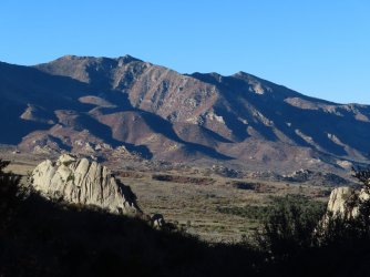
Next up, the high point of this mountain range takes its name from the composition of the rock (if you can discern it from this photo!). Bonus points for naming the exact location, but the name of the range or high point will do.

IMG_4266.JPG
 
That's it!
I have been in the area a few times but I don't recognize the exact location, and I'm traveling and my weak laptop doesn't really do Google Earth. It'll be a couple days before I can dig up a new image. If anyone wants to take over and post something in the meantime, please feel free!
 
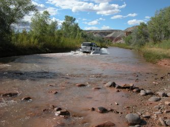
I would have said "Fording the Fremont" (i like that better because it was a new english word for me at the time) but "crossing" is fine too!

:) You are up @Jackson !
 
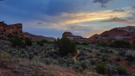
Let's get the ball rolling here. First hint is that this is a pretty riparian area and I got mobbed by mosquitos as I was hiking out of here at dusk. I believe it was early May a few years ago.
 
Let's get the ball rolling here. First hint is that this is a pretty riparian area and I got mobbed by mosquitos as I was hiking out of here at dusk. I believe it was early May a few years ago.
Deer creek GSENM
 
Is it the trail along the way to Escalante Natural Bridge? (That's what my brain told me when I first saw the image).
 
Wow, I'm sometimes amazed at how the brain can recall things - especially my brain. :)

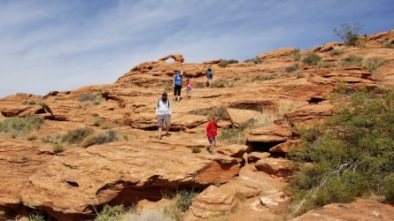
This one should be easy:

51216383058_963aaeb77f_k.jpg
 
Back
Top