Navigation
Install the app
How to install the app on iOS
Follow along with the video below to see how to install our site as a web app on your home screen.
Note: This feature may not be available in some browsers.
More options
You are using an out of date browser. It may not display this or other websites correctly.
You should upgrade or use an alternative browser.
You should upgrade or use an alternative browser.
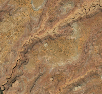
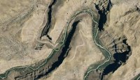
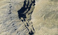
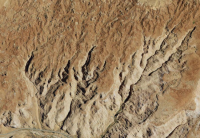
Guess the spot: Maps Edition
- Thread starter Backcountry Post
- Start date
Seldom Seen Anderson
Member
- Joined
- Jan 19, 2012
- Messages
- 739
.
Udink
Still right here.
- Joined
- Jan 17, 2012
- Messages
- 1,692
Seldom Seen Anderson
Member
- Joined
- Jan 19, 2012
- Messages
- 739
Coyote Gulch
Seldom Seen Anderson
Member
- Joined
- Jan 19, 2012
- Messages
- 739
Seldom Seen Anderson
Member
- Joined
- Jan 19, 2012
- Messages
- 739
I will try two clues a day (well one today since its late)
Its in Utah!
Its in Utah!
Seldom Seen Anderson
Member
- Joined
- Jan 19, 2012
- Messages
- 739
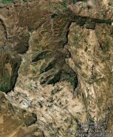
Logging took place here Between 1915-1928. Mostly for ponderosa I am guessing.
intuitive cat
Jurassic Dust in my Bones
- Joined
- Mar 9, 2012
- Messages
- 402
Canaan Mountain. just southeast of Rockville
the perpendicular corners in that canyon in the upper right are crazy. looks like that was all cut out.
the perpendicular corners in that canyon in the upper right are crazy. looks like that was all cut out.
intuitive cat
Jurassic Dust in my Bones
- Joined
- Mar 9, 2012
- Messages
- 402
intuitive cat
Jurassic Dust in my Bones
- Joined
- Mar 9, 2012
- Messages
- 402
the canyons on the bottom left and upper right should be good clues. not looking for an overly specific answer, but the name of the general area.


