John Morrow
Member
- Joined
- May 22, 2015
- Messages
- 1,063
There's much out on the internets about this one. This is the classic Buckskin Gulch/Paria Canyon thruhike. So I'll make it a photo tour mostly. Petroglyphs extraordinaire (though I don't show a lot). Feel like I'm living in the past reminiscing on my annual UT trip.
Wire Pass TH--->Wire Pass--->Buckskin Gulch--->Paria River Canyon--->Lee's Ferry. Shuttle required. 70 miles driving to place the second vehicle at Lee's Ferry.
Part 1 here:
https://backcountrypost.com/threads...9-2019-day-1-buckskin-gulch.8604/#post-111403
Day 2 Paria Canyon from confluence to below Judd Hollow Pump.
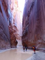
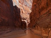
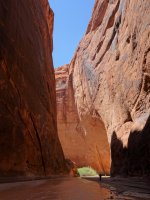
Scout of the Adams Exit Route, southside, to the Sand Hills:
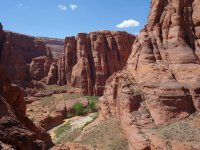
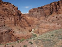
Day 3 Past Wrather Canyon and arch, beyond last reliable spring, to about 8 miles from Lee's Ferry.
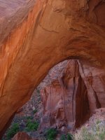
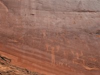
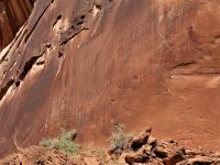
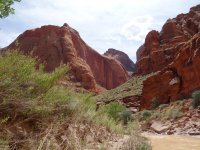
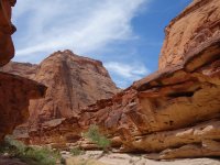
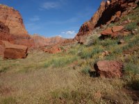
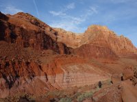
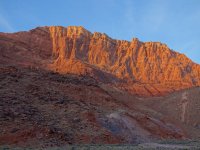
Day 4 Last camp, 8 miles to Lee's Ferry racing an incoming storm so we could get our vehicles out of the sand and clay House Rock Road Wire Pass TH.
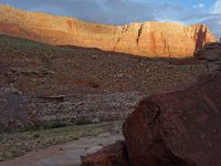
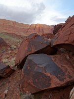
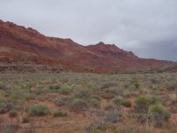
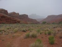
More pics of days 2-4 here:
https://www.flickr.com/photos/23557848@N03/albums/72157707167528621
Wire Pass TH--->Wire Pass--->Buckskin Gulch--->Paria River Canyon--->Lee's Ferry. Shuttle required. 70 miles driving to place the second vehicle at Lee's Ferry.
Part 1 here:
https://backcountrypost.com/threads...9-2019-day-1-buckskin-gulch.8604/#post-111403
Day 2 Paria Canyon from confluence to below Judd Hollow Pump.


Scout of the Adams Exit Route, southside, to the Sand Hills:


Day 3 Past Wrather Canyon and arch, beyond last reliable spring, to about 8 miles from Lee's Ferry.


Day 4 Last camp, 8 miles to Lee's Ferry racing an incoming storm so we could get our vehicles out of the sand and clay House Rock Road Wire Pass TH.


More pics of days 2-4 here:
https://www.flickr.com/photos/23557848@N03/albums/72157707167528621
Last edited:
