SKLund
Member
- Joined
- Aug 19, 2016
- Messages
- 459
This is a day hike into the area South of the Chama River in New Mexico. There are millions of acres of de-facto wilderness here from infrequently travelled slot canyons, including technical terrain, to iconic red rock landscapes similar to Utah and surroundings but without the travel time.
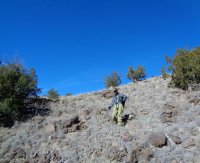
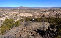
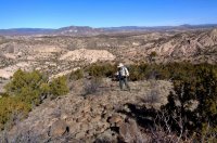
I very seldom see anyone in this area (except for folks I bring with me) or in well known and established trails. There are few of those. The following is a trip I did last month after a long time planning. Note: I was not trying for any fine art photography here. Just telling the tale with pictures. Wrangling hikers and taking photos at the same time is hard enough!
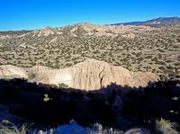
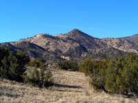
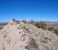
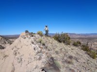
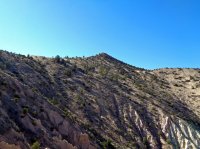
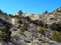
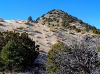
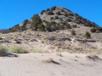
The first time I saw Peak 7463 was two years ago while climbing nearby Sierra Negra. That dune, shining in the late afternoon really grabbed attention and did not let go. I’m not the first. Georgia O’keeffe painted here. Ansel Adams almost missed a shot nearby. You know the one, “Moonrise, Hernandez New Mexico”.
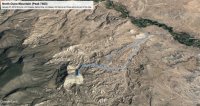
The difficulty of this mountain is the route finding. The area is extremely complex geographically, making approaches difficult. It took two tries and many hours staring at a map to determine a route that would work. From then on it was just finding the time.
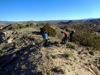
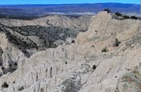
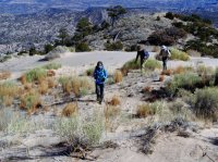
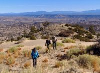
On other trips in this area, a lot of time and effort was spent slogging through arroyo sand and wasting time in the rincons. I knew that we would take too long on approach so I determined to find a way that keeps us out of the sand. By getting up on the mesas. we could make better time and have better views as well. The problem with that idea is that the mesas are as complicated as the rest of the terrain around here so more map staring was required.
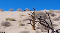
After a couple more practice hikes using this method, we gave it a go and were successful. The hike and climb were everything I thought it would be with just enough doubt to make it really interesting. About that Dune Mountain part, it truly is a mountain, not a peak.. It stands geographically apart from its neighbors as a mountain should. Add in the dune to seal the deal. That’s I’d tell the USGS if they’d listen.
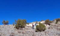
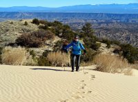
We were myself, Jon, Nancy and Jim. Ted and Pesta joined us for part of the trip. Stats were 10.1 miles, 2027 feet ascent, and hike time of 7 hours.


Last edited:
