- Joined
- Dec 23, 2013
- Messages
- 3,715
On Saturday morning, I met up with @regehr to hike Neff's Ridge, which is the ridge on the north side of Neff's Canyon. After completing the ridge, at the head of the canyon, we then worked our way down to the trail that leads to Mill B Pass, and then we turned off before climbing to the pass, onto the Neff's Canyon Trail and headed down the canyon and back to our vehicles at the trailhead. Most of the ridge would require bushwhacking and scrambling, except for one short section where we hooked up with an apparent social trail between two consecutive knobs along the ridge, before the trail descended down into the canyon (we think?).
We began our hike at the Neff's Canyon Trailhead and immediately started up the ridge. The terrain was steep, and I struggled a bit with my wind at first, but once I reached the top of the ridge, I began to feel better. Once on top of the ridge, the views opened up on all sides, with Mount Olympus and Wildcat Ridge to our south, and Grandeur Peak and Millcreek Ridge to our north.
We thought going in that there would be a considerable amount of bushwhacking along the ridge, and that turned out to be correct. A lot of scrub oak and Mountain Mahogany to contend with made for slow progress as we made our way east along the ridge. The trees and brush made it difficult to tell which side of the ridge to scramble up too. At one point along one of the more difficult sections, I believe we made 0.3 miles in one hour.
The weather started out sunny, but as we made our way up the ridge, the wind really started to pick up. As we made our way along the ridge the skies became overcast and the wind continued to blow, with some gusts being quite hard. The wind also seemed to kick up some dust from the west desert and made our views and pictures a bit dusty or hazy.
After completing the ridge, all we had to do was locate the trail, and the descent down the canyon was quite pleasant. The hike took us about nine hours to complete, the vast majority of that time of course along the ridge itself. Here's some shots of our adventure.
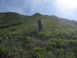
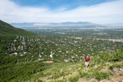
Regehr, heading up the ridge form the trailhead.
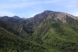
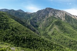
A good look into North's Fork with the ever present Mount Olympus on the right
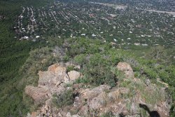
Looking down the ridge towards Olympus Cove.
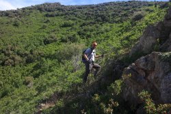
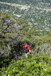
Regehr is working me at this point! Who am I kidding, he worked my the entire hike.
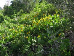
Mules ear on our climb to the top of the ridge
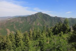
On top of the ridge, the view opens up for us, with Grandeur Peak to our north, across Millcreek Canyon
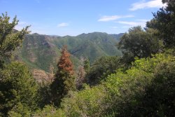
Church Fork Peak, located to the east of Grandeur along the Millcreek Ridge
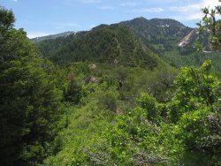
Making our way along Neff's Ridge
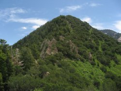
Looks like some scrambling opportunities ahead.
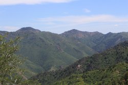
Mount Aire and unnamed peak 8490 along the Millcreek Ridge to our north
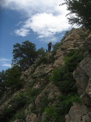
Regehr, on some rocky terrain along the ridge
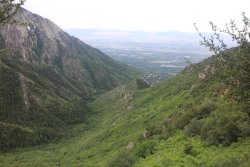
A look down from the ridge into the lower reaches of Neff's Canyon
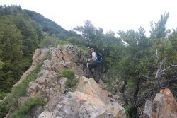
Slow going at this point.
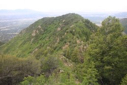
Looking back west along Neff's Ridge
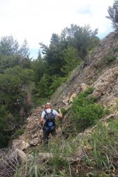
Decision time - up or down?
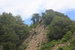
Regehr on the ridge
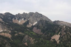
Triangle Peak to our south across Neff's Canyon, along Wildcat Ridge
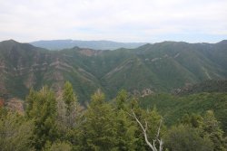
Millcreek ridge to the north, in the far distance is Grandview Peak, located at the head of City Creek Canyon.
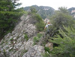
Brush and more brush.
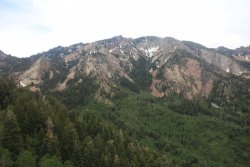
Wildcat Ridge to our south
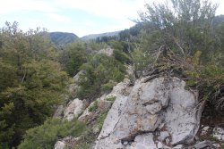
Aye yai yai! Enough already.
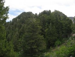
Two more knobs ahead.
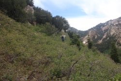
Time for the thick scrub oak. This section wore me out.
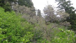
The way ahead. I had a branch knock the lens out of my sun glasses, and it took me about five minutes to find it in this Shite.
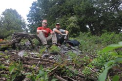
Taking time for a snack break before making our final push to the high point of the ridge
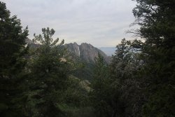
A look back at Mount Olympus
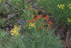
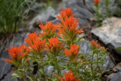
Some Paintbrush, Larkspur and Desert Parsley. We didn't run into any Paintbrush until almost the very end of the ridge.
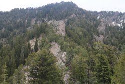
Looking east along the ridge towards the high point.
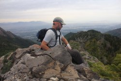
Regehr on the high point of the ridge, around 8,800 feet. A good view down Neff's Ridge, and our hiking route along the ridge - to
Regehr's left, and the right side of the image.
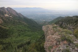
A view down Neff's Canyon from the high point.
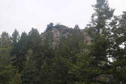
Making our way down to the trail, and looking back up at the high point of the ridge.
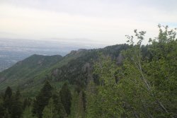
The western portion of Neff's Ridge
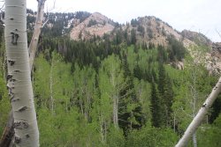
Beautiful Aspen Grove with Wildcat Ridge above, as we make our way down canyon.
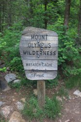
Leaving the Mount Olympus Wilderness, on the Neff's Canyon Trail
Back at the trailhead.
Well, hopefully @regehr will chime in with his thoughts of the route. A great hike, on a fine day, with great company. Can't ask for anything more than that. Thanks Regher!
We began our hike at the Neff's Canyon Trailhead and immediately started up the ridge. The terrain was steep, and I struggled a bit with my wind at first, but once I reached the top of the ridge, I began to feel better. Once on top of the ridge, the views opened up on all sides, with Mount Olympus and Wildcat Ridge to our south, and Grandeur Peak and Millcreek Ridge to our north.
We thought going in that there would be a considerable amount of bushwhacking along the ridge, and that turned out to be correct. A lot of scrub oak and Mountain Mahogany to contend with made for slow progress as we made our way east along the ridge. The trees and brush made it difficult to tell which side of the ridge to scramble up too. At one point along one of the more difficult sections, I believe we made 0.3 miles in one hour.
The weather started out sunny, but as we made our way up the ridge, the wind really started to pick up. As we made our way along the ridge the skies became overcast and the wind continued to blow, with some gusts being quite hard. The wind also seemed to kick up some dust from the west desert and made our views and pictures a bit dusty or hazy.
After completing the ridge, all we had to do was locate the trail, and the descent down the canyon was quite pleasant. The hike took us about nine hours to complete, the vast majority of that time of course along the ridge itself. Here's some shots of our adventure.

Regehr, heading up the ridge form the trailhead.

A good look into North's Fork with the ever present Mount Olympus on the right

Looking down the ridge towards Olympus Cove.

Regehr is working me at this point!

Mules ear on our climb to the top of the ridge

On top of the ridge, the view opens up for us, with Grandeur Peak to our north, across Millcreek Canyon

Church Fork Peak, located to the east of Grandeur along the Millcreek Ridge

Making our way along Neff's Ridge

Looks like some scrambling opportunities ahead.

Mount Aire and unnamed peak 8490 along the Millcreek Ridge to our north

Regehr, on some rocky terrain along the ridge

A look down from the ridge into the lower reaches of Neff's Canyon

Slow going at this point.

Looking back west along Neff's Ridge

Decision time - up or down?

Regehr on the ridge

Triangle Peak to our south across Neff's Canyon, along Wildcat Ridge

Millcreek ridge to the north, in the far distance is Grandview Peak, located at the head of City Creek Canyon.

Brush and more brush.

Wildcat Ridge to our south

Aye yai yai! Enough already.

Two more knobs ahead.

Time for the thick scrub oak. This section wore me out.

The way ahead. I had a branch knock the lens out of my sun glasses, and it took me about five minutes to find it in this Shite.

Taking time for a snack break before making our final push to the high point of the ridge

A look back at Mount Olympus

Some Paintbrush, Larkspur and Desert Parsley. We didn't run into any Paintbrush until almost the very end of the ridge.

Looking east along the ridge towards the high point.

Regehr on the high point of the ridge, around 8,800 feet. A good view down Neff's Ridge, and our hiking route along the ridge - to
Regehr's left, and the right side of the image.

A view down Neff's Canyon from the high point.

Making our way down to the trail, and looking back up at the high point of the ridge.

The western portion of Neff's Ridge

Beautiful Aspen Grove with Wildcat Ridge above, as we make our way down canyon.

Leaving the Mount Olympus Wilderness, on the Neff's Canyon Trail

Back at the trailhead.
Well, hopefully @regehr will chime in with his thoughts of the route. A great hike, on a fine day, with great company. Can't ask for anything more than that. Thanks Regher!

