Ben
Member
- Joined
- Sep 12, 2014
- Messages
- 1,873
Sunday my Dad wanted to do some geocaching in an interesting looking area, so Brittinei and i tagged along on my bike. May be half an hour to get to the area from the freeway. After that it is preferable to have a high clearance vehicle. My parents did it with a couple bumps to their santa fe in stead.
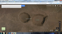
My folks, when we first got near the crater. There are two here very near each other. I will call this one that we first arrived at crater 1, and the other crater 2. Crater 1 is slightly larger, and it's edge is not so even as crater 2's. It is my understanding that they were formed from collapse following explosive eruptions. You can see the Owyhee Mountains in the distance below the sun.

The crater from the rim. The craters are quite large, and difficult to fit in a single picture.
The horse i rode in on.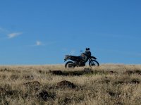
This is the second crater. It's a little easier to appreciate this one as a giant hole in the ground because, even though it is smaller, the land is flatter the whole way around it. In the distance you can see an old cinder cone.
The first and larger crater again. I ended up riding the whole way around both of them on my bike. It was good riding. Poor driving for my folks. The bike handled the rocks very well.
Looking across the crater at the trail that leads to the floor.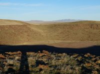
My Dad found what he was looking for.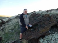
The transportation, gives some scale.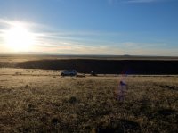
Heading up the rise along the far side of the crater.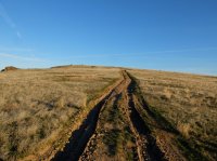
Looking across to where we first arrived. On the floor of the crater you can see the numbers "391" written giant in tire tracks. I have no idea why. It must have been an atv that made it down three. I could not make it on my bike.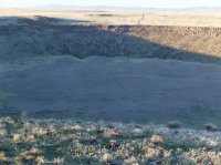
Looking at the break in the wall where the trail goes down.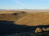
Looking closer. You can see what the topo labels the Danskin Mountains, and I 84 in front of them.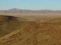
Crater 1, and part of crater 2 behind it on the left. From the top of the rise.
Owyhees in the distance.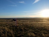
Rocks that my Dad thought were cars from the other side.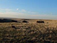
You can't tell here but this is actually looking across part of the crater, near the crease where the trail descends. The trails don't actually go all the way up the slope, they rock out. I started up it on my bike, but had to turn around, not easy.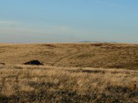
I 84 and the Danskin Mountains. In the mid ground there is a line that is tumble weeds piled along a fence.
If you don't look at the free way and all that, you can feel pretty removed. We didn't see any one else out there.
Old cowboy camp.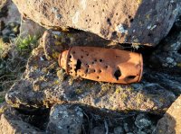
The trail down, my Mom along it. She climbed down the rocks when we first arrived, and walked across the bottom, while i rode around, and my Dad and my girl friend found caches.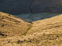
Sun set over the crater.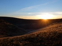
The views from the bottom of the crater.


At the end of the day i did some thing stupid and broke the clutch lever of my bike. So there was no way riding it home that night, so we had to come back out today to fix it after buying a part. I finished riding around the craters as well.
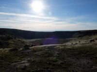
This is an old cinder cone you can see in the distance from high points along the craters.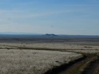
Crater 2.
Survey marker.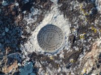
My Dad took some pictures of me. I think the bike doesn't look as good with some one blocking the view of it. This is at the top rise along crater 1.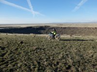
And looking toward crater 2.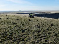
Owyhees.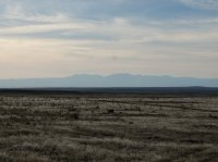
Going around crater 2.
On the right edge here you can see the rise along the rim of crater 1 that is slightly higher than every thing else.
The road out.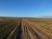
View of the cinder cone from nearer the high way.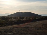
Very good riding on the KLR out there, some sections with lots of first and second gear, others i could speed up all the way to fifth. Some places far enough from the craters i could ride cross country. Only takes a few hours to see it all though. I considered the micro trip reports for this also.
Featured image for home page:
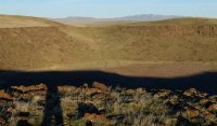
My folks, when we first got near the crater. There are two here very near each other. I will call this one that we first arrived at crater 1, and the other crater 2. Crater 1 is slightly larger, and it's edge is not so even as crater 2's. It is my understanding that they were formed from collapse following explosive eruptions. You can see the Owyhee Mountains in the distance below the sun.

The crater from the rim. The craters are quite large, and difficult to fit in a single picture.

The horse i rode in on.

This is the second crater. It's a little easier to appreciate this one as a giant hole in the ground because, even though it is smaller, the land is flatter the whole way around it. In the distance you can see an old cinder cone.

The first and larger crater again. I ended up riding the whole way around both of them on my bike. It was good riding. Poor driving for my folks. The bike handled the rocks very well.

Looking across the crater at the trail that leads to the floor.

My Dad found what he was looking for.

The transportation, gives some scale.

Heading up the rise along the far side of the crater.

Looking across to where we first arrived. On the floor of the crater you can see the numbers "391" written giant in tire tracks. I have no idea why. It must have been an atv that made it down three. I could not make it on my bike.

Looking at the break in the wall where the trail goes down.

Looking closer. You can see what the topo labels the Danskin Mountains, and I 84 in front of them.

Crater 1, and part of crater 2 behind it on the left. From the top of the rise.

Owyhees in the distance.

Rocks that my Dad thought were cars from the other side.

You can't tell here but this is actually looking across part of the crater, near the crease where the trail descends. The trails don't actually go all the way up the slope, they rock out. I started up it on my bike, but had to turn around, not easy.

I 84 and the Danskin Mountains. In the mid ground there is a line that is tumble weeds piled along a fence.

If you don't look at the free way and all that, you can feel pretty removed. We didn't see any one else out there.

Old cowboy camp.

The trail down, my Mom along it. She climbed down the rocks when we first arrived, and walked across the bottom, while i rode around, and my Dad and my girl friend found caches.

Sun set over the crater.

The views from the bottom of the crater.


At the end of the day i did some thing stupid and broke the clutch lever of my bike. So there was no way riding it home that night, so we had to come back out today to fix it after buying a part. I finished riding around the craters as well.

This is an old cinder cone you can see in the distance from high points along the craters.

Crater 2.

Survey marker.

My Dad took some pictures of me. I think the bike doesn't look as good with some one blocking the view of it. This is at the top rise along crater 1.

And looking toward crater 2.

Owyhees.

Going around crater 2.

On the right edge here you can see the rise along the rim of crater 1 that is slightly higher than every thing else.

The road out.

View of the cinder cone from nearer the high way.

Very good riding on the KLR out there, some sections with lots of first and second gear, others i could speed up all the way to fifth. Some places far enough from the craters i could ride cross country. Only takes a few hours to see it all though. I considered the micro trip reports for this also.
Featured image for home page:


