fossana
Member
- Joined
- Jan 11, 2018
- Messages
- 913
Intro
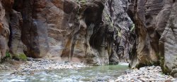
I returned from the Sierra to miserably hot southern UT temps, so I wanted to find something fun to escape the heat. I wasn't excited to deal with the classic Zion technical canyons and crowds. Luckily on Canyoneering USA I found some obscure technical canyons that drained into the Zion Narrows from between Chamberlain Ranch and Orderville Canyon. I had originally wanted to do Checkerboard, but after reading the detailed description on Bluu Gnome decided that it was probably imprudent to do solo given the potentially awkward/challenging downclimbs and an easier-if-you're-taller slide. So instead I chose the shorter Eastern Sun Canyon, but tacked on a longer hike to the bottom of the Narrows instead of exiting at Chamberlain Ranch. I scored a last minute Narrows permit and reserved an early morning shuttle from the Zion visitors center.
Logistics
Regulations/Safety
Narrows top down permit required. The Narrows is closed if the discharge rate is >150 CFS or if there's a NWS flash flood advisory. If you exit at Temple of Sinawava during shuttle season, you'll need to take the shuttle back to the visitors center. It currently runs until 9:15pm during the summer.
Start/End
I parked at the Zion NP south entrance visitor center and took one of the commercial shuttles, asking to be dropped off at the junction of North Fork Rd and Dakota Ridge Rd. The shuttle driver had no idea where the side road was, so be prepared with a GPS/topo map, or watch the mileage. It's also possible to do Eastern Sun with a vehicle (or bike) shuttle between Dakota Ridge Rd and Chamberlain Ranch, and instead walk upstream once you hit the N Fork of the Virgin River. This is shorter by ~6 miles and likely eliminates the need for a dry bag.
Skills
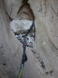
Since Eastern Sun is infrequently visited, you may need to build your own natural anchors from rocks and/or sand. Be able to navigate since some of the approach is off-trail.
Gear
- 170' rope plus a second (or pull cord) of the same length
- locking carabiners
- extra webbing, rap rings or quick links, knife (in case anchors are in poor condition or missing)
- dry bag (Narrows had pools up to neck deep)
- topo and/or GPS track/waypoints at least for the canyon approach (Bluu Gnome sells gpx files for $2.25 or you can use their waypoints to create your own)
- wag bag for Zion Narrows (park policy)
- recommend a trekking pole (or locate a stick) for the river walk since the rocks are slimy
Eastern Sun, Canyoneering USA
Eastern Sun, Bluu Gnome
Zion Narrows top down, Joe's Guide
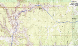
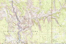
Approximate Route
Photos
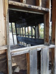
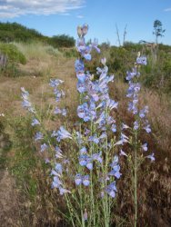
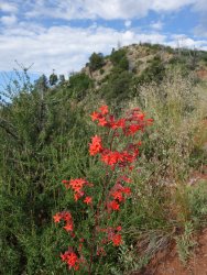
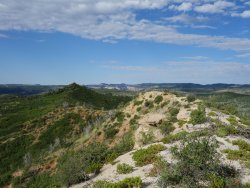
Dakota Ridge Road and Dakota Ridge
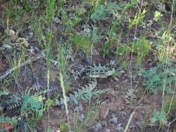
There was a defined approach trail on Dakota Ridge up until around Dakota Hill, after which I managed to not step on my little serpent friend.
 .
. 
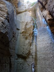
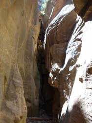
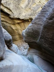
Eastern Sun
Friendly reminder to check all anchors before you rap. One of the chockstones (not pictured) pulled out when I tested it.
N Fork of the Virgin River (aka Zion Narrows)
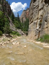
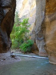
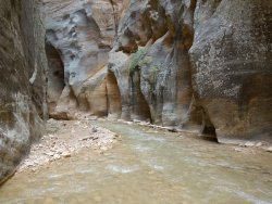
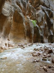
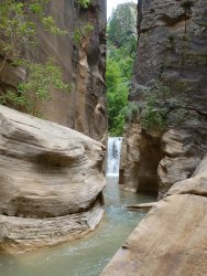
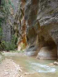
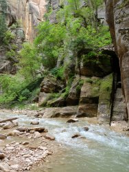
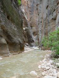
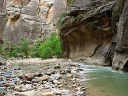
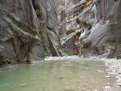
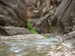
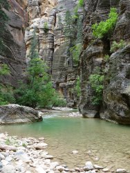
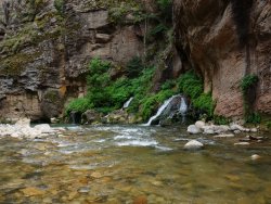
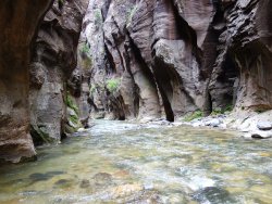
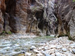
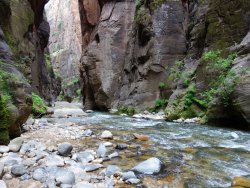
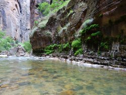
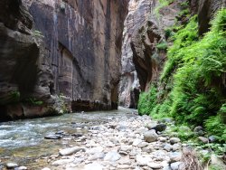
I lucked out b/c the Narrows were almost empty up until the paved trail just before Temple of Sinawava.
