Yellowstone 1
Blah!
- Joined
- Jan 23, 2012
- Messages
- 601
This last weekend a few friends, rockiemtn42 and I decided to go backpacking in the Uinta's. Our plan was to hike into Naturalist Basin. We left about 1:30 on Friday and got to the Highline Trailhead around 3:30. On our way up the Mirror Lake Highway it was very overcast with a few sprinkles. When we got to the trailhead we had just missed a storm that rolled through dumping heavy rain and hail. It must have been one hell of a downpour as there was little streams running down the trail and small piles of hail 2" deep scattered about. Before we went on our way we registered at the trailhead and noticed that there were a lot of people headed to or already in Naturalist Basin so we decided to head towards Packard Lake.
One of the meadows on the way in.
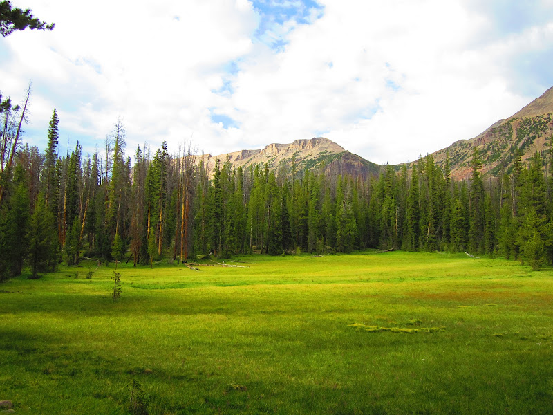
The first part of the Highline trail for those that don’t know is all downhill until the wilderness boundary. Then it’s up and down until you reach the Packard, Wyman and Wilder Lake Junction.
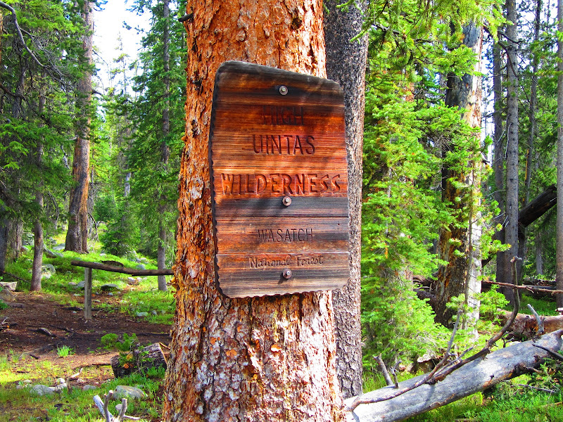
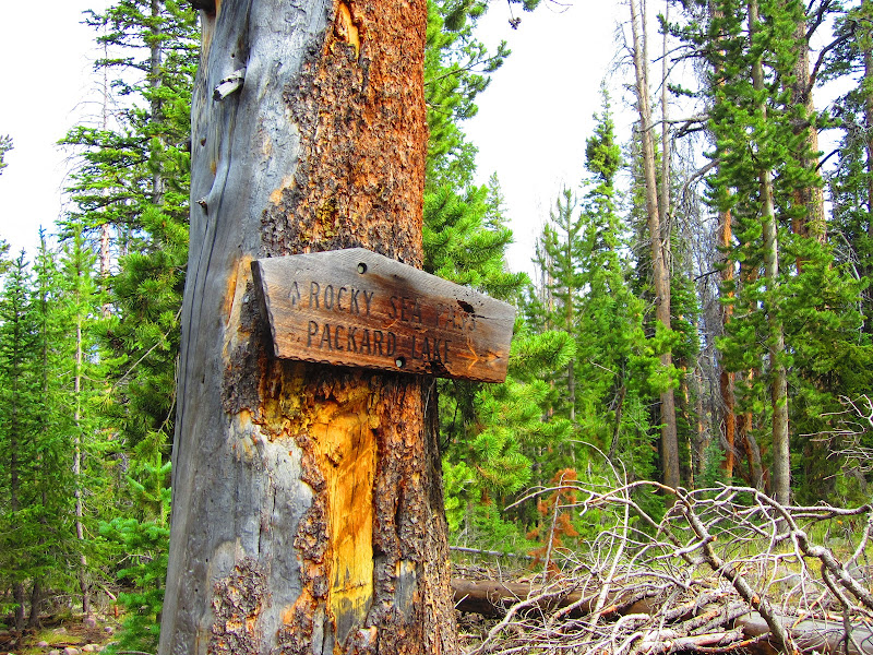
The trail from this point goes down and can be a foot catcher if you’re not careful as I found out. The first lake on this spur trail is Wilder Lake. When we got to Wilder we saw that there was not a soul around so we looked for a campsite, found an awesome one and decided to stay there
The Gang: Steve, Kevin (rockiemtn42), Jayson and the puppies Grace & Haley.
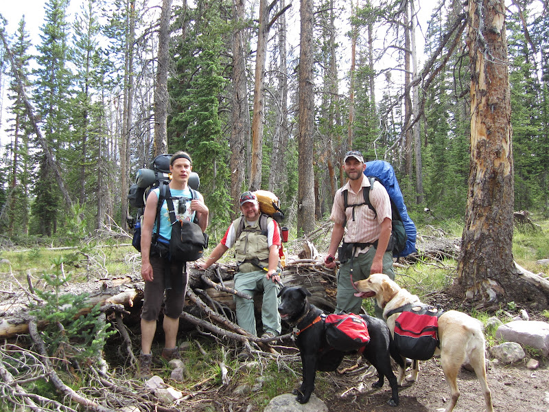
When we got to the lake the fish were rising all over the place so we pulled out the poles. The fishing was fast and furious we could not keep them off our lines.
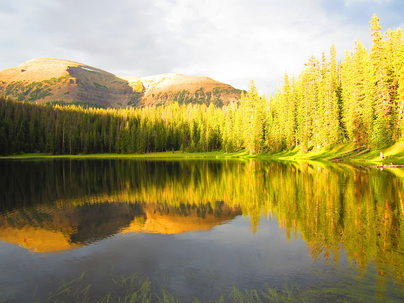
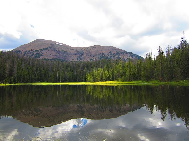
Mt. Agassiz with Wilder Lake in the foreground.
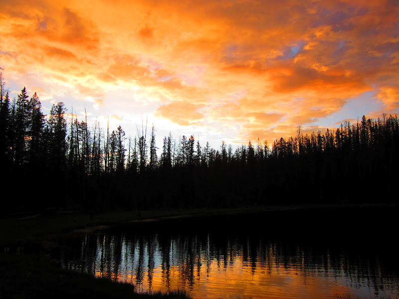
A beautiful sunset that first night.
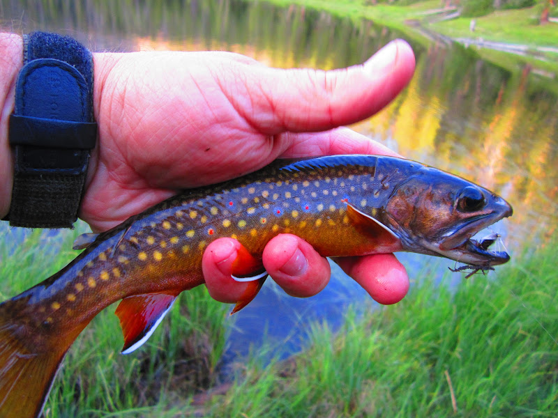
A selfie the next morning with one of the plethora of small brookies we caught.
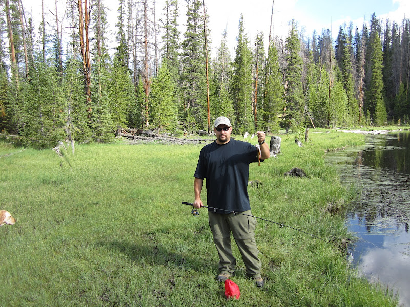
A different shot of Agassiz with morning sun rays before the clouds took over
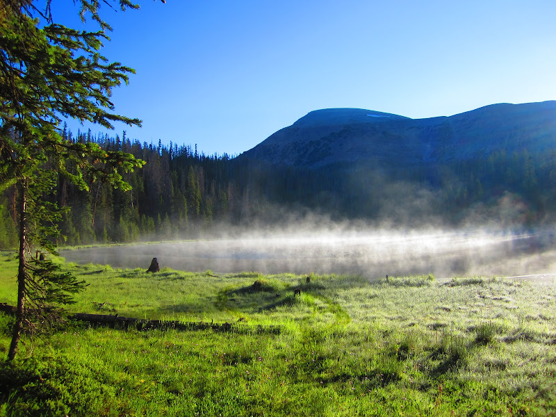
Waking up to frost and fog on Sunday morning.
Overall this was only a 5 mile round trip hike, but it was fun,the fishing was great and we had the place to ourselves. The campsite was excellent, but the trash left by others was not! We packed some trash out with us. The skeeters were not that bad maybe a 4 out of 10.
Great little lake if you catch it with nobody there and only want to go on a short backpack.
The weather for the most part was great with some showers and thunder, but not a full on monsoon.
Featured image for home page:
One of the meadows on the way in.
The first part of the Highline trail for those that don’t know is all downhill until the wilderness boundary. Then it’s up and down until you reach the Packard, Wyman and Wilder Lake Junction.
The trail from this point goes down and can be a foot catcher if you’re not careful as I found out. The first lake on this spur trail is Wilder Lake. When we got to Wilder we saw that there was not a soul around so we looked for a campsite, found an awesome one and decided to stay there
The Gang: Steve, Kevin (rockiemtn42), Jayson and the puppies Grace & Haley.
When we got to the lake the fish were rising all over the place so we pulled out the poles. The fishing was fast and furious we could not keep them off our lines.
Mt. Agassiz with Wilder Lake in the foreground.
A beautiful sunset that first night.
A selfie the next morning with one of the plethora of small brookies we caught.
A different shot of Agassiz with morning sun rays before the clouds took over
Waking up to frost and fog on Sunday morning.
Overall this was only a 5 mile round trip hike, but it was fun,the fishing was great and we had the place to ourselves. The campsite was excellent, but the trash left by others was not! We packed some trash out with us. The skeeters were not that bad maybe a 4 out of 10.
Great little lake if you catch it with nobody there and only want to go on a short backpack.
The weather for the most part was great with some showers and thunder, but not a full on monsoon.
Featured image for home page:

