DAA
Member
- Joined
- Jun 14, 2012
- Messages
- 715
A simple idea... Drive from Wendover, straddling the Nevada/Utah border on I-80, to St. George in the SW corner of Utah, near the Arizona border. Drive from Wendover to St. George… on dirt.
When a friend mentioned the idea asking if I could plan a route, I knew from previous travel that the possibilities for route variations would be endless. I also knew, that a small amount of pavement would have to be endured to get fuel unless we wanted to carry a bunch of gas cans. Further, I knew that truly avoiding literally as much pavement as possible would add significant time and distance to the trip to avoid only a few miles of pavement. Also, I knew the trip could be made pretty fast and easy, but also very boring, by using the well maintained county dirt roads where possible.
I replied I knew a boring route that could easily be completed in a day and a half, but could concoct a much more interesting one that would require anywhere from three to seven days, depending on just how interesting we wanted to make it and just how committed to avoiding pavement. We decided on three days to complete the journey.
With all this in mind, I quickly laid out a route with accepting a small amount of pavement, but also avoiding the boring “good” dirt roads. Sticking to the obscure, the rough, the rarely travelled, the far more interesting routes as much as possible, given the time constraint of three days to complete.
I had already travelled about 75% of the route, most sections numerous times, but had never travelled it all in one contiguous journey – and there was that 25% I had not yet travelled to really set the hook in me to do this trip.
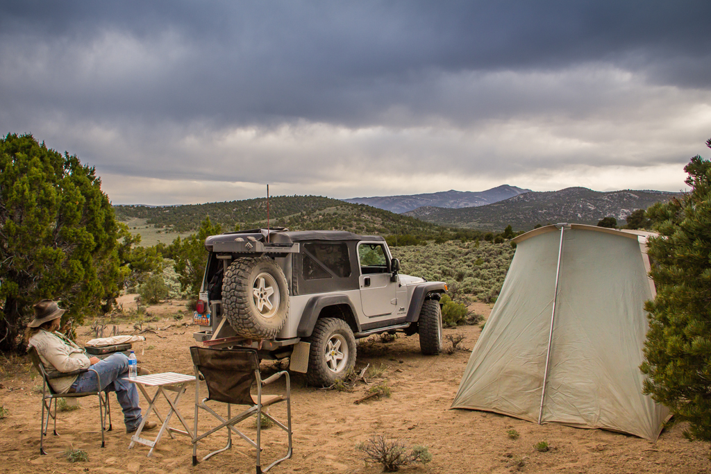
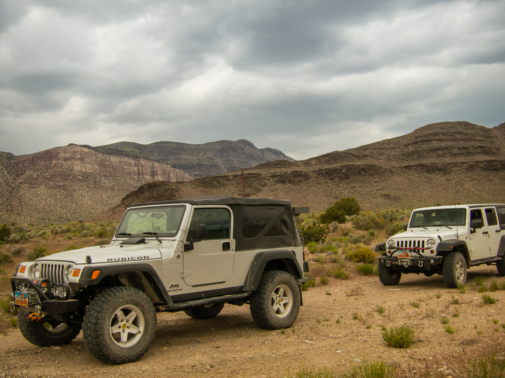
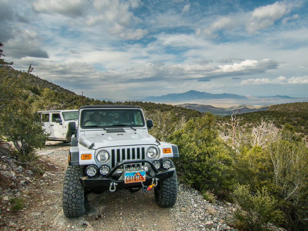
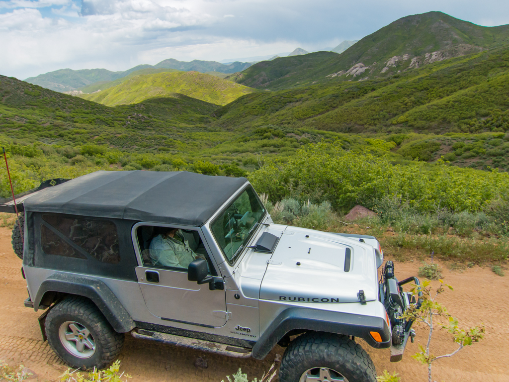
So… On the morning of Thur. May 16, my friend Tim and I in my Jeep, Eric flying solo in his Jeep, aired down our tires and left pavement behind on the outskirts of Wendover.
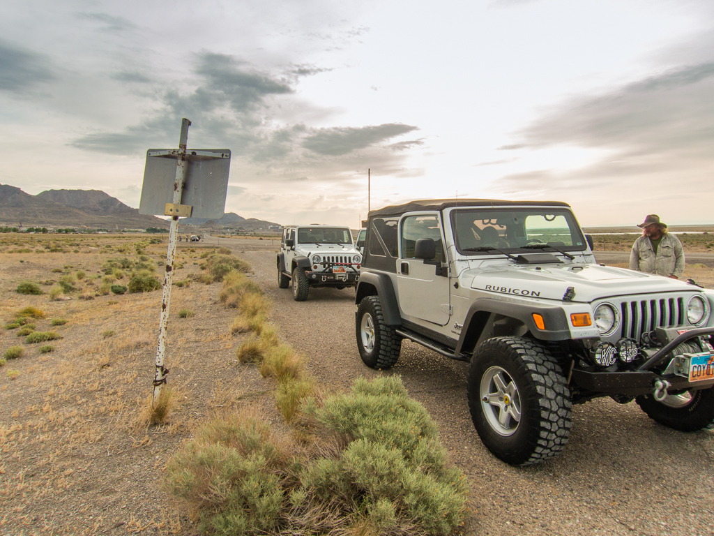
With weather that was cool, overcast and windy, but not too cold, we headed west for a few miles, then south along the east flank of the Goshute Mountains. Then between the back of Wildcat Peak and the north end of Ferguson Mountain, trending down to cross highway 93, jotted north and then west to visit Blue Lake.
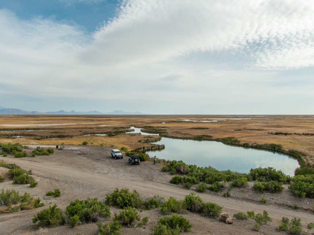
The deer flies and no-see-ums were fierce around the water so we didn’t dally before heading south to cross the Lead Mine Hills. We made another stop along this section to visit an archaeology site I’m familiar with – known as Bonneville Shores Estates.
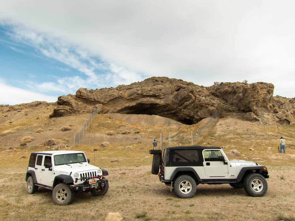
A rich archaeological site, excavated in the ‘70s, it holds a treasure trove of artifacts and clues into the lives of the earliest inhabitants of the area. It’s one of the oldest documented habitation sites in the Great Basin, dating back even before the much more famous Danger cave, to more than 10,000 years ago.
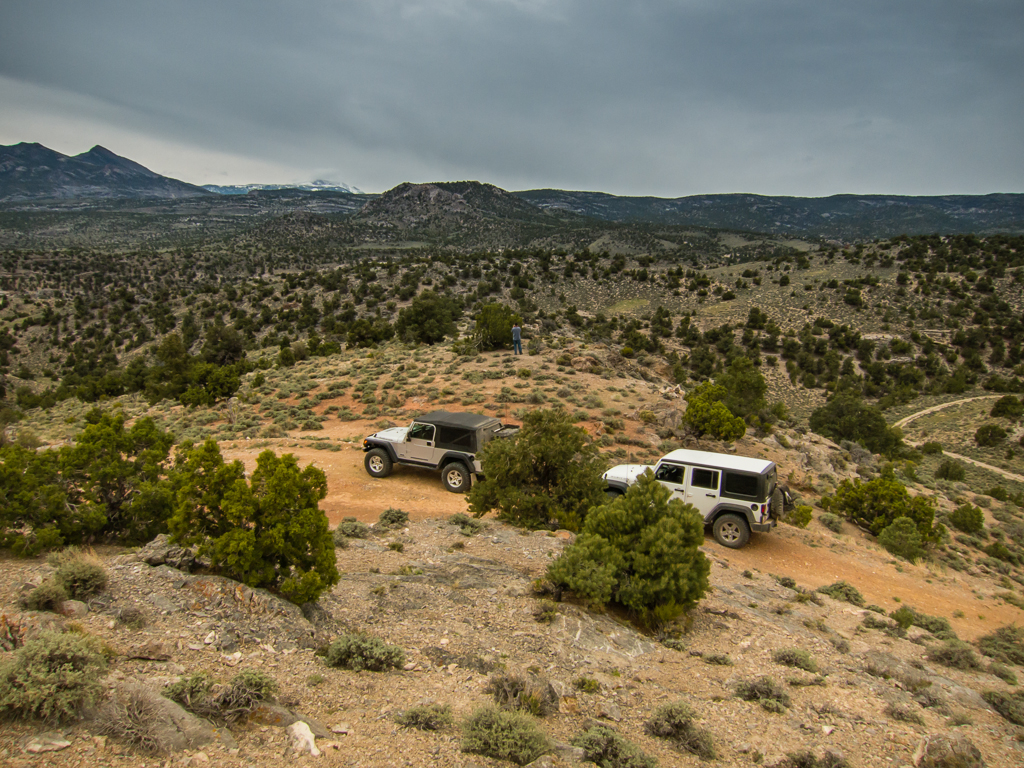
Crossing the paved road to Ibapah, we followed the Ferber Wash drainage towards Little White Horse Pass, where we turned south, over and through the un-named hills for about 25 miles, eventually descending past Ayarbe Spring to the flat plain of Antelope Valley. So far on our journey we had seen no other vehicles or people, but we did pass an occupied camp near Little White Horse.
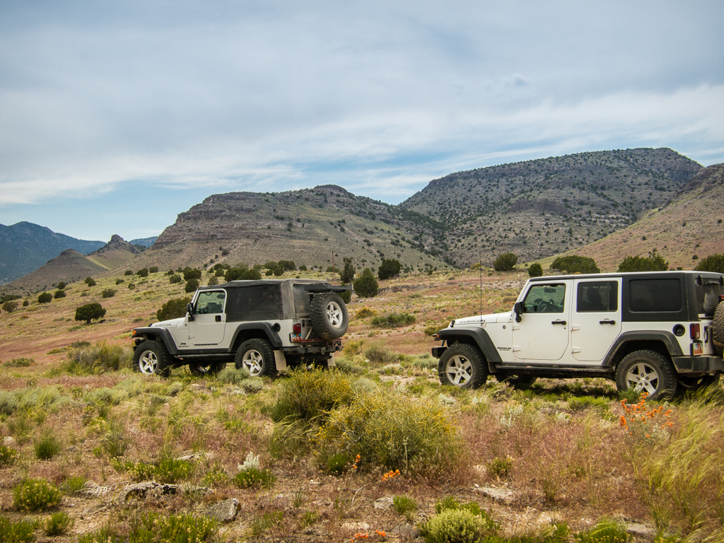
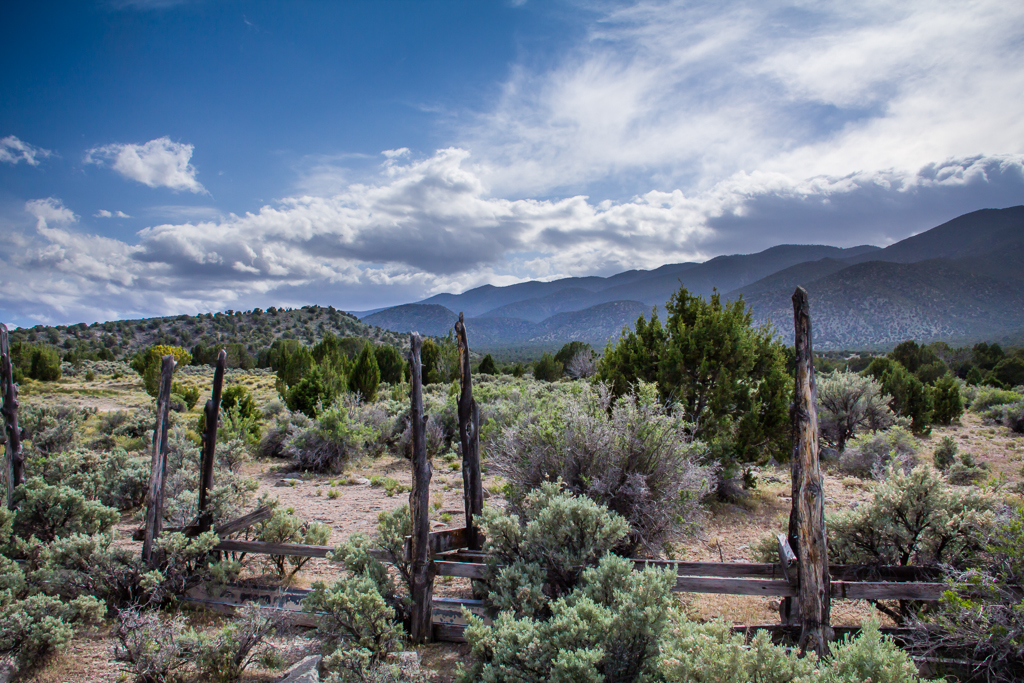
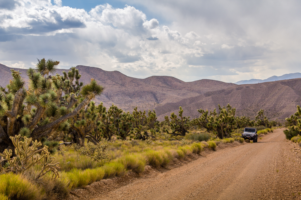
Crossing the unnamed hills near Little White Horse Pass.
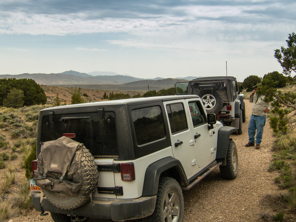
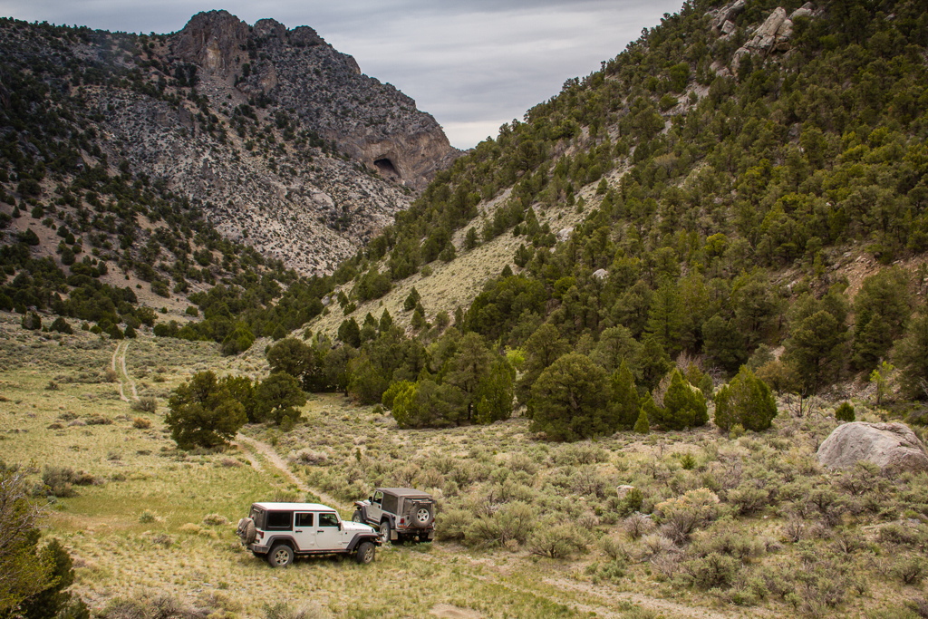
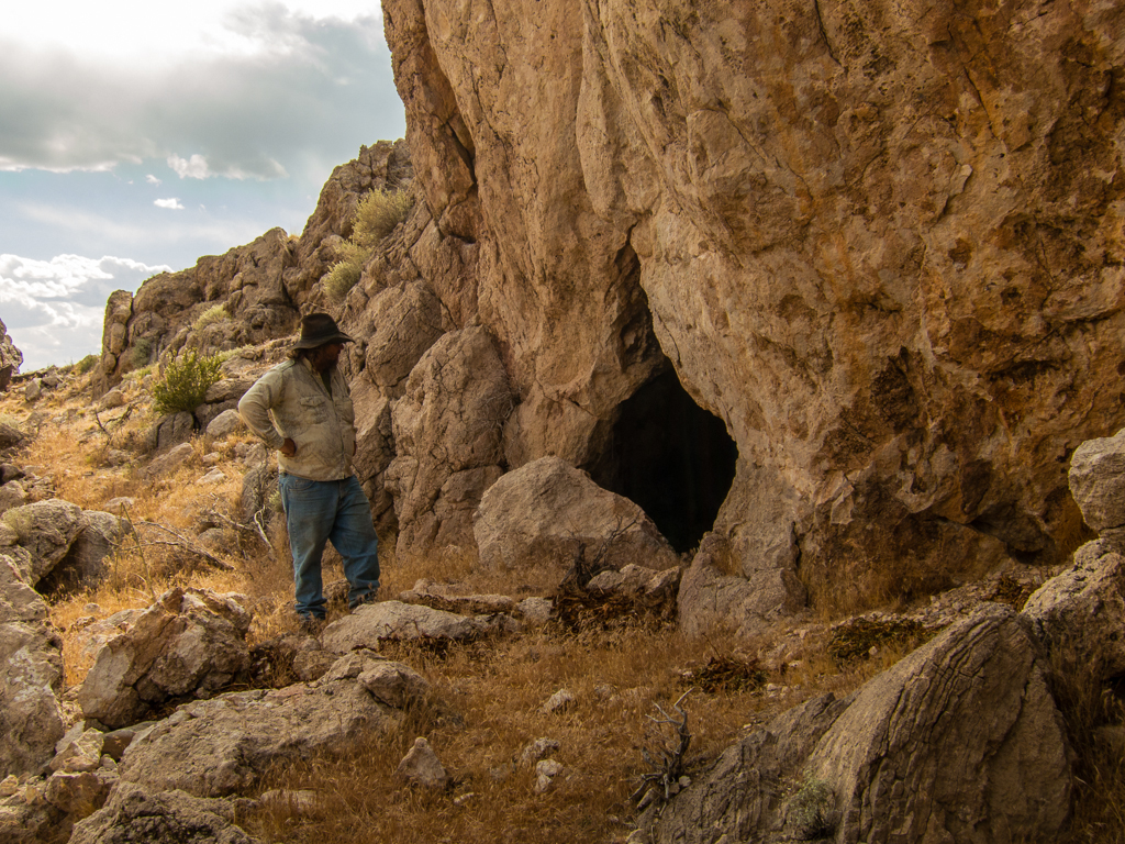
Our path then took us west, to shadow the flank of the Antelope Range southward. We took a side trip up one of the canyons for lunch and investigated a cave.
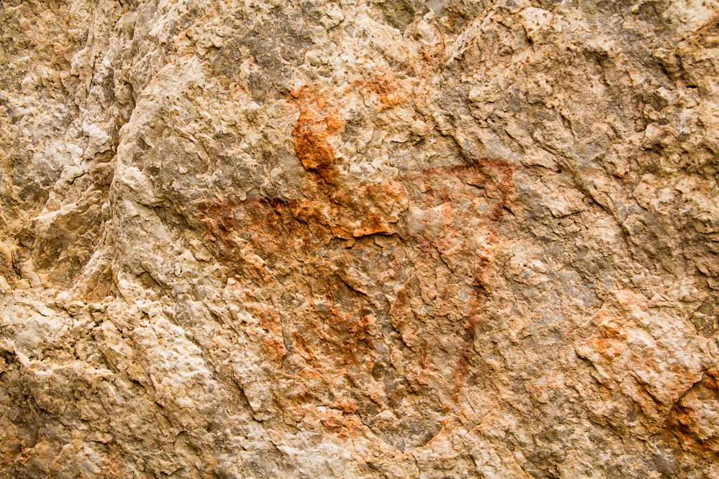
The cave was a nice little bonus. With the floor of the cave heavily blackened by generations of fire and midden material, it was obviously a well used, but un-excavated habitation site. The real bonus came when I looked more closely at the roof of the cave and found a collection of faint pictographs that included all the elements of anthropomorph, zoomorph and symbols both geometric and free form, in red, orange and black. Very nice surprise find!
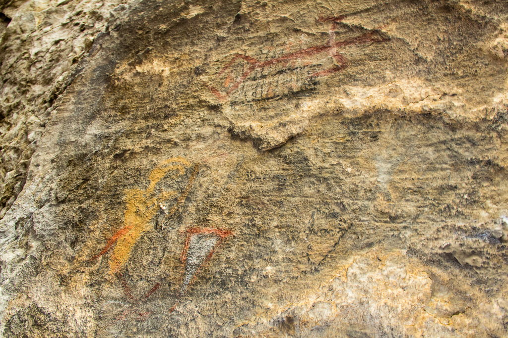
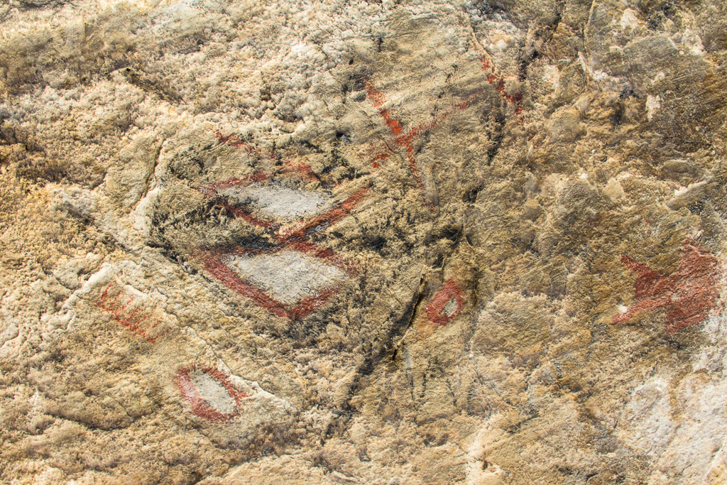
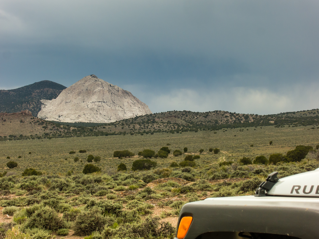
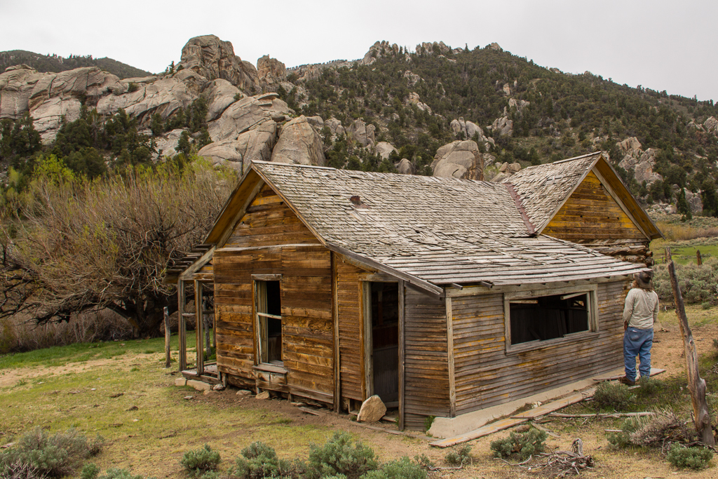
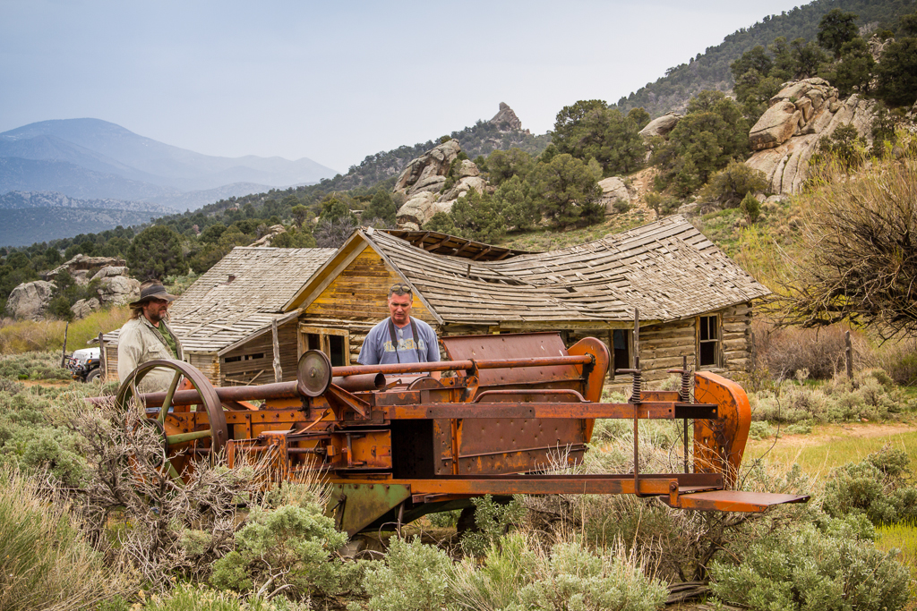
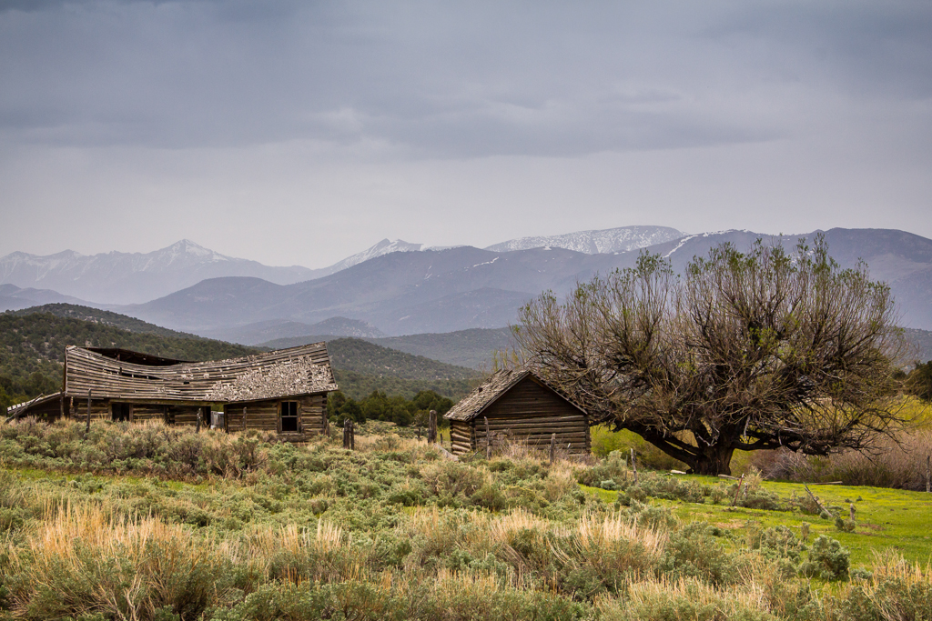
Next, we headed west crossing the valley again and up Tippett Canyon before turning onto the Blue Mass scenic route through the Kern Mountains. While we may have wished for other than dull, flat overcast lighting for picture taking, the scenery at Blue Mass was none the less breathtaking!
- DAA
Featured image for home page:
When a friend mentioned the idea asking if I could plan a route, I knew from previous travel that the possibilities for route variations would be endless. I also knew, that a small amount of pavement would have to be endured to get fuel unless we wanted to carry a bunch of gas cans. Further, I knew that truly avoiding literally as much pavement as possible would add significant time and distance to the trip to avoid only a few miles of pavement. Also, I knew the trip could be made pretty fast and easy, but also very boring, by using the well maintained county dirt roads where possible.
I replied I knew a boring route that could easily be completed in a day and a half, but could concoct a much more interesting one that would require anywhere from three to seven days, depending on just how interesting we wanted to make it and just how committed to avoiding pavement. We decided on three days to complete the journey.
With all this in mind, I quickly laid out a route with accepting a small amount of pavement, but also avoiding the boring “good” dirt roads. Sticking to the obscure, the rough, the rarely travelled, the far more interesting routes as much as possible, given the time constraint of three days to complete.
I had already travelled about 75% of the route, most sections numerous times, but had never travelled it all in one contiguous journey – and there was that 25% I had not yet travelled to really set the hook in me to do this trip.
So… On the morning of Thur. May 16, my friend Tim and I in my Jeep, Eric flying solo in his Jeep, aired down our tires and left pavement behind on the outskirts of Wendover.

With weather that was cool, overcast and windy, but not too cold, we headed west for a few miles, then south along the east flank of the Goshute Mountains. Then between the back of Wildcat Peak and the north end of Ferguson Mountain, trending down to cross highway 93, jotted north and then west to visit Blue Lake.

The deer flies and no-see-ums were fierce around the water so we didn’t dally before heading south to cross the Lead Mine Hills. We made another stop along this section to visit an archaeology site I’m familiar with – known as Bonneville Shores Estates.

A rich archaeological site, excavated in the ‘70s, it holds a treasure trove of artifacts and clues into the lives of the earliest inhabitants of the area. It’s one of the oldest documented habitation sites in the Great Basin, dating back even before the much more famous Danger cave, to more than 10,000 years ago.
Crossing the paved road to Ibapah, we followed the Ferber Wash drainage towards Little White Horse Pass, where we turned south, over and through the un-named hills for about 25 miles, eventually descending past Ayarbe Spring to the flat plain of Antelope Valley. So far on our journey we had seen no other vehicles or people, but we did pass an occupied camp near Little White Horse.
Crossing the unnamed hills near Little White Horse Pass.

Our path then took us west, to shadow the flank of the Antelope Range southward. We took a side trip up one of the canyons for lunch and investigated a cave.
The cave was a nice little bonus. With the floor of the cave heavily blackened by generations of fire and midden material, it was obviously a well used, but un-excavated habitation site. The real bonus came when I looked more closely at the roof of the cave and found a collection of faint pictographs that included all the elements of anthropomorph, zoomorph and symbols both geometric and free form, in red, orange and black. Very nice surprise find!


Next, we headed west crossing the valley again and up Tippett Canyon before turning onto the Blue Mass scenic route through the Kern Mountains. While we may have wished for other than dull, flat overcast lighting for picture taking, the scenery at Blue Mass was none the less breathtaking!


- DAA
Featured image for home page:


