- Joined
- May 5, 2012
- Messages
- 1,727
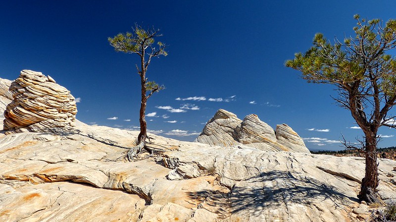
Water Canyon is one of the few access points to the Canaan Mountain wilderness area in far south-western Utah. Canaan Mountain is a sprawling plateau covered with interesting rock formations carved by water and wind, as well as stunning views of both Zion National Park and the Kaibab Plateau.
Access to Water Canyon is through the border towns of Hildale, Utah and Colorado City, Arizona. These towns are dominated by members of the reclusive Fundamentalist Church of Jesus Christ of Latter-day Saints polygamist sect. And reclusive is not an exaggeration.
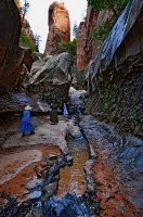
Water Canyon sits just outside of town, up a dirt road that terminates near a small retaining pond. My brother and I arrived an hour or so after sunrise, but the canyon's depth and narrowness mean it is only fully lit for a few hours a day.
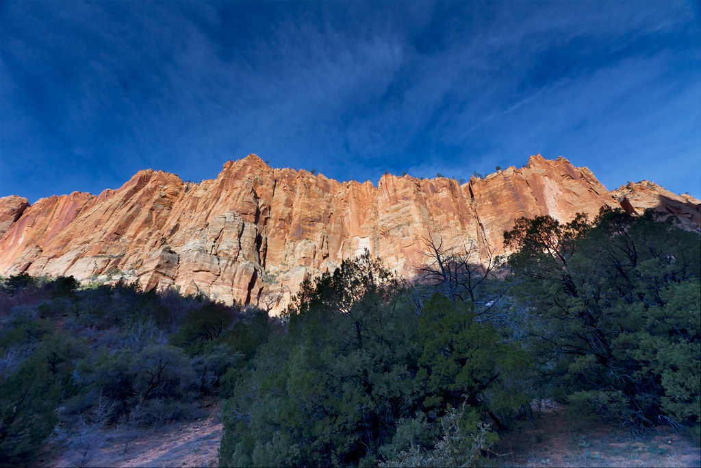
Water Canyon Walls by ashergrey, on Flickr
The trail climbs into the canyon across patches of sand, staying west of and above the creek as the walls draw together. This lower section, though short, reminded me of the Left Fork of North Creek in Zion National Park, below the Subway. Lots of boulders in the stream bed with high, cliffy walls above.
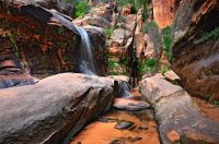
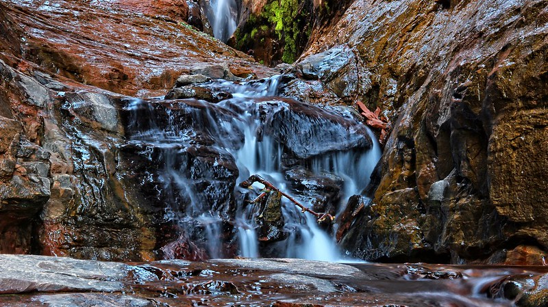
After 20-30 minutes on the trail you enter a small water park where the creek streams across a series of short falls.
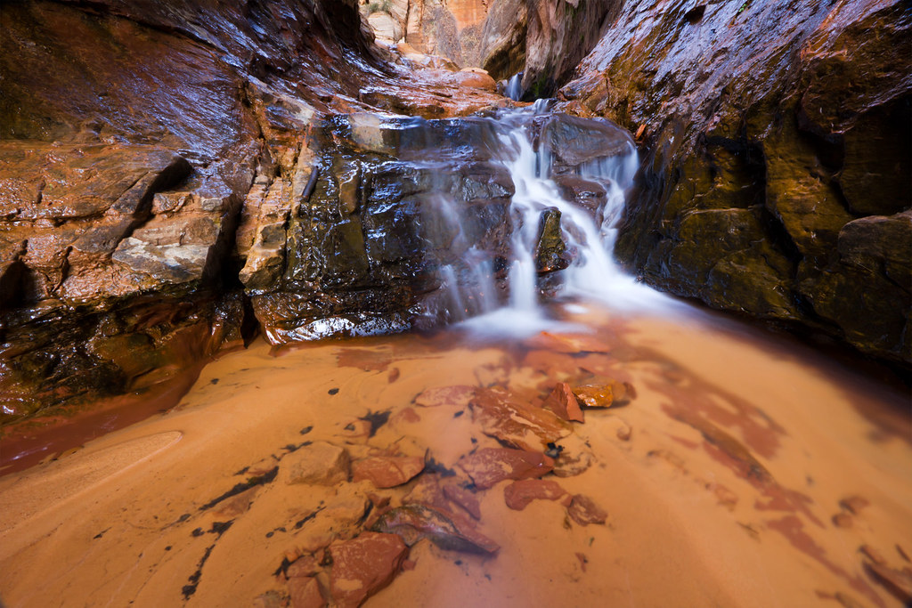
Water Canyon by ashergrey, on Flickr
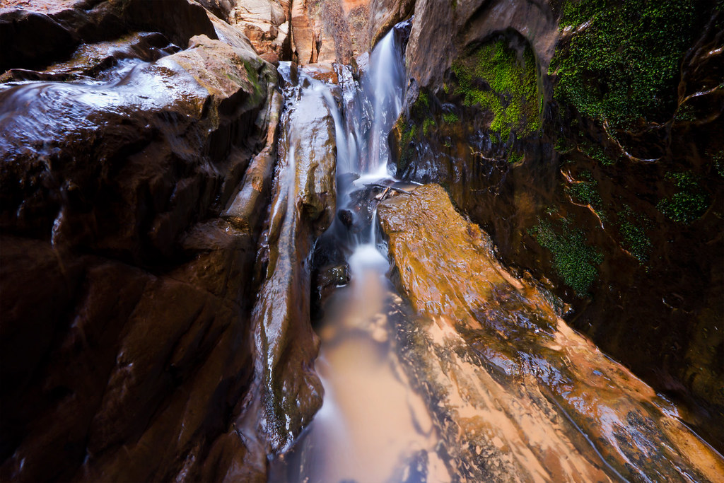
Cutting a Path by ashergrey, on Flickr
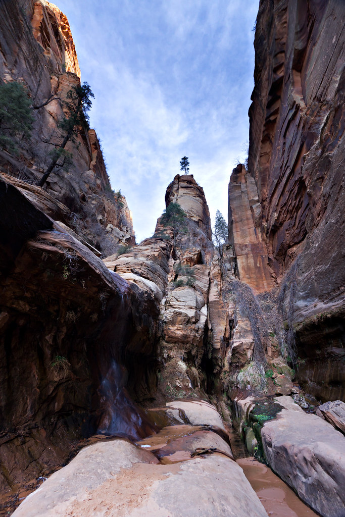
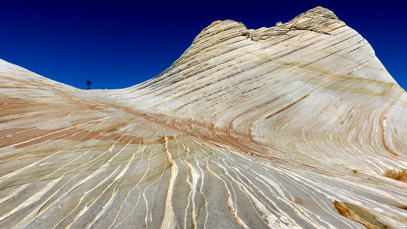
Tree on a Tower by ashergrey, on Flickr
A large family of polygamists were hiking here. The mother led the group. The boys wore long-sleeve shirts tucked into dungarees and the girls were in prairie dresses and Crocs. They walked single-file, tallest to smallest, like a line of Matryoshka dolls. We kept a polite distance but it was obvious that the mother was uncomfortable with our presence.
From here the trail skirts along the left wall, ramping up above some slots. It steepens, ascending to a flat that provides a dramatic view back down the canyon.
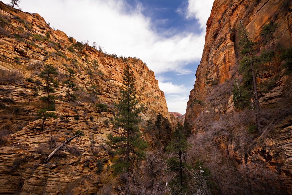
Down the Canyon by ashergrey, on Flickr
The upper section of the canyon is wider and deeper. The terrain is rough and the trail becomes sketchy in places. At one point my brother and I missed a turn and found ourselves on a precarious slope of sand. He backtracked to find the trail again while I bushwhacked my way up to meet him. This little deviation cost us a fair amount of time and later prevented us from seeing all I'd have liked on Canaan Mountain, so it's important to stick to the path.
It's hard to appreciate the consequences of a misstep here, as it's a long way down.
There are a few areas with descent exposure as the trail works its way up toward Top Rock. Chain assists were once anchored into the rock but they've since been removed. Snow still covered some sections of the upper reaches during mid-March, adding to the sense of risk involved with climbing out of lower Water Canyon. You at last reach Top Rock, a dome covered with carved names and dates… backcountry graffiti.
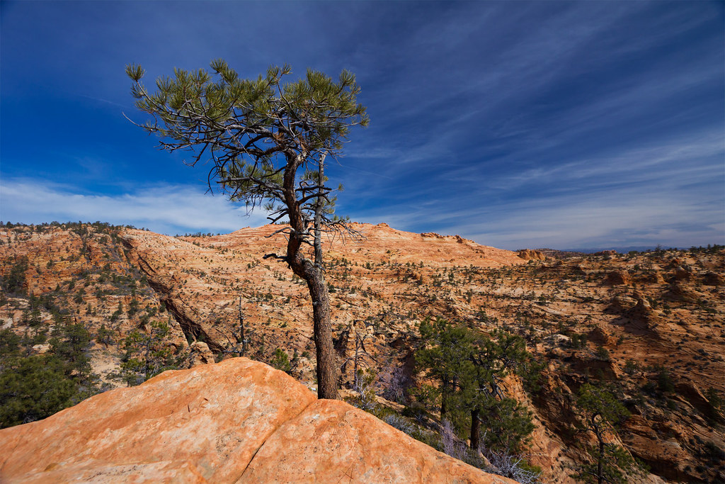
Top Rock by ashergrey, on Flickr
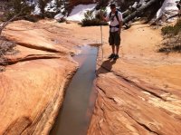
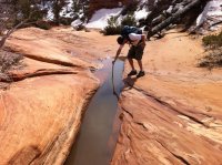
After Top Rock, the trail fades as it heads north-west into upper Water Canyon. This is a beautiful area involving several large snow-fed pools and pour-offs. Erosion has made a real marvel out of this place.
Canaan Mountain is absolutely covered with Moqui Marbles. They just litter the ground.
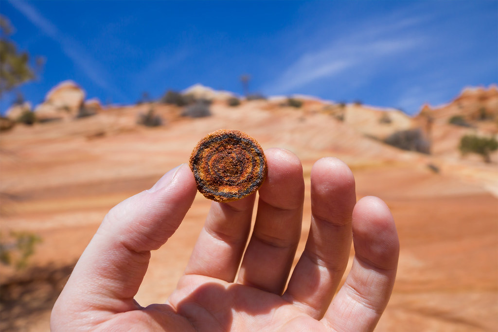
Moqui Marble by ashergrey, on Flickr
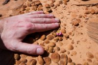
I also found the most amazing little flower growing out of the sand. It looked at first to be a stem from some plant that had been split off but that turned out not to be the case. The plant had a tenuous grip on survival. My hand provides scale (note the scratches from bushwhacking).
The goal here is to continue up to a small tributary and serves as the exit from Water Canyon. Follow the wash along until it terminates at a large sandstone amphitheater.
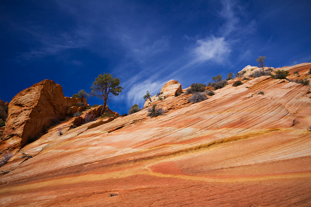
Taffy Sky by ashergrey, on Flickr
To the west is a small narrow that constricts to the point that a person cannot fit between the walls.
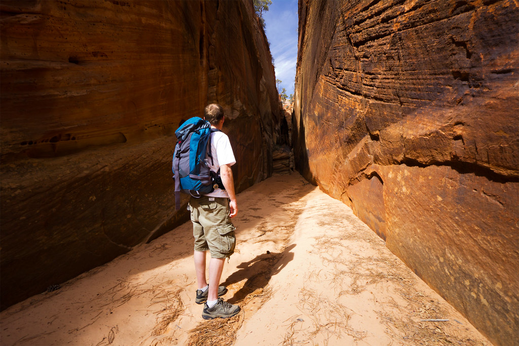
Call of the Narrows by ashergrey, on Flickr
My brother decided to offer this useful guide for any others who might follow our footpath into the narrows.
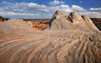
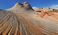
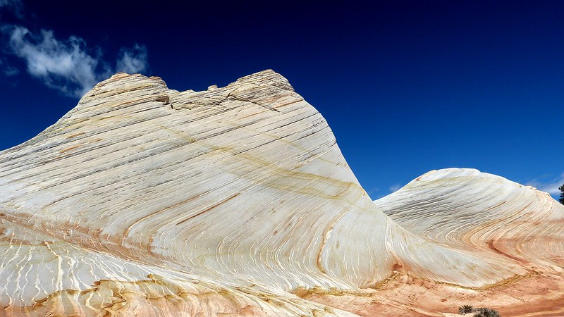
Back in the amphitheater, we start the steep climb up to White Dome.
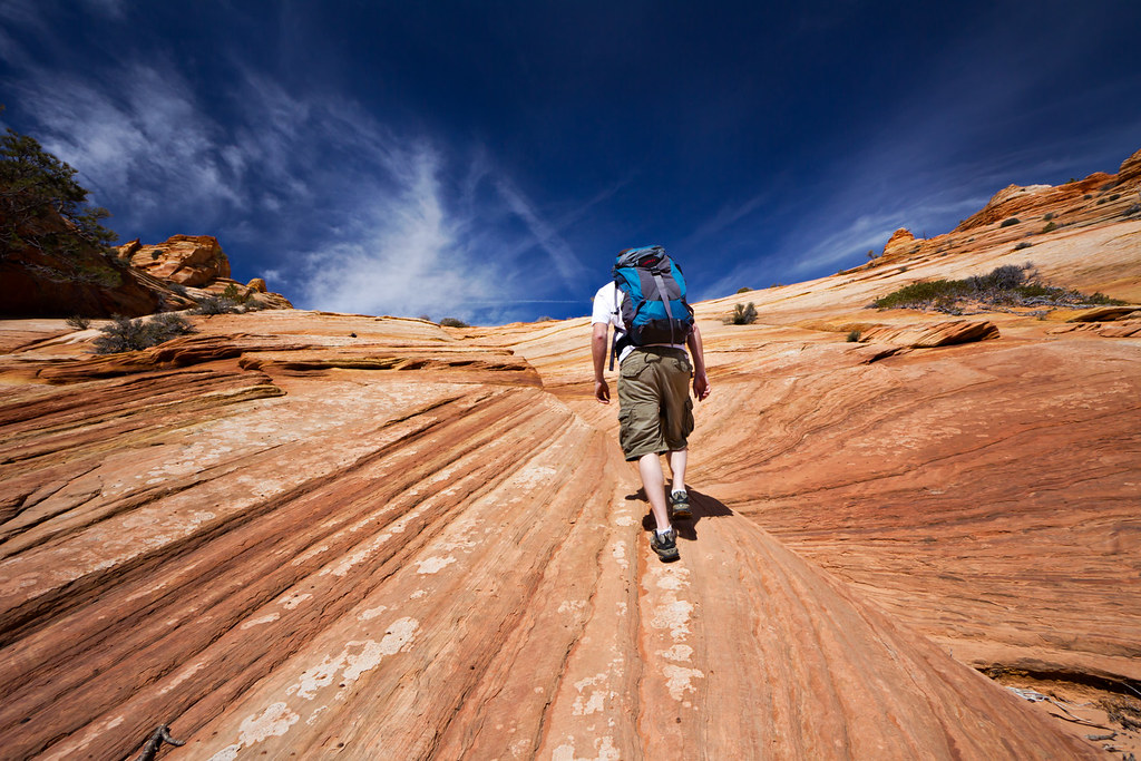
Following the Curve by ashergrey, on Flickr
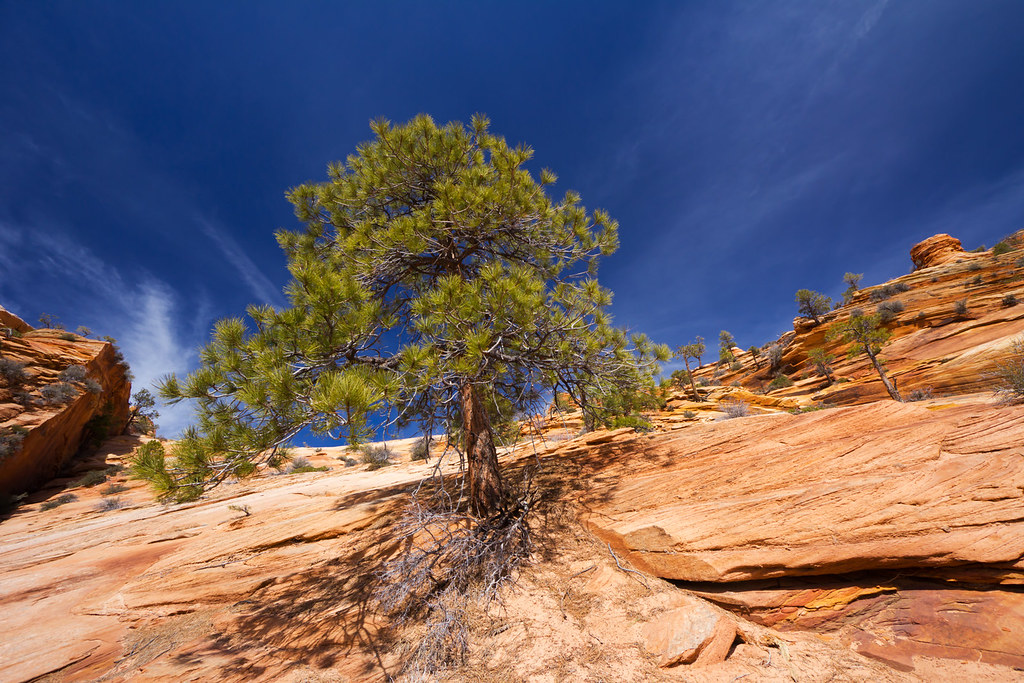
Sandy Roots by ashergrey, on Flickr
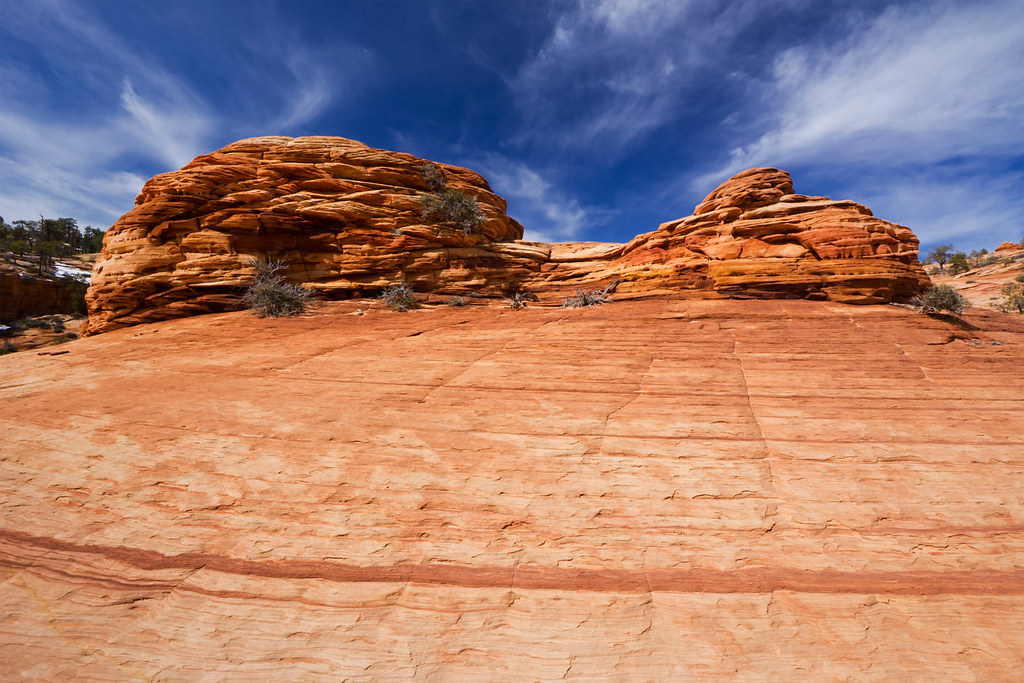
Flaking Away by ashergrey, on Flickr
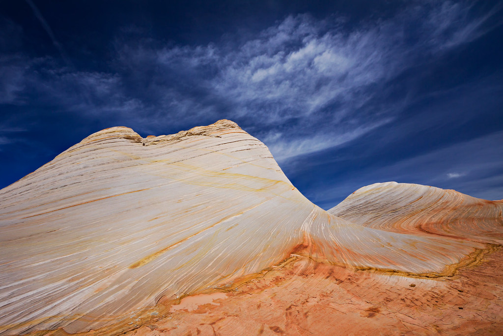
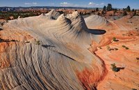
The White Wave by ashergrey, on Flickr
From this crest you can look north toward Zion, seeing all the way to Flat Top near New Harmony…
…or south into Arizona and the Kaibab Plateau. Nowhere can you see civilization, aside from the jet contrails criss-crossing the sky. It is true wilderness.
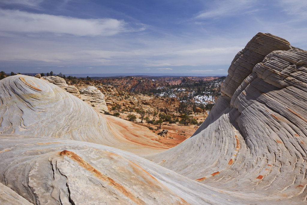
South from White Domes by ashergrey, on Flickr
Because of the time lost off trail in lower Water Canyon, we were unable to head to the windlass. Old cable works like those in Zion are still on the mountain from years ago when workers lowered timber into the valley.
I wasn't too thrilled with the idea of navigating the snowy sections of exposed trail on the descent and wondered about instead coming down Squirrel Canyon. In the end, we opted to go with the known quantity of Water Canyon. I'd not read up on Squirrel and for all I knew trail conditions there could have been just as bad or worse. The diversion would have also added significant mileage to our trip.
The few sketchy spots didn't prove too difficult to get down… just don't down peer over the edge or you'll find yourself butt-sliding or clinging to the canyon wall.
We stopped again in lower Water Canyon to explore the waterway and take some pictures. I almost lost my camera in this pool. Click through to Flickr for that story.
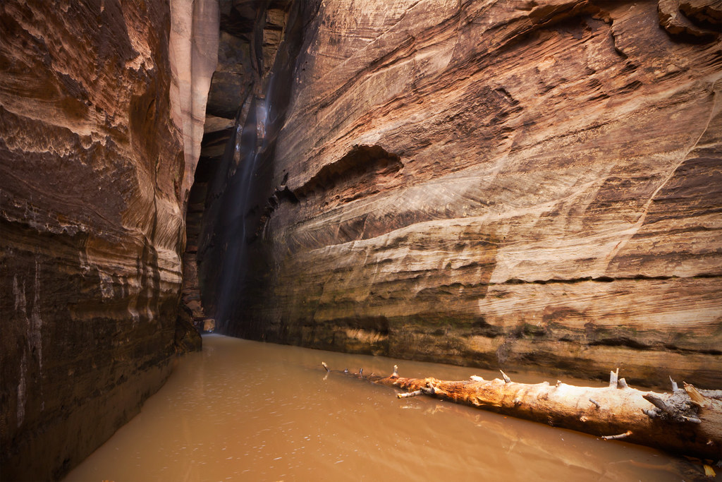
The Scene of a Near Disaster by ashergrey, on Flickr
On the way out of the canyon we stopped for a few minutes to admire this arch high on the east wall.
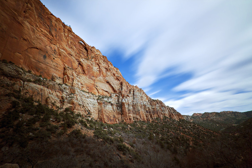
Water Canyon Arch by ashergrey, on Flickr
It would be really cool to explore this area more. I get the feeling there are a lot of photographic opportunities yet to be found in this area (GPS track).
The next day we hit the Thunder Over Utah air show. But that's another story.
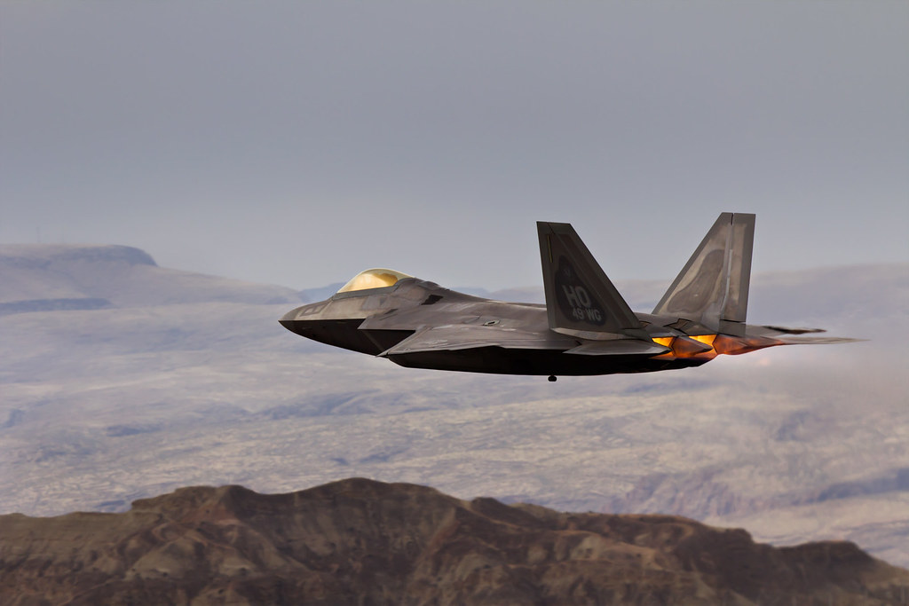
Raptor Over Utah by ashergrey, on Flickr
Featured image for slideshow:
Access to Water Canyon is through the border towns of Hildale, Utah and Colorado City, Arizona. These towns are dominated by members of the reclusive Fundamentalist Church of Jesus Christ of Latter-day Saints polygamist sect. And reclusive is not an exaggeration.

Water Canyon sits just outside of town, up a dirt road that terminates near a small retaining pond. My brother and I arrived an hour or so after sunrise, but the canyon's depth and narrowness mean it is only fully lit for a few hours a day.

Water Canyon Walls by ashergrey, on Flickr
The trail climbs into the canyon across patches of sand, staying west of and above the creek as the walls draw together. This lower section, though short, reminded me of the Left Fork of North Creek in Zion National Park, below the Subway. Lots of boulders in the stream bed with high, cliffy walls above.
After 20-30 minutes on the trail you enter a small water park where the creek streams across a series of short falls.

Water Canyon by ashergrey, on Flickr

Cutting a Path by ashergrey, on Flickr

Tree on a Tower by ashergrey, on Flickr
A large family of polygamists were hiking here. The mother led the group. The boys wore long-sleeve shirts tucked into dungarees and the girls were in prairie dresses and Crocs. They walked single-file, tallest to smallest, like a line of Matryoshka dolls. We kept a polite distance but it was obvious that the mother was uncomfortable with our presence.
From here the trail skirts along the left wall, ramping up above some slots. It steepens, ascending to a flat that provides a dramatic view back down the canyon.

Down the Canyon by ashergrey, on Flickr
The upper section of the canyon is wider and deeper. The terrain is rough and the trail becomes sketchy in places. At one point my brother and I missed a turn and found ourselves on a precarious slope of sand. He backtracked to find the trail again while I bushwhacked my way up to meet him. This little deviation cost us a fair amount of time and later prevented us from seeing all I'd have liked on Canaan Mountain, so it's important to stick to the path.
It's hard to appreciate the consequences of a misstep here, as it's a long way down.
There are a few areas with descent exposure as the trail works its way up toward Top Rock. Chain assists were once anchored into the rock but they've since been removed. Snow still covered some sections of the upper reaches during mid-March, adding to the sense of risk involved with climbing out of lower Water Canyon. You at last reach Top Rock, a dome covered with carved names and dates… backcountry graffiti.

Top Rock by ashergrey, on Flickr
After Top Rock, the trail fades as it heads north-west into upper Water Canyon. This is a beautiful area involving several large snow-fed pools and pour-offs. Erosion has made a real marvel out of this place.


Canaan Mountain is absolutely covered with Moqui Marbles. They just litter the ground.

Moqui Marble by ashergrey, on Flickr
I also found the most amazing little flower growing out of the sand. It looked at first to be a stem from some plant that had been split off but that turned out not to be the case. The plant had a tenuous grip on survival. My hand provides scale (note the scratches from bushwhacking).

The goal here is to continue up to a small tributary and serves as the exit from Water Canyon. Follow the wash along until it terminates at a large sandstone amphitheater.

Taffy Sky by ashergrey, on Flickr
To the west is a small narrow that constricts to the point that a person cannot fit between the walls.

Call of the Narrows by ashergrey, on Flickr
My brother decided to offer this useful guide for any others who might follow our footpath into the narrows.

Back in the amphitheater, we start the steep climb up to White Dome.

Following the Curve by ashergrey, on Flickr

Sandy Roots by ashergrey, on Flickr


Flaking Away by ashergrey, on Flickr


The White Wave by ashergrey, on Flickr

From this crest you can look north toward Zion, seeing all the way to Flat Top near New Harmony…

…or south into Arizona and the Kaibab Plateau. Nowhere can you see civilization, aside from the jet contrails criss-crossing the sky. It is true wilderness.

South from White Domes by ashergrey, on Flickr
Because of the time lost off trail in lower Water Canyon, we were unable to head to the windlass. Old cable works like those in Zion are still on the mountain from years ago when workers lowered timber into the valley.
I wasn't too thrilled with the idea of navigating the snowy sections of exposed trail on the descent and wondered about instead coming down Squirrel Canyon. In the end, we opted to go with the known quantity of Water Canyon. I'd not read up on Squirrel and for all I knew trail conditions there could have been just as bad or worse. The diversion would have also added significant mileage to our trip.
The few sketchy spots didn't prove too difficult to get down… just don't down peer over the edge or you'll find yourself butt-sliding or clinging to the canyon wall.
We stopped again in lower Water Canyon to explore the waterway and take some pictures. I almost lost my camera in this pool. Click through to Flickr for that story.

The Scene of a Near Disaster by ashergrey, on Flickr
On the way out of the canyon we stopped for a few minutes to admire this arch high on the east wall.

Water Canyon Arch by ashergrey, on Flickr
It would be really cool to explore this area more. I get the feeling there are a lot of photographic opportunities yet to be found in this area (GPS track).
The next day we hit the Thunder Over Utah air show. But that's another story.

Raptor Over Utah by ashergrey, on Flickr
Featured image for slideshow:


