Udink
Still right here.
- Joined
- Jan 17, 2012
- Messages
- 1,748
My wife and I went to Southern Utah last weekend for the annual spring geocaching event in St. George. We were staying at Big_E!'s house, and after meeting Big_E and his wife there on Friday afternoon, we drove to Zion for a nice intro to the park. On Saturday morning we attended the breakfast event in St. George with about 125 other geocachers, then a group of us broke off and did some off-roading around the tri-state corner area. Sunday was a slower-paced day, with a leisurely drive up the west rim of Sand Mountain and some rappelling to place a geocache in a hole in a cliff.
Day 1 - Zion National Park
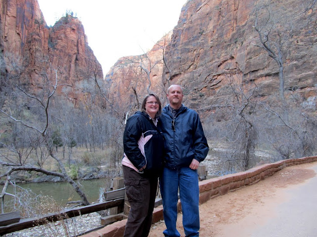
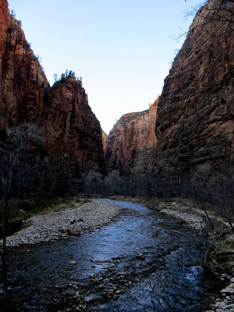
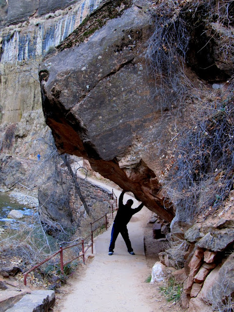
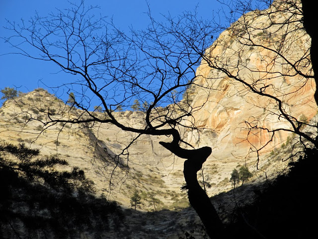
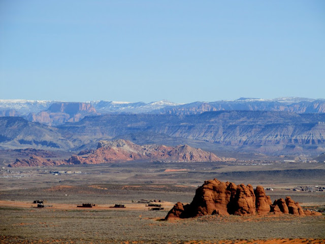
It was late afternoon when we rolled into Zion, most of the drive was in the cold shade, but the high canyon walls were lit up nicely with the low sun. We drove around a little bit while occasionally stopping to sight-see and take photos, then we walked the Riverside Walk trail. It was chilly, but still nice time to be in Zion. After checking out Weeping Rock just after sundown, we stopped at Oscar's Cafe for dinner. We turned in a little early that night so we could be up bright and early for the breakfast event.
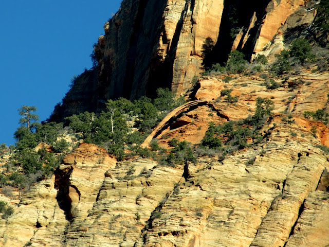
Crawford Arch high up on Bridge Mountain
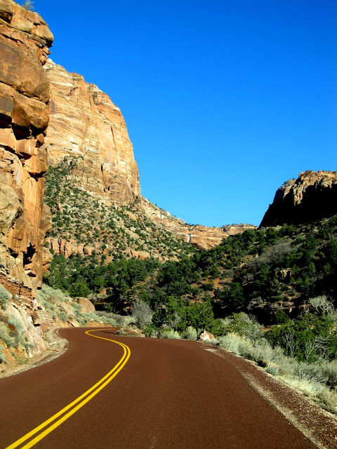
Highway 9 through Zion NP
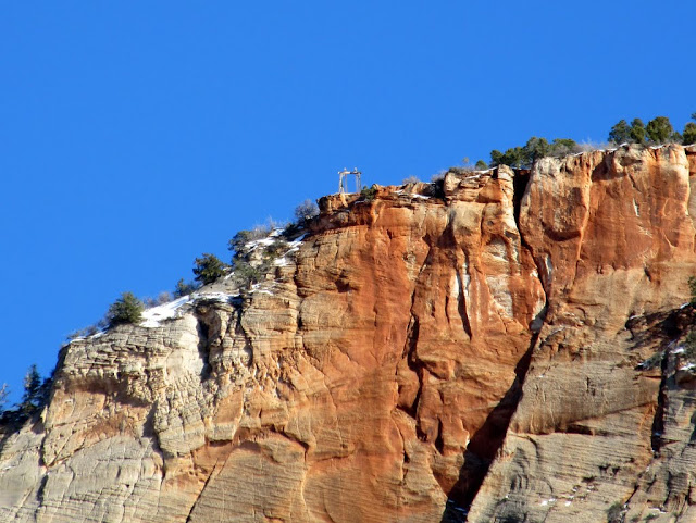
Old cable works on Cable Mountain
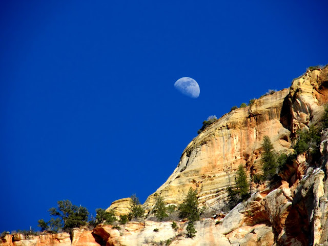
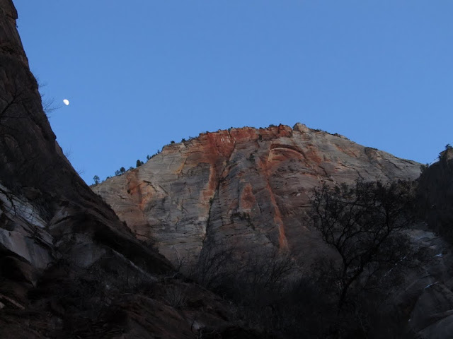
Moon behind Cable Mountain
My wife and me on the Riverside Walk trail
North Fork of the Virgin River
Along the Riverside Walk trail
Tree at the end of the trail
Mountain of Mystery
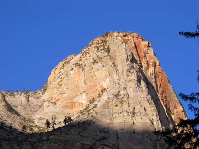
Cable Mountain
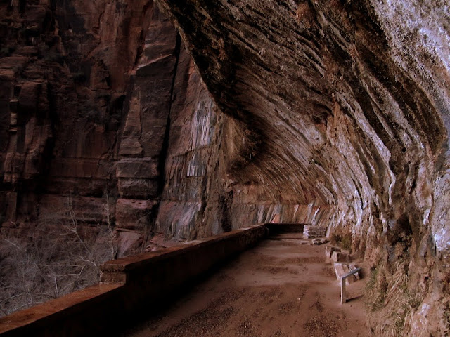
Weeping Rock
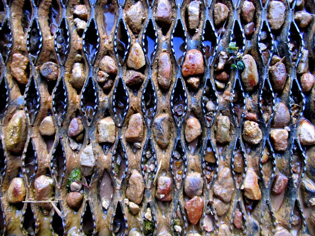
Pebbles in the steps at Weeping Rock
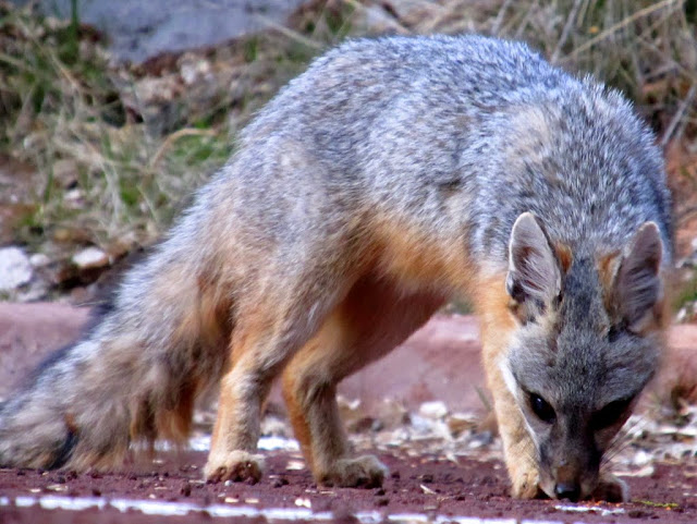
A fairly tame fox at the Weeping Rock parking lot
Full set of photos:
https://picasaweb.google.com/Dennis.Udink/SoUT2012Day1ZionNationalPark
Google Map:
http://maps.google.com/maps?q=http://udink.org/geo/So-UT2012Day1ZionNationalPark.kmz&hl=en&sll=37.0625,-95.677068&sspn=40.545434,86.572266&t=h&z=12
http://udink.org/geo/So-UT2012Day1ZionNationalPark.kmz
Day 2 - Tri-State Corner
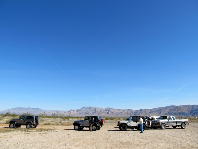
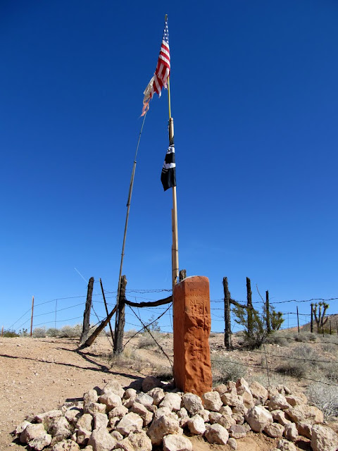
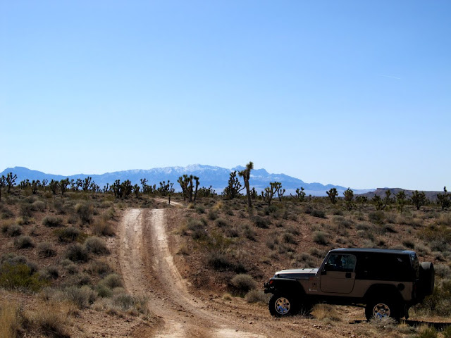
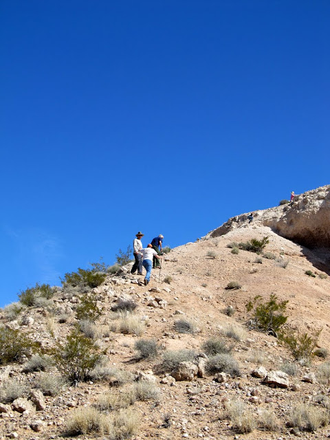
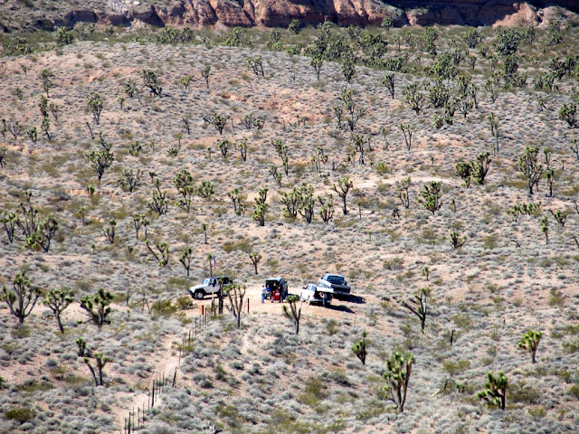
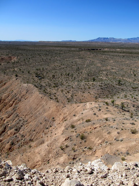
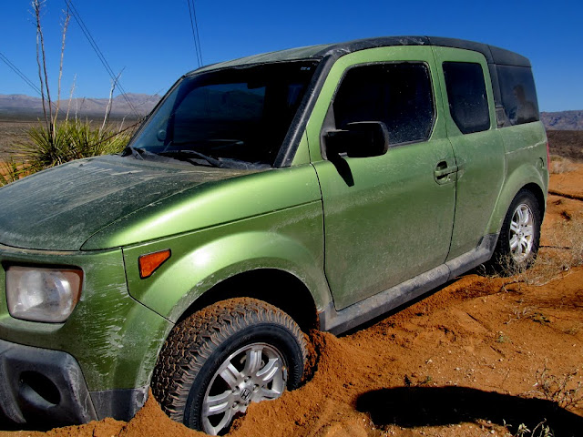
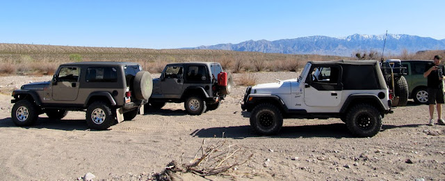
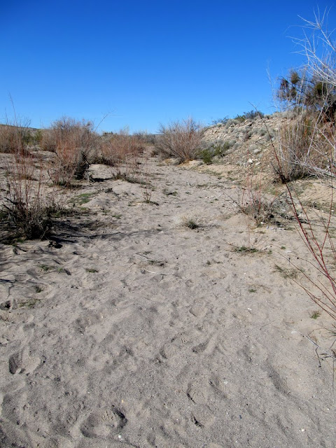
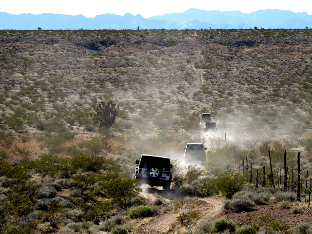
We were up early the second day and hung out with a large group of geocachers in the Golden Corral parking lot in St. George. After breakfast, a group consisting of four Jeeps, my F-250, a Suburban, and a Honda Element took off for the tri-state corner area. We left the pavement near Littlefield, AZ, and headed straight for the spot where the borders of Utah, Arizona, and Nevada meet. From there we hiked to the top of Initial Mesa, then drove around the area while stopping to find geocaches and slowly making our way back to civilization. The most notable places we went were the degree confluence at N 37 W 114 degrees, and the lowest point in Utah at Beaver Dam Wash. We started heading back into Utah in early evening, ate dinner at Five Guys in St. George, then found a night cache before returning to Big_E's house for cocktails.
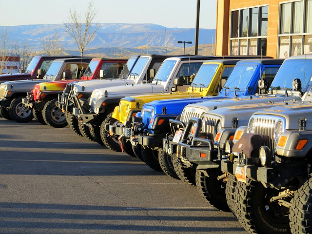
Jeep Row before the breakfast event
Leaving the pavement near Littlefield, AZ, on the way to the tri-state corner
Monument at the tri-state corner
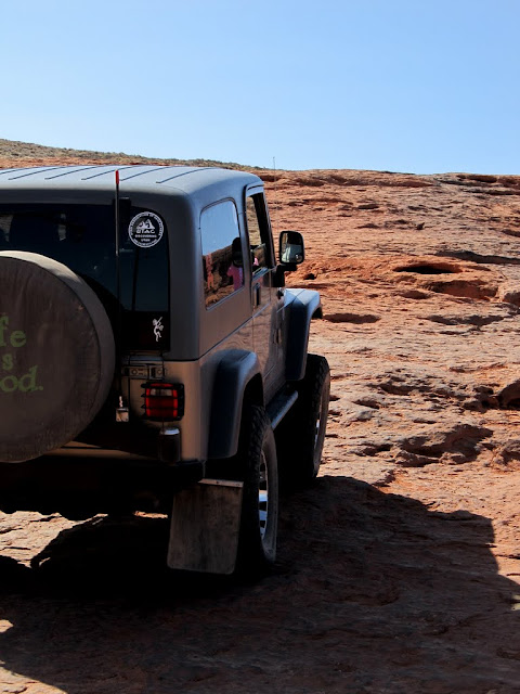
Big_E's Jeep parked at the tri-state corner
Hiking up Initial Mesa
Vehicles parked in Nevada near the tri-state corner (photo taken from Initial Mesa on the Utah side)
View along the AZ-UT border from Initial Mesa (Mormon Mountains on the horizon)
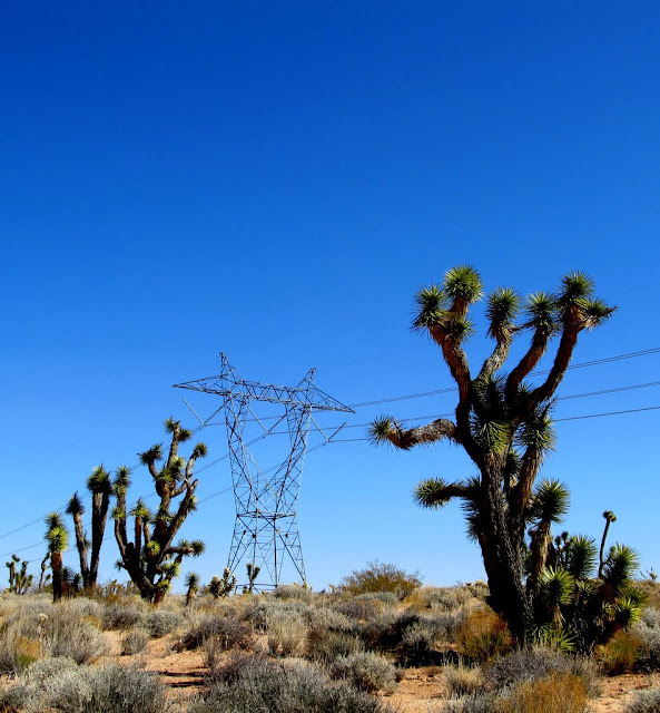
Powerline at the AZ-NV state line
The Grean Bean stuck in the sand
Dropping off the mesa into Beaver Dam Wash
At the N 37 W 114 degree confluence in Beaver Dam Wash
The lowest point in Utah at Beaver Dam Wash
Following a fenceline across Big Bend Wash
Full set of photos:
https://picasaweb.google.com/Dennis.Udink/SoUT2012Day2TriStateCorner
Google Map:
http://maps.google.com/maps?q=http://udink.org/geo/So-UT2012Day2TriStateCorner.kmz&hl=en&sll=37.0625,-95.677068&sspn=40.545434,86.572266&t=h&z=11
http://udink.org/geo/So-UT2012Day2TriStateCorner.kmz
Day 3 - Sand Mountain
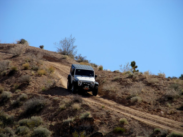
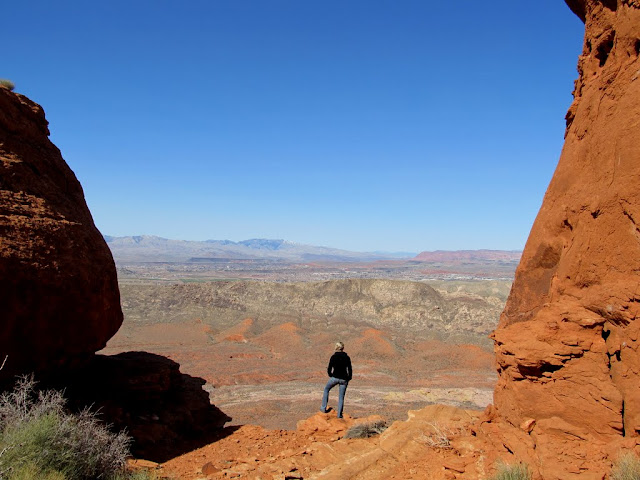
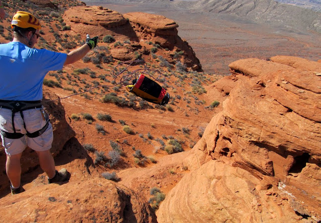
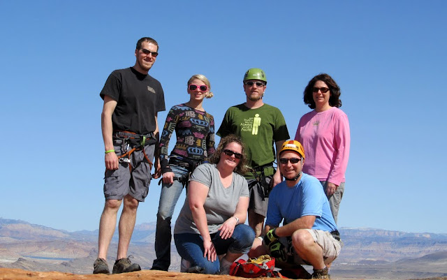
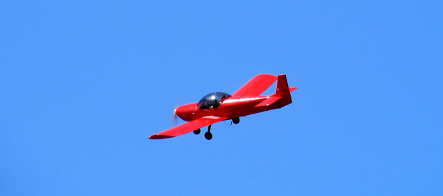
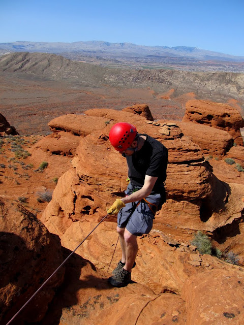
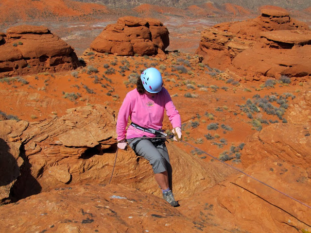
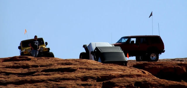
We spent our final day in a small group of six, and we headed to a spot on Sand Mountain where we hoped to rappel and hide a geocache. Out of all our vehicles, only Big_E's Jeep could get us where we wanted to go, though the Element made it pretty far up the west rim trail. We eventually piled four people in the Jeep and two of us stood on the side rails for the last mile or so before reaching some sandstone fins. We found a nice cliff to rappel from, but there were no anchors on top of the fin, so we secured a long rope to a boulder between two fins, then slung it over the top of the fin and down the other side. We all rappelled a couple of times, and I found a nice hidey-hole to throw a small geocache container into. We got buzzed by a couple of airplanes while there, and watched a few Jeeps do some rock-crawling. It was a relaxing day, and I was reluctant to head home after spending three days in the sun.
The trail up the west rim of Sand Mountain
Up and over the ledge

Sand Hollow
Karin looking off the west rim of Sand Mountain
Rope!
Our group
One of the planes that buzzed us
Rappelling
Boys and their toys
Full set of photos:
https://picasaweb.google.com/Dennis.Udink/SoUT2012Day3SandMountain
Google Map:
http://maps.google.com/maps?q=http://udink.org/geo/So-UT2012Day3SandMountain.kmz&hl=en&sll=37.0625,-95.677068&sspn=40.545434,86.572266&t=h&z=14
http://udink.org/geo/So-UT2012Day3SandMountain.kmz
Featured image for slideshow:

Day 1 - Zion National Park
It was late afternoon when we rolled into Zion, most of the drive was in the cold shade, but the high canyon walls were lit up nicely with the low sun. We drove around a little bit while occasionally stopping to sight-see and take photos, then we walked the Riverside Walk trail. It was chilly, but still nice time to be in Zion. After checking out Weeping Rock just after sundown, we stopped at Oscar's Cafe for dinner. We turned in a little early that night so we could be up bright and early for the breakfast event.
Crawford Arch high up on Bridge Mountain
Highway 9 through Zion NP
Old cable works on Cable Mountain
Moon behind Cable Mountain
My wife and me on the Riverside Walk trail
North Fork of the Virgin River
Along the Riverside Walk trail
Tree at the end of the trail
Mountain of Mystery
Cable Mountain
Weeping Rock
Pebbles in the steps at Weeping Rock
A fairly tame fox at the Weeping Rock parking lot
Full set of photos:
https://picasaweb.google.com/Dennis.Udink/SoUT2012Day1ZionNationalPark
Google Map:
http://maps.google.com/maps?q=http://udink.org/geo/So-UT2012Day1ZionNationalPark.kmz&hl=en&sll=37.0625,-95.677068&sspn=40.545434,86.572266&t=h&z=12
http://udink.org/geo/So-UT2012Day1ZionNationalPark.kmz
Day 2 - Tri-State Corner
We were up early the second day and hung out with a large group of geocachers in the Golden Corral parking lot in St. George. After breakfast, a group consisting of four Jeeps, my F-250, a Suburban, and a Honda Element took off for the tri-state corner area. We left the pavement near Littlefield, AZ, and headed straight for the spot where the borders of Utah, Arizona, and Nevada meet. From there we hiked to the top of Initial Mesa, then drove around the area while stopping to find geocaches and slowly making our way back to civilization. The most notable places we went were the degree confluence at N 37 W 114 degrees, and the lowest point in Utah at Beaver Dam Wash. We started heading back into Utah in early evening, ate dinner at Five Guys in St. George, then found a night cache before returning to Big_E's house for cocktails.
Jeep Row before the breakfast event
Leaving the pavement near Littlefield, AZ, on the way to the tri-state corner
Monument at the tri-state corner
Big_E's Jeep parked at the tri-state corner
Hiking up Initial Mesa
Vehicles parked in Nevada near the tri-state corner (photo taken from Initial Mesa on the Utah side)
View along the AZ-UT border from Initial Mesa (Mormon Mountains on the horizon)
Powerline at the AZ-NV state line
The Grean Bean stuck in the sand
Dropping off the mesa into Beaver Dam Wash
At the N 37 W 114 degree confluence in Beaver Dam Wash
The lowest point in Utah at Beaver Dam Wash
Following a fenceline across Big Bend Wash
Full set of photos:
https://picasaweb.google.com/Dennis.Udink/SoUT2012Day2TriStateCorner
Google Map:
http://maps.google.com/maps?q=http://udink.org/geo/So-UT2012Day2TriStateCorner.kmz&hl=en&sll=37.0625,-95.677068&sspn=40.545434,86.572266&t=h&z=11
http://udink.org/geo/So-UT2012Day2TriStateCorner.kmz
Day 3 - Sand Mountain
We spent our final day in a small group of six, and we headed to a spot on Sand Mountain where we hoped to rappel and hide a geocache. Out of all our vehicles, only Big_E's Jeep could get us where we wanted to go, though the Element made it pretty far up the west rim trail. We eventually piled four people in the Jeep and two of us stood on the side rails for the last mile or so before reaching some sandstone fins. We found a nice cliff to rappel from, but there were no anchors on top of the fin, so we secured a long rope to a boulder between two fins, then slung it over the top of the fin and down the other side. We all rappelled a couple of times, and I found a nice hidey-hole to throw a small geocache container into. We got buzzed by a couple of airplanes while there, and watched a few Jeeps do some rock-crawling. It was a relaxing day, and I was reluctant to head home after spending three days in the sun.
The trail up the west rim of Sand Mountain
Up and over the ledge
Sand Hollow
Karin looking off the west rim of Sand Mountain
Rope!
Our group
One of the planes that buzzed us
Rappelling
Boys and their toys
Full set of photos:
https://picasaweb.google.com/Dennis.Udink/SoUT2012Day3SandMountain
Google Map:
http://maps.google.com/maps?q=http://udink.org/geo/So-UT2012Day3SandMountain.kmz&hl=en&sll=37.0625,-95.677068&sspn=40.545434,86.572266&t=h&z=14
http://udink.org/geo/So-UT2012Day3SandMountain.kmz
Featured image for slideshow:
