Navigation
Install the app
How to install the app on iOS
Follow along with the video below to see how to install our site as a web app on your home screen.
Note: This feature may not be available in some browsers.
More options
You are using an out of date browser. It may not display this or other websites correctly.
You should upgrade or use an alternative browser.
You should upgrade or use an alternative browser.
Smoke Map ....... 2024
- Thread starter Bob
- Start date
fossana
Member
- Joined
- Jan 11, 2018
- Messages
- 923
OldBill
Member
- Joined
- Aug 18, 2015
- Messages
- 465
Actually not true if you look at the data. The patterns are quite different. For perspective, we had a minimal wildfire season last year in southern UT.
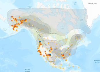
Maybe mix-up in the msg. I was referring to last year's fire map as similar: CA/West Coast, AK and SW US having a lot of fires. Canada seems spared so far. Can't remember a time CA wasn't on fire.
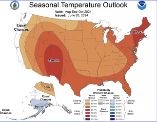
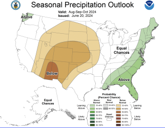
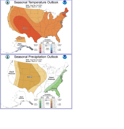
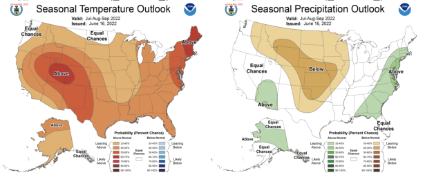
I posted climate map from this year (March 21, 2024). Temp and precip patterns look similar to the June 20, 2024 map so just saying they got the general trend right 3 months ago.
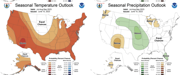
Interesting to see precip outlook from 2023. Had a bunch of 3-4 day storms roll through the Tetons and Winds while I was there late Aug/mid-Sept.

