- Joined
- May 5, 2012
- Messages
- 1,725
A week after coming off the wind-blown Colorado, I headed south again to share one of my favorite places with family. Over the winter, my sister had tried to arrange a Fiery Furnace tour for mid-April to celebrate the end of her semester in grad school. I'd advised her to steer clear of Arches though, pointing out the fee-free week coinciding with Earth Day would turn Arches into a zoo. Instead, I suggested instead hitting up Capitol Reef.
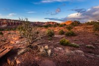
"We'll have a much better experience there. Capitol Reef at its most crowded is like Arches at its least."
At once though I felt an odd sense of pressure. What if it doesn't live up to my hype? What hike can we do to give a group of backcountry novices a challenging yet achievable experience?
The second question was the real tough one. Our group was to include not just myself but also my brother, his girlfriend, three of my sisters, two brother-in-laws, one sister's boyfriend, a whole flock of nieces and nephews as well as my parents.
Experience and capabilities ran the gamut. Pick an easy hike off the main drag and the adults would feel bored. Choose something adventurous like Halls Creek and we'd risk overdoing it.
The choice seemed clear.
Sulphur Creek.
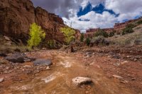
I'd done it before, knew the route and would feel comfortable leading the group through it. Visually, it has the goods. The waterfalls and narrow walls would take the novices in our group well outside their field of experience.
The only other question was, would the weather cooperate?
When I checked the CRNP webcam a day before our planned departure, it didn't look good.
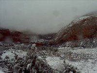
We set lower Calf Creek as a contingency and headed south.
On the morning of our hike, I checked every forecast I could find online. There was a chance for snow but it was slight and scattered. Sulphur Creek was about calf-deep behind the park visitor center. Hydrographs for nearby waterways looked pretty stable, with one exception.
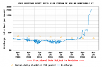
The Dirty Devil had just flashed, but Muddy Creek and the Fremont both looked good.
Rangers at the visitor center told one of my sisters Sulphur Creek was too dangerous to enter, so she, her husband and their kids split off on their own. I wasn't so convinced. While there was a degree of risk, it seemed well within my margin of comfort.
We ran our shuttles and started out down the dry wash.
At the creek's edge, my younger sister and her boyfriend decided to turn back. They'd not prepared for a walk in the watercourse.
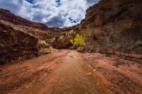
Thick clouds swirled overhead, at times obscuring the sun.
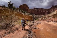
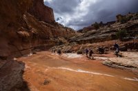
Still, weather remained dry. We even had patches of beautiful blue sky.
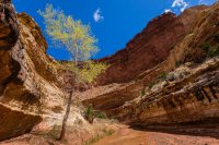
Then, not so blue skies.
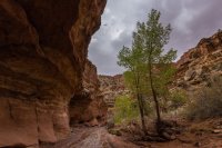
At the first waterfall I advised the group we would need to keep moving and not dawdle in the narrows.
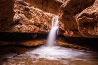
This was the crux of the canyon and the one area we would not want to get stuck if the weather turned south.
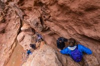
No sooner had we dropped the first falls than a blast of hail hit us. I laughed at the bad luck.
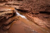
Thankfully, the skies opened again before too long.
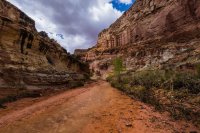
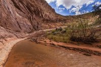
Shafts of sunlight traced across the canyon floor, lighting up the cottonwoods.
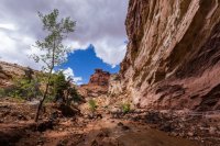
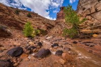
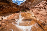
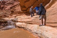
None of the obstacles in Sulphur Creek are technical, but the scrambles pushed the limits of some in the group. I never in my life thought I'd see my mom tackling a down climb around a waterfall. It was awesome to see her do it.
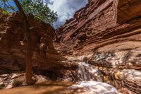
The last time I came through Sulphur Creek, this giant log was wedged tight between the walls of the first waterfall.
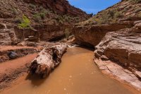
To see it flushed so far downstream reminded me just how dangerous this canyon can be. It would have taken a huge amount of force to dislodge the log and force it through the narrows.
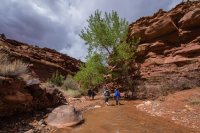
The weather only improved as we proceeded through the final stretches of the canyon.
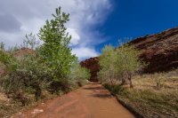
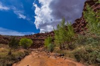
My eye was continually drawn to the strong contrast between green and blue.
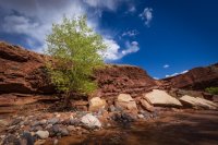
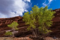
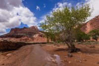
After the hike, we regrouped for lunch, lounged a bit and then headed over to the Goosenecks overlook to get the birdseye view of what we'd just hiked.
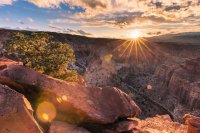
The sun was just sinking over the horizon.
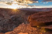
Behind us, the long light lit up the landscape beautifully.
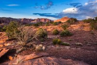
To the north, dramatic clouds were racing across Cathedral Valley.
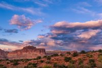
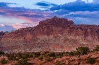
Day's end.
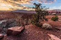
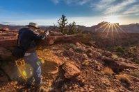
The next morning, my brother-in-law and I rolled out of bed early to catch the sunrise.
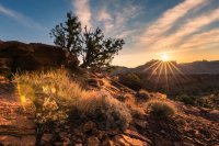
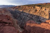
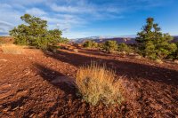
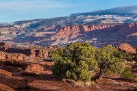
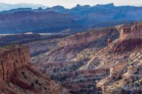
We returned to the rim of Sulphur Creek and spent about an hour chatting about photography and enjoying the light.
He, his family and my parents planned to head east to Goblin Valley for the day. The rest of us intended to hit Calf Creek.
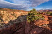
A huge cloud front like a wave was pushing up from the south, leaving me concerned about the potential for bad weather.
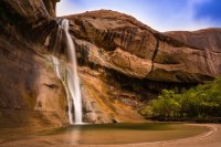
Undeterred, we headed for the falls. None of the rest had been there before, so it was another opportunity to share.
Our luck at last ran out when a steady, cold rain hit us about halfway back to the car.
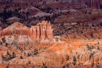
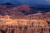
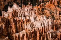
After lunch at Escalante Outfitters, I suggested we swing by Bryce Canyon. Several of the group had not been there either, or at least not as adults. My interagency pass meant it would cost us nothing to make a quick detour there on the way back to I-15.
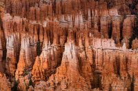
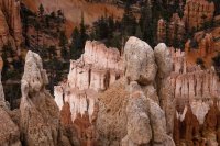
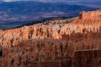
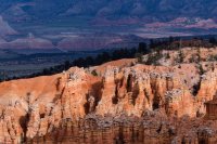
We didn't stay long, as the weather was highly unfavorable.
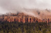
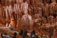
The spotty light made for some pretty photos though.

"We'll have a much better experience there. Capitol Reef at its most crowded is like Arches at its least."
At once though I felt an odd sense of pressure. What if it doesn't live up to my hype? What hike can we do to give a group of backcountry novices a challenging yet achievable experience?
The second question was the real tough one. Our group was to include not just myself but also my brother, his girlfriend, three of my sisters, two brother-in-laws, one sister's boyfriend, a whole flock of nieces and nephews as well as my parents.
Experience and capabilities ran the gamut. Pick an easy hike off the main drag and the adults would feel bored. Choose something adventurous like Halls Creek and we'd risk overdoing it.
The choice seemed clear.
Sulphur Creek.

I'd done it before, knew the route and would feel comfortable leading the group through it. Visually, it has the goods. The waterfalls and narrow walls would take the novices in our group well outside their field of experience.
The only other question was, would the weather cooperate?
When I checked the CRNP webcam a day before our planned departure, it didn't look good.

We set lower Calf Creek as a contingency and headed south.
On the morning of our hike, I checked every forecast I could find online. There was a chance for snow but it was slight and scattered. Sulphur Creek was about calf-deep behind the park visitor center. Hydrographs for nearby waterways looked pretty stable, with one exception.

The Dirty Devil had just flashed, but Muddy Creek and the Fremont both looked good.
Rangers at the visitor center told one of my sisters Sulphur Creek was too dangerous to enter, so she, her husband and their kids split off on their own. I wasn't so convinced. While there was a degree of risk, it seemed well within my margin of comfort.
We ran our shuttles and started out down the dry wash.
At the creek's edge, my younger sister and her boyfriend decided to turn back. They'd not prepared for a walk in the watercourse.

Thick clouds swirled overhead, at times obscuring the sun.


Still, weather remained dry. We even had patches of beautiful blue sky.

Then, not so blue skies.

At the first waterfall I advised the group we would need to keep moving and not dawdle in the narrows.

This was the crux of the canyon and the one area we would not want to get stuck if the weather turned south.

No sooner had we dropped the first falls than a blast of hail hit us. I laughed at the bad luck.

Thankfully, the skies opened again before too long.


Shafts of sunlight traced across the canyon floor, lighting up the cottonwoods.


None of the obstacles in Sulphur Creek are technical, but the scrambles pushed the limits of some in the group. I never in my life thought I'd see my mom tackling a down climb around a waterfall. It was awesome to see her do it.


The last time I came through Sulphur Creek, this giant log was wedged tight between the walls of the first waterfall.

To see it flushed so far downstream reminded me just how dangerous this canyon can be. It would have taken a huge amount of force to dislodge the log and force it through the narrows.

The weather only improved as we proceeded through the final stretches of the canyon.


My eye was continually drawn to the strong contrast between green and blue.


After the hike, we regrouped for lunch, lounged a bit and then headed over to the Goosenecks overlook to get the birdseye view of what we'd just hiked.

The sun was just sinking over the horizon.

Behind us, the long light lit up the landscape beautifully.

To the north, dramatic clouds were racing across Cathedral Valley.


Day's end.

The next morning, my brother-in-law and I rolled out of bed early to catch the sunrise.

We returned to the rim of Sulphur Creek and spent about an hour chatting about photography and enjoying the light.


He, his family and my parents planned to head east to Goblin Valley for the day. The rest of us intended to hit Calf Creek.
A huge cloud front like a wave was pushing up from the south, leaving me concerned about the potential for bad weather.

Undeterred, we headed for the falls. None of the rest had been there before, so it was another opportunity to share.

Our luck at last ran out when a steady, cold rain hit us about halfway back to the car.
After lunch at Escalante Outfitters, I suggested we swing by Bryce Canyon. Several of the group had not been there either, or at least not as adults. My interagency pass meant it would cost us nothing to make a quick detour there on the way back to I-15.


We didn't stay long, as the weather was highly unfavorable.

The spotty light made for some pretty photos though.


Last edited:
