- Joined
- Jul 23, 2013
- Messages
- 1,655
Two years ago I joined a BCP group that led me up to what immediately became one of my favorite parts of the Wasatch: Lake Hardy, South Thunder Mountain and the surrounding terrain. I had an itch to revisit it again this year and recruited a few people to join along in retracing much of the same route as before. A couple of them had to bail leaving it to just a neighbor friend and myself. For the second week in a row, I'd get to spend a night in the beautiful Lone Peak Wilderness area.
Friday - July 15, 2016
As usual, due to work and some last second packing, we got started late. Again, this would be to our advantage, enabling us to hike in cooler temperatures. We had 4000 feet to gain in 4 miles to reach the meadow we wanted to camp in. Doing that in the heat of the afternoon would be nothing short of miserable.
We started off at the Schoolhouse Springs trailhead at about 6:30 pm where a few other cars were parked. A couple guys were gearing up to hike up to the 2nd Hamangog for the the night where they'd then move on to gear up for a climb of Lone Peak. James and I would be taking the opposite way out of the 1st Hamangog, forking off toward East Hamangog then ascending up to the meadows below Lake Hardy. We hit the trail hard and maintained a vigorous pace for two and a half miles until we reached the creek that flows out of Lake Hardy much further up the mountain.
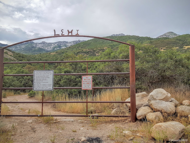
School House Springs Gate
Hamangog is a theme in this area. It is a word with biblical origins and in this area, it can be loosely translated to simply "meadow" or "mountain meadow". There are three such flats or meadows along a trail that runs east and west, the first and central meadow you come to being called First Hamangog. This is also where you officially enter across the Lone Peak Wilderness boundary.

Lone Peak Wilderness Boundary
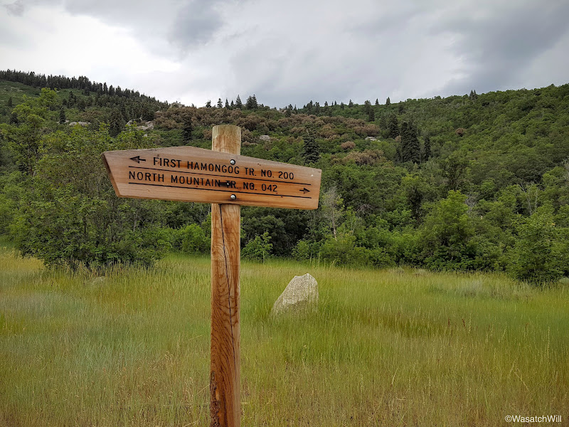
First Hamangog
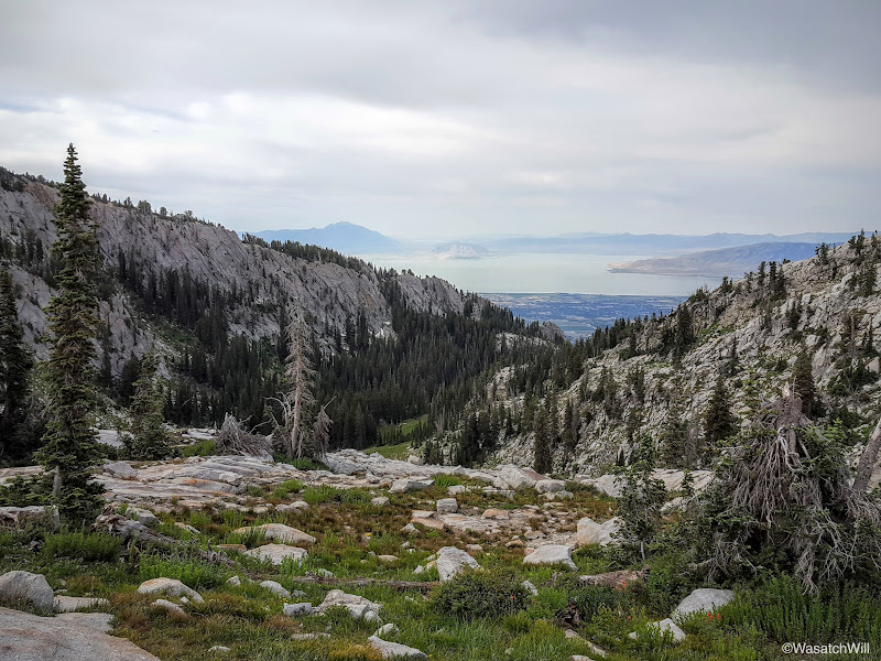
Shortly after leaving the First Hamangog, there was a good view out to where I had camped and hiked the previous week: Community Flat along the saddle and Box Elder Peak up to the right of it.

Community Flat and Box Elder Peak from

James having a look back down at the valley below
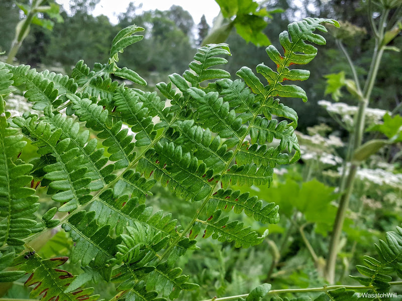
A brief patch of ferns
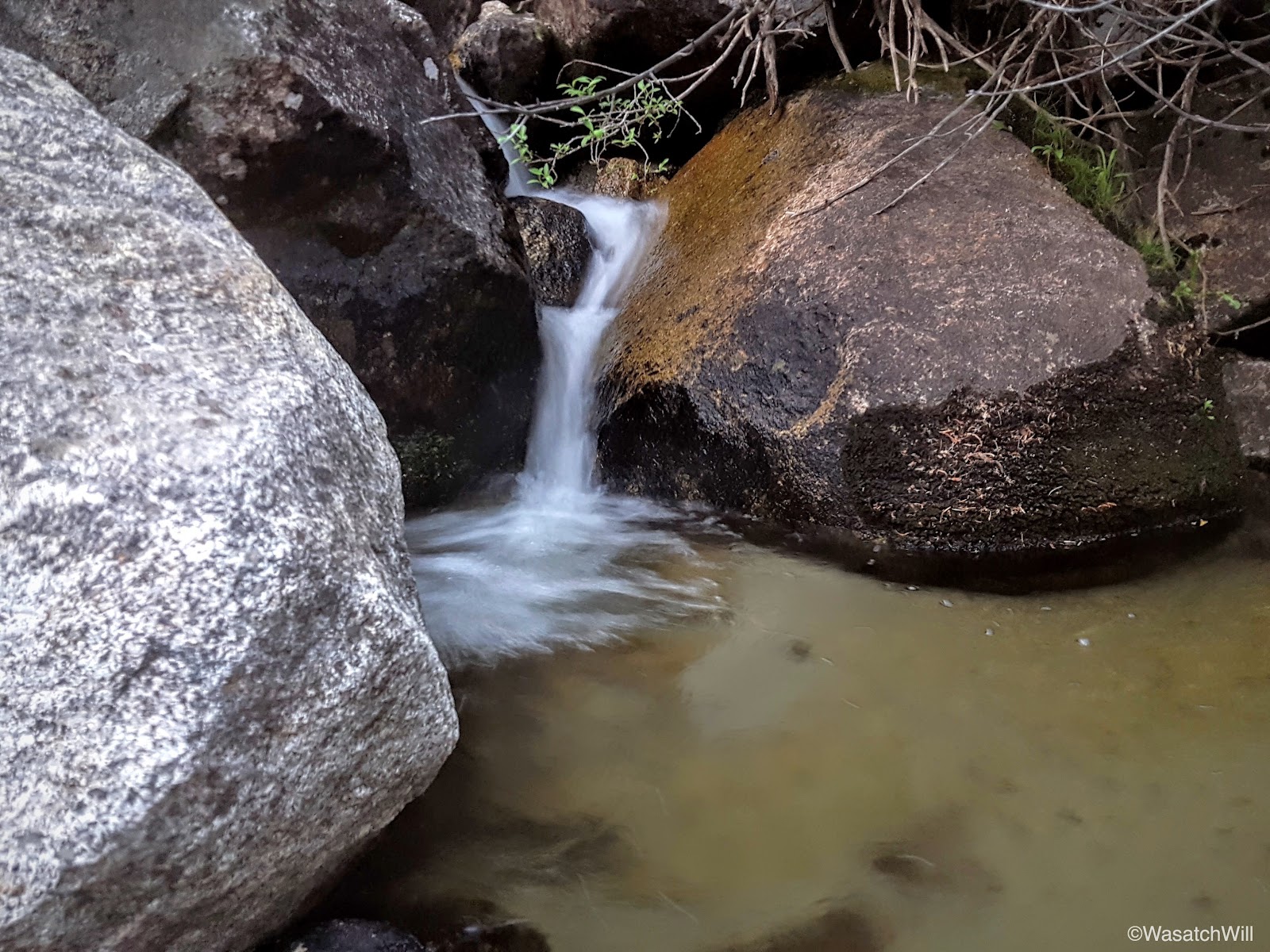
Once at the creek, we took a well-deserved break. The creek served as an oasis where we were able to cool off a bit, have a snack, and just enjoy the little details that gave it some beauty.

The creek
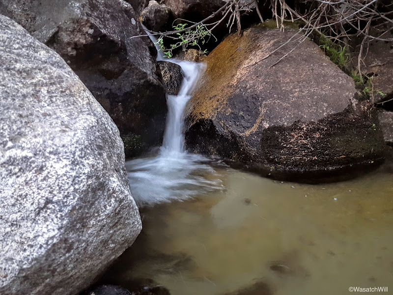
An oasis on the trail
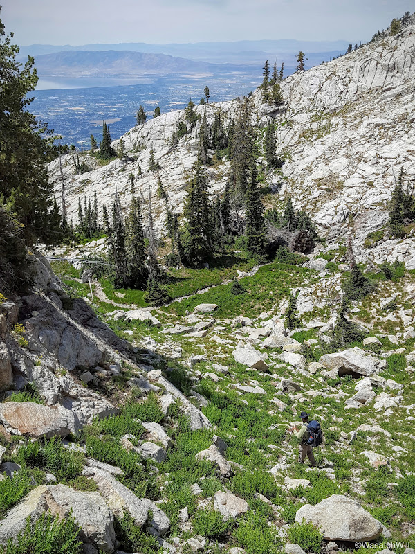
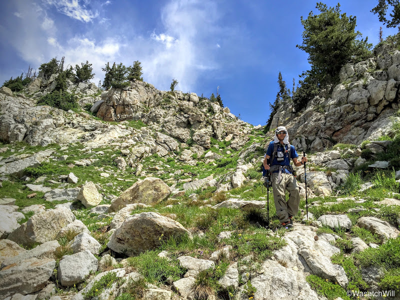
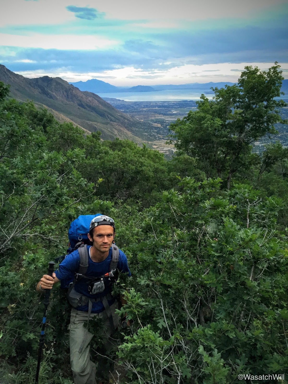
Rested and replenished, we set off for the 2nd leg of the hike, a steep and grueling climb requiring some bushwhacking through some overreaching scrub oak and such, but the views would soon open up and treat us to a real nice sunset.

Bushwhacking (photo by James)
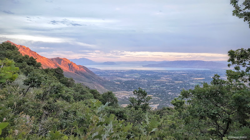
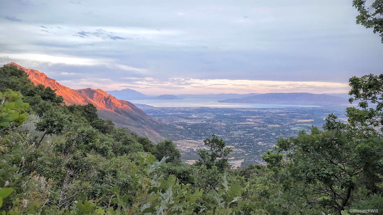
Alpenglow across Box Elder
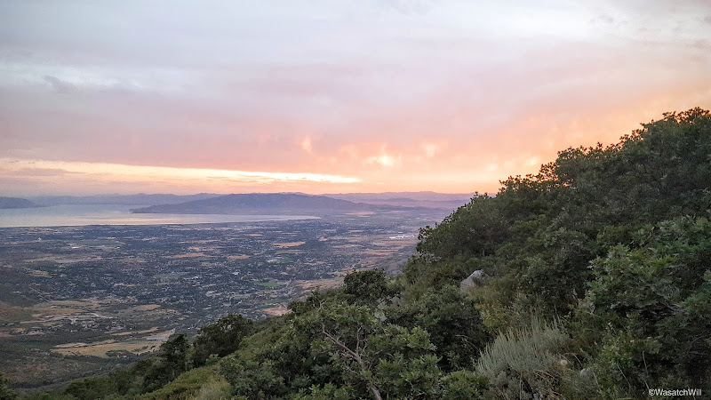
A brewing sunset
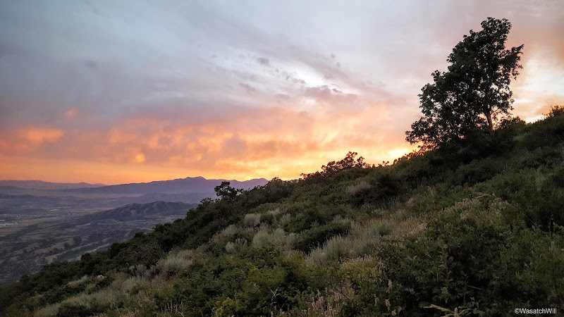
Sunset
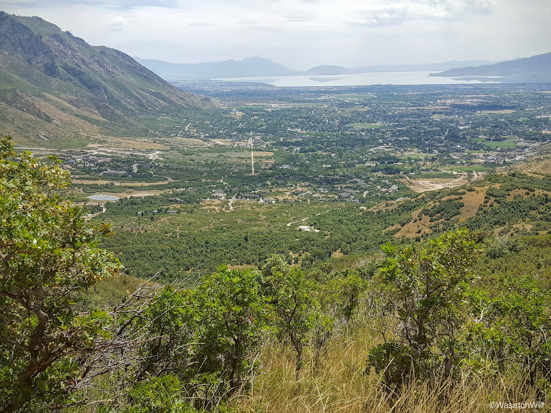
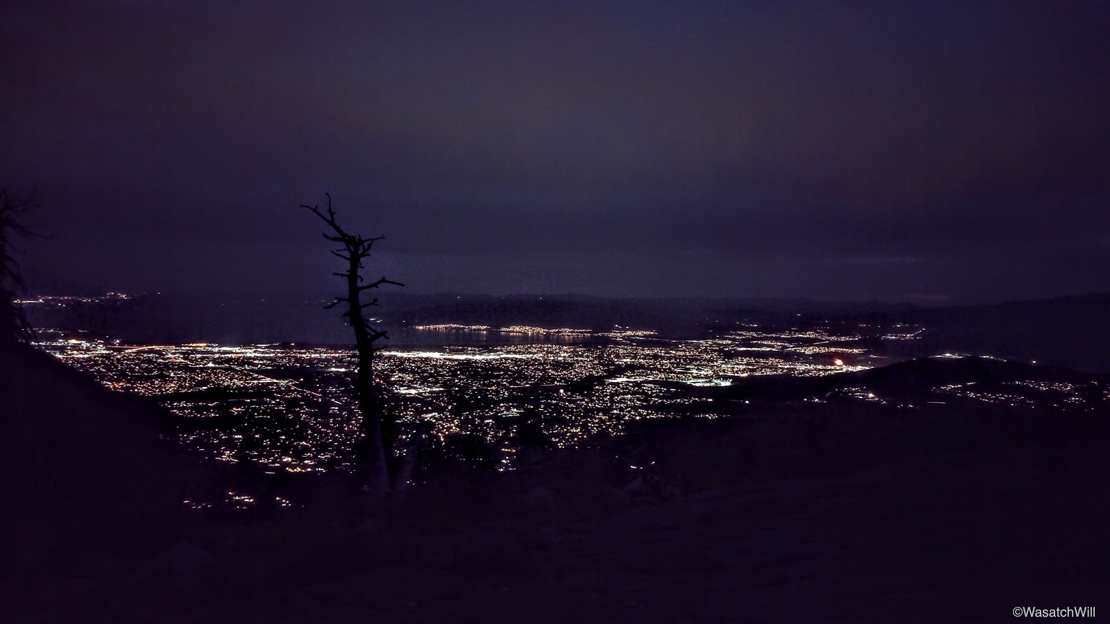
Of course, with the sun now set, it meant little daylight would be left. Based on my experience the first time up, I was excited to do some more night hiking again because it meant we'd have a beautiful view down into the valley with all of its lights.
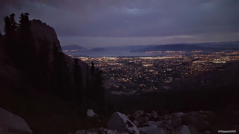
City lights
As we neared the same creek once more, we took another restful break. There was a firework show taking place as we made calls to our wives to wish them goodnight. We'd soon be out of cell coverage for the rest of the night.
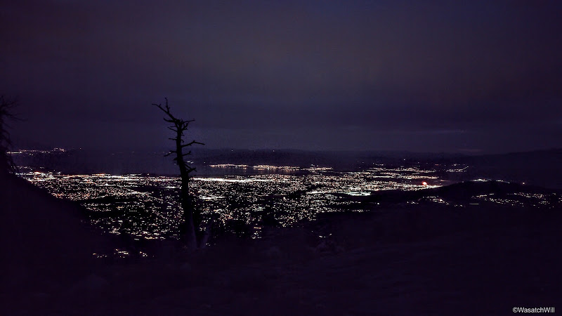
North Utah County
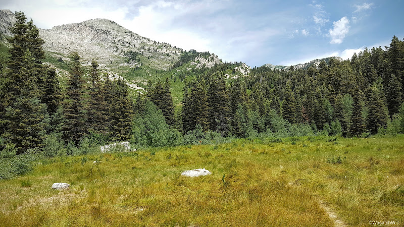
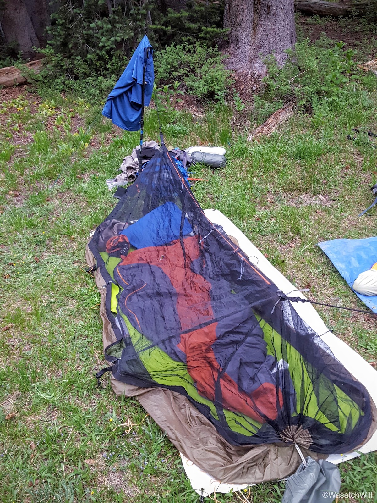
A mile later at around 10:30 pm, we were at our desired destination for the night, the meadow below Lake Hardy. We got a little fire going and proceeded to set up camp. I brought up my hammock and considered setting it up in the same spot I had my last time up, but decided to put it into ground mode as a bug bivy out in the open grass. Little did I know how grateful I'd be for the mosquito protection it ended up providing. We had ourselves some hearty dinners and retired to bed. South Thunder Mountain awaited us in the morning.
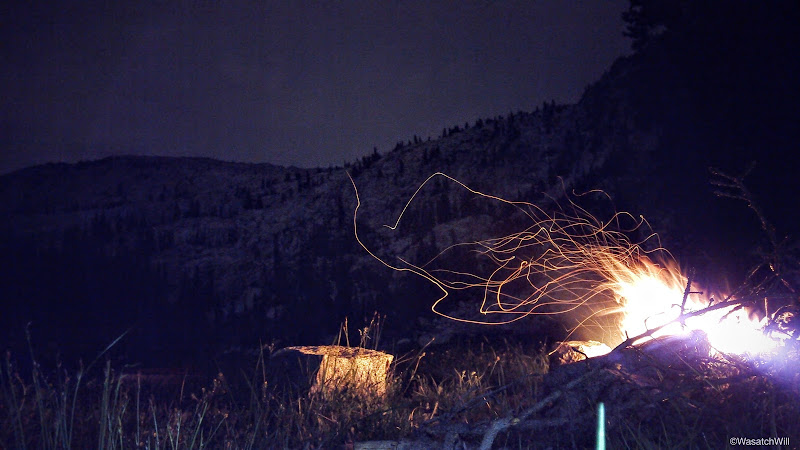
Campfire
Saturday - July 16, 2016
We not only awoke to skies overcast with clouds, but we also awoke to the meadow being seemingly overcast with mosquitos. They were aggressive. While there was safety in my hammock's bug net, it was another story outside of it. Never have I been so grateful for the invention of head nets. It was an essential piece of gear for maintaining sanity when up and out of the bivy sanctuary.
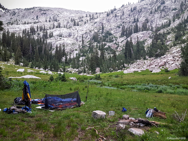
Our camp
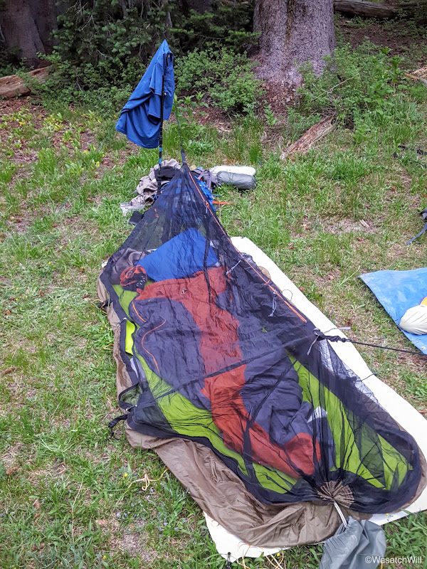
Hammock in ground mode
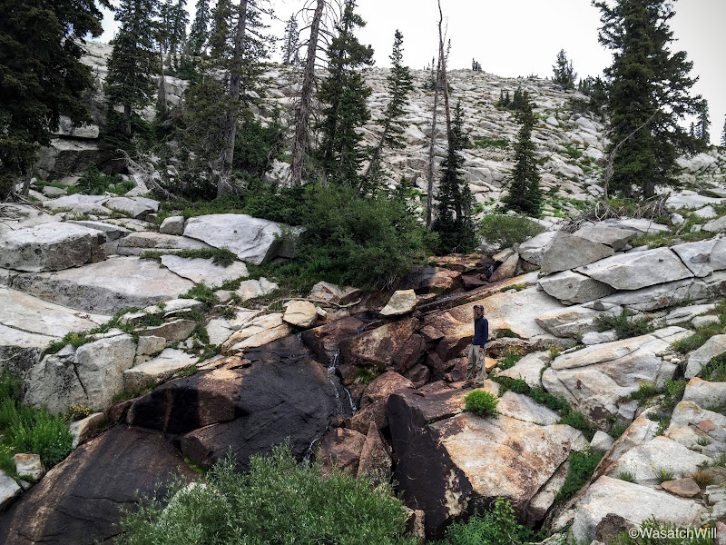
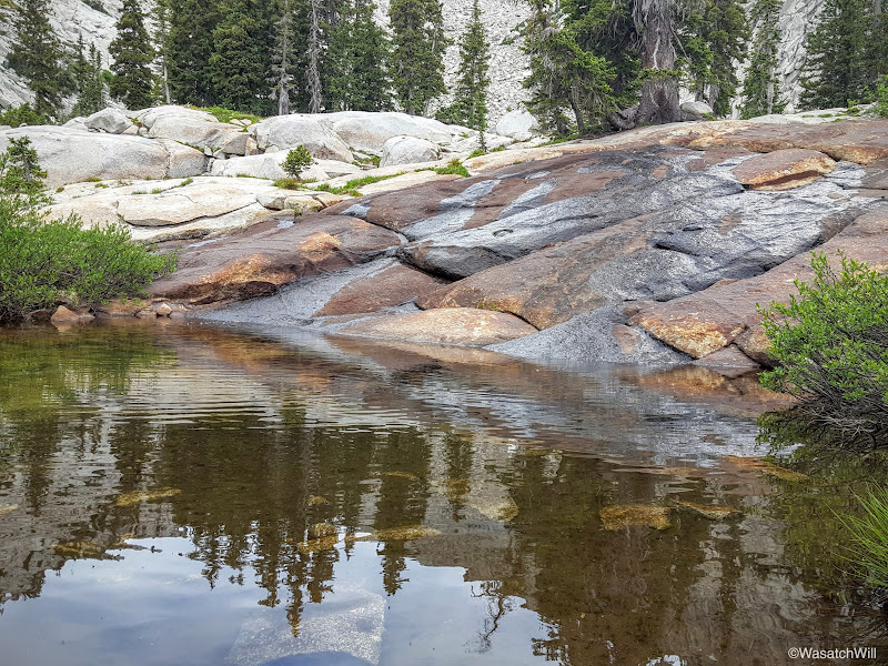
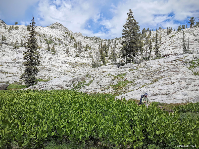
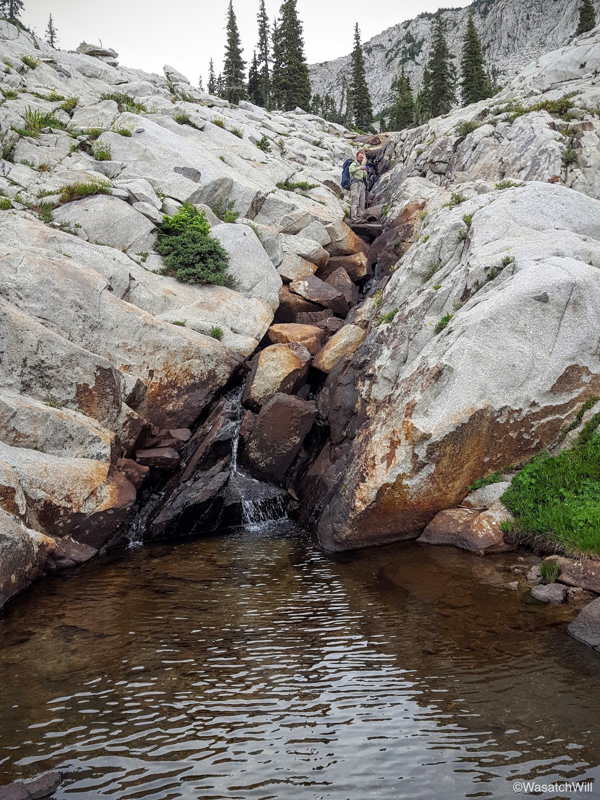
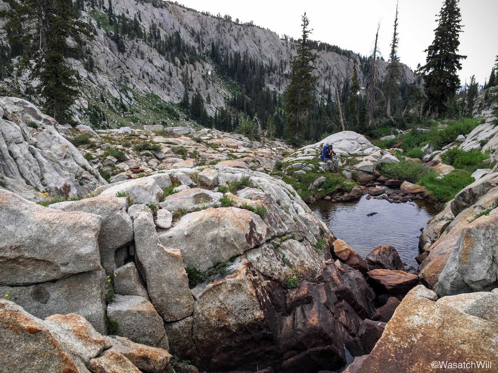
We did not linger long, opting to pack up right away and get moving up toward Lake Hardy above where we'd fuel up with some breakfast before making our way up to the summit of South Thunder Mountain. Along the way, we stopped a handful of times to admire how the stream interacted with the geology it traversed over with little cascades and waterfalls. Lots of other interesting little geologic features abounded as well.
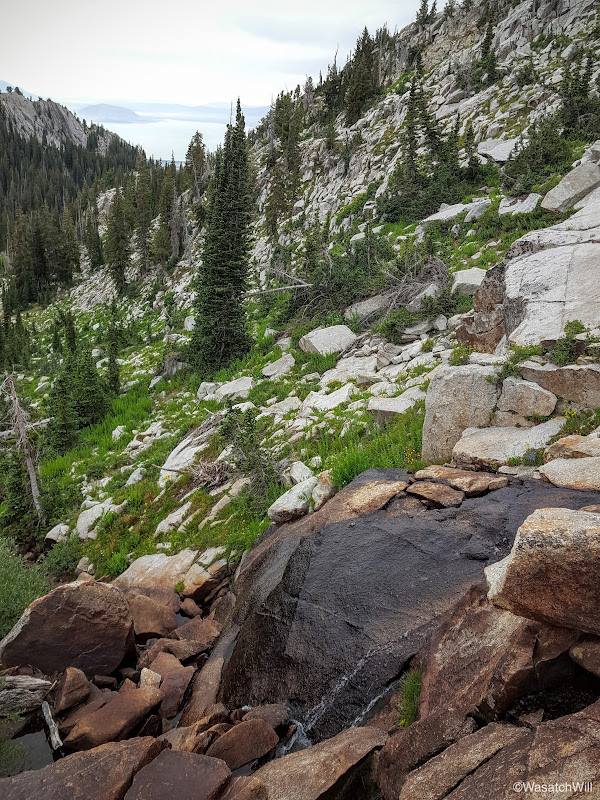
The stream
Just chillin' (Photo by James)
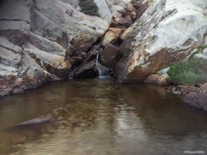
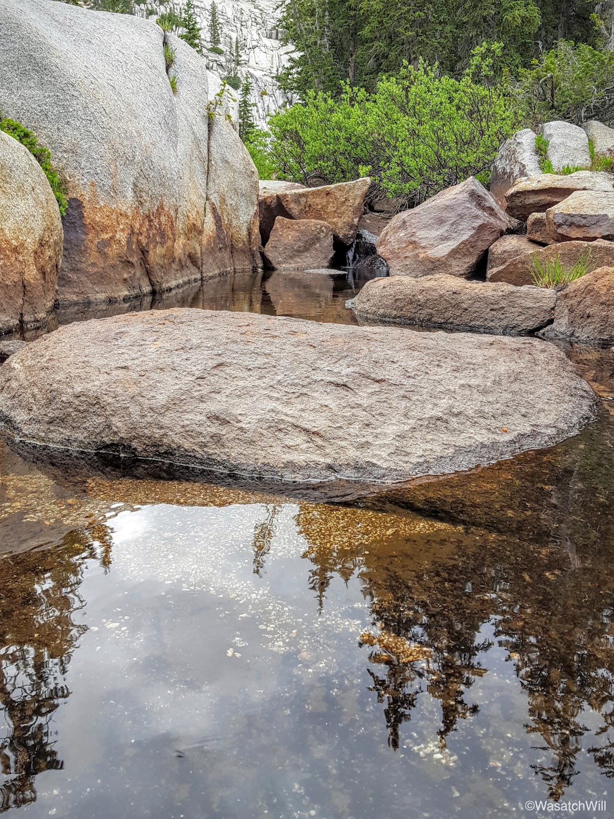
Alpine pool

James checking out the pool from above

And me, doing the same below (photo by James)
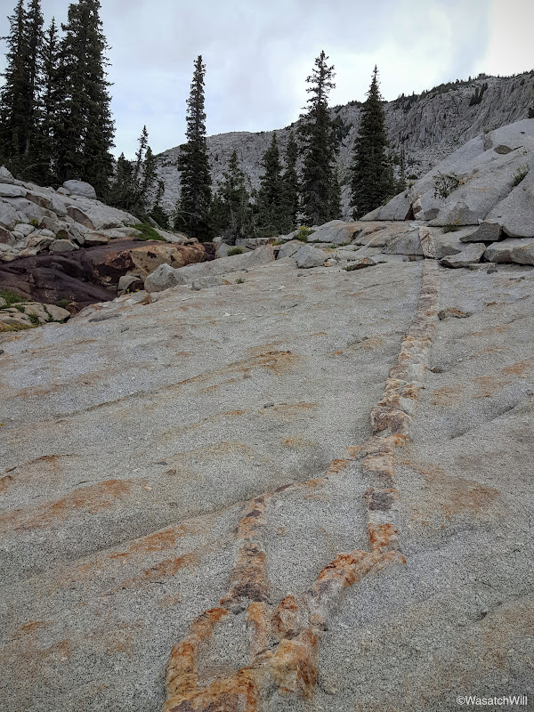
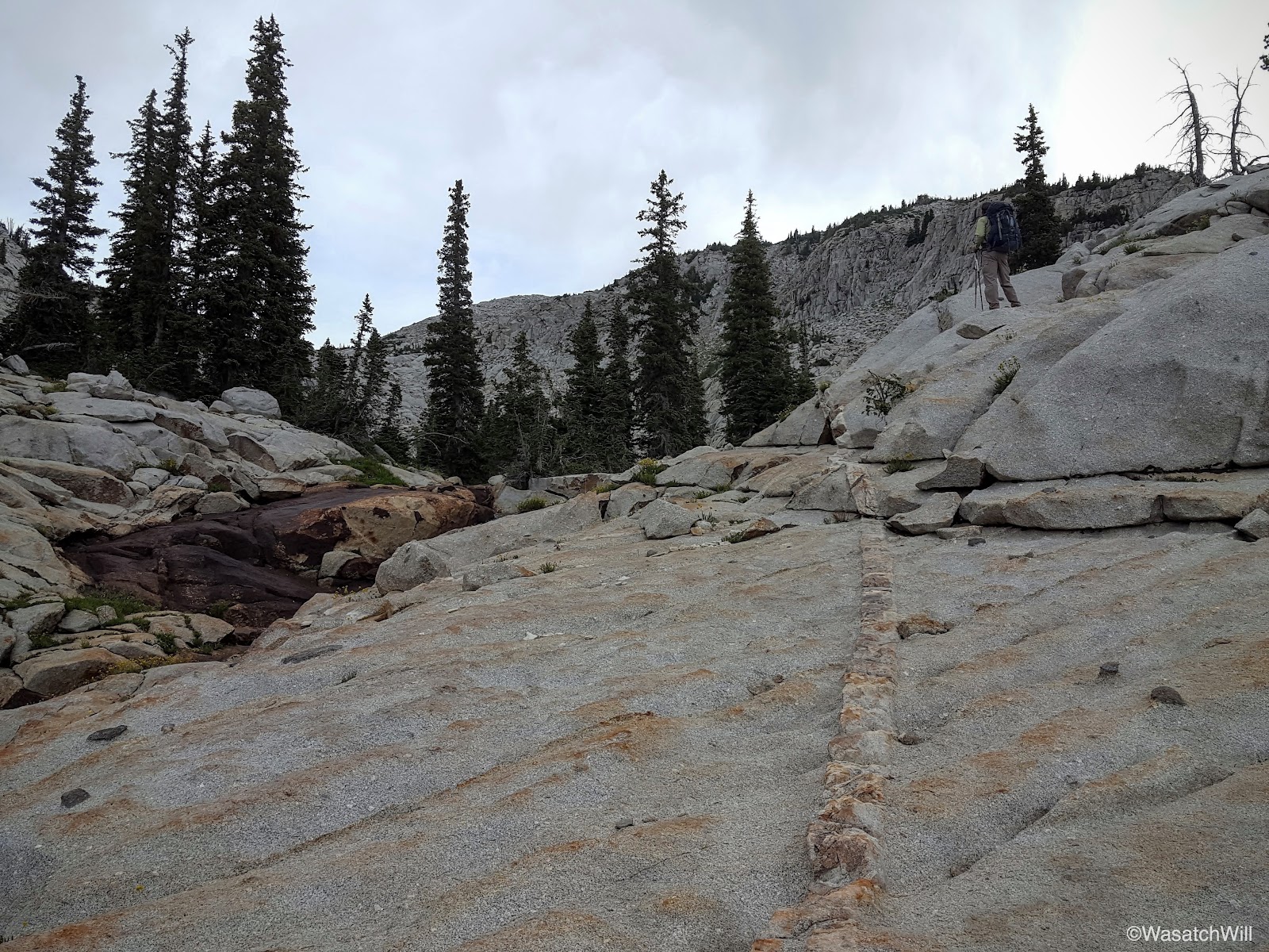
An interesting streak in through the rock
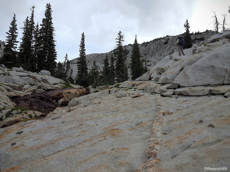
Doesn't feel like the Wasatch anymore

Another micro waterfall
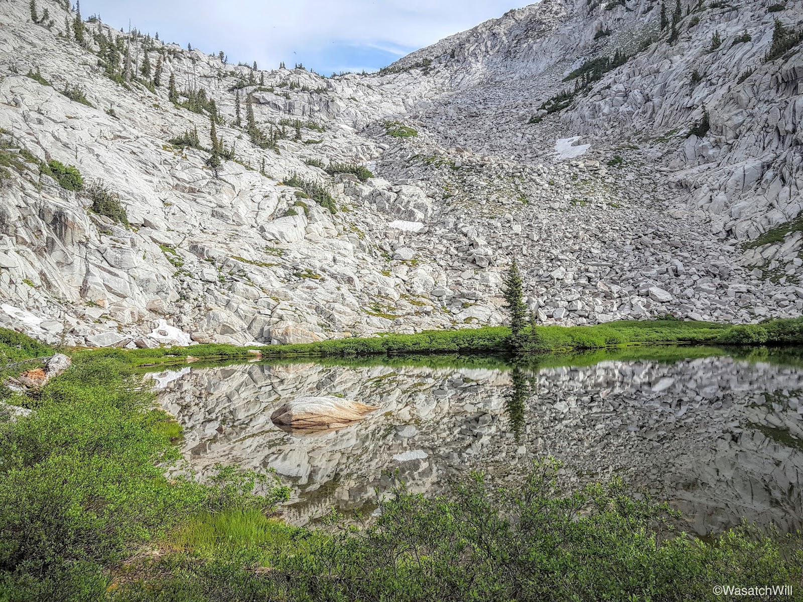
Pool just below Lake Hardy
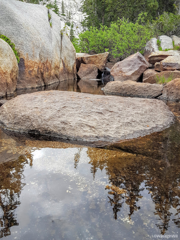
And another little pool near the shore of Lake Hardy
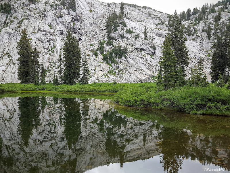
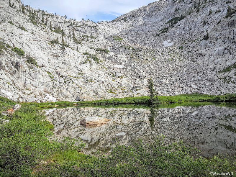
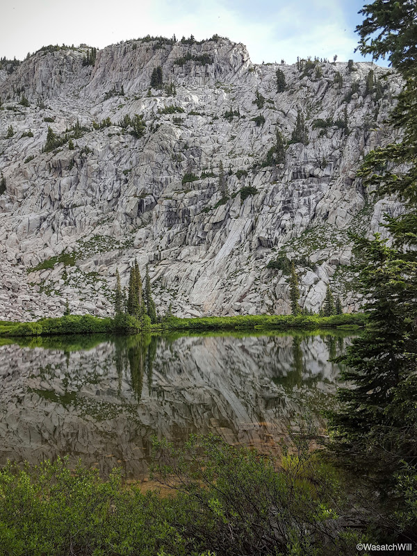
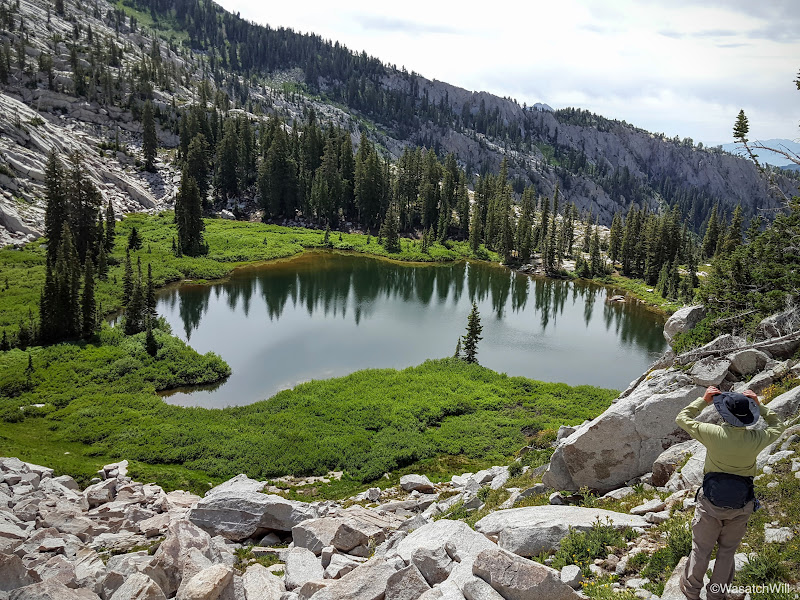
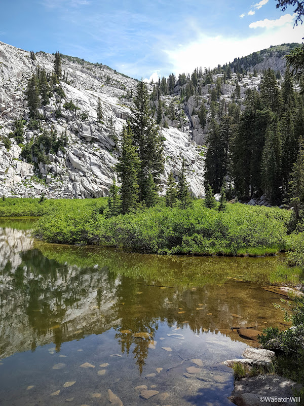
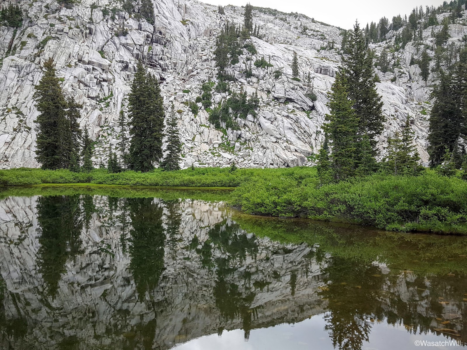
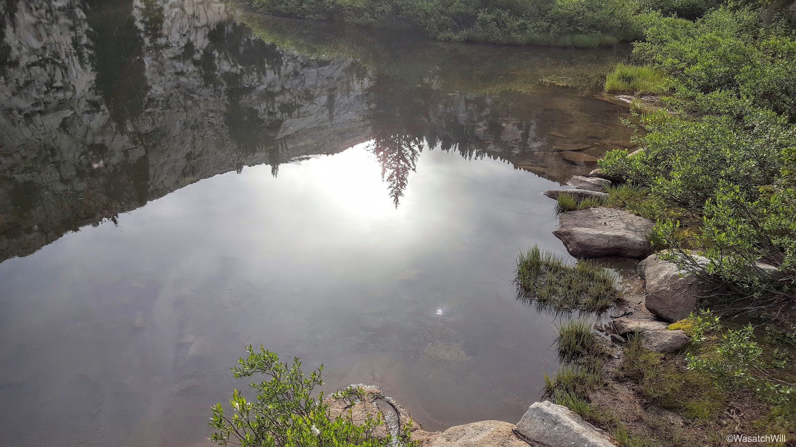
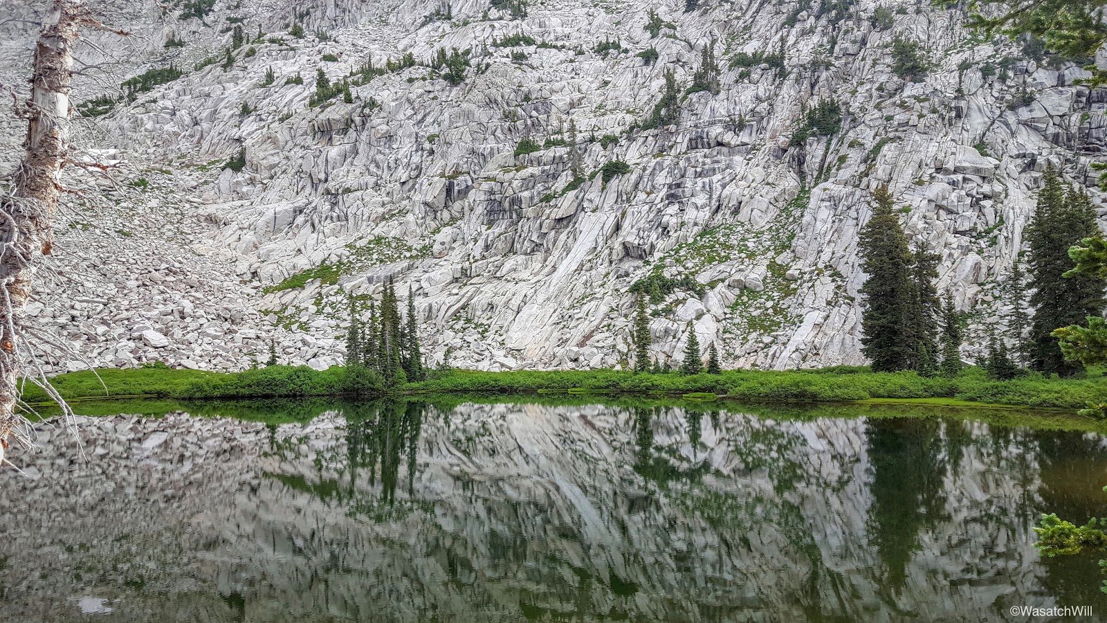
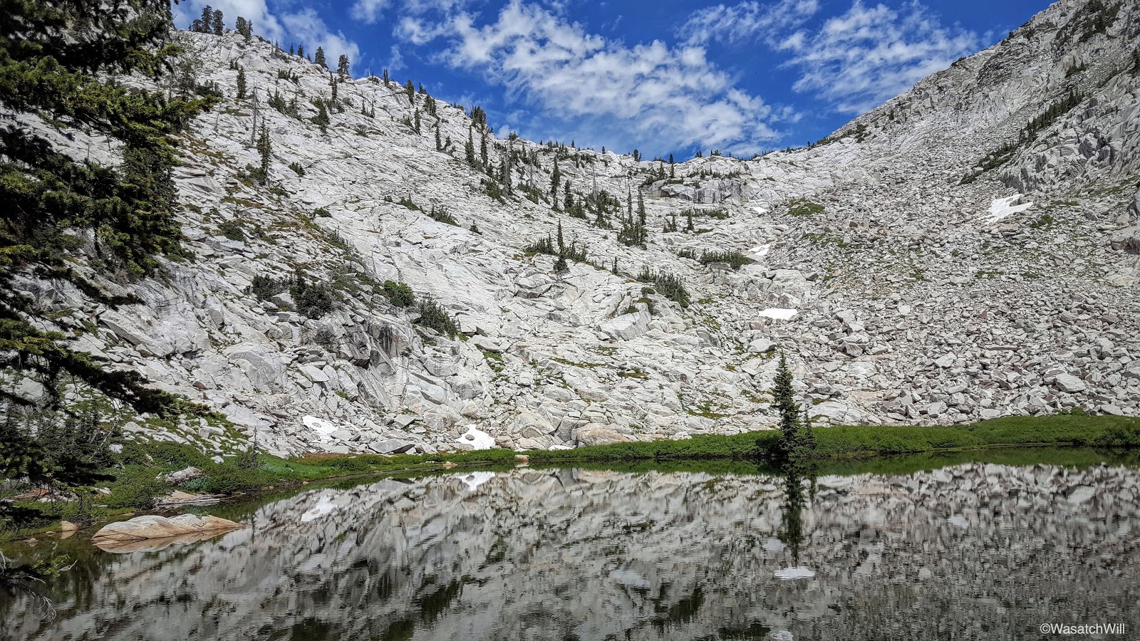
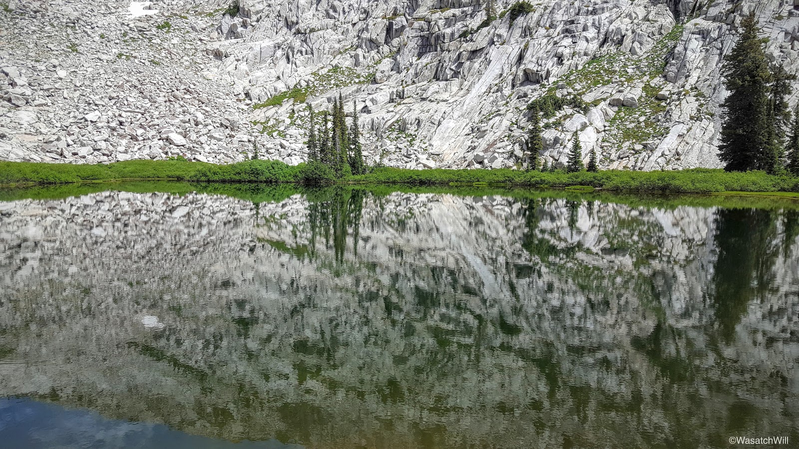
Soon enough, we were standing at the shoreline of Lake Hardy. The skies remained overcast, so there was no blue skies to really make the greenery pop, but it was beautiful and calm nonetheless, offering up some nice reflection shots.
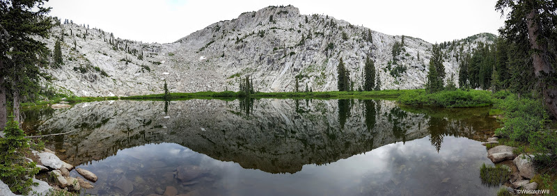
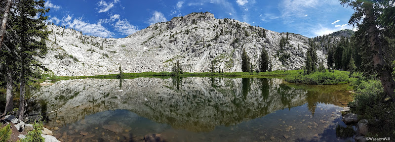
Lake Hardy panorama
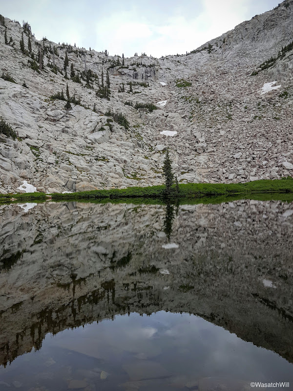
Lonesome tree
Looking across Lake Hardy
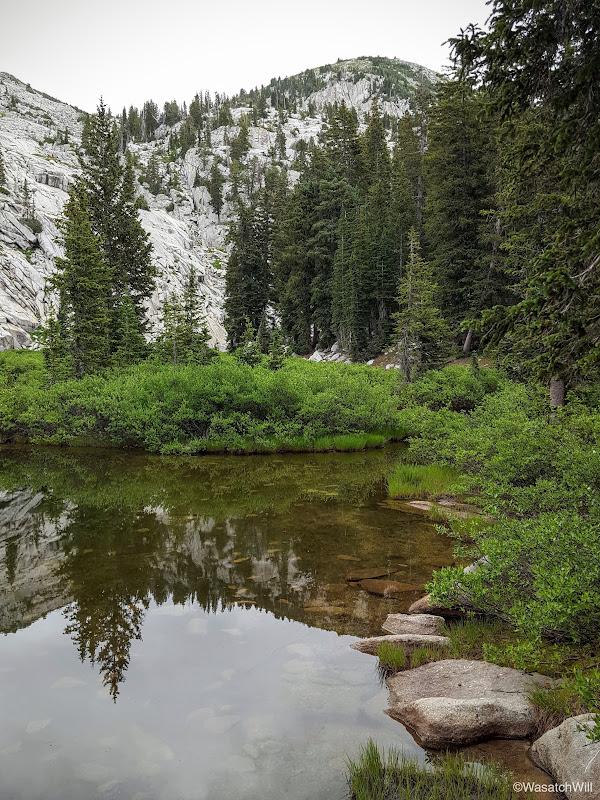
Southern shoreline

A beacon of light
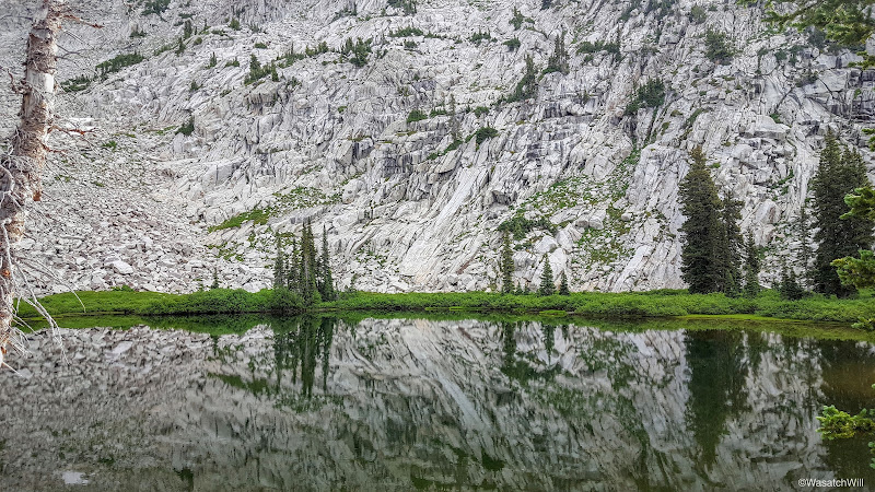
Reflection
More reflection
One more
With full stomachs and some freshly filtered water, we were ready to leave our big packs behind in exchange for our little summit packs and made way for South Thunder Mountain's summit.
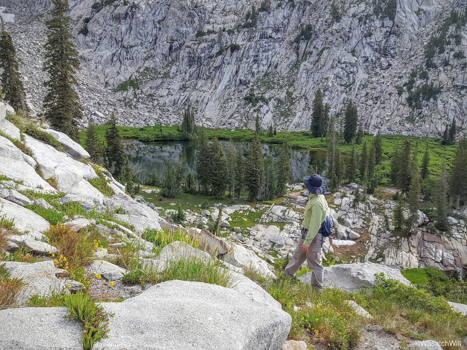
Looking southward from above Lake Hardy
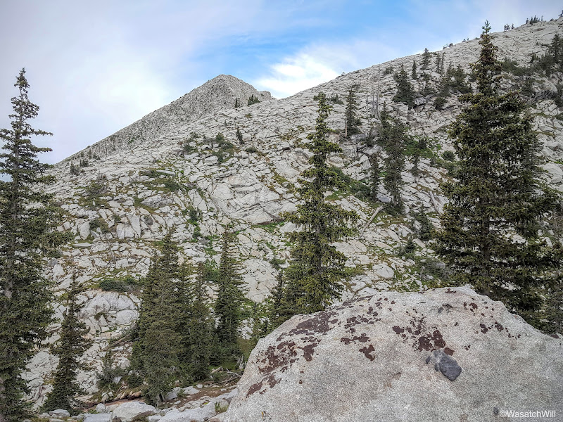
South Thunder Mountain ready and waiting
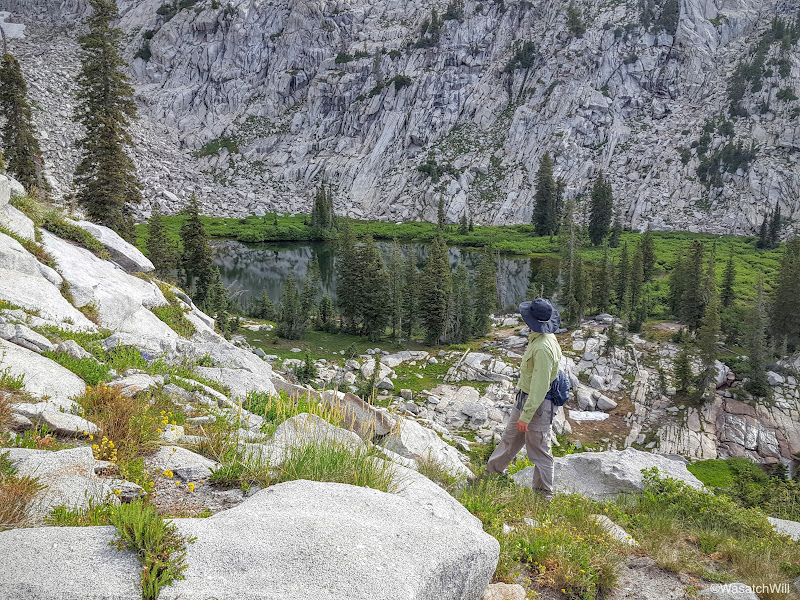
James taking in the view of Lake Hardy below
Getting higher, looking south again. Mt, Timpanogos coming into view on the left.
Even higher. Mount Timpanogos and Box Elder Peak now in full view.
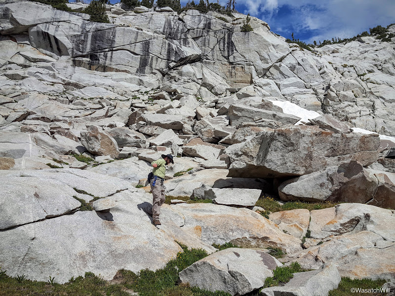
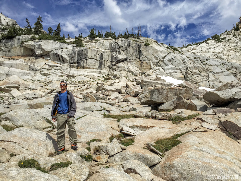
James, camouflaged among the granite
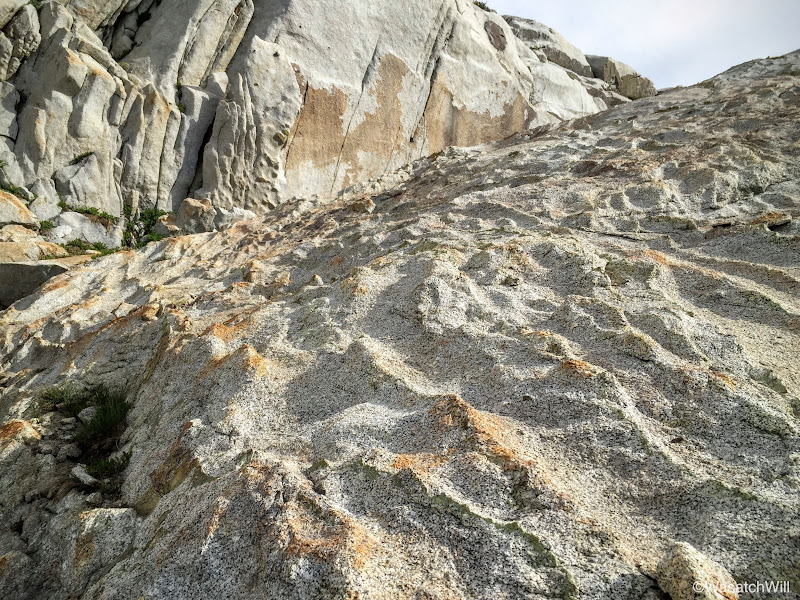
Textures (Photo by James)
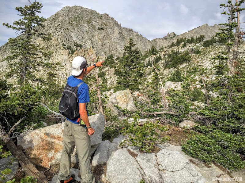
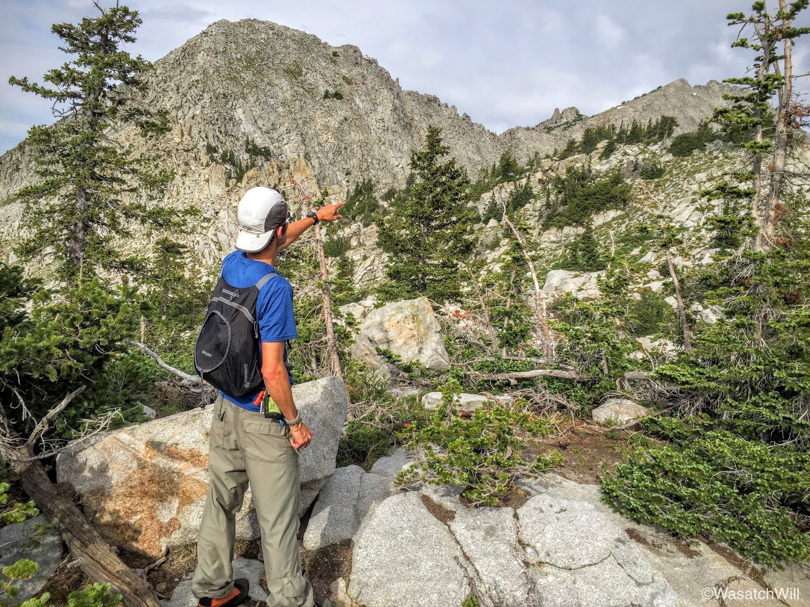
Pointing out some nearby landmarks (Photo by James)

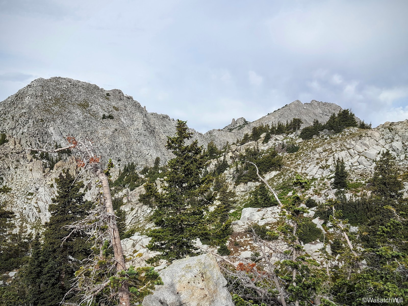
Looking west at Bighorn on the left and Lone Peak on the right
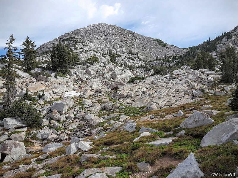
South Thunder Mountain
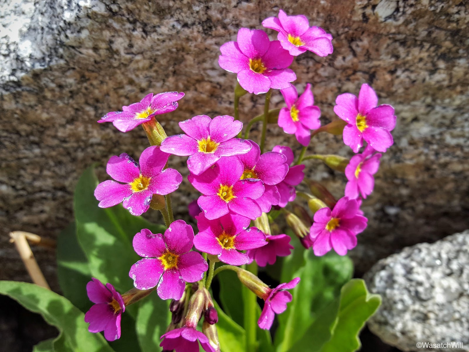
Of course, a summer's trip report of an alpine environment isn't complete without showing off some of the wildflowers along the way.
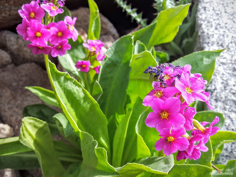
Parry's Primrose
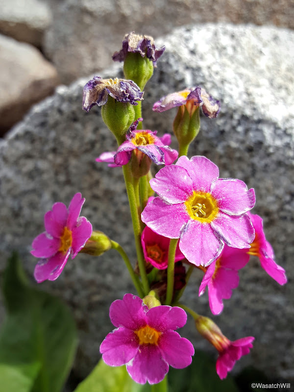
Parry's Primrose

Parry's Primrose

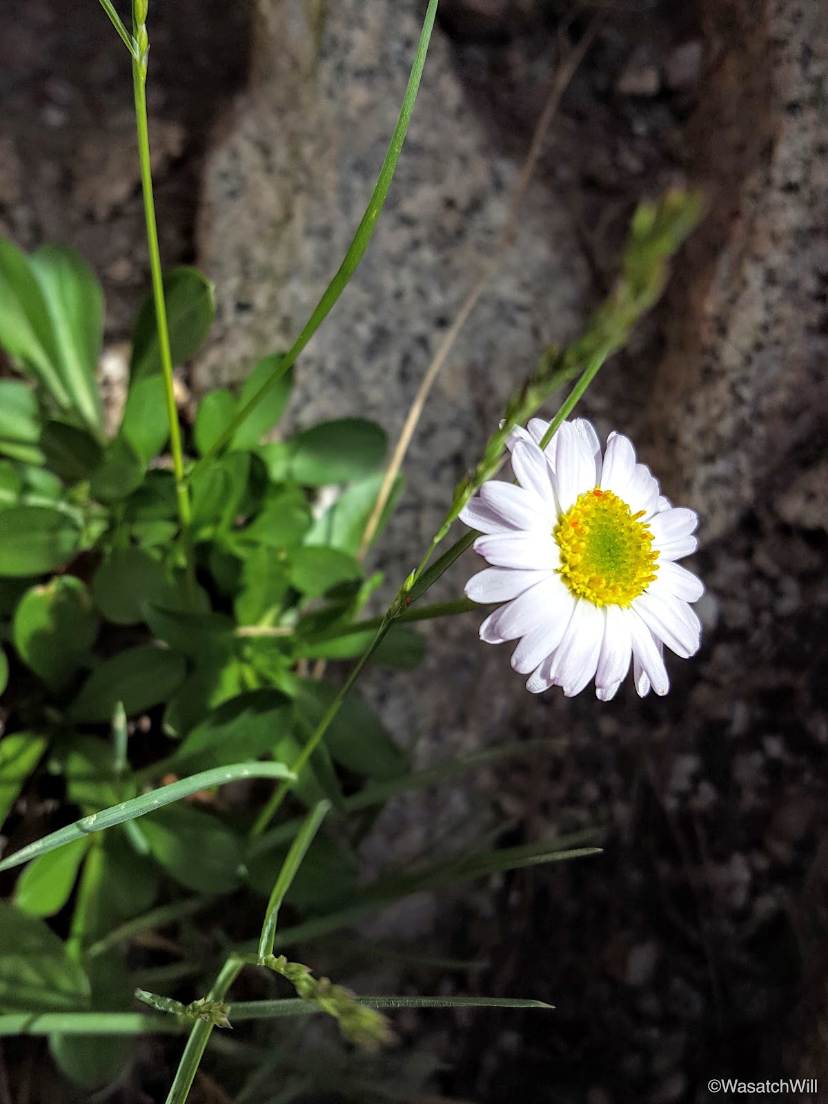
Daisy
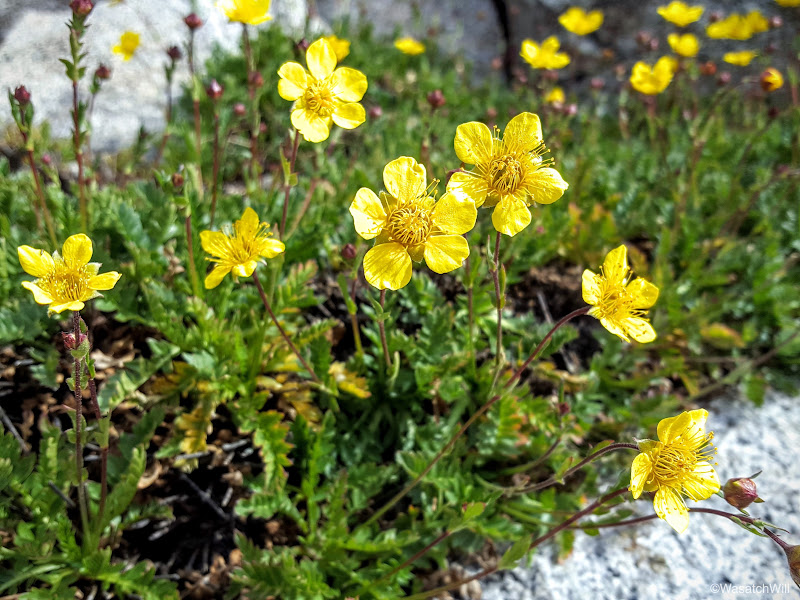
Buttercup
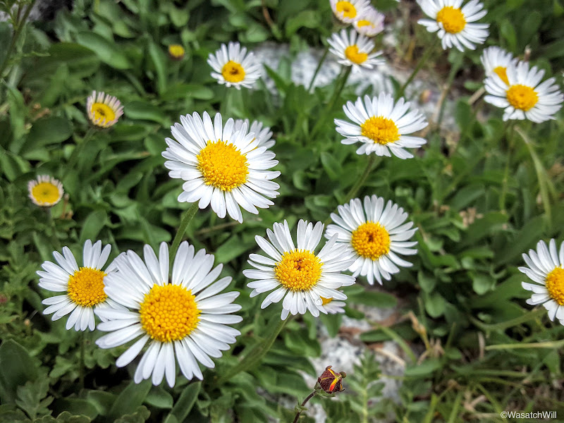
White daisies
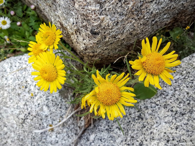
Yellow daisies
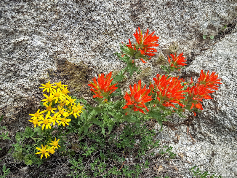
Paintbrush
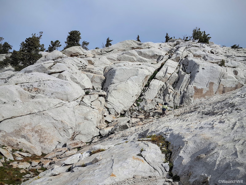
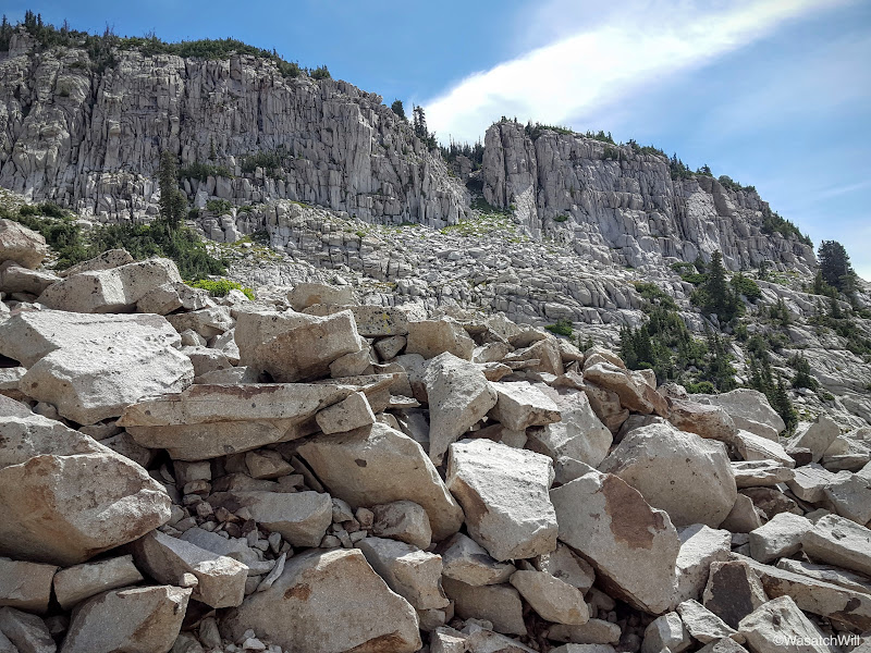
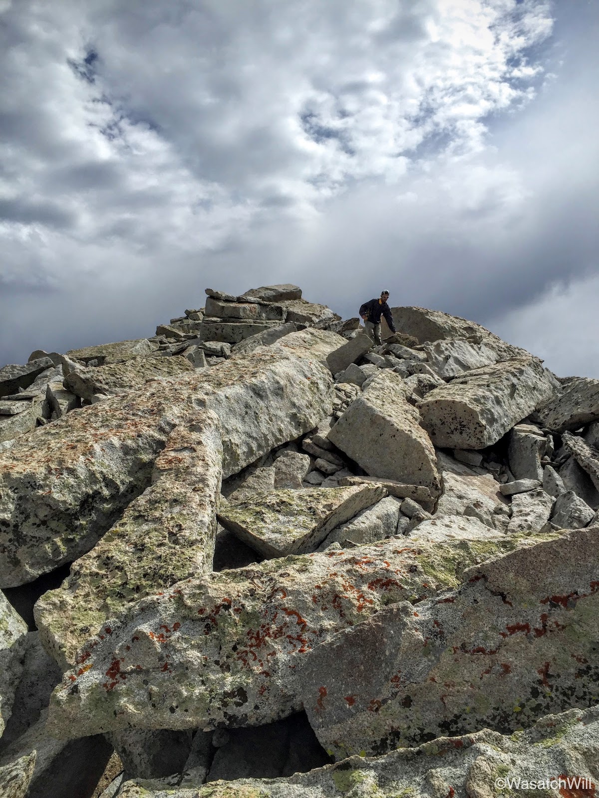
It wasn't long before all patches of vegetation vanished where there was nothing but rocks and boulders to continue pushing through and over as we neared the top.
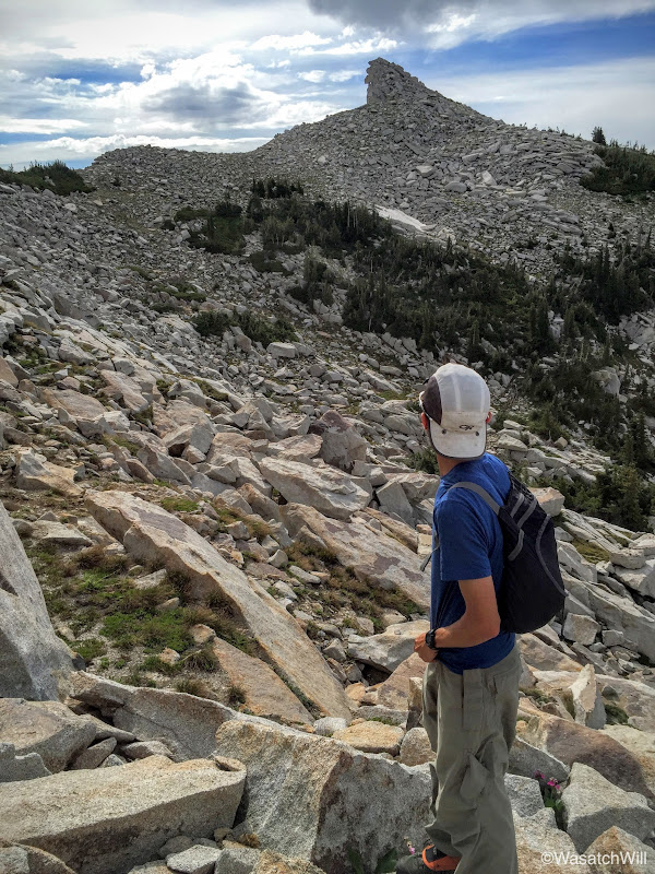
Resisting temptation to detour up another little peak (photo by James)
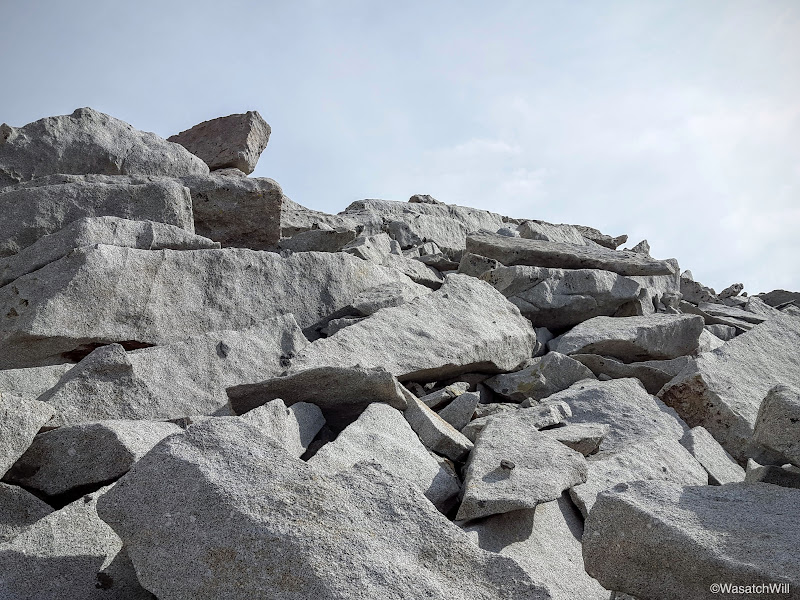
Boulder-hopping
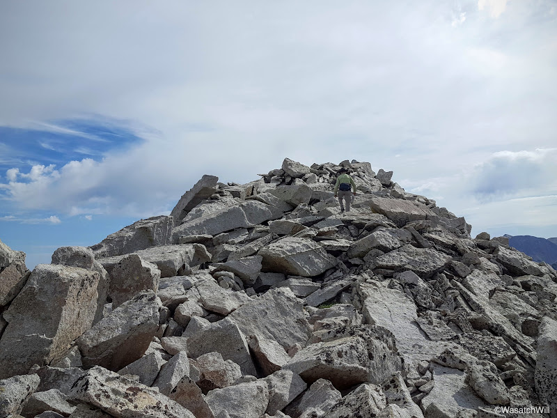
Almost there
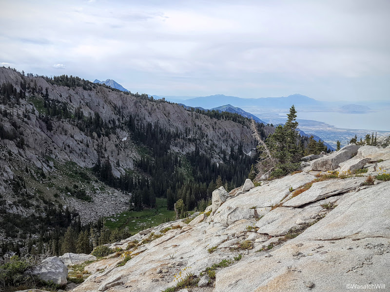
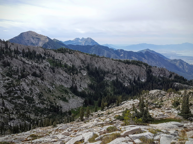
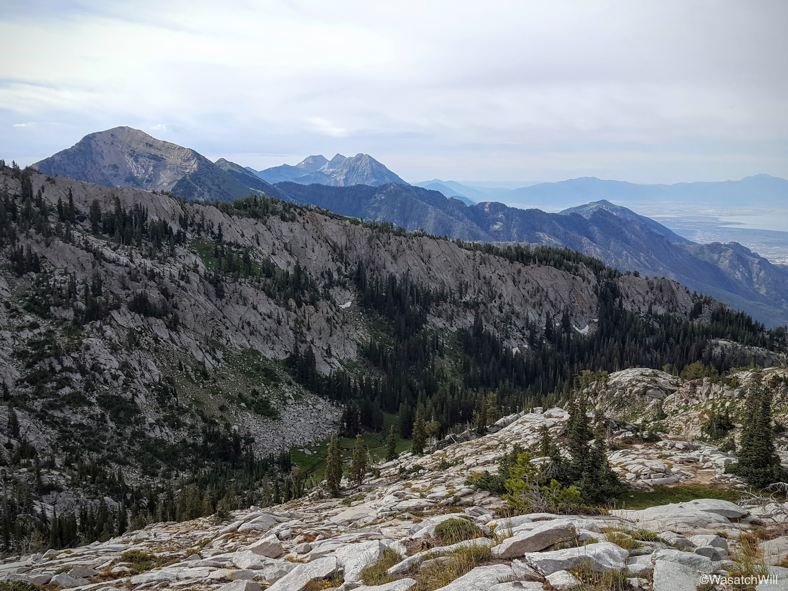
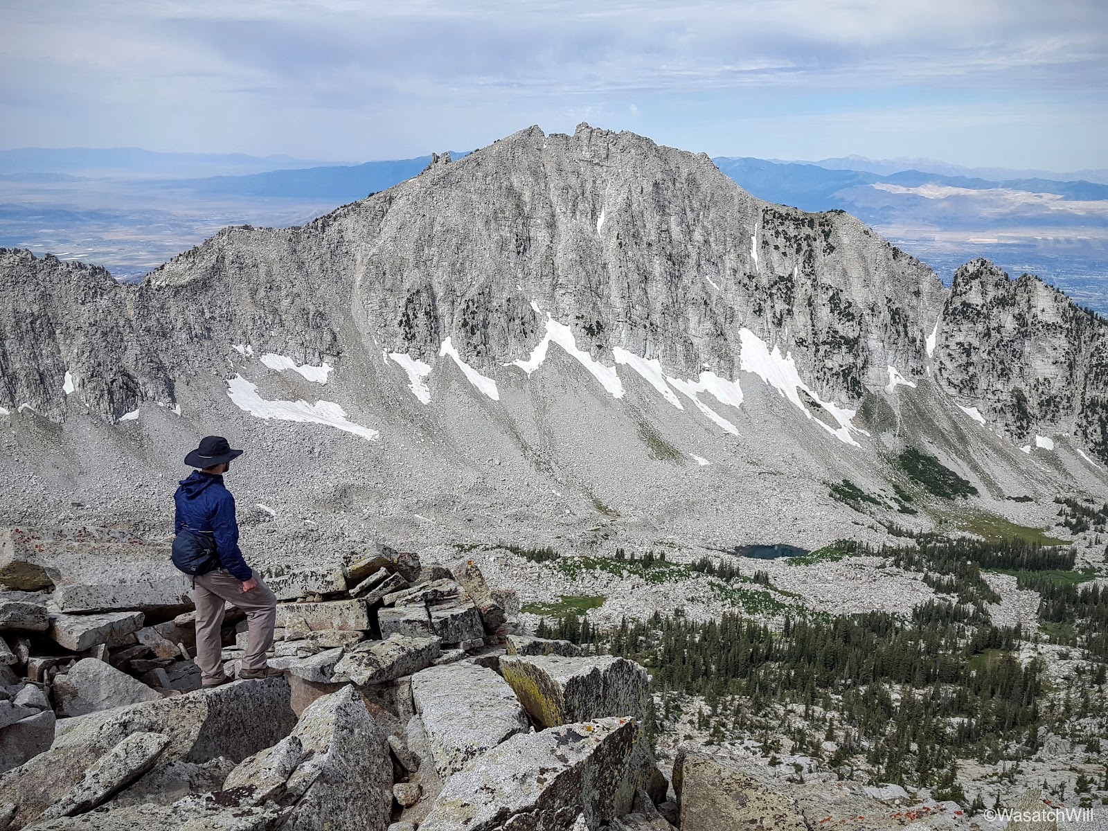
And then finally, we stood upon the summit. This is definitely among my favorite peaks in the Wasatch because of the incredible views you have of other prominent peaks surrounding it, including Lone Peak, the Pfeifferhorn, Mount Timpanogos, and Box Elder Peak among many others. There are also 3 big basins to gaze down upon.
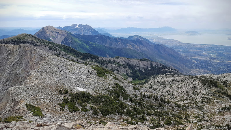
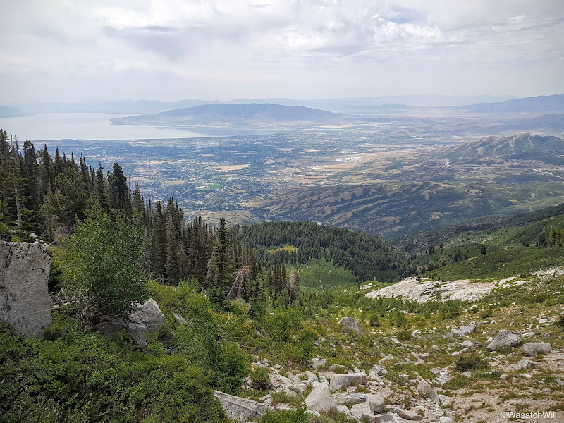
South from South Thunder. Box Elder, Timpanogos, and Utah Valley in view.
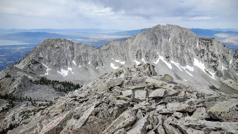
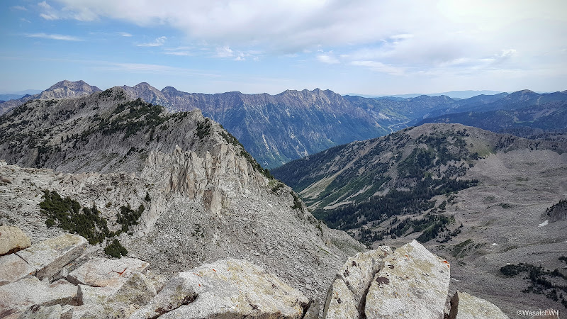
Southwest: Bighorn and Lone Peak
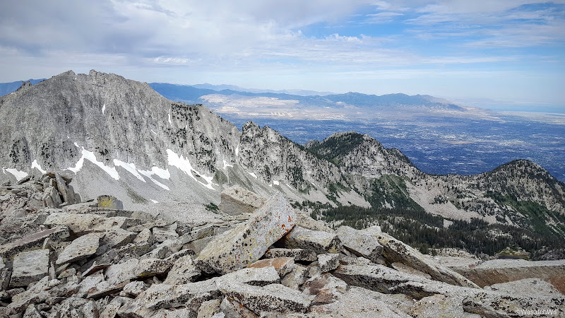
West: Lone Peak, Deseret Peak (far horizon), South Salt Lake, Bingham Copper Mine, Oquirrs
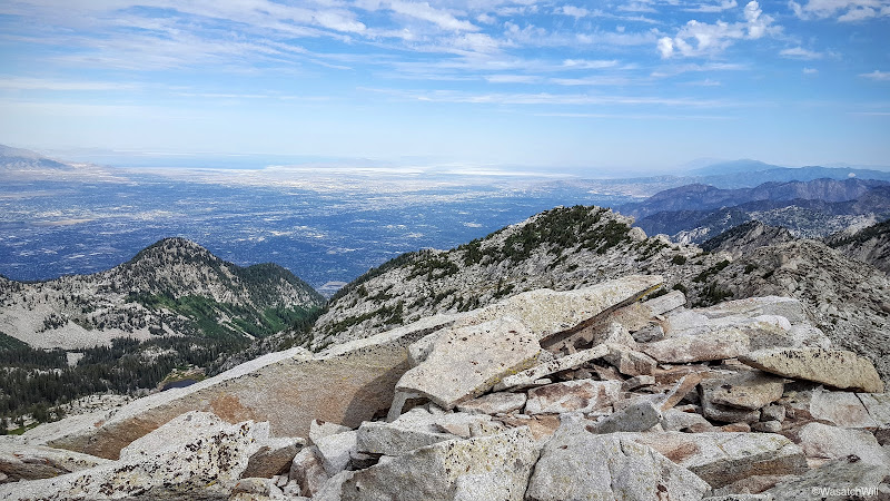
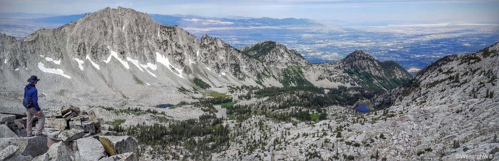
Northwest: Great Salt Lake, Salt Lake Valley
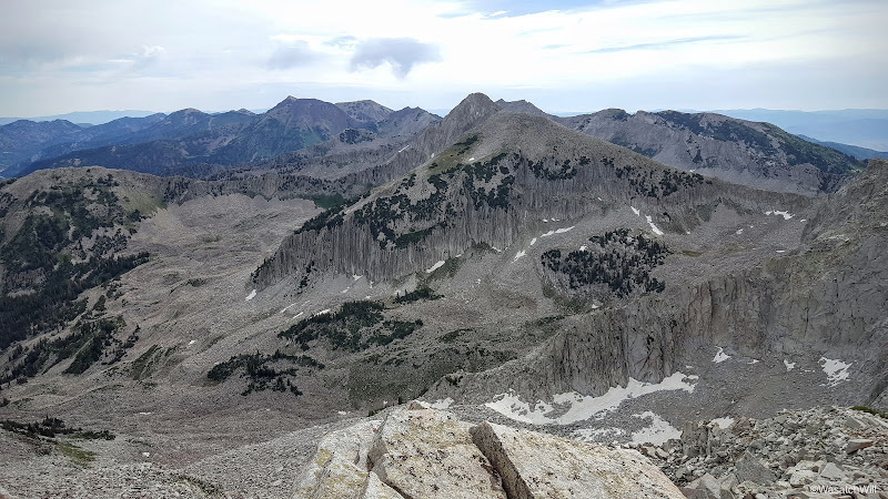
Northeast: Thunder Mountain and Cottonwood Ridge
East: Alpine Ridge featuring the Pfeifferhorn (middle)
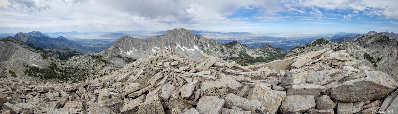
West Panorama
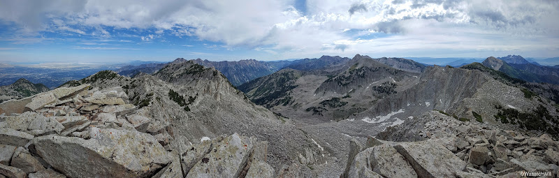
East Panorama

Me (photo by James)
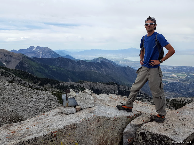
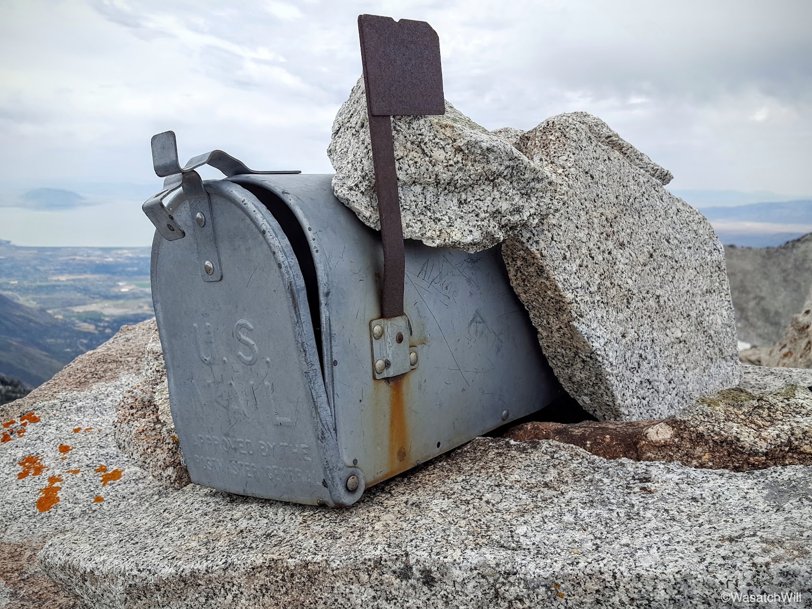
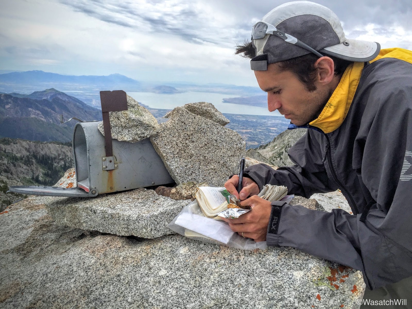
The summit register and me (photo by James)
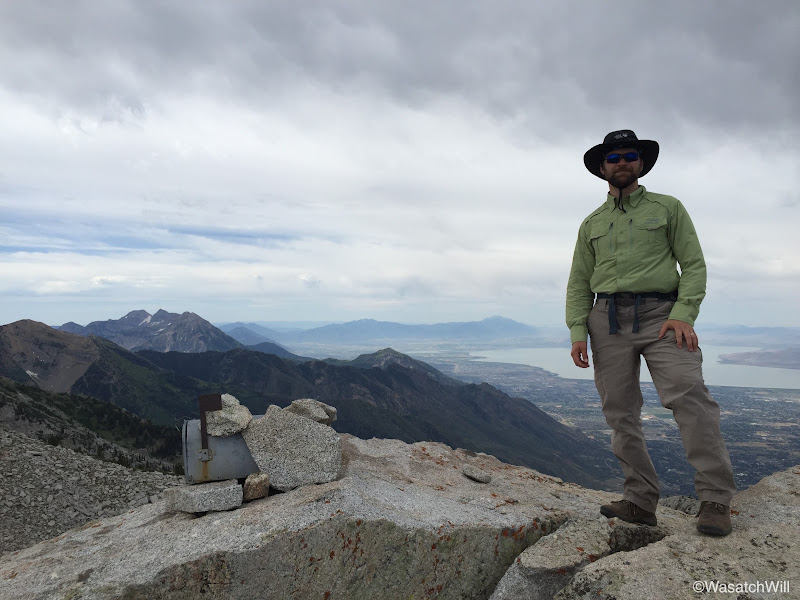
James and the register
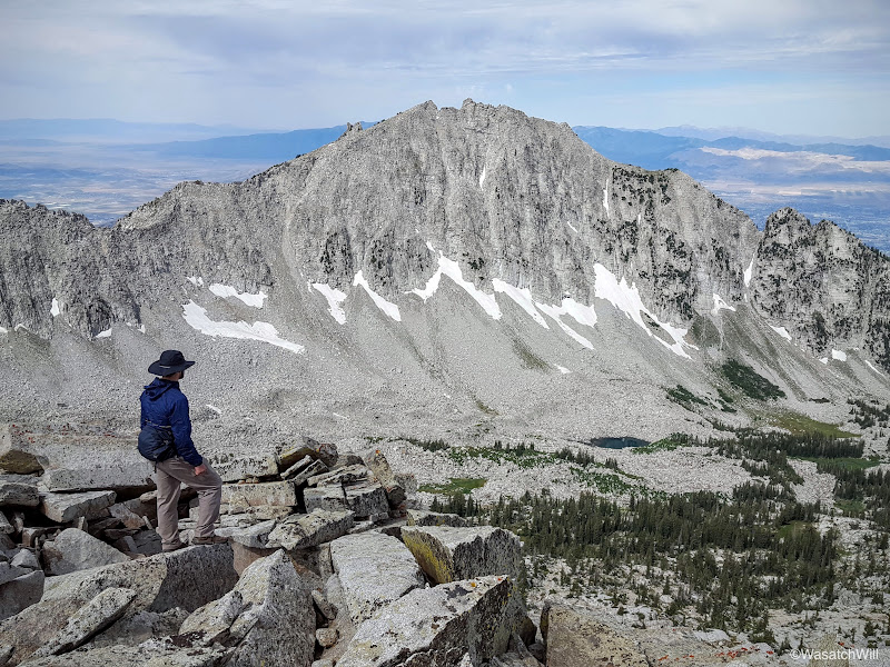
James gazing out at Lone Peak

Lone Peak and Upper Bells

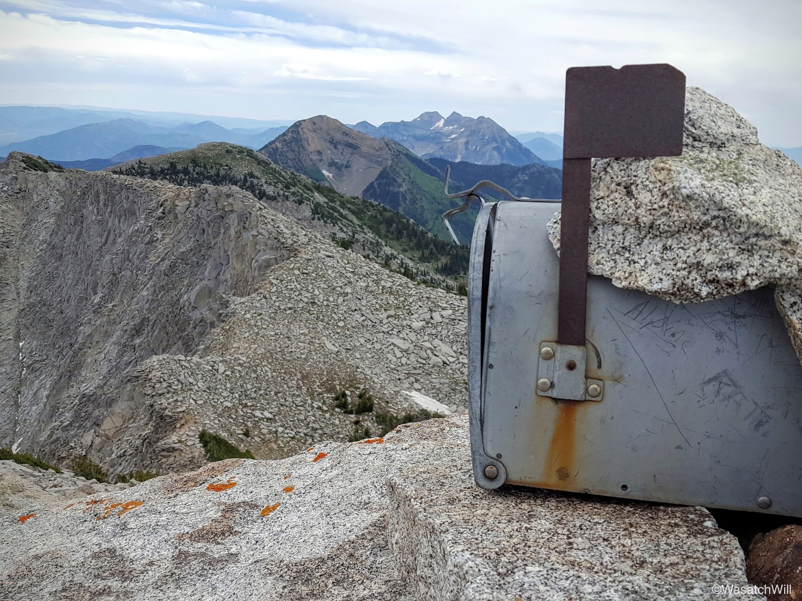
Summit Register

Summit register with Box Elder Peak and Mount Timpanogos in the background
Upon actually signing the register, it was neat to find my entry in the summit register still there from 2 years ago.

Signing the register (photo by James)
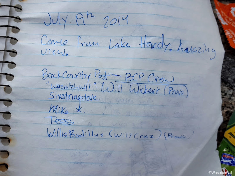
Memories from 2014 - @steve , @Mike K , @WillisBodillus
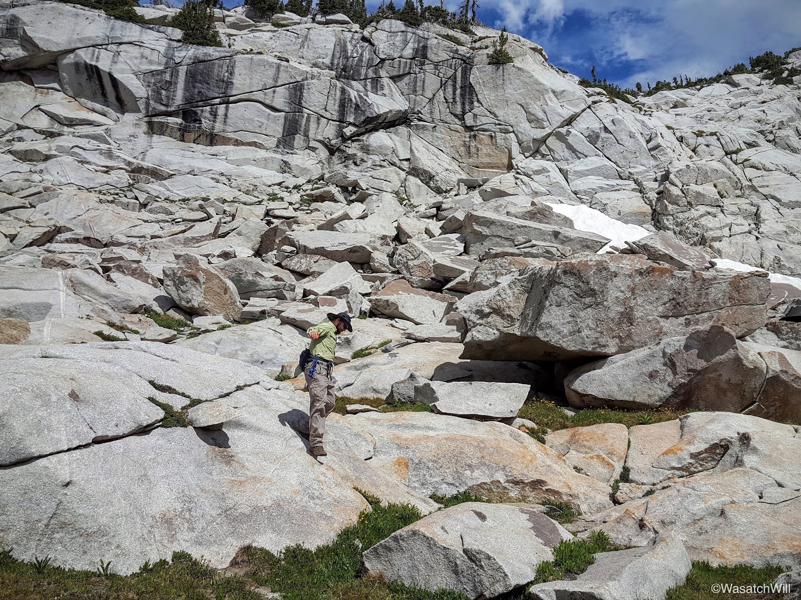
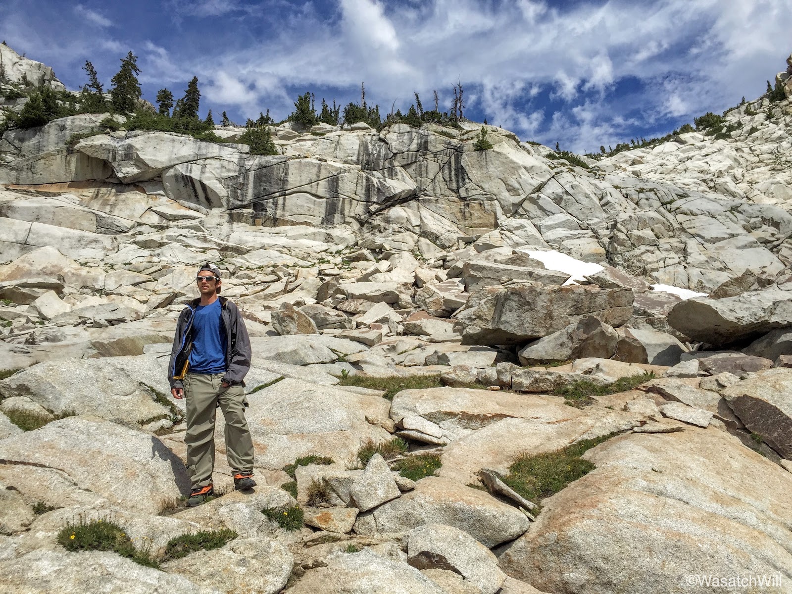
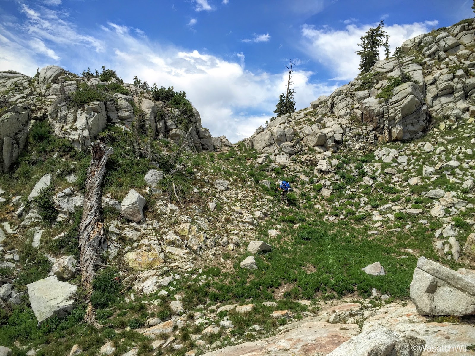
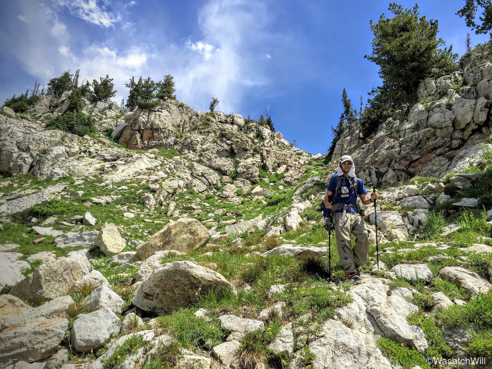
On our way back down, we descended a boulder slide straight down to Lake Hardy rather than retrace the steps we had taken to come up.

Me on the descent (photo by James)

Descending toward Lake Hardy
James on the descent
And then me (photo by James)
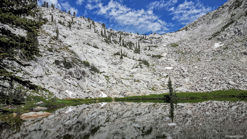
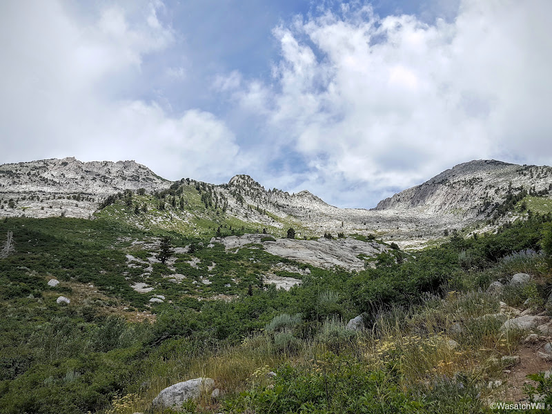
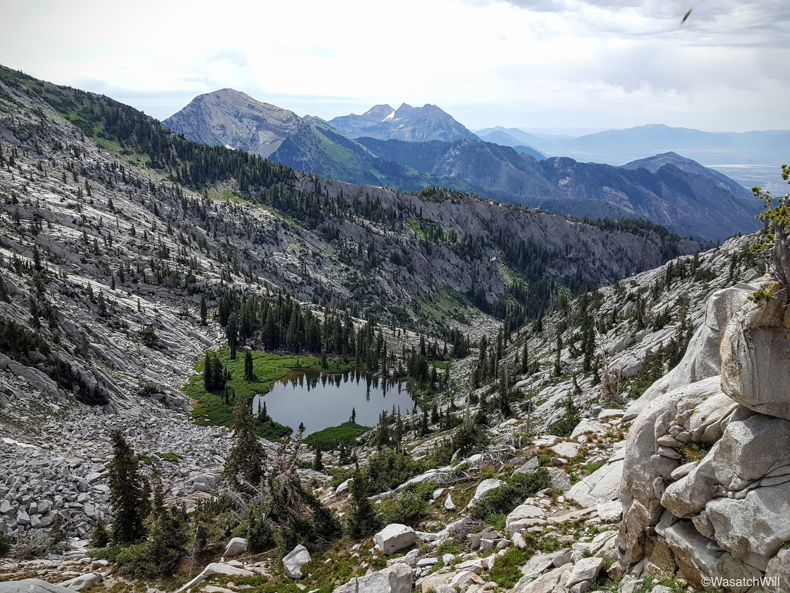
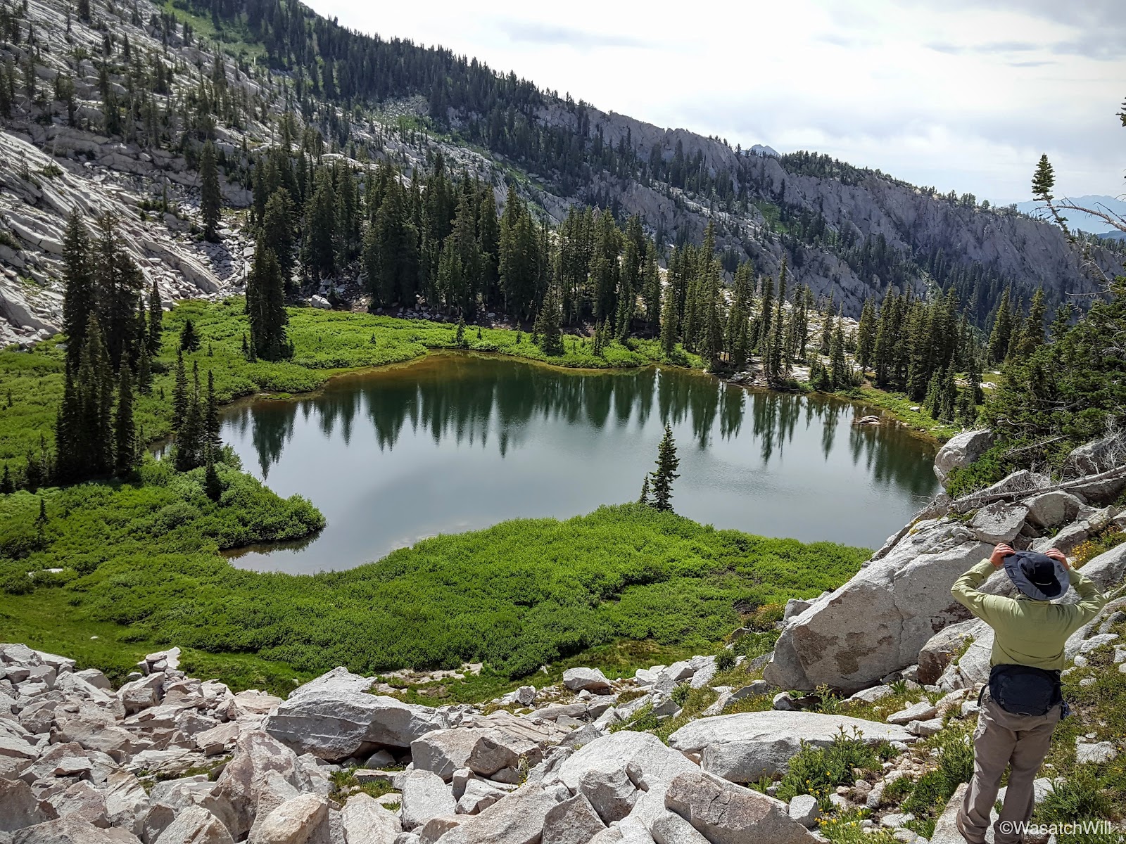
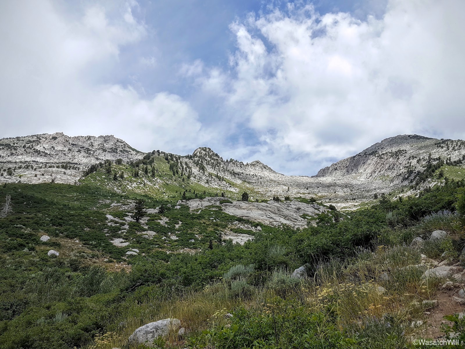
Another reason I'm in awe of this area is the massive and majestic granite masiffs that border the basins.
Majestic massif
Lake Hardy from above
Almost back
In good time, we arrived back at the lake shore and reunited with our packs. This time, clouds had cleared out giving way to some nice blue skies.
North shore with blue sky
South shore

East shore
Another pano
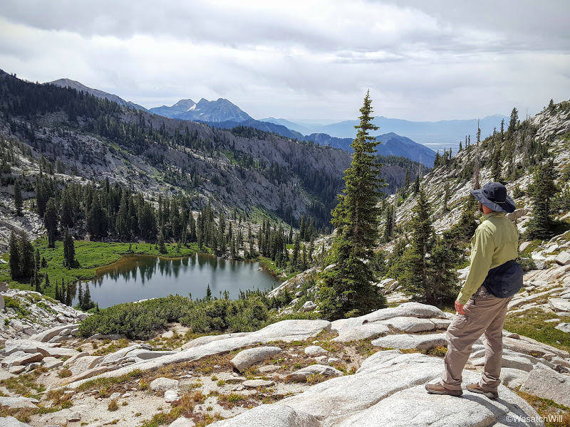
We took another good rest, topped off our water and lingered around a bit to soak it all in, both literally and figuratively, and then started to make our way back down to the trailhead. This time, we'd be dropping down to the 2nd Hamanogog before closing the loop back at 1st Hamangog. The first stretch required a good bit of route-finding and off trail navigation. It was some of the most enjoyable terrain for such activity. There was just enough variability and dynamics to it to keep it fun and interesting without becoming too demanding or technical.
Looking at where we camped the night before from above

Navigating up to a tiny pass (photo by James)
And down the other side
My turn to come down (photo by James)
After no more than a mile, we captured the trail we needed to get us down to 2nd Hamangog.
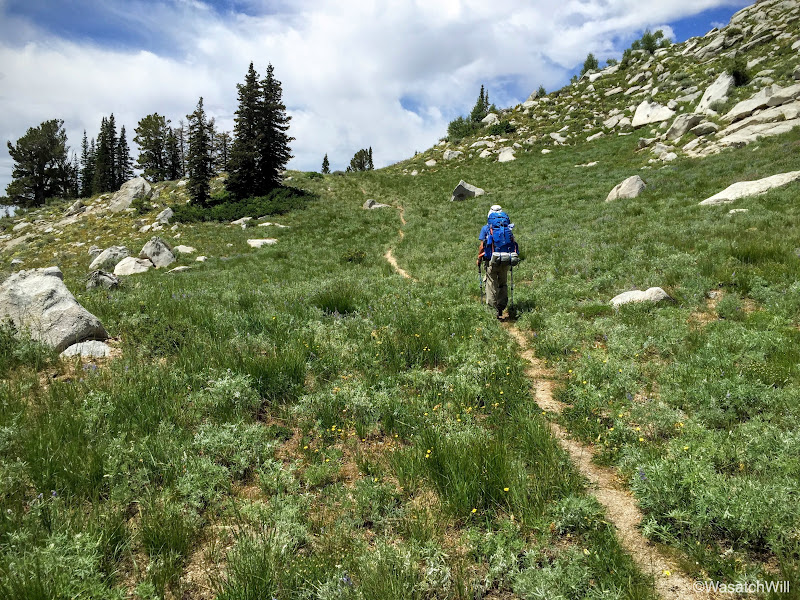
Capturing the trail
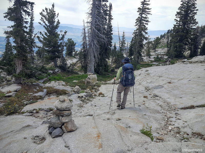
Following the cairns
Looking back east
A steep descent awaits us over this ridge (photo by James)
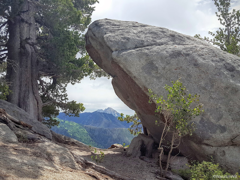
Timpanogos as framed by Friendship Rock
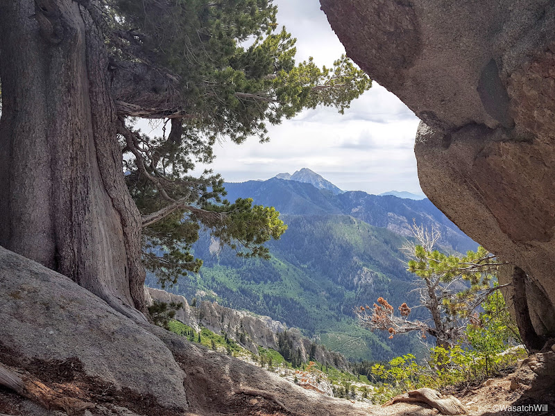
A little closer
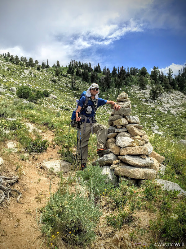
The 'King' cairn (photo by James)
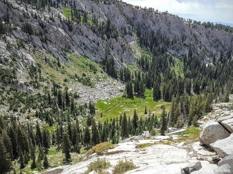
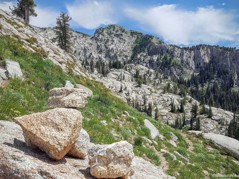
Second Hamangog (middle, clearing in the trees) as seen from the trail above
Looking back up toward Lone Peak (left) and Big Horn (right)
We made the long and steep descent down into 2nd Hamangog in good time and more importantly, our knees never acted up on us. Last time I had done this route, my right knee gave me fits coming down this section of the trail.
The 2nd Hamangog served as a nice retreat for one final break. The tall conifers provided a welcome relief from the sun. Having entered the lower elevations, we were losing the steady mountain breeze so common with the higher elevation and so the heat was really coming on stronger now.
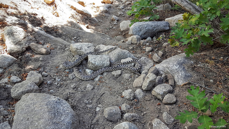
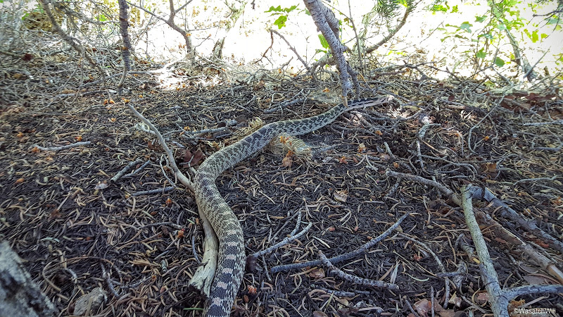
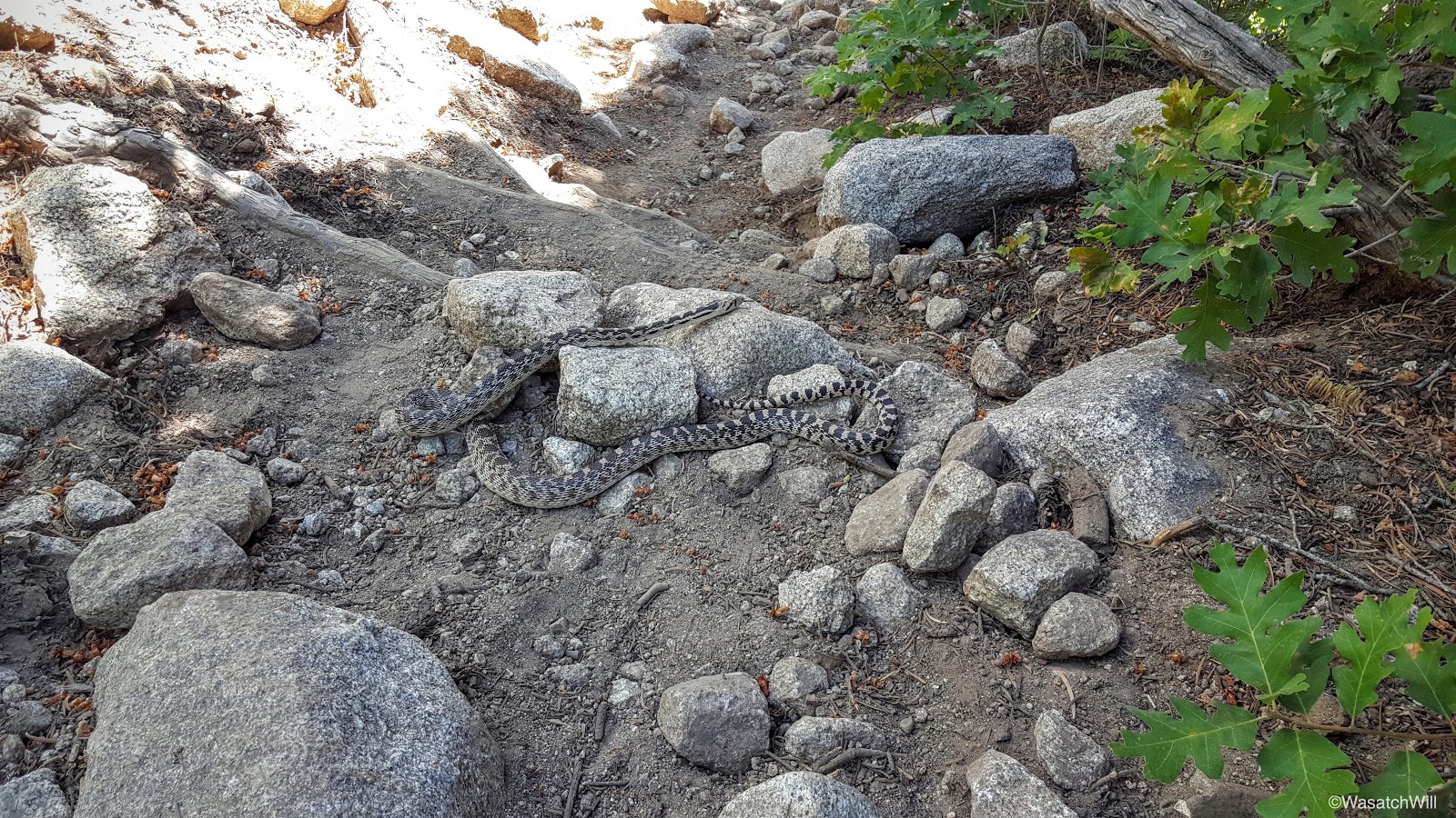
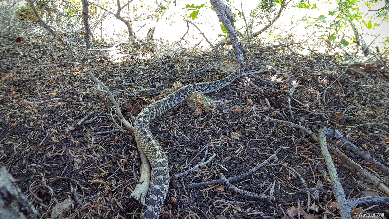
After a satisfying rest, we pushed on for the final stretches down to the car. Along the way we encountered a bull snake chilling in the middle of the trail. It was a bit of a fright at first as we didn't see it until stumbling around a bend in the trail where it was suddenly right there. Given its pattern, I initially thought it must be a rattle snake, and a big one at that. But the snake remained quiet and I was quickly able to discern that there was no rattle on the tip of its tail. Definitely a bull snake.
A short distance later, we had closed the loop at 1st Hamangog and began the switchbacking back down to the valley. At last, we now had our car in sight. With that, we also had a little over a mile of mostly shadeless hiking down a significant amount of elevation still, until we finally arrived back at the trailhead where we popped open some cold drinks, as if they were a godsend refreshment.
Video:
Friday - July 15, 2016
Hamon-gog - multitude of Gog, the name of the valley in which the slaughtered forces of Gog are to be buried ( Ezekiel 39:11Ezekiel 39:15 ), "the valley of the passengers on the east of the sea."
As usual, due to work and some last second packing, we got started late. Again, this would be to our advantage, enabling us to hike in cooler temperatures. We had 4000 feet to gain in 4 miles to reach the meadow we wanted to camp in. Doing that in the heat of the afternoon would be nothing short of miserable.
We started off at the Schoolhouse Springs trailhead at about 6:30 pm where a few other cars were parked. A couple guys were gearing up to hike up to the 2nd Hamangog for the the night where they'd then move on to gear up for a climb of Lone Peak. James and I would be taking the opposite way out of the 1st Hamangog, forking off toward East Hamangog then ascending up to the meadows below Lake Hardy. We hit the trail hard and maintained a vigorous pace for two and a half miles until we reached the creek that flows out of Lake Hardy much further up the mountain.

School House Springs Gate
Hamangog is a theme in this area. It is a word with biblical origins and in this area, it can be loosely translated to simply "meadow" or "mountain meadow". There are three such flats or meadows along a trail that runs east and west, the first and central meadow you come to being called First Hamangog. This is also where you officially enter across the Lone Peak Wilderness boundary.
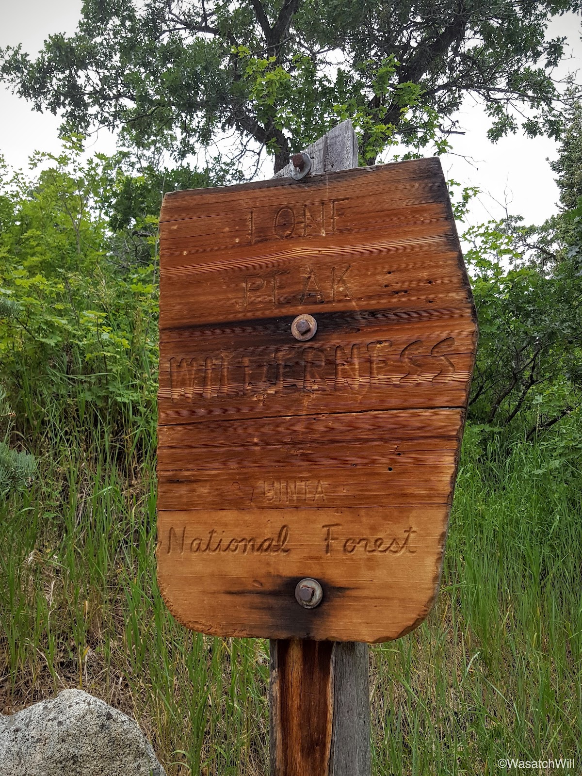
Lone Peak Wilderness Boundary

First Hamangog
Shortly after leaving the First Hamangog, there was a good view out to where I had camped and hiked the previous week: Community Flat along the saddle and Box Elder Peak up to the right of it.
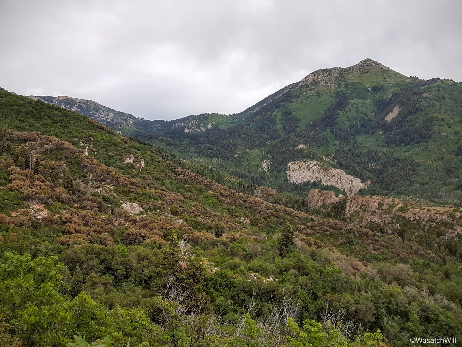
Community Flat and Box Elder Peak from
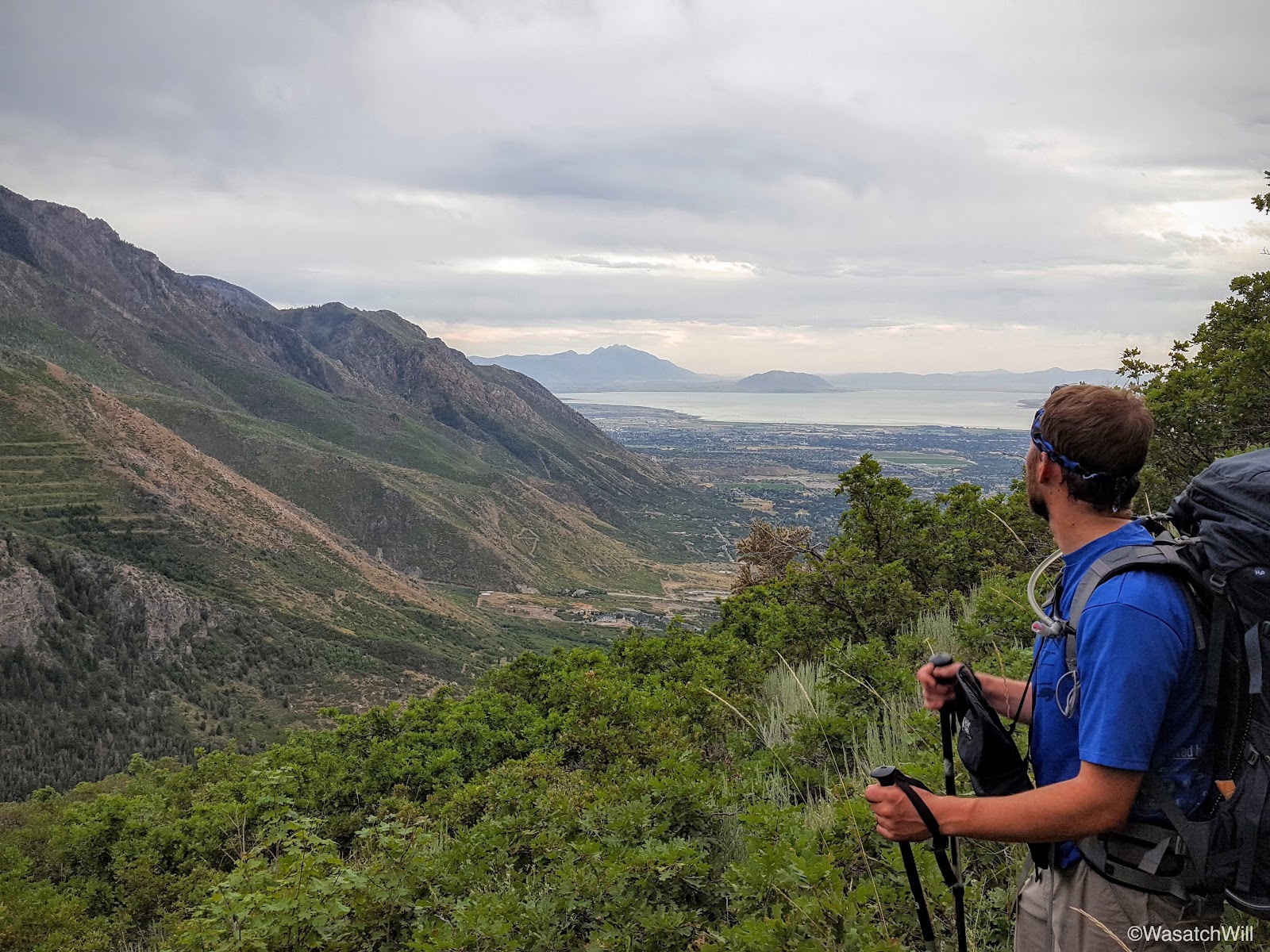
James having a look back down at the valley below

A brief patch of ferns
Once at the creek, we took a well-deserved break. The creek served as an oasis where we were able to cool off a bit, have a snack, and just enjoy the little details that gave it some beauty.
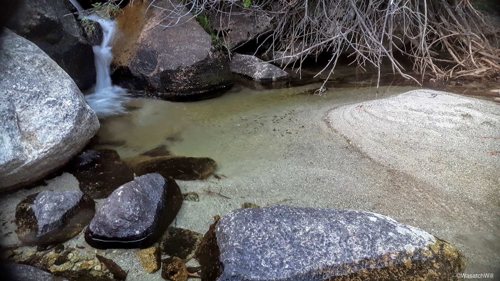
The creek
An oasis on the trail
Rested and replenished, we set off for the 2nd leg of the hike, a steep and grueling climb requiring some bushwhacking through some overreaching scrub oak and such, but the views would soon open up and treat us to a real nice sunset.
Bushwhacking (photo by James)
Alpenglow across Box Elder

A brewing sunset

Sunset
Of course, with the sun now set, it meant little daylight would be left. Based on my experience the first time up, I was excited to do some more night hiking again because it meant we'd have a beautiful view down into the valley with all of its lights.

City lights
As we neared the same creek once more, we took another restful break. There was a firework show taking place as we made calls to our wives to wish them goodnight. We'd soon be out of cell coverage for the rest of the night.
North Utah County
A mile later at around 10:30 pm, we were at our desired destination for the night, the meadow below Lake Hardy. We got a little fire going and proceeded to set up camp. I brought up my hammock and considered setting it up in the same spot I had my last time up, but decided to put it into ground mode as a bug bivy out in the open grass. Little did I know how grateful I'd be for the mosquito protection it ended up providing. We had ourselves some hearty dinners and retired to bed. South Thunder Mountain awaited us in the morning.

Campfire
Saturday - July 16, 2016
We not only awoke to skies overcast with clouds, but we also awoke to the meadow being seemingly overcast with mosquitos. They were aggressive. While there was safety in my hammock's bug net, it was another story outside of it. Never have I been so grateful for the invention of head nets. It was an essential piece of gear for maintaining sanity when up and out of the bivy sanctuary.

Our camp
Hammock in ground mode
We did not linger long, opting to pack up right away and get moving up toward Lake Hardy above where we'd fuel up with some breakfast before making our way up to the summit of South Thunder Mountain. Along the way, we stopped a handful of times to admire how the stream interacted with the geology it traversed over with little cascades and waterfalls. Lots of other interesting little geologic features abounded as well.

The stream

Just chillin' (Photo by James)

Alpine pool
James checking out the pool from above
And me, doing the same below (photo by James)

An interesting streak in through the rock
Doesn't feel like the Wasatch anymore
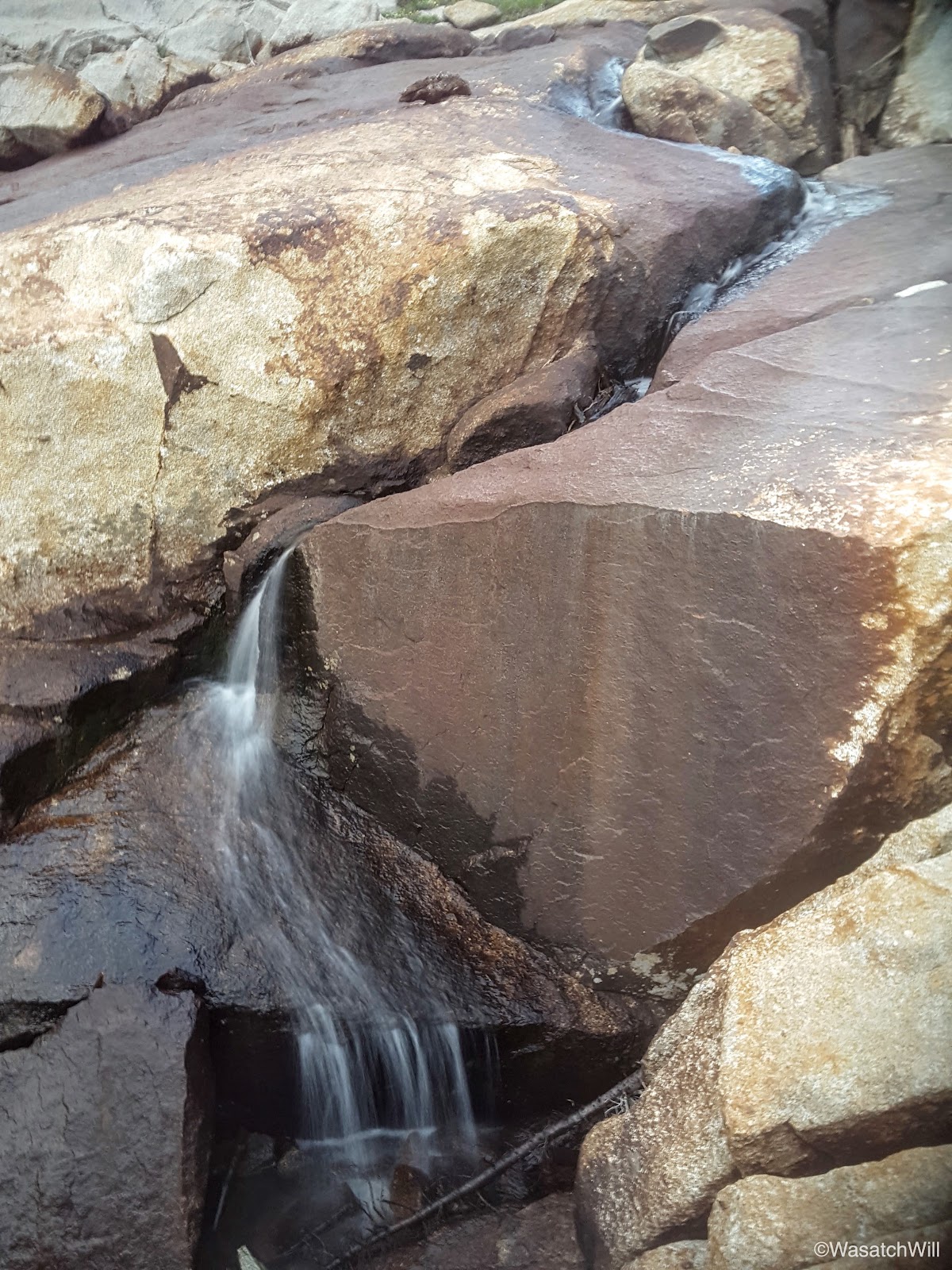
Another micro waterfall

Pool just below Lake Hardy
And another little pool near the shore of Lake Hardy
Soon enough, we were standing at the shoreline of Lake Hardy. The skies remained overcast, so there was no blue skies to really make the greenery pop, but it was beautiful and calm nonetheless, offering up some nice reflection shots.

Lake Hardy panorama

Lonesome tree
Looking across Lake Hardy

Southern shoreline
A beacon of light
Reflection
More reflection

One more
With full stomachs and some freshly filtered water, we were ready to leave our big packs behind in exchange for our little summit packs and made way for South Thunder Mountain's summit.

Looking southward from above Lake Hardy

South Thunder Mountain ready and waiting
James taking in the view of Lake Hardy below

Getting higher, looking south again. Mt, Timpanogos coming into view on the left.
Even higher. Mount Timpanogos and Box Elder Peak now in full view.

James, camouflaged among the granite

Textures (Photo by James)
Pointing out some nearby landmarks (Photo by James)
Looking west at Bighorn on the left and Lone Peak on the right

South Thunder Mountain
Of course, a summer's trip report of an alpine environment isn't complete without showing off some of the wildflowers along the way.

Parry's Primrose

Parry's Primrose
Parry's Primrose
Daisy

Buttercup

White daisies

Yellow daisies
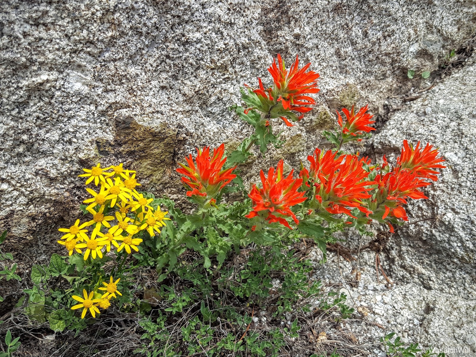
Paintbrush
It wasn't long before all patches of vegetation vanished where there was nothing but rocks and boulders to continue pushing through and over as we neared the top.

Resisting temptation to detour up another little peak (photo by James)

Boulder-hopping

Almost there
And then finally, we stood upon the summit. This is definitely among my favorite peaks in the Wasatch because of the incredible views you have of other prominent peaks surrounding it, including Lone Peak, the Pfeifferhorn, Mount Timpanogos, and Box Elder Peak among many others. There are also 3 big basins to gaze down upon.
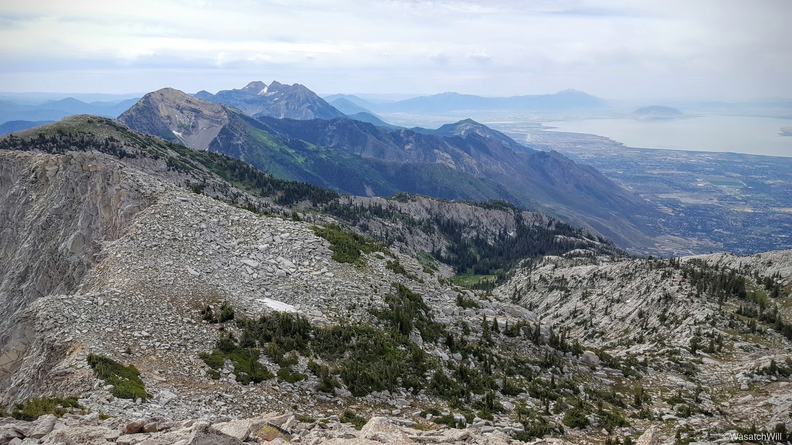
South from South Thunder. Box Elder, Timpanogos, and Utah Valley in view.

Southwest: Bighorn and Lone Peak

West: Lone Peak, Deseret Peak (far horizon), South Salt Lake, Bingham Copper Mine, Oquirrs
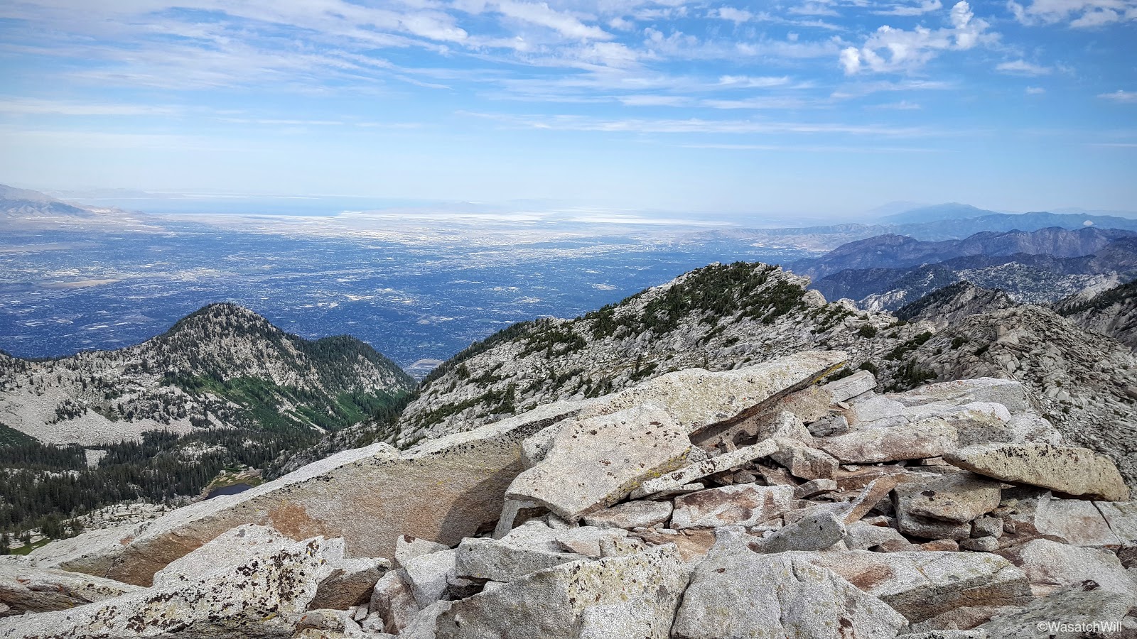
Northwest: Great Salt Lake, Salt Lake Valley

Northeast: Thunder Mountain and Cottonwood Ridge

East: Alpine Ridge featuring the Pfeifferhorn (middle)

West Panorama

East Panorama
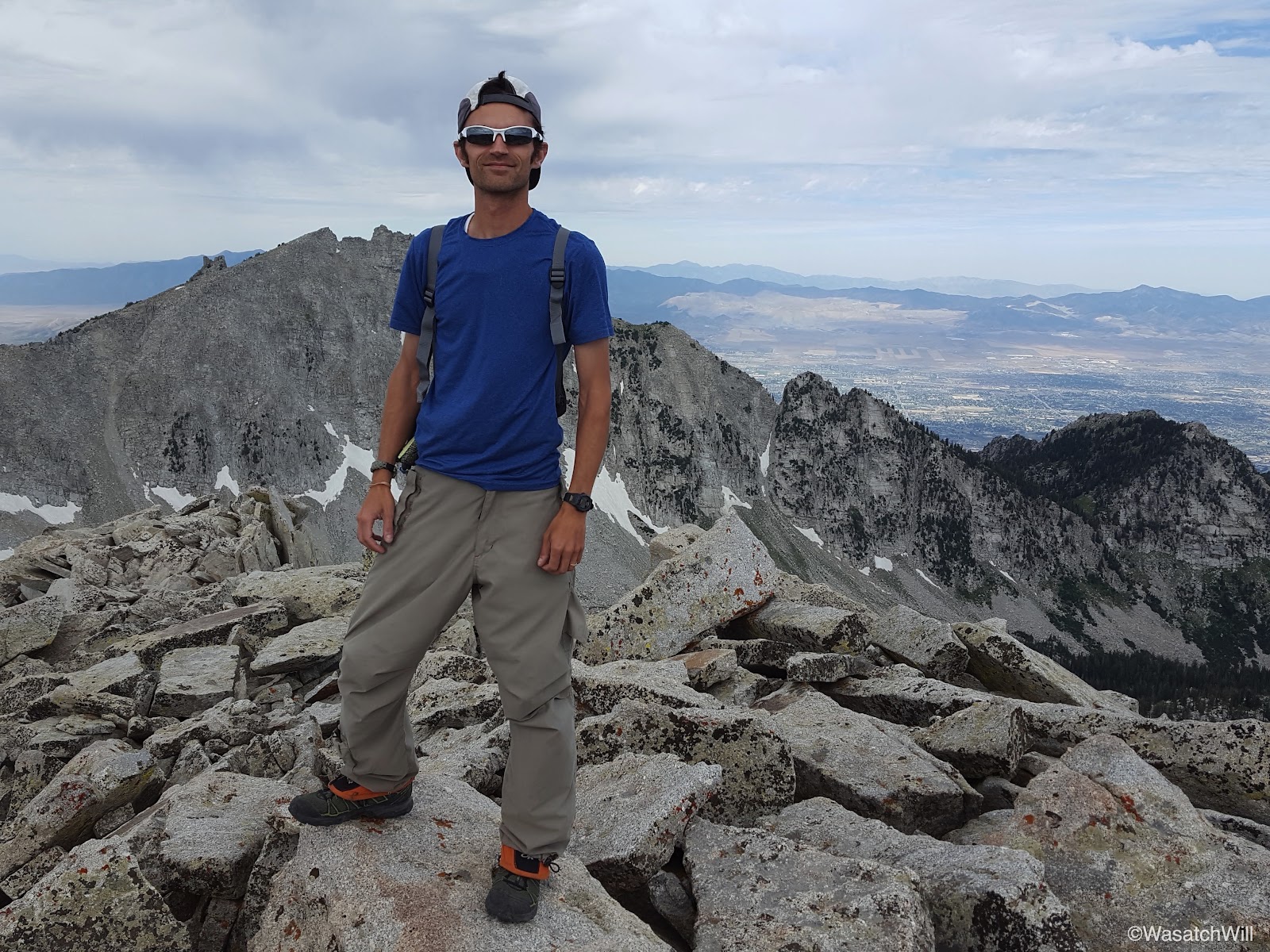
Me (photo by James)

The summit register and me (photo by James)

James and the register
James gazing out at Lone Peak
Lone Peak and Upper Bells
Summit Register
Summit register with Box Elder Peak and Mount Timpanogos in the background
Upon actually signing the register, it was neat to find my entry in the summit register still there from 2 years ago.
Signing the register (photo by James)
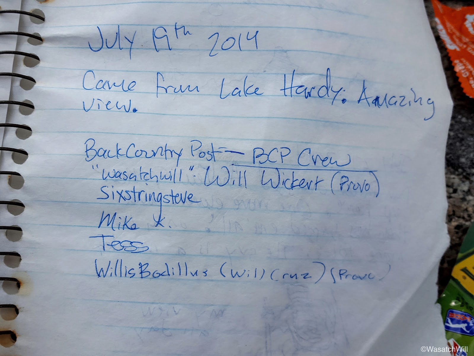
Memories from 2014 - @steve , @Mike K , @WillisBodillus
On our way back down, we descended a boulder slide straight down to Lake Hardy rather than retrace the steps we had taken to come up.
Me on the descent (photo by James)
Descending toward Lake Hardy
James on the descent
And then me (photo by James)
Another reason I'm in awe of this area is the massive and majestic granite masiffs that border the basins.

Majestic massif

Lake Hardy from above
Almost back
In good time, we arrived back at the lake shore and reunited with our packs. This time, clouds had cleared out giving way to some nice blue skies.
North shore with blue sky

South shore
East shore

Another pano
We took another good rest, topped off our water and lingered around a bit to soak it all in, both literally and figuratively, and then started to make our way back down to the trailhead. This time, we'd be dropping down to the 2nd Hamanogog before closing the loop back at 1st Hamangog. The first stretch required a good bit of route-finding and off trail navigation. It was some of the most enjoyable terrain for such activity. There was just enough variability and dynamics to it to keep it fun and interesting without becoming too demanding or technical.

Looking at where we camped the night before from above
Navigating up to a tiny pass (photo by James)

And down the other side
My turn to come down (photo by James)
After no more than a mile, we captured the trail we needed to get us down to 2nd Hamangog.

Capturing the trail

Following the cairns

Looking back east

A steep descent awaits us over this ridge (photo by James)

Timpanogos as framed by Friendship Rock
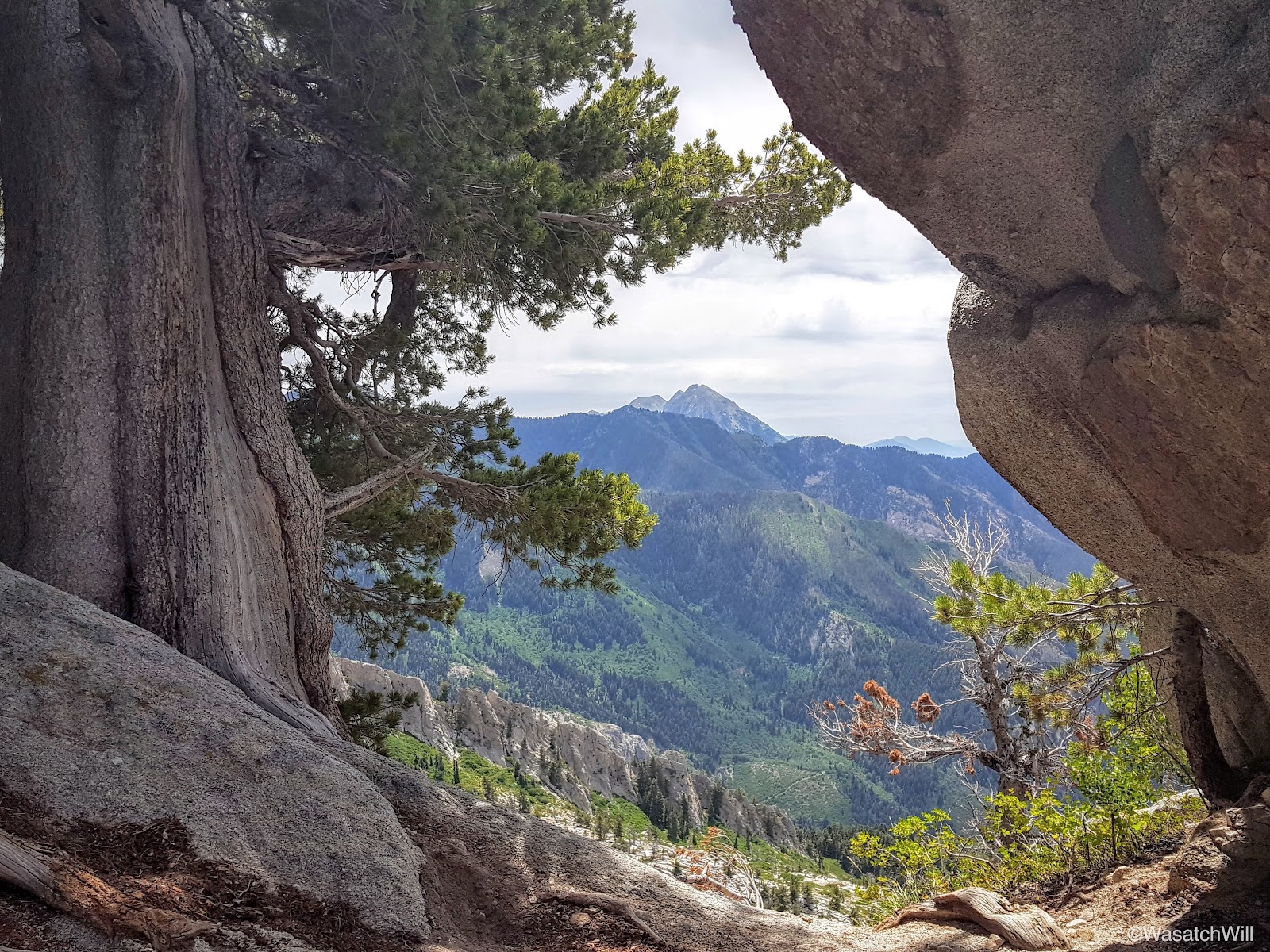
A little closer
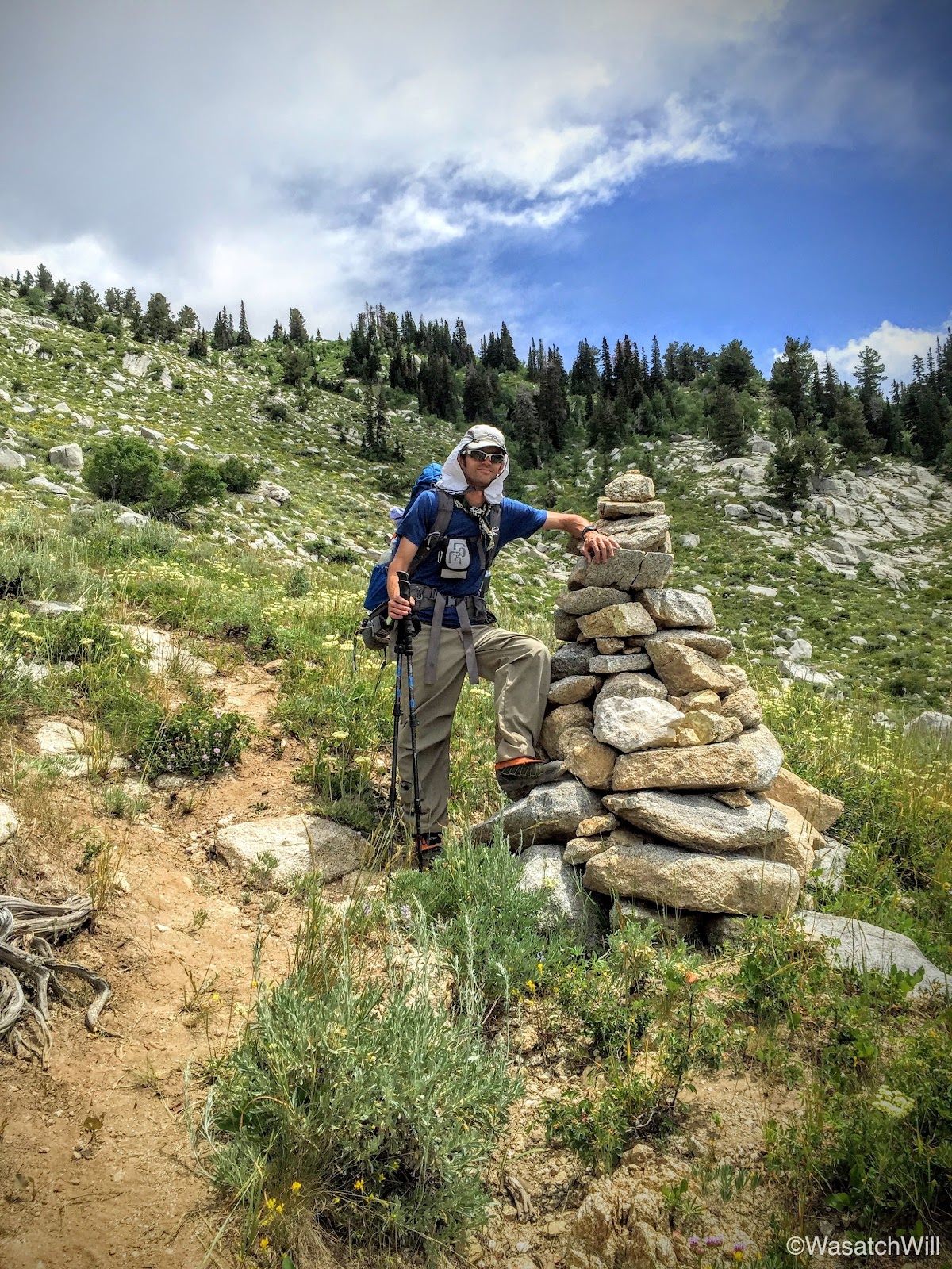
The 'King' cairn (photo by James)

Second Hamangog (middle, clearing in the trees) as seen from the trail above
Looking back up toward Lone Peak (left) and Big Horn (right)
We made the long and steep descent down into 2nd Hamangog in good time and more importantly, our knees never acted up on us. Last time I had done this route, my right knee gave me fits coming down this section of the trail.

The 2nd Hamangog served as a nice retreat for one final break. The tall conifers provided a welcome relief from the sun. Having entered the lower elevations, we were losing the steady mountain breeze so common with the higher elevation and so the heat was really coming on stronger now.
After a satisfying rest, we pushed on for the final stretches down to the car. Along the way we encountered a bull snake chilling in the middle of the trail. It was a bit of a fright at first as we didn't see it until stumbling around a bend in the trail where it was suddenly right there. Given its pattern, I initially thought it must be a rattle snake, and a big one at that. But the snake remained quiet and I was quickly able to discern that there was no rattle on the tip of its tail. Definitely a bull snake.
A short distance later, we had closed the loop at 1st Hamangog and began the switchbacking back down to the valley. At last, we now had our car in sight. With that, we also had a little over a mile of mostly shadeless hiking down a significant amount of elevation still, until we finally arrived back at the trailhead where we popped open some cold drinks, as if they were a godsend refreshment.

Video: