Udink
Still right here.
- Joined
- Jan 17, 2012
- Messages
- 1,748
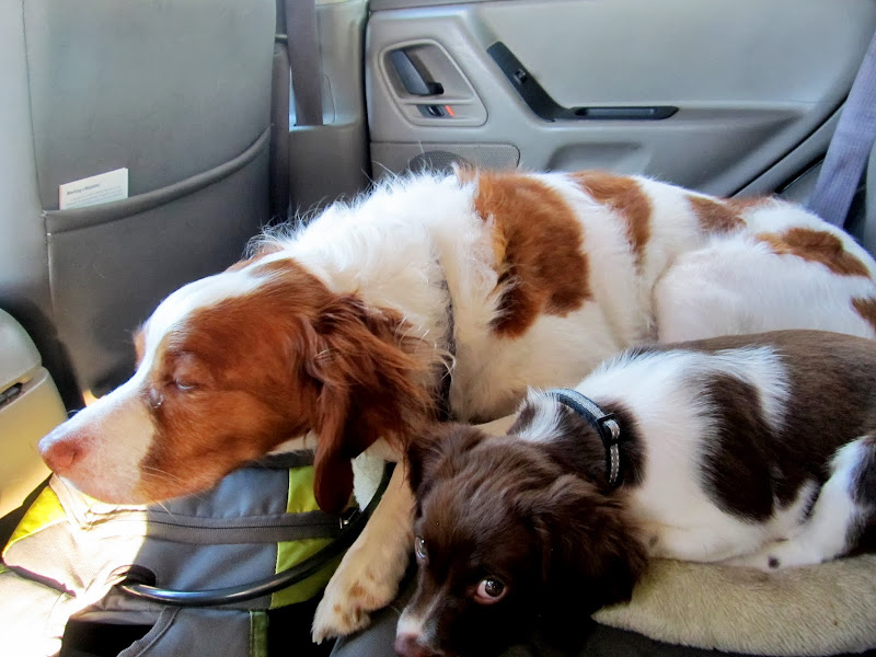
For the new puppy Boulder's first hiking trip I chose to repeat a hike I had done in 2004, North and South Tent Mountains in the Wasatch Plateau. South Tent is the highest point in Sanpete County at 11,285', and I recall the hike being difficult for me as a novice hiker nine years ago, but this time it was difficult for reasons other than inexperience. I was awake at 6AM due to a yelping Boulder next to my bed so we got an early start. Torrey still hasn't quite warmed up to Boulder, but they cuddled in the back seat of the Jeep for the entire drive to the trailhead. The weather forecast called for a good chance of thunderstorms in the afternoon but there were already darker clouds looming over Joe's Valley on the way up to Skyline Drive.
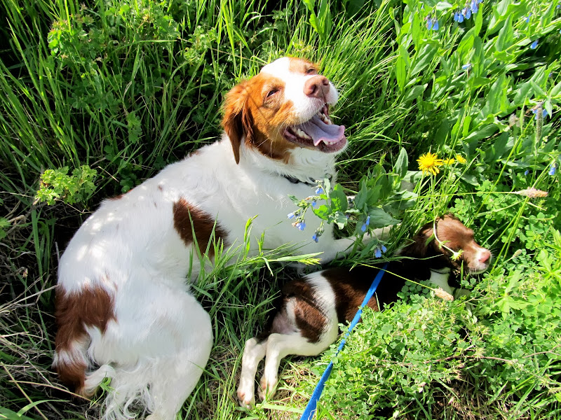
Torrey and Boulder in the back seat after fueling up in Price
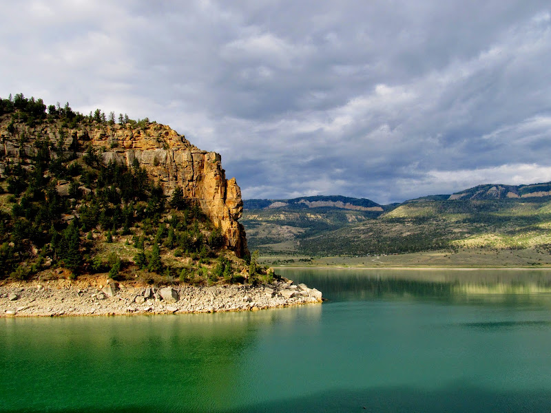
Joe's Valley Reservoir
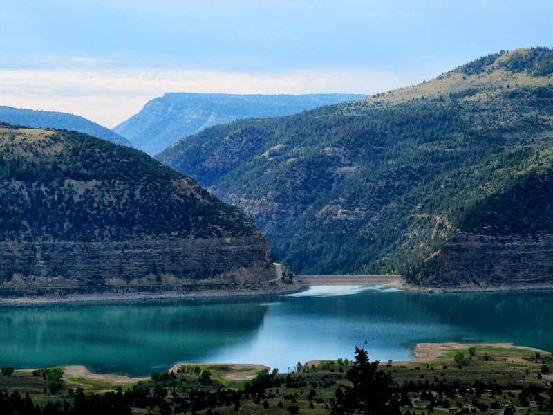
Wonderful view north along the Joe's Valley graben
Joe's Valley Reservoir and dam
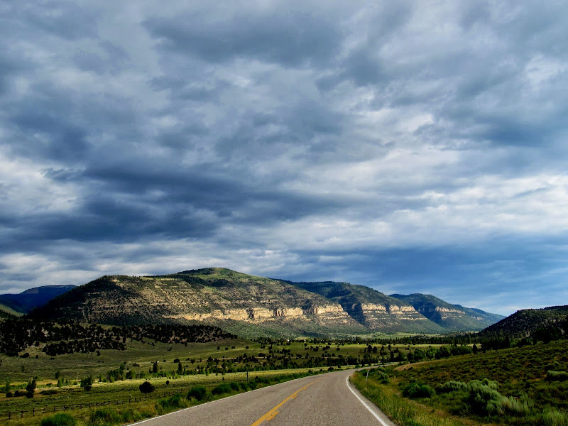
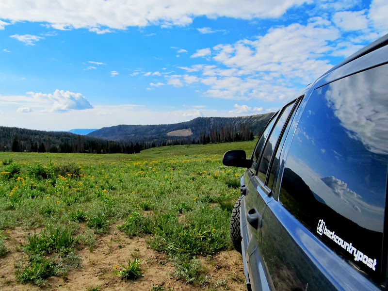
Potty break on top of Skyline Drive
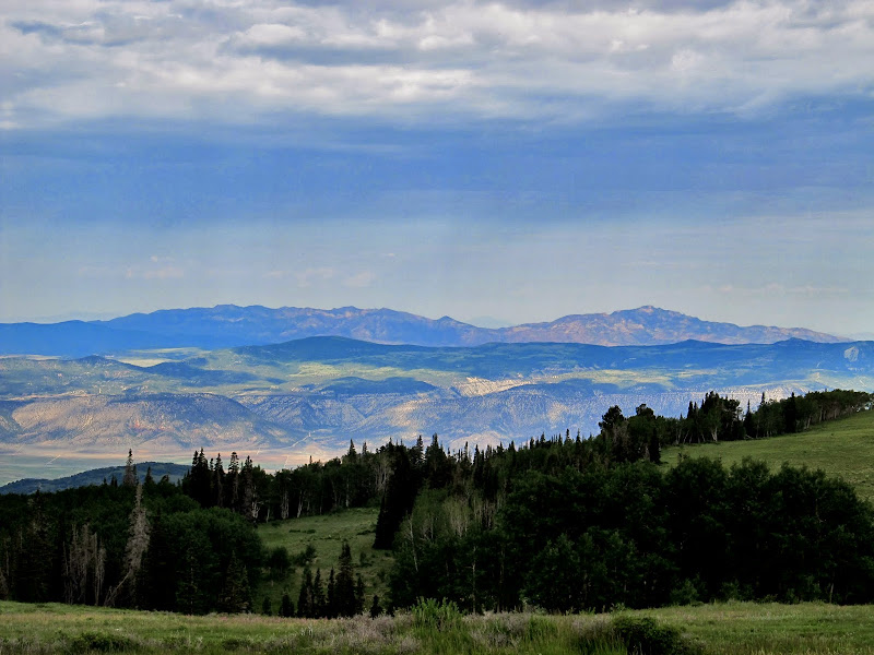
View from Skyline over Sanpete Valley to the Canyon Mountains in the far distance
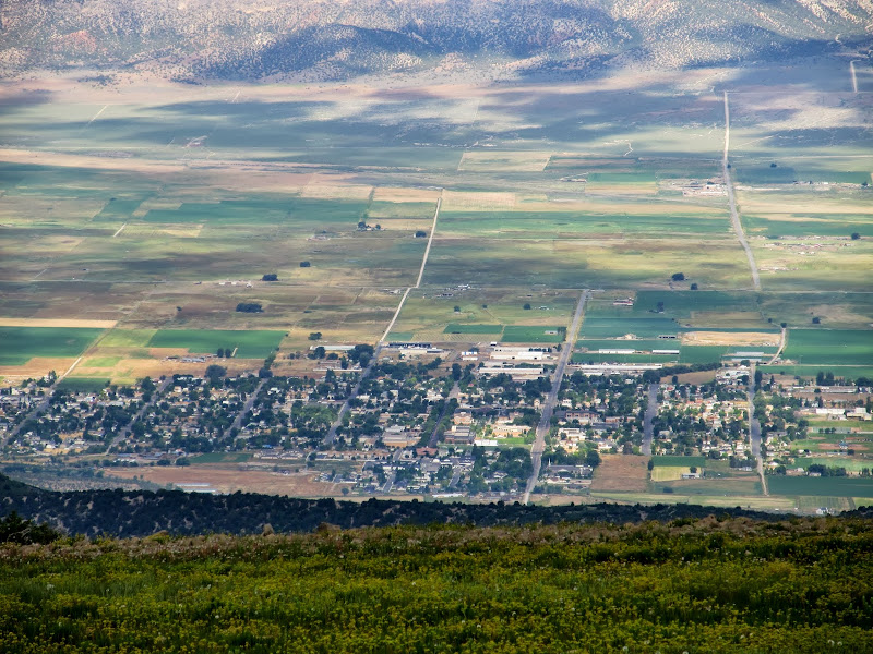
Ephraim
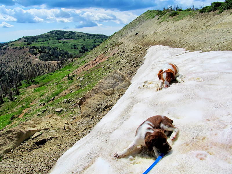
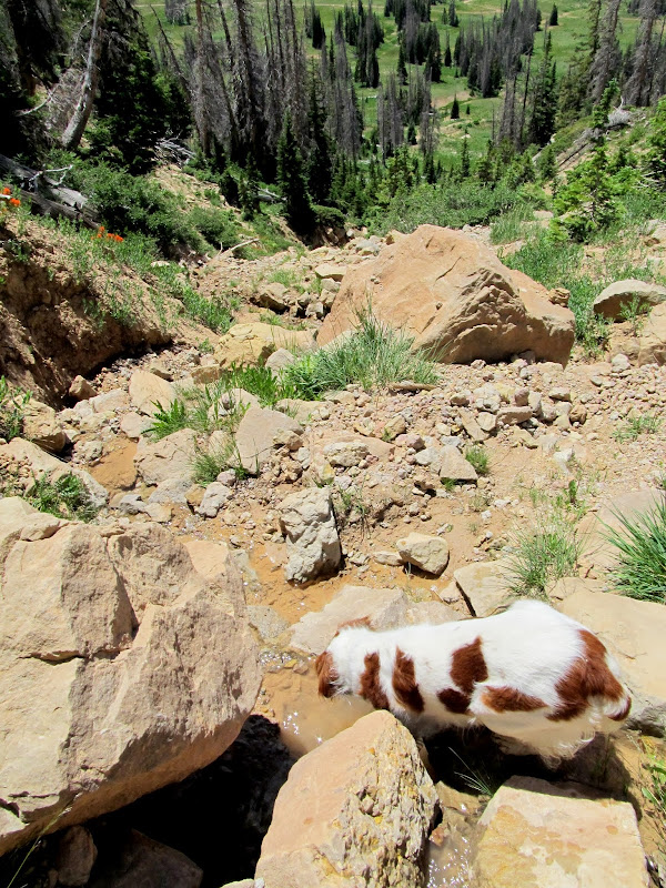
We were hiking by 10AM. Boulder did fine walking with a leash--Torrey knows what to do and Boulder likes to follow Torrey, so it worked well. The route to North Tent Mountain follows an old road that the Forest Service closed and destroyed. In '04 the dirt from the torn-up road was loose and sparse but now it's packed and covered in native plants, so the work must have been done in the early 2000s. I stopped often to let Boulder rest but her breaks grew longer as we closed in on the summit. Eventually I picked her up and carried her until we reached the summit ridge where the ground leveled out and she walked the rest of the way to the summit of North Tent Mountain. There was a snow drift on the east side of the summit and I scrambled down with the dogs so they could have at it. To my knowledge this was Boulder's first experience with snow, though she knew exactly what to do with it--both dogs bellied-up and started eating it.
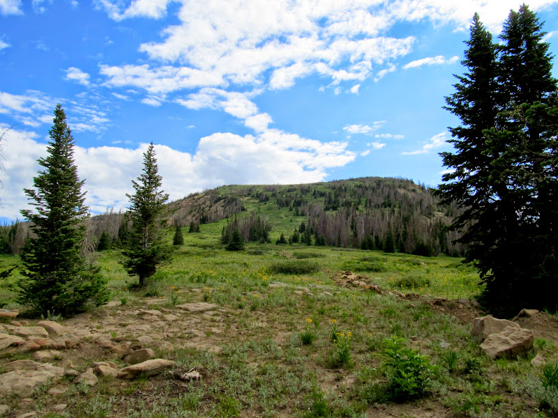
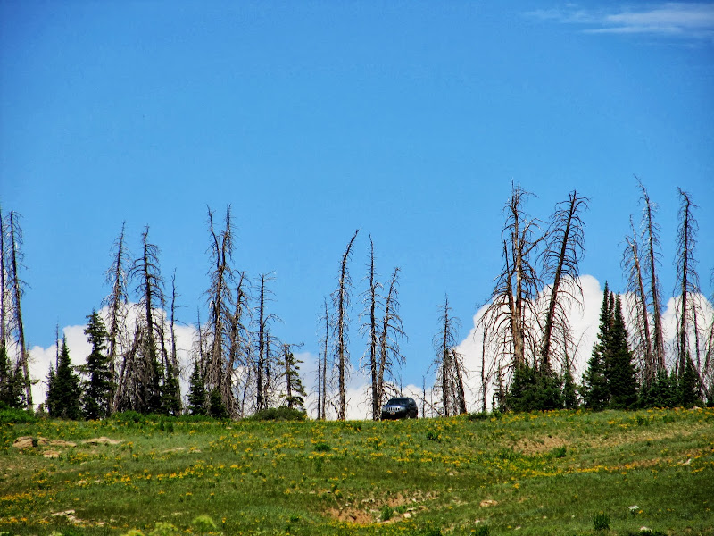
At the start of the hike to North Tent Mountain
View up North Tent Mountain
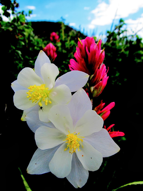
Columbine and Paintbrush
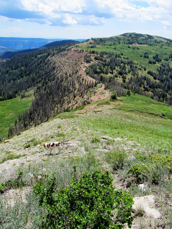
Boulder and Torrey
View down the mountain
Resting in the cool grass
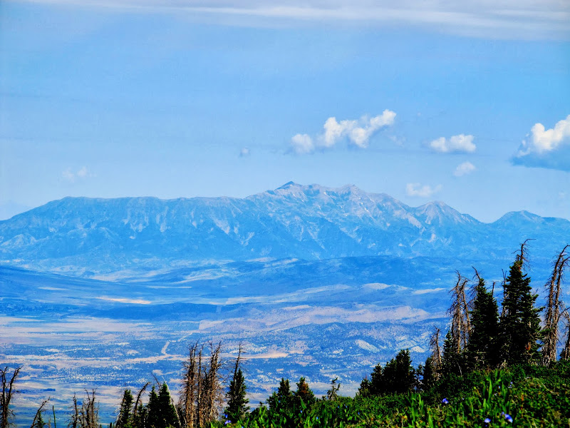
Mt. Nebo
On the summit ridge looking north
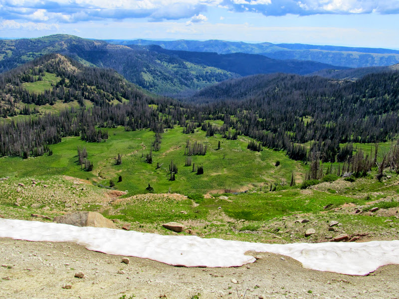
Meadow Fork of Black Canyon
Boulder and Torrey eating snow from a drift just below the summit ridge
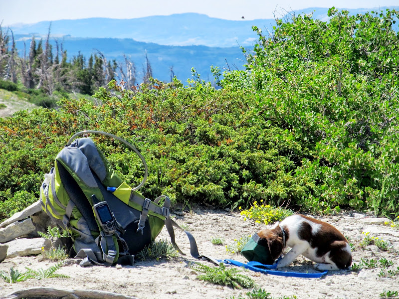
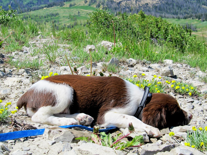
Back at the summit I found a geocache and signed the log, then gave the dogs some food and water. Boulder fell asleep after eating so I let her lie for a while before moving on toward South Tent Mountain. I found myself having to carry her almost constantly as we hiked toward the saddle between the two peaks. Carrying a puppy while hiking proved to be much more difficult that I'd expected! I fashioned a sling out of my jacket but it didn't work out well--without a positive hold on Boulder she would occasionally try to jump out of the sling, and from my chest-height that could have injured her. At the saddle, faced with a steep but relatively short 3/4-mile climb to the summit of South Tent, I decided to call it a day. Boulder couldn't make it on her own and I was having difficulty carrying her. I didn't (and still don't) regret having to turn around there--it had already been a great day in the outdoors with two great pups.
Boulder having a snack at the summit
Boulder sleeping at the summit
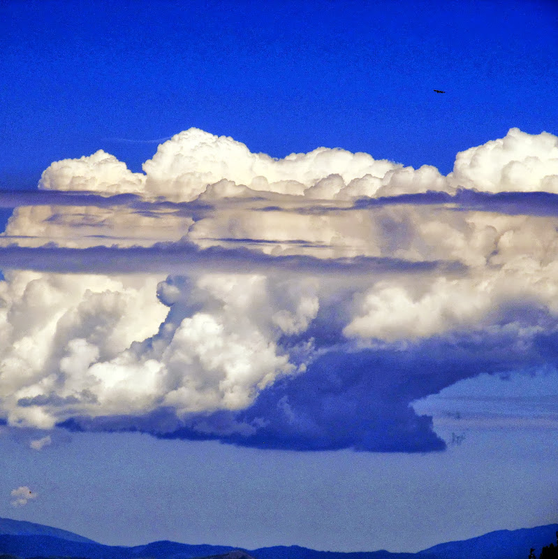
Clouds (and perhaps a golden eagle)
The saddle and South Tent Mountain
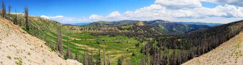
Panorama from the saddle between North and South Tent Mountains
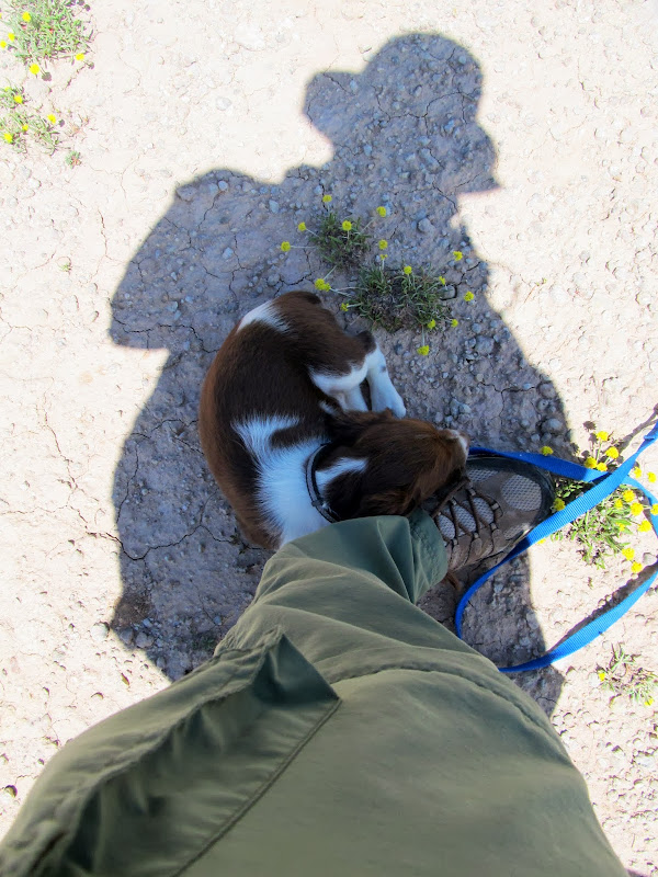
Boulder resting in my shadow
I stupidly tried taking a direct route back to the Jeep, when I should have hiked the short distance back up North Tent and followed the old road down. Instead I tried descending through some very steep and rough country to the flat below. I was stymied several times by spots that were too steep to traverse while holding a puppy, but after some careful footwork we made it to the bottom at Beck's Ditch, a small irrigation canal. There the dogs played in the water for a while then we did an easy walk along a dirt road back to the Jeep. Just as I was loading the dogs into the back seat a rumble of thunder came from the south. A rain storm was moving in and I decided to drive north on Skyline Drive, then took Potter's Canyon down to Miller Flat Road to get home. The section of Skyline Drive to the north was so rough that, in hindsight, I should have headed south into the storm. Torrey did her first big hike, Marsh Peak in the Uintas, at six months old. North Tent Mountain was a much easier hike at about 2.9 miles, but for Boulder, at nine weeks old, I'd consider it pretty big. Perhaps in the fall, when Boulder is bigger and before the snow hits, we'll be able to return and finish off South Tent.
Steep terrain between the saddle and the trailhead
Descending from the saddle
Torrey
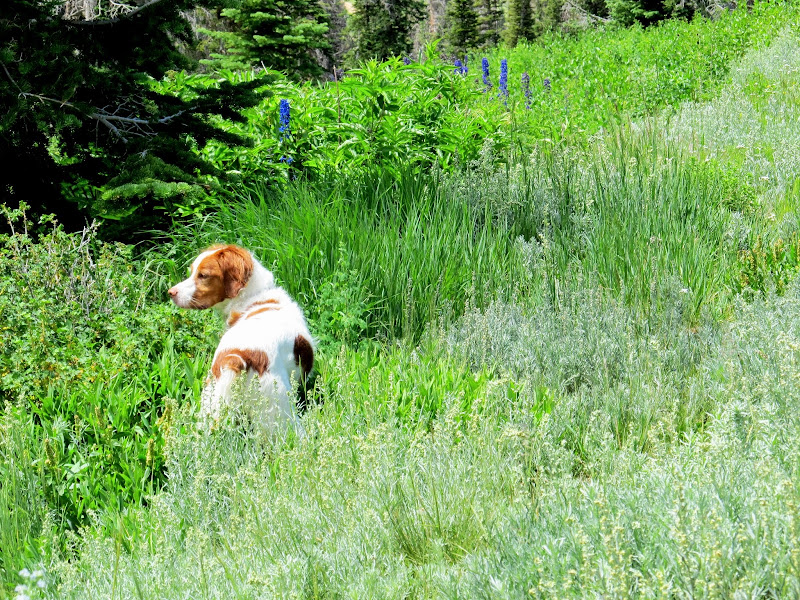
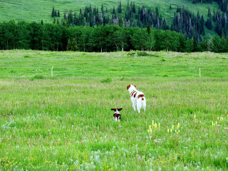
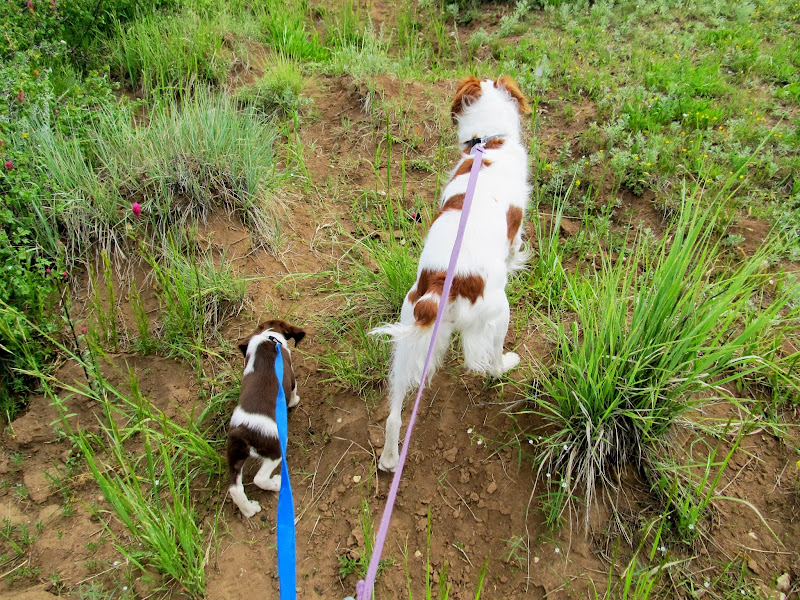
Boulder playing follow the leader
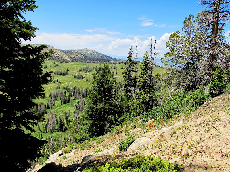
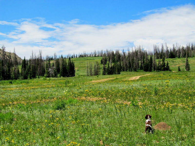
Boulder in a meadow at the head of Reeder Canyon
The Jeep is in sight, but still so far away!
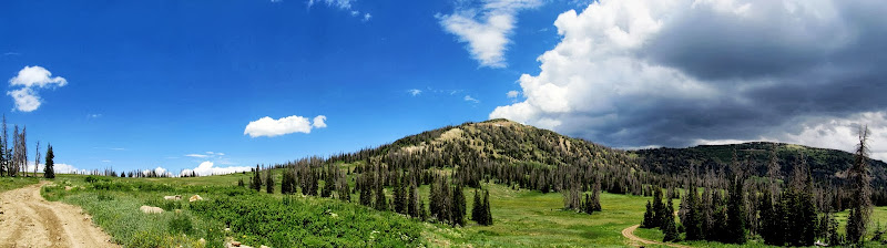
North and South Tent Mountains as a storm moves in from the south
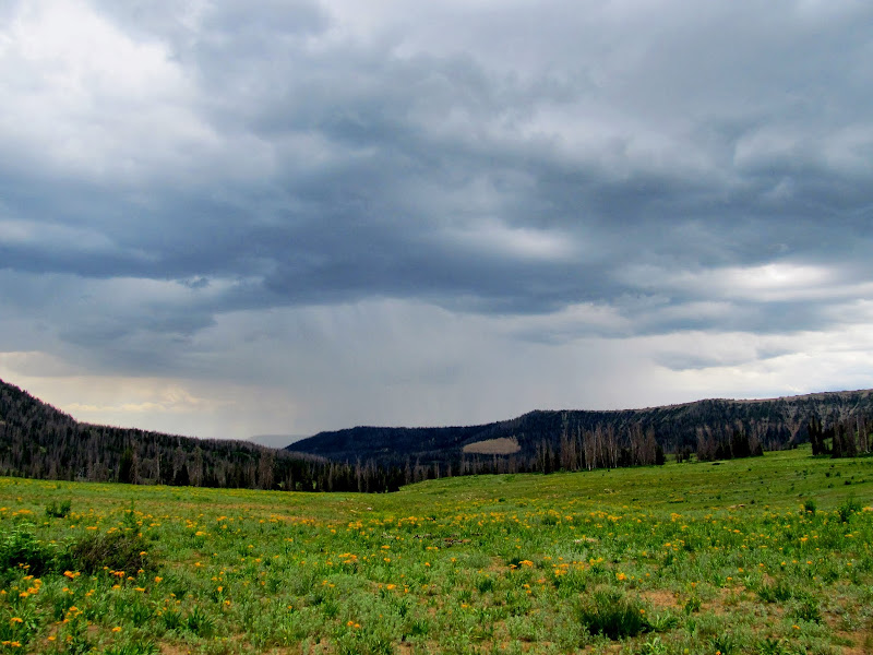
View south into the storm
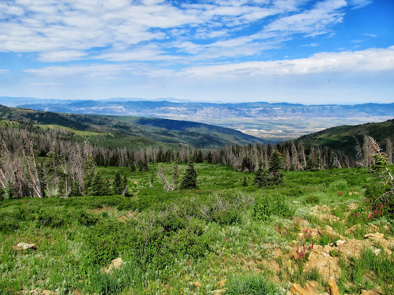
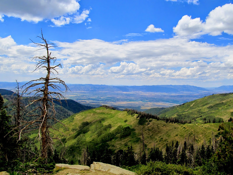
Sanpete Valley viewed from the head of the Twin Creek drainage
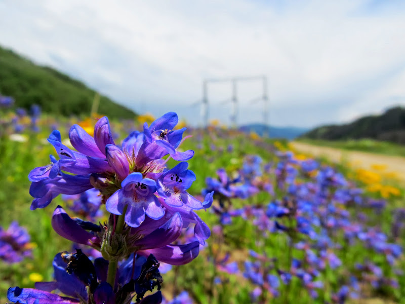
Penstemon in Potter's Canyon
Full photo gallery:
https://picasaweb.google.com/Dennis.Udink/NorthTentMountain
Featured image for home page:

Torrey and Boulder in the back seat after fueling up in Price
Joe's Valley Reservoir
Wonderful view north along the Joe's Valley graben
Joe's Valley Reservoir and dam
Potty break on top of Skyline Drive
View from Skyline over Sanpete Valley to the Canyon Mountains in the far distance
Ephraim
We were hiking by 10AM. Boulder did fine walking with a leash--Torrey knows what to do and Boulder likes to follow Torrey, so it worked well. The route to North Tent Mountain follows an old road that the Forest Service closed and destroyed. In '04 the dirt from the torn-up road was loose and sparse but now it's packed and covered in native plants, so the work must have been done in the early 2000s. I stopped often to let Boulder rest but her breaks grew longer as we closed in on the summit. Eventually I picked her up and carried her until we reached the summit ridge where the ground leveled out and she walked the rest of the way to the summit of North Tent Mountain. There was a snow drift on the east side of the summit and I scrambled down with the dogs so they could have at it. To my knowledge this was Boulder's first experience with snow, though she knew exactly what to do with it--both dogs bellied-up and started eating it.
At the start of the hike to North Tent Mountain
View up North Tent Mountain
Columbine and Paintbrush
Boulder and Torrey
View down the mountain
Resting in the cool grass
Mt. Nebo
On the summit ridge looking north
Meadow Fork of Black Canyon
Boulder and Torrey eating snow from a drift just below the summit ridge
Back at the summit I found a geocache and signed the log, then gave the dogs some food and water. Boulder fell asleep after eating so I let her lie for a while before moving on toward South Tent Mountain. I found myself having to carry her almost constantly as we hiked toward the saddle between the two peaks. Carrying a puppy while hiking proved to be much more difficult that I'd expected! I fashioned a sling out of my jacket but it didn't work out well--without a positive hold on Boulder she would occasionally try to jump out of the sling, and from my chest-height that could have injured her. At the saddle, faced with a steep but relatively short 3/4-mile climb to the summit of South Tent, I decided to call it a day. Boulder couldn't make it on her own and I was having difficulty carrying her. I didn't (and still don't) regret having to turn around there--it had already been a great day in the outdoors with two great pups.
Boulder having a snack at the summit
Boulder sleeping at the summit
Clouds (and perhaps a golden eagle)
The saddle and South Tent Mountain
Panorama from the saddle between North and South Tent Mountains
Boulder resting in my shadow
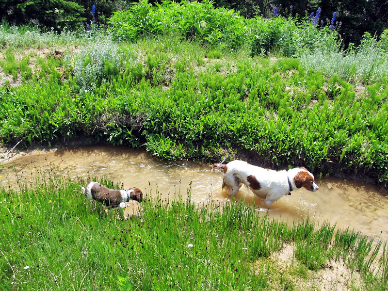
I stupidly tried taking a direct route back to the Jeep, when I should have hiked the short distance back up North Tent and followed the old road down. Instead I tried descending through some very steep and rough country to the flat below. I was stymied several times by spots that were too steep to traverse while holding a puppy, but after some careful footwork we made it to the bottom at Beck's Ditch, a small irrigation canal. There the dogs played in the water for a while then we did an easy walk along a dirt road back to the Jeep. Just as I was loading the dogs into the back seat a rumble of thunder came from the south. A rain storm was moving in and I decided to drive north on Skyline Drive, then took Potter's Canyon down to Miller Flat Road to get home. The section of Skyline Drive to the north was so rough that, in hindsight, I should have headed south into the storm. Torrey did her first big hike, Marsh Peak in the Uintas, at six months old. North Tent Mountain was a much easier hike at about 2.9 miles, but for Boulder, at nine weeks old, I'd consider it pretty big. Perhaps in the fall, when Boulder is bigger and before the snow hits, we'll be able to return and finish off South Tent.
Steep terrain between the saddle and the trailhead
Descending from the saddle
Torrey
Boulder playing follow the leader
Boulder in a meadow at the head of Reeder Canyon
The Jeep is in sight, but still so far away!
North and South Tent Mountains as a storm moves in from the south
View south into the storm
Sanpete Valley viewed from the head of the Twin Creek drainage
Penstemon in Potter's Canyon
Full photo gallery:
https://picasaweb.google.com/Dennis.Udink/NorthTentMountain
Featured image for home page: