- Joined
- May 5, 2012
- Messages
- 1,727
Burnt but standing tree trunks creak like old bones on the breeze. Bark filleted by flame, their exposed cores are bleached silver by the sun. The wind filtering through these grim stands shrieks in sorrow.
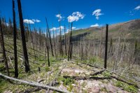
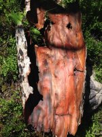
A hiker's footfalls crunch on downed and dead limbs. Big strips of bark, half-round and curling at the edge, are striped orange and black like an exotic pelt.
A startled porcupine lumbering along a gurgling stream turns a stubby head, startled. The animal hauls its prickled haunches between a rock and a bush, then stops, hoping to convince the potential predator making the clumsy approach uphill through slopes of incipient grasses that it's no more a meal than the dead wood.
Let me just say, I feel an affinity for the East Fork of the Bear.
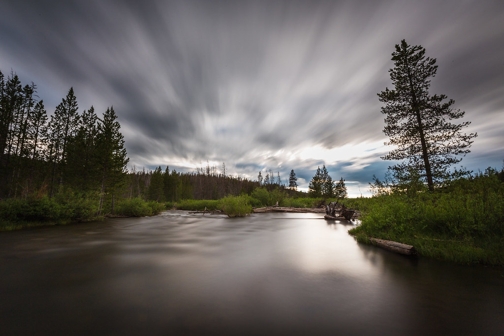 East Fork of the Bear River by ashergrey, on Flickr
This land engendered my affection during three simultaneous summers of service as a volunteer leader in the Silver Moccasin program in the 1990s.
As a young scout, the high adventure of Camp Steiner had seemed more alluring. It was there I first felt a leech on my skin while fishing mud puppies from a fetid lake. It was there I cringed awake at night in an open-sided wood shelter, feeling the terror of the most fierce dry lightning storm I've ever experienced. The azure flashes of light lit up the landscape brighter than eye with retina-burning clarity. They came simultaneous to an earth-rending crack of thunder that sounded like deep, rolling chortle from some old god of the underworld.
But as I age it's not Steiner that calls to me. It's the East Fork.
That's where I learned many important lessons on my way to adulthood. It's where I witnessed what I considered the worst of "professional" scouting, as the leadership of the Great Salt Lake Council endangered the lives of some 100 teenage boys under my care by refusing to evacuate them and their all-volunteer leaders during a ferocious June snowstorm.
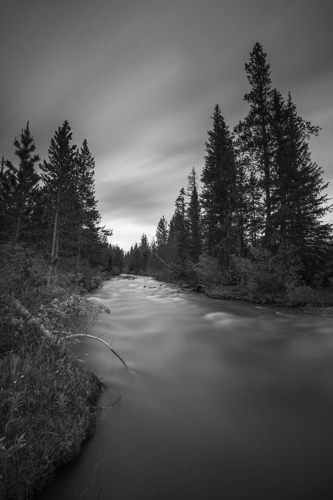
Trapper Territory by ashergrey, on Flickr
It's where I still feel the heat of anger over what others did on that same land after I turned my back on scouting. A place where, again, the professional leaders of the organization showed they don't live the principals they espouse by denying responsibility for wanton destruction of the land entrusted to them.
A place where people who love the land learn they have some messy neighbors.
There are some places where lakes and ponds seem to dot the contour lines of the Uintas like beads on a necklace. But that's not really the case on the East Fork of the Bear. Outside of Norice, Priord and Allsop Lakes, most of the bodies of water on the East Fork drainage are only unnamed ponds.
Scow Lake is an exception. It sits almost directly south of the recently-renamed Hinckley Scout Reserve on the Boundary Creek drainage, a tributary of the East Fork. My brother and I hiked to it in the spring of 2013, through the twisted aftermath of that 2002 wildfire caused by errant scouts.
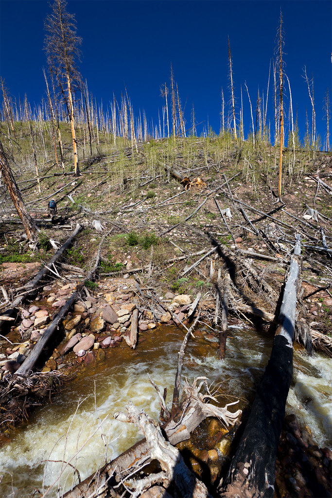
Regrowth by ashergrey, on Flickr
The "forest" there shows fewer signs of recovery than along the established trail that runs along the river at the bottom of the canyon. The Boreal Chorus Frogs were singing, at least.
Although popular with cross-country skiers in the winter due to the Boundary Creek yurt, it's pretty obvious Scow Lake sees light visitation during the warmer part of the year.
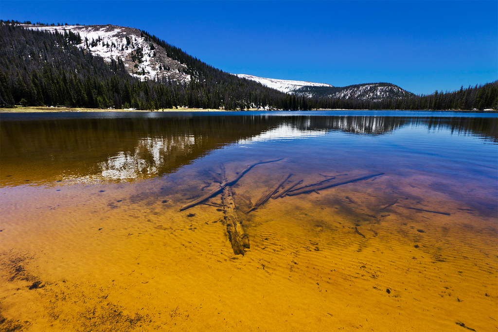 Scow Lake by ashergrey, on Flickr
While looking into the route for that hike, I noticed Lake Lorena on the topo map, tucked up in its own little hanging valley off to the the east. Searching online for information about this little lake turned up nothing. No pictures, no route descriptions. The Summitpost page for Lamotte Peak suggested an alternate descent path that would pass Lorena, but offered little more insight.
I surmised a combination of factors keep this little lake quiet. First, there's no established trail. One would have to either cross over the ridge from the Boundary Creek drainage or slog about 1,500 vertical feet up over a mere 1.5 miles from the canyon bottom. Second, the path from the main canyon would cross right through the wildfire burn scar, which means a lot of log-hopping and/or circuitous route selection. Third, people who know about it don't talk about it.
That third factor caught my attention. If it's a great little lake, people who know it are keeping the secret to themselves. If it's awful, people aren't talking about what a waste of effort it was to go up there.
So after a sublime experience in the rain at Allsop in July of 2013, I started studying the maps more carefully. On paper, it seemed that one could cross the East Fork of the Bear near the tie hack cabins, then follow the path of least resistance up the steep hill into the hanging valley.
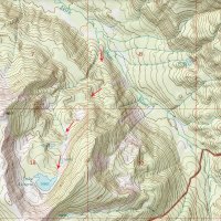
My anticipated route
Once the snow cleared from the High Uintas for 2014, I donned pack and decided to put this theory to the test. Stormy weather was clearing from the range when I arrived late on the afternoon of Friday, June 27th. Too little sunlight remained for any good hiking that day so I spent some time playing around with a new 10-stop ND filter along the river.
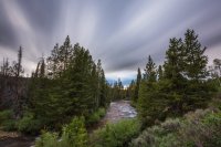
As the sun drooped, I headed over to the family property in Uintalands and settled in for the evening. A light patter of rain moved overhead, then the sun flared brilliant orange across the treetops.
The brilliant gold disappeared in mere seconds, giving way to deep blues.
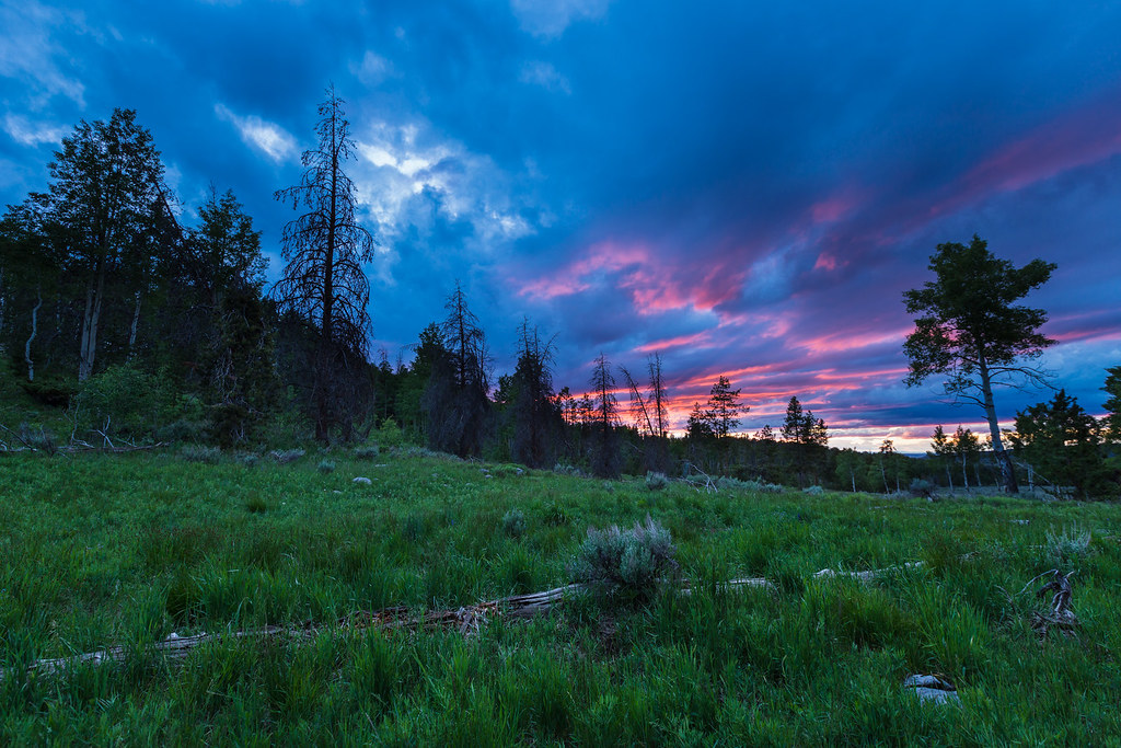 The Meadow by ashergrey, on Flickr
In the morning, the yet-rising sun illuminated the last remaining puffs of cloud.
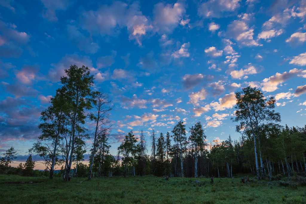 The Meadow, Morning After by ashergrey, on Flickr
The air held a dewy, chill sting in the early hours. A bit after 7 a.m. I called in to chat with the KSL Outdoor Radio guys about my goals for the weekend (excuse my fudging of the elevation numbers… the trailhead's more like 9k feet, not 8k).
[PARSEHTML]<audio controls><source src="https://dl.dropboxusercontent.com/u/3847512/Lorena_call.mp3">Your browser does not support HTML5.</audio>[/PARSEHTML]A single horse trailer sat at the trailhead. Not bad for a Saturday in late June, I reasoned. After slapping together a couple of sandwiches and tanking up on water I set out on trail.
The well-worn path to the tie hack cabins passed with ease. Temperatures were moderate and in spite of recent rain, the common boggy spots had not yet been torn up by cattle. The only obstacle were numerous downed trees. It seemed apparent that the Forest Service had not been through for maintenance yet for the season.
Once at the tie hack cabins, I scouted along the river to find a nice flat spot at which to cross. The river braids just upstream of the cabins, keeping it safe and shallow.
At the western bank, the ground rises in an immediate slope. A quick check of the GPS and compass confirmed my location and bearing. Onward and upward.
The initial climb enters direct sunlight almost as soon as a hiker clears the river-level treetops. Trees killed by the wildfire offer little protection. As around Boundary Creek, the land shows little sign of recovery more than a decade on from the devastation.
On the plus side, pathfinding up the cleared hillside does seem easier without needled branches obscuring the view. With no switchbacked trail, one has to continually crest ridge after ridge, taking care to maintain a correct course around all the deadfall.
The ground flattens a bit into a meadow at about the 10,200-foot mark. Moose tracks dotted the ground upon my passing, though I failed to spot any of the lumbering animals munching on the ample grasses. At the edge of this meadow, the trees regained their rightful appearance. At once the deforested moonscape transformed into a mature forest full of birdsong and wildflower blossoms.
Another steep hill ahead holds one of the most interesting features of the entire route.
While following a minor stream, it disappears into the hillside beneath a cloak of rocks.
Looking up to the crest of the slope, one can see the same stream pouring over the brink in a waterfall.
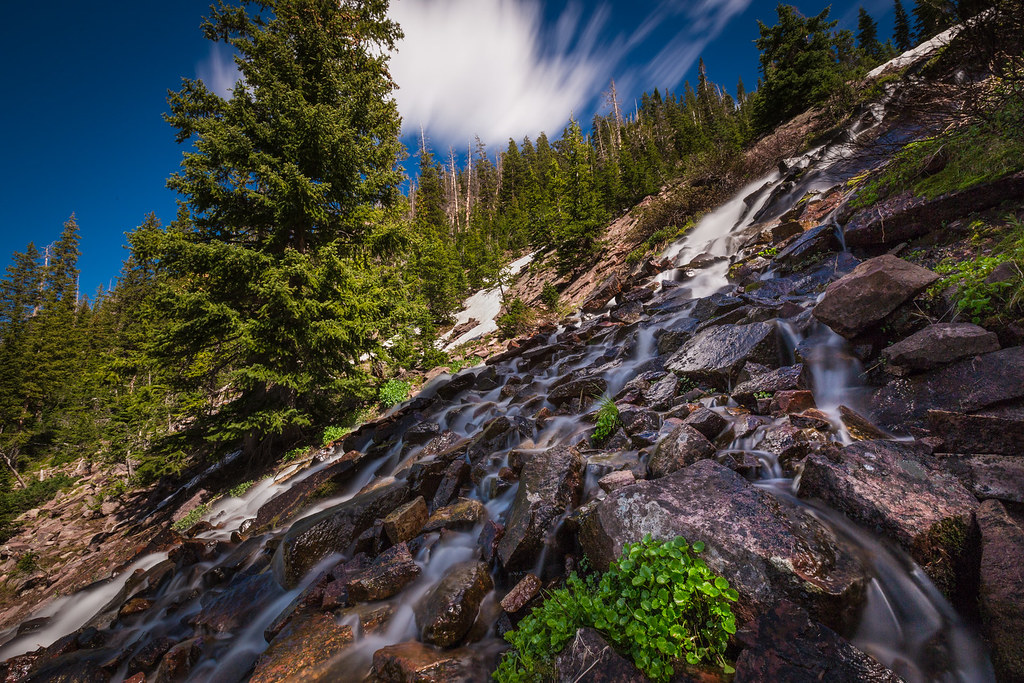 Lorena Falls by ashergrey, on Flickr
But midway down the hill that water disappears beneath the rocks. It can be heard but not seen.
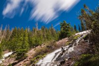
At the top of this rise sits a beautiful little pond, labeled 10,419 on the topo map.
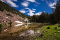
The forest has an untouched quality here.
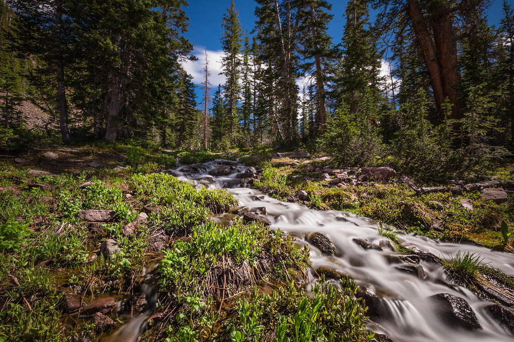 Unseen Stream by ashergrey, on Flickr
Another push up yet another hill leads at last to Lake Lorena.
[PARSEHTML]<iframe src="http://www.mappingsupport.com/p/gmap4.php?q=https://dl.dropboxusercontent.com/u/3847512/GPS/Lake_Lorena.kml&t=t4" frameborder="0" marginheight="0" scrolling="no" width="800" height="800"></iframe><br><br>[/PARSEHTML]Not obvious from the topo map or satellite imagery of this little basin are the morainal piles surrounding the lake. In fact, the entire hanging valley shows fascinating evidence of glaciation.

The lake's north shore is rocky and wooded. It was full to the brim, which meant getting around required taking path through the thick brush. A handful of campsites were spread out along the lake, some showing signs of recent use (to the moron who camped at one such site previously: your aluminum Rockstar can didn't burn, but thanks for leaving it in the fire ring).
I found a nice open spot on a thumb protruding into the lake from the west.
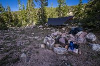
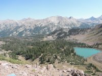
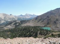
Upon pitching camp, under waning daylight, I hiked up the boulders above the lake for a panoramic view.
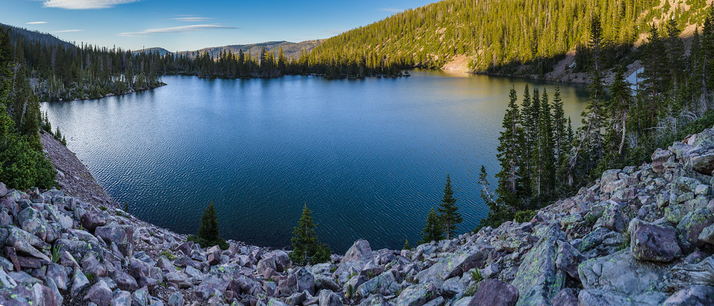 Lake Lorena pano by ashergrey, on Flickr
Back down at camp, juvenile mosquitos swarmed in the setting sun.
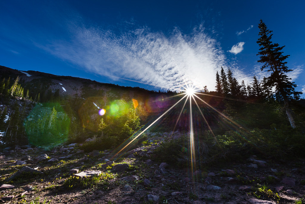 Sundown at Lorena by ashergrey, on Flickr
Few had the ability to bite yet. Still, they clouded the air around my face, leading to much hand-waving and cursing. Just brushing by a pine bow would send hundreds of little insects tumbling on the breeze.
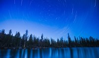
Night fell and the sky darkened.
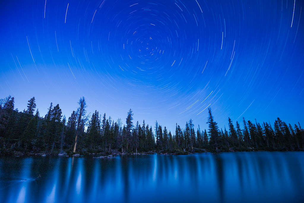 Stars over Lake Lorena by ashergrey, on Flickr
Just one night off the new moon, there existed no light in the sky to wash out the beautiful streak of the Milky Way.
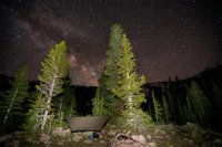
A cold breeze ran through the tops of the pines, making them whine and sway. The hammock shelter held firm.
Sunday dawned clear, leaving me unwilling to crawl out into the cold for photos. Rather than retrace my steps with precision, I chose to see a bit more of the basin on the way back down to the East Fork trail. This took me through some beautiful forest, but also presented challenges in getting safely down a few steep hills.
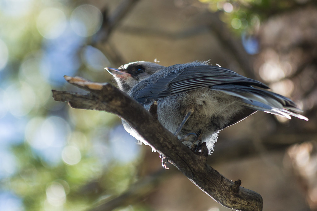 Songbird in the Pines by ashergrey, on Flickr
I also discovered a few hundred feet one direction or another makes quite a bit of difference when descending the last hill down to river level. Go too far south and the grade of the slope proves quite challenging.
The trailhead had a beautiful, vacant appearance when I arrived.
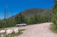
From the first step to the last on trail this trip, I did not see another soul. The lake basin proved its scenic value and, while it's not the most dramatic mountain vista in the range, proved it warrants more visitation than it sees.
[PARSEHTML]<iframe src="http://www.mappingsupport.com/p/gmap4.php?q=https://dl.dropboxusercontent.com/u/3847512/GPS/Lorena_return.kml&t=t4" frameborder="0" marginheight="0" scrolling="no" width="800" height="800"></iframe><br><br>[/PARSEHTML]Featured image for home page:

A hiker's footfalls crunch on downed and dead limbs. Big strips of bark, half-round and curling at the edge, are striped orange and black like an exotic pelt.

A startled porcupine lumbering along a gurgling stream turns a stubby head, startled. The animal hauls its prickled haunches between a rock and a bush, then stops, hoping to convince the potential predator making the clumsy approach uphill through slopes of incipient grasses that it's no more a meal than the dead wood.
Let me just say, I feel an affinity for the East Fork of the Bear.
 East Fork of the Bear River by ashergrey, on Flickr
This land engendered my affection during three simultaneous summers of service as a volunteer leader in the Silver Moccasin program in the 1990s.

As a young scout, the high adventure of Camp Steiner had seemed more alluring. It was there I first felt a leech on my skin while fishing mud puppies from a fetid lake. It was there I cringed awake at night in an open-sided wood shelter, feeling the terror of the most fierce dry lightning storm I've ever experienced. The azure flashes of light lit up the landscape brighter than eye with retina-burning clarity. They came simultaneous to an earth-rending crack of thunder that sounded like deep, rolling chortle from some old god of the underworld.
But as I age it's not Steiner that calls to me. It's the East Fork.
That's where I learned many important lessons on my way to adulthood. It's where I witnessed what I considered the worst of "professional" scouting, as the leadership of the Great Salt Lake Council endangered the lives of some 100 teenage boys under my care by refusing to evacuate them and their all-volunteer leaders during a ferocious June snowstorm.

Trapper Territory by ashergrey, on Flickr
It's where I still feel the heat of anger over what others did on that same land after I turned my back on scouting. A place where, again, the professional leaders of the organization showed they don't live the principals they espouse by denying responsibility for wanton destruction of the land entrusted to them.
A place where people who love the land learn they have some messy neighbors.

There are some places where lakes and ponds seem to dot the contour lines of the Uintas like beads on a necklace. But that's not really the case on the East Fork of the Bear. Outside of Norice, Priord and Allsop Lakes, most of the bodies of water on the East Fork drainage are only unnamed ponds.
Scow Lake is an exception. It sits almost directly south of the recently-renamed Hinckley Scout Reserve on the Boundary Creek drainage, a tributary of the East Fork. My brother and I hiked to it in the spring of 2013, through the twisted aftermath of that 2002 wildfire caused by errant scouts.

Regrowth by ashergrey, on Flickr
The "forest" there shows fewer signs of recovery than along the established trail that runs along the river at the bottom of the canyon. The Boreal Chorus Frogs were singing, at least.
Although popular with cross-country skiers in the winter due to the Boundary Creek yurt, it's pretty obvious Scow Lake sees light visitation during the warmer part of the year.
 Scow Lake by ashergrey, on Flickr
While looking into the route for that hike, I noticed Lake Lorena on the topo map, tucked up in its own little hanging valley off to the the east. Searching online for information about this little lake turned up nothing. No pictures, no route descriptions. The Summitpost page for Lamotte Peak suggested an alternate descent path that would pass Lorena, but offered little more insight.
I surmised a combination of factors keep this little lake quiet. First, there's no established trail. One would have to either cross over the ridge from the Boundary Creek drainage or slog about 1,500 vertical feet up over a mere 1.5 miles from the canyon bottom. Second, the path from the main canyon would cross right through the wildfire burn scar, which means a lot of log-hopping and/or circuitous route selection. Third, people who know about it don't talk about it.
That third factor caught my attention. If it's a great little lake, people who know it are keeping the secret to themselves. If it's awful, people aren't talking about what a waste of effort it was to go up there.
So after a sublime experience in the rain at Allsop in July of 2013, I started studying the maps more carefully. On paper, it seemed that one could cross the East Fork of the Bear near the tie hack cabins, then follow the path of least resistance up the steep hill into the hanging valley.

My anticipated route
Once the snow cleared from the High Uintas for 2014, I donned pack and decided to put this theory to the test. Stormy weather was clearing from the range when I arrived late on the afternoon of Friday, June 27th. Too little sunlight remained for any good hiking that day so I spent some time playing around with a new 10-stop ND filter along the river.

As the sun drooped, I headed over to the family property in Uintalands and settled in for the evening. A light patter of rain moved overhead, then the sun flared brilliant orange across the treetops.

The brilliant gold disappeared in mere seconds, giving way to deep blues.
 The Meadow by ashergrey, on Flickr
In the morning, the yet-rising sun illuminated the last remaining puffs of cloud.
 The Meadow, Morning After by ashergrey, on Flickr
The air held a dewy, chill sting in the early hours. A bit after 7 a.m. I called in to chat with the KSL Outdoor Radio guys about my goals for the weekend (excuse my fudging of the elevation numbers… the trailhead's more like 9k feet, not 8k).
[PARSEHTML]<audio controls><source src="https://dl.dropboxusercontent.com/u/3847512/Lorena_call.mp3">Your browser does not support HTML5.</audio>[/PARSEHTML]A single horse trailer sat at the trailhead. Not bad for a Saturday in late June, I reasoned. After slapping together a couple of sandwiches and tanking up on water I set out on trail.
The well-worn path to the tie hack cabins passed with ease. Temperatures were moderate and in spite of recent rain, the common boggy spots had not yet been torn up by cattle. The only obstacle were numerous downed trees. It seemed apparent that the Forest Service had not been through for maintenance yet for the season.
Once at the tie hack cabins, I scouted along the river to find a nice flat spot at which to cross. The river braids just upstream of the cabins, keeping it safe and shallow.
At the western bank, the ground rises in an immediate slope. A quick check of the GPS and compass confirmed my location and bearing. Onward and upward.
The initial climb enters direct sunlight almost as soon as a hiker clears the river-level treetops. Trees killed by the wildfire offer little protection. As around Boundary Creek, the land shows little sign of recovery more than a decade on from the devastation.

On the plus side, pathfinding up the cleared hillside does seem easier without needled branches obscuring the view. With no switchbacked trail, one has to continually crest ridge after ridge, taking care to maintain a correct course around all the deadfall.
The ground flattens a bit into a meadow at about the 10,200-foot mark. Moose tracks dotted the ground upon my passing, though I failed to spot any of the lumbering animals munching on the ample grasses. At the edge of this meadow, the trees regained their rightful appearance. At once the deforested moonscape transformed into a mature forest full of birdsong and wildflower blossoms.

Another steep hill ahead holds one of the most interesting features of the entire route.

While following a minor stream, it disappears into the hillside beneath a cloak of rocks.

Looking up to the crest of the slope, one can see the same stream pouring over the brink in a waterfall.
 Lorena Falls by ashergrey, on Flickr
But midway down the hill that water disappears beneath the rocks. It can be heard but not seen.

At the top of this rise sits a beautiful little pond, labeled 10,419 on the topo map.

The forest has an untouched quality here.
 Unseen Stream by ashergrey, on Flickr
Another push up yet another hill leads at last to Lake Lorena.
[PARSEHTML]<iframe src="http://www.mappingsupport.com/p/gmap4.php?q=https://dl.dropboxusercontent.com/u/3847512/GPS/Lake_Lorena.kml&t=t4" frameborder="0" marginheight="0" scrolling="no" width="800" height="800"></iframe><br><br>[/PARSEHTML]Not obvious from the topo map or satellite imagery of this little basin are the morainal piles surrounding the lake. In fact, the entire hanging valley shows fascinating evidence of glaciation.

The lake's north shore is rocky and wooded. It was full to the brim, which meant getting around required taking path through the thick brush. A handful of campsites were spread out along the lake, some showing signs of recent use (to the moron who camped at one such site previously: your aluminum Rockstar can didn't burn, but thanks for leaving it in the fire ring).
I found a nice open spot on a thumb protruding into the lake from the west.

Upon pitching camp, under waning daylight, I hiked up the boulders above the lake for a panoramic view.
 Lake Lorena pano by ashergrey, on Flickr
Back down at camp, juvenile mosquitos swarmed in the setting sun.
 Sundown at Lorena by ashergrey, on Flickr
Few had the ability to bite yet. Still, they clouded the air around my face, leading to much hand-waving and cursing. Just brushing by a pine bow would send hundreds of little insects tumbling on the breeze.
Night fell and the sky darkened.
 Stars over Lake Lorena by ashergrey, on Flickr
Just one night off the new moon, there existed no light in the sky to wash out the beautiful streak of the Milky Way.

A cold breeze ran through the tops of the pines, making them whine and sway. The hammock shelter held firm.
Sunday dawned clear, leaving me unwilling to crawl out into the cold for photos. Rather than retrace my steps with precision, I chose to see a bit more of the basin on the way back down to the East Fork trail. This took me through some beautiful forest, but also presented challenges in getting safely down a few steep hills.
 Songbird in the Pines by ashergrey, on Flickr
I also discovered a few hundred feet one direction or another makes quite a bit of difference when descending the last hill down to river level. Go too far south and the grade of the slope proves quite challenging.
The trailhead had a beautiful, vacant appearance when I arrived.

From the first step to the last on trail this trip, I did not see another soul. The lake basin proved its scenic value and, while it's not the most dramatic mountain vista in the range, proved it warrants more visitation than it sees.
[PARSEHTML]<iframe src="http://www.mappingsupport.com/p/gmap4.php?q=https://dl.dropboxusercontent.com/u/3847512/GPS/Lorena_return.kml&t=t4" frameborder="0" marginheight="0" scrolling="no" width="800" height="800"></iframe><br><br>[/PARSEHTML]Featured image for home page:

Last edited:

