- Joined
- Aug 9, 2007
- Messages
- 12,962
July 2005
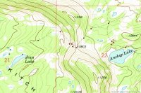
This is a trip I had been thinking about for a while. The route we took involves driving up the incredibly steep and rough Garder's Fork Road and then hiking overland past several lakes to Anchor Lake. There is a trail for the first mile or so but nothing after that so you have to be prepared to use a map/compass/GPS to get where you're going. It's not obvious.
We started our trip from the Gardner's Fork trailhead at the top of Weber Canyon. The main trailhead is miles away from where we start. To proceed onto the real trailhead it involved driving through this river.
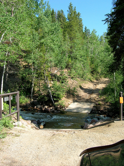
The road up this was probably the roughest, steepest, scariest dirt road I've ever been on. Those of you that know me well know the strength of that statement. It was so bad in such a good way. This trip was the last trip before I sold my trusty Taco.
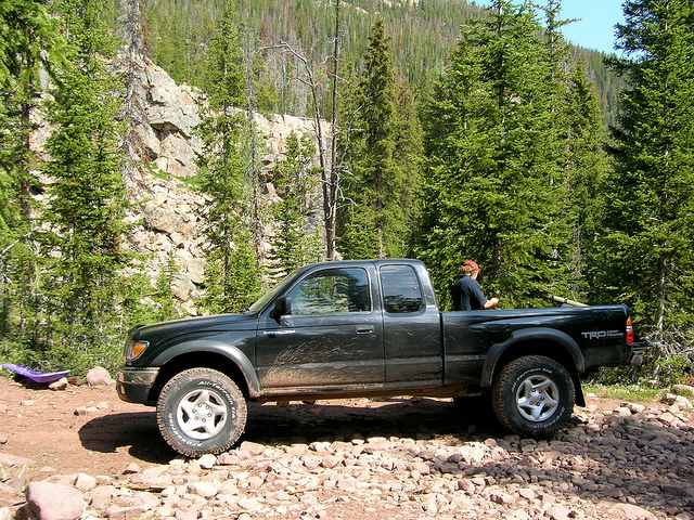
The unofficial trailhead. The road kept going on the other side of the road block but I doubt most vehicles could have made it. This picture does not do the steepness of the slope justice.
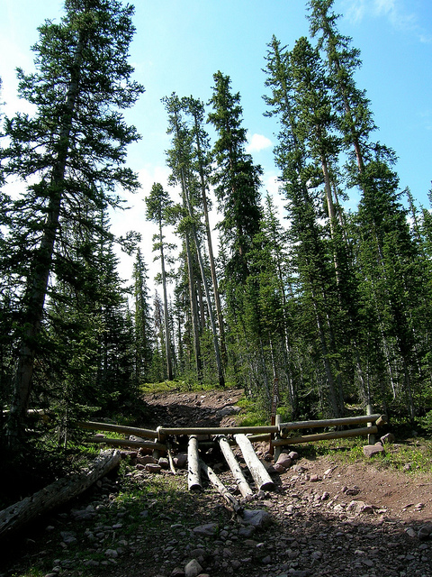
Taylor making his way towards our first lake of the trip. This is about a mile from the car, just after the trail peters out.
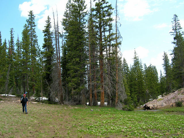
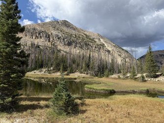
This was the first lake on the hike, just about a mile in, it has no name. Taylor is trying out my new Sage 4-Piece fly rod.
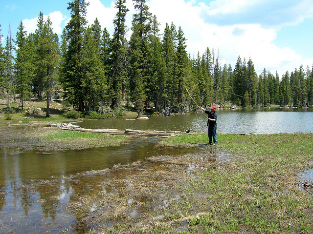
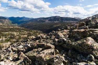
There was a trail to the first lake but after that it was all about the map and GPS. This was the route to the next lake. Very tricky boulder hopping, many of these were the size of cars.
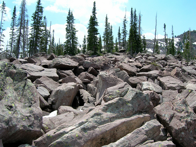
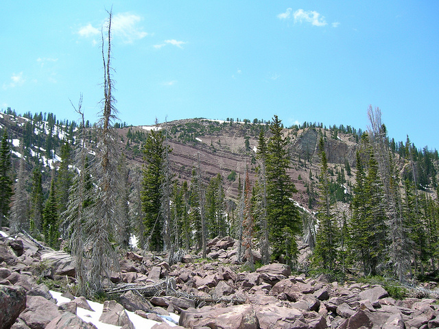
Looking up at the ridge from the boulder field, Hell's Kitchen and Ledgefork are on the other side.
I am a complete idiot. I just walked past two awesome lakes and didn't take a picture. I'll tell you this though, Rhodes Lake would make a FINE place to camp. This is at the high point of the trip before I passed over to Anchor Lake. Now that is some rapid snow melt.
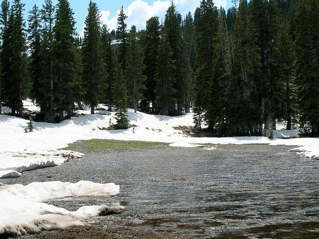
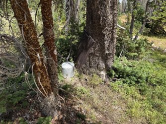
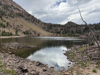
My first view of Anchor Lake. I forgot to mention that Taylor was being difficult and pretty mutch ditched me several miles ago. I was really hoping he was already here. I yelled a few times and heard a whistle coming from the lake. I found Taylor. Yay. More importantly I found the stove and the water filter Anchor Lake was still frozen over about 75%. Pretty strange for July 5.
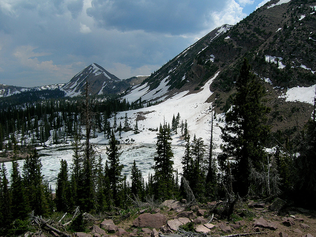
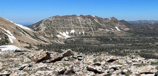
A Panoramic over Anchor Lake. In the background from left to right is Mount Watson, Haystack Mountain and Long Peak. Like I said before, I am an idiot and somehow I never took a picture AT the lake. I'll blame it on the fact that Taylor and I weren't really getting along.

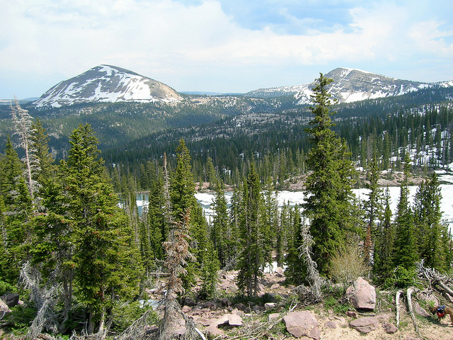
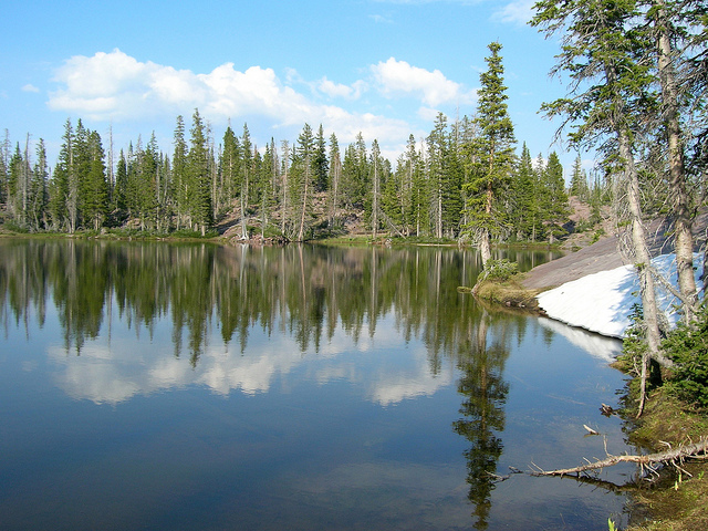
And once again I suck and didn't take pictures actually at Anchor Lake! It was really cool though. You couldn't cast a line into it without catching a fish. Literally. We were casting in and around sheets of ice so it made presentation easy. Kind of fun to drag little brookies across the ice too. We spent a night there and the next day we hiked a mile and half to this wonderful unnamed lake known only as 'W-59'
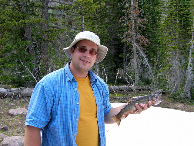
The fishing was awesome at W-59. And unlike at Anchor the fish were huge as far as Brook Trout go. I caught this fat brookie, roughly 15 inches
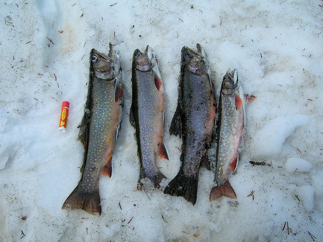
We kept a few for dinner.
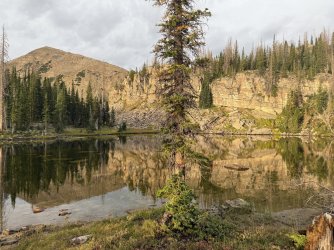
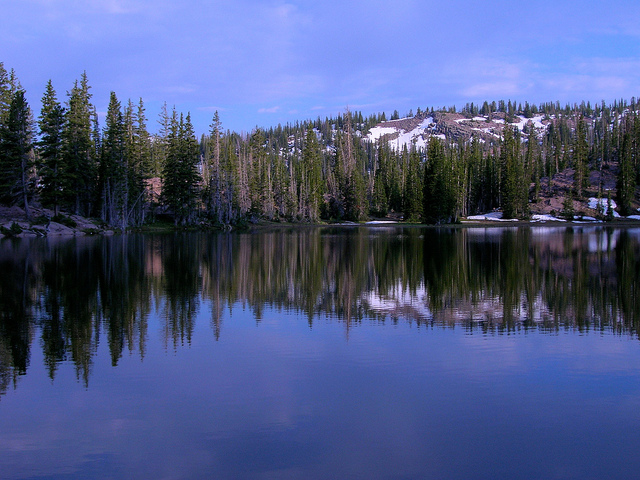
W-59 at dusk
Another of W-59 in the twilight
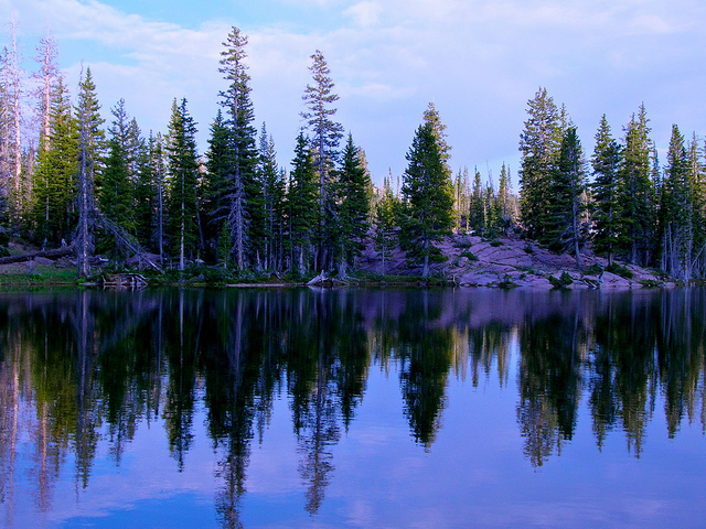
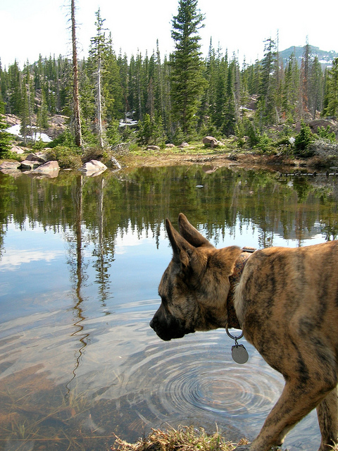
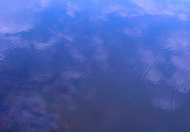
The reflections off the water were nice. The next day I kept sucking at taking pictures during the hike out. Nothing particularly eventful other than Nikita tried to take down an Elk. That was neat.
This is a trip I had been thinking about for a while. The route we took involves driving up the incredibly steep and rough Garder's Fork Road and then hiking overland past several lakes to Anchor Lake. There is a trail for the first mile or so but nothing after that so you have to be prepared to use a map/compass/GPS to get where you're going. It's not obvious.
We started our trip from the Gardner's Fork trailhead at the top of Weber Canyon. The main trailhead is miles away from where we start. To proceed onto the real trailhead it involved driving through this river.

The road up this was probably the roughest, steepest, scariest dirt road I've ever been on. Those of you that know me well know the strength of that statement. It was so bad in such a good way. This trip was the last trip before I sold my trusty Taco.

The unofficial trailhead. The road kept going on the other side of the road block but I doubt most vehicles could have made it. This picture does not do the steepness of the slope justice.

Taylor making his way towards our first lake of the trip. This is about a mile from the car, just after the trail peters out.

This was the first lake on the hike, just about a mile in, it has no name. Taylor is trying out my new Sage 4-Piece fly rod.

There was a trail to the first lake but after that it was all about the map and GPS. This was the route to the next lake. Very tricky boulder hopping, many of these were the size of cars.

Looking up at the ridge from the boulder field, Hell's Kitchen and Ledgefork are on the other side.

I am a complete idiot. I just walked past two awesome lakes and didn't take a picture. I'll tell you this though, Rhodes Lake would make a FINE place to camp. This is at the high point of the trip before I passed over to Anchor Lake. Now that is some rapid snow melt.

My first view of Anchor Lake. I forgot to mention that Taylor was being difficult and pretty mutch ditched me several miles ago. I was really hoping he was already here. I yelled a few times and heard a whistle coming from the lake. I found Taylor. Yay. More importantly I found the stove and the water filter

A Panoramic over Anchor Lake. In the background from left to right is Mount Watson, Haystack Mountain and Long Peak. Like I said before, I am an idiot and somehow I never took a picture AT the lake. I'll blame it on the fact that Taylor and I weren't really getting along.


And once again I suck and didn't take pictures actually at Anchor Lake! It was really cool though. You couldn't cast a line into it without catching a fish. Literally. We were casting in and around sheets of ice so it made presentation easy. Kind of fun to drag little brookies across the ice too. We spent a night there and the next day we hiked a mile and half to this wonderful unnamed lake known only as 'W-59'


The fishing was awesome at W-59. And unlike at Anchor the fish were huge as far as Brook Trout go. I caught this fat brookie, roughly 15 inches

We kept a few for dinner.

W-59 at dusk

Another of W-59 in the twilight

The reflections off the water were nice. The next day I kept sucking at taking pictures during the hike out. Nothing particularly eventful other than Nikita tried to take down an Elk. That was neat.


