Weird Map Stuff

Noun Sequitur

My Feet Hurt
Joined
Oct 24, 2012
Messages
360
Crappy day at work folks! Please, for the love of all that is good and holy, someone post something cool, quick!

I'll start. So with the advent of Google Maps (aka backcountrypost.com maps), I've found tons of cool and weird stuff begging to be explored. So I (we) am (are) going to post some screen grabs for discussion. Then, if anyone has a pic of what the area actually looks like from the ground, please post it so we can solve these mysteries. Ready? My current theme is 'strange arcs and circles'.

Everyone knows Upheaval Dome:
upheaval.jpg

But here's a cool one I never would have noticed from the ground. Note how the Behind-the-rocks area near Moab seams to circle around a mysterious focus point. Alien landing site? Energy portal? Dimensional rift? Or just a boring geological explaination? Who knows? Whatever it is, it's a great excuse to go and investigate!
behindtherocks.jpg

Right across the valley near Kens Lake is another mysterious arc:
Mill Creek.jpg

Needles is full of them. The Grabens:
Grabens.jpg

And another double arc a bit to the East:
Needles.jpg

So have you found any wild and crazy stuff on teh map that needs to be investigated?
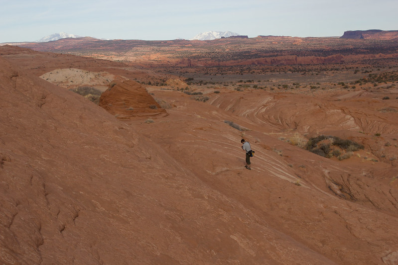
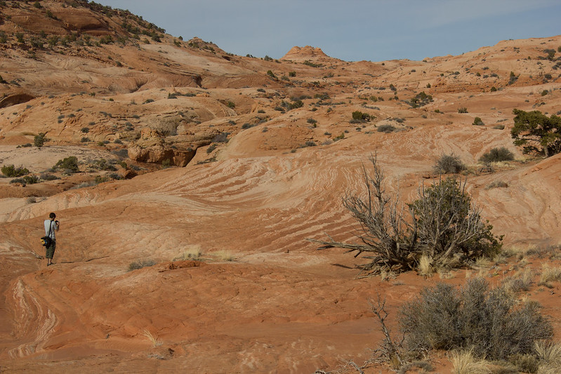
 
The aerial of Antelope Canyon is pretty wild. It's such a huge open wash, then it's just a tiny slot for a short bit, then huge open wash again...

Screen Shot 2013-02-01 at 4.57.13 PM.png
 
  • Like
Reactions: Ben
Wow I didn't know that, looks different than all the pictures :) I see the wash goes on for quite a ways and slots up a couple more times after that.
 
According to the latest Google Terrain View, the silt problem in Lake Powell is worse than anyone ever guessed! :lol:

Screen Shot 2013-08-27 at 4.59.42 PM.png

I guess there's no need for the ferry anymore...
Screen Shot 2013-08-27 at 5.00.10 PM.png
 
  • Like
Reactions: Ben
I almost made it to this spot on a trip in June, but came up a bit short. It's just begging to be explored. I'm sure people have explored it, but I think it's more popular for guys with ropes. It's just south of the confluence of The Gulch, and the Escalante river.

here basically.


View Larger Map


Spencer canyon! I think there's a walking route in.
 
Yeah this whole area is super fascinating. I haven't spent enough time there. Going to be in the vicinity this coming weekend but the forecast looks poor for slot canyons! Storm-friendly hiking ideas appreciated.
 
Yeah this whole area is super fascinating. I haven't spent enough time there. Going to be in the vicinity this coming weekend but the forecast looks poor for slot canyons! Storm-friendly hiking ideas appreciated.

The roads would be my biggest concern, but good storms mean great weather watching. The best, and biggest variety of clouds come out for monsoon season. The Redbreaks area would be fine, as long as you hung out on the plateau and not the slots. The slots were really fun though. I thought the Escalvcano-Cosmic Navel-Cosmic Ashtray-thing was cool enough to warrant the hike, but the whole hike was incredible.


Red Breaks Henry BeeHive GSENM by slc_dan, on Flickr


Red Breaks mesa 3 GSENM by slc_dan, on Flickr
 
Dan, the Red Breaks mesa area looks really nice. Yeah, not much we can do about the roads except be ready to wait a while...
 
I measured it's wing span on GE and it says 52'. A Cessna Caravan, which that looks very similar to, has a 52' wing span: http://cessna.txtav.com/en/caravan/cessna-caravan

Obviously it could be a smaller plane and flying above the ground would throw off the measurement, but even if it was a 30' wing span, that thing is still flying way close to the ground.

Length matches the Cessna Caravan too. What the hell... Try measuring a football field with the GE measuring tool. It's phenomenally accurate.
 
What's the dating on the imagery?

Edit: Google Maps just says 2015. But it's recent, in any case. The shadows under the wing and elevator tell me it's on the ground.

Edit 2: Google Earth has a date of 4/6/2015.
 
Last edited:
It's too bad we can't see an N-number. I just checked the NTSB incident reports database and didn't see anything that matches. Google Earth imagery says it happened between 2013 and last April, if indeed something happened at all.
 
Similar threads
Thread starter Title Forum Replies Date
DiscGo Weird Twangy Sound During Descent General Discussion 4
fossana Favorite map resources General Discussion 17
W Paper map for Teton Wilderness (Younts Peak) Gear 4
Bob Smoke Map ........ 2023 Trip Planning 24
J Needles Dist 2022 BC Zone Map Resource Discussions 1
kansas Good map of Grand Canyon-Parashant National Monument? Trip Planning 5
Bob Drought map General Discussion 6
fossana Anyone know what happened to the USGS topo map API? General Discussion 12
Bob Map Download for Avenza Trip Planning 0
blueeyes What does this mean on a map? Trip Planning 9
3 Grand Canyon Traverse - Map? Trip Planning 0
N Caltopo map scale for backpacking trip Resource Discussions 7
Artemus Grizzly Bear Expansion Map General Discussion 23
Mike Jones Built a Custom Map Board for protecting my maps while hiking Gear 9
Nick New Snotel Map Resource General Discussion 4
DrNed Map for Coyote Gulch Trip Planning 6
Jammer Across Utah Map Trip Planning 7
Aldaron Trimble Map/Battery Gear 6
Aldaron Open Street Map General Discussion 5
Nick Uintas Mega Map Trip Planning 28
uintahiker Map Exchange Trip Planning 1
intuitive cat Escalante River System Springs & Surface Water Map Trip Planning 6
westy Stuff to let go - pack, tent, jacket Gear Market: Buy, Sell, Trade 0
C The Wave and stuff Trip Reports 6
Mikjik86 Good car camping? Stuff to do near Goblin Valley area Feb 24,25,26? Trip Planning 15
Bob Klymit stuff Gear 6
Parma Stuff, roll, or fold Gear 23
Tye Dye Twins Where to Post Backcountry skiing stuff? Questions, Suggestions & Support 8

Similar threads

Back
Top