Adventures With BeeGee
Regular Guy
- Joined
- Aug 3, 2014
- Messages
- 28
BackpackingGoodwater Loop
Today’s trip report will cover our second time at Good Water Loop in Georgetown, TX. On our first trip, Jack and I tried to mountain bike the trail and failed and you can read about it here. This week’s team consisted of BeeGee (her first big trip of the season), Jack (my brother), and Dustin (my cousin).
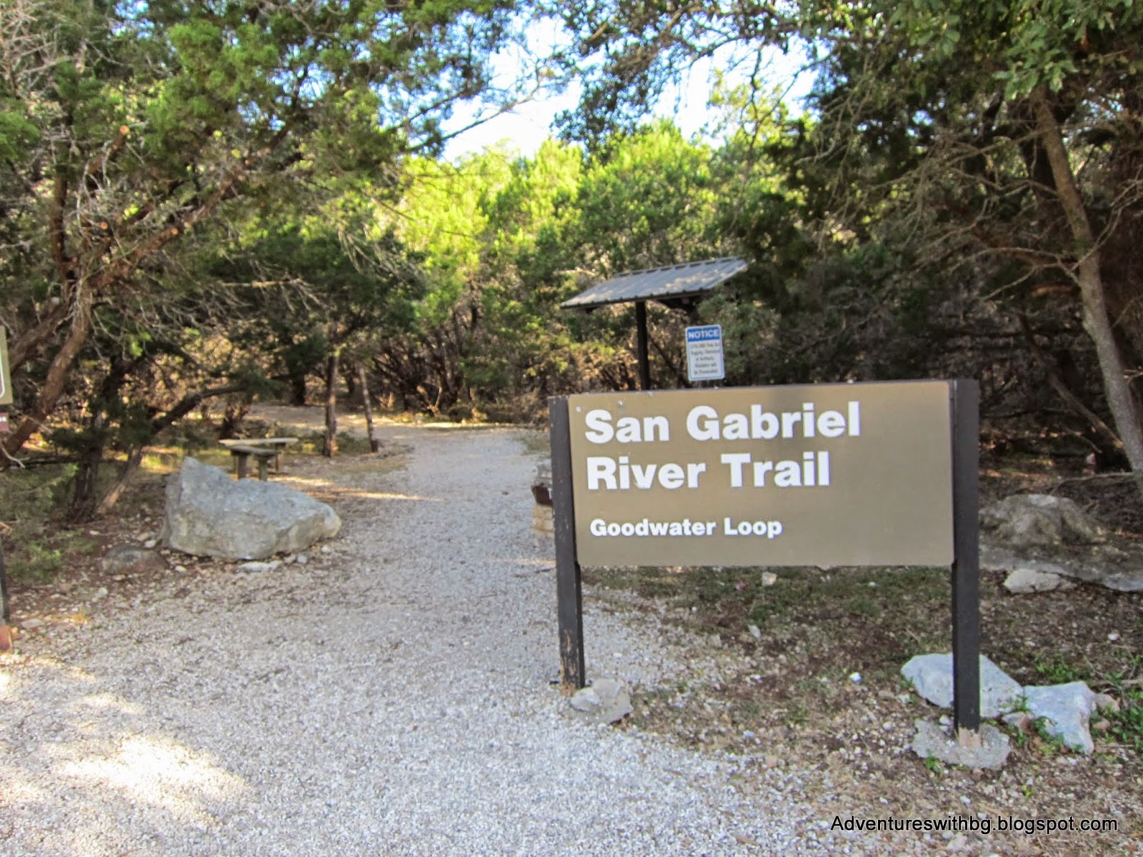
Goodwater Loop Trailhead at Cedar Breaks Park
Originally, our group planned a biking/hiking trip to Matagorda Island,but bad weather forced us to switch up plans at the last second. The trip started in the evening of Friday the 19th of September and ended at noon on the 21st. For being a weekend trip, this turned out to be one of the harder hikes I’ve ever done.
The Background
Location: 2100 Cedar Breaks Rd, Georgetown, TX 78633
Admission:$5 admission and $20 campsites
Elevation:790 to 950 ft
Weather: Sunny and hot, 84 to 96 F
Difficulty: Difficult
Website: https://files.georgetown.org/goodwater-loop-at-lake-georgetown/
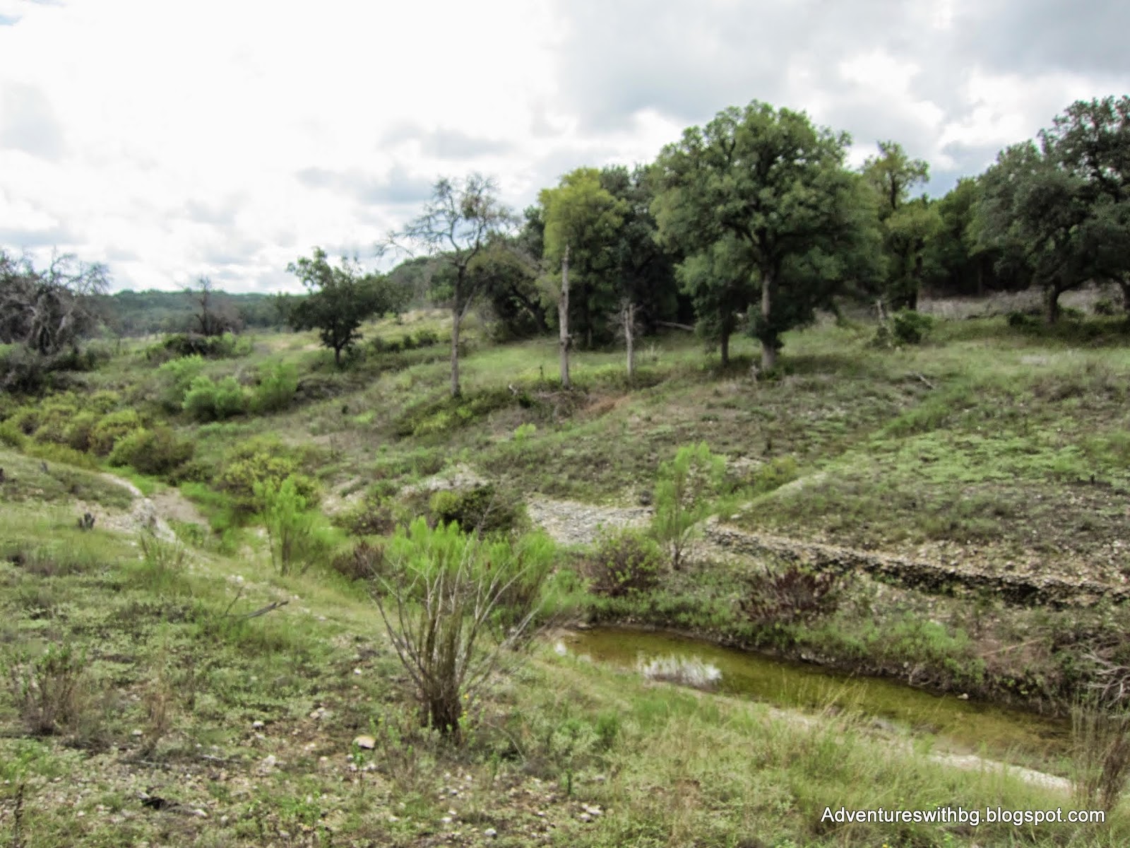
Goodwater Loop is a 26-mile trail that loops around Lake Georgetown in Georgetown, Texas. The trail varies from dirt path to rocky limestone and travels through juniper trees, oak trees, and grasslands. The lake and trail are maintained by the Army Corp of Engineers. In addition, there are multiple parks available along the trail with potable water available. Finally, the multiple parks can be used to create shorter hikes that allow Goodwater to be hiked in sections.
Goodwater Loop Day 1
We started our hike at the Cedar Breaks Trailhead and headed clockwise. This is the same way we started our first trip to Goodwater. We started the hike late in the day, around 3:30 PM because of the travel time for everyone to meetup. The trail begins as a graveled path for about half a mile and then becomes a mix of limestone rocks and dirt. While it didn’t rain on us, it had rained earlier in the day so it was humid out and the trail was a little muddy.
Just short of a mile in, the trip almost had to be cancelled. As a result of the humidity and being super excited, I thought BeeGee had flipped her stomach. BeeGee had been running around as much as she was able and became overheated. We took a break and she drank almost 1 liter of water as fast she could. I noticed she was rolling around in the dirt, making little whimpers, and looked very bloated. At this point, I was pretty certain she had flipped her stomach and need to see a vet quickly. BeeGee and I started to walk out but she was slow and walking weird, so carried her as much as I could back to the car. Thankfully, when I set her down once, she burped a couple of times and went to the restroom. This resulted in her looking normal sized again and the bloating was gone.
At around 4:30 PM we regrouped and the hike began again. We quickly made it to mile 1 and saw the familiar cliffs overlooking the lake. Even after the rains, Lake Georgetown was still extremely low. Around mile 3, the trail heads into grasslands before reaching Crockett Garden and Crockett Creek. On this trip,we actually made our way down to Crockett falls and it was an amazing view despite the smell coming from a dead skunk. If didn't need to walk so far that day, it would have made an good campsite.
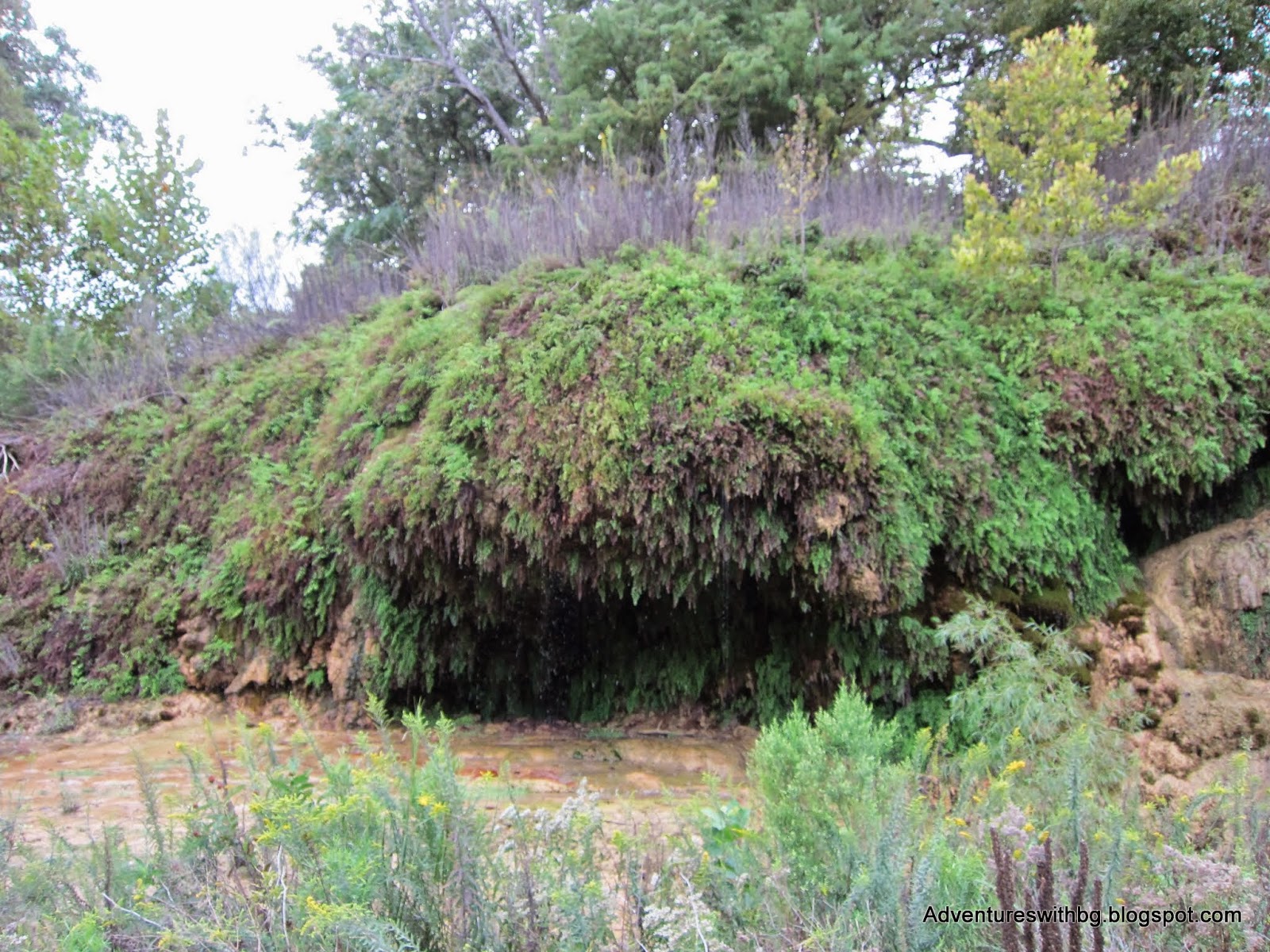
The amazing Crockett Falls
By this time, the sun was getting low and we pushed hard through miles 4 and 5 so we could get to Cedar Hollow Camp and set up our site with some light left. The path to Cedar Hollow takes you about .25 miles away from Goodwater Loop. Once we finally made it, Cedar Hollow is on the lake shores, on open flat ground, and in bad shape. There is no potable water(the camp is close to the lake though) and all of the grills were knocked down and full of trash. However, there were plenty of picnic tables and food hanging poles still in working condition. Plus, the vault toilet housing was completely destroyed, but if you don’t mind a bathroom break in the open, the toilets are still sturdy enough to use. After a brief break, we decided to push on to the next campsite in the hopes it had potable water (some of our team had never used a water filter and were a little nervous about it).
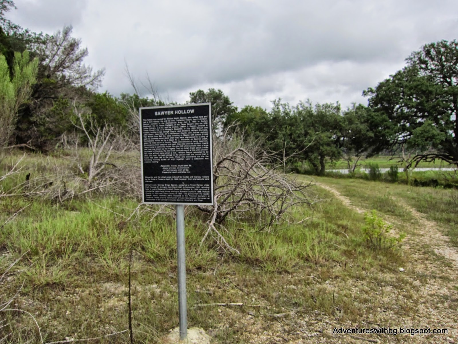
We begin walking through Cedar Hollow and quickly realized that there is no connection with Goodwater and had to backtrack to get back on the trail. We picked up the pace even more for miles 6 and 7, and part of the hike was in the dark. If you’ve ever hiked in the dark, it is a rewarding experience, but increases the likelihood of a rolled ankle. Around mile 7, we found a .25-mile path that led us to Sawyer Hollow Camp. The camp was tucked away in the woods on sloped ground away from the lake. The camp was small but overall in good condition. There was no potable water and no easy way to get back down to the lake. Furthermore,the housing for the vault toilets was still standing so there is bathroom privacy at Sawyer Hollow.
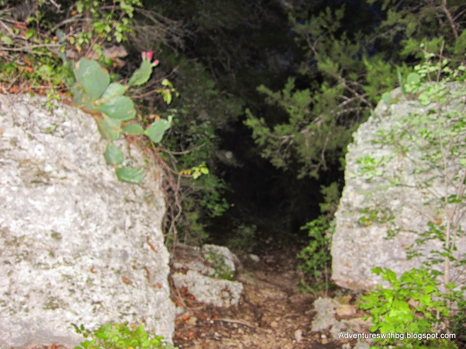
Passing through rocks on our night hike
We set up camp in the dark, not everyone had practiced setting up their shelters so it was a little extra fun, but we got it taken care of. In addition, we were super low on water and made multiple attempts to make it down to the lake in the dark. All of the lake attempts failed and we remained low on water. Everyone had a good first night of sleep except for Jack. I lent Jack my hammock, which he didn’t enjoy and he ended up sleeping on a picnic table.
Sawyer Hollow Camp: looking back on our way out
Goodwater Loop Day 2
BeeGee, Dustin, and I woke up feeling refreshed; however, Jack woke up feeling sick (my guess is from allergies). We got Jack a cocktail of medicine, while Dustin attempted to find a path to the lake, which failed. This is the point that BeeGee skunk and was sprayed. She remains a little stinky to this day. Eventually,Dustin and I found a way to the lake and we filtered water for everyone. We finally made breakfast, got an extraction set up for sick Jack, and left Sawyer Hollow around 11 AM.
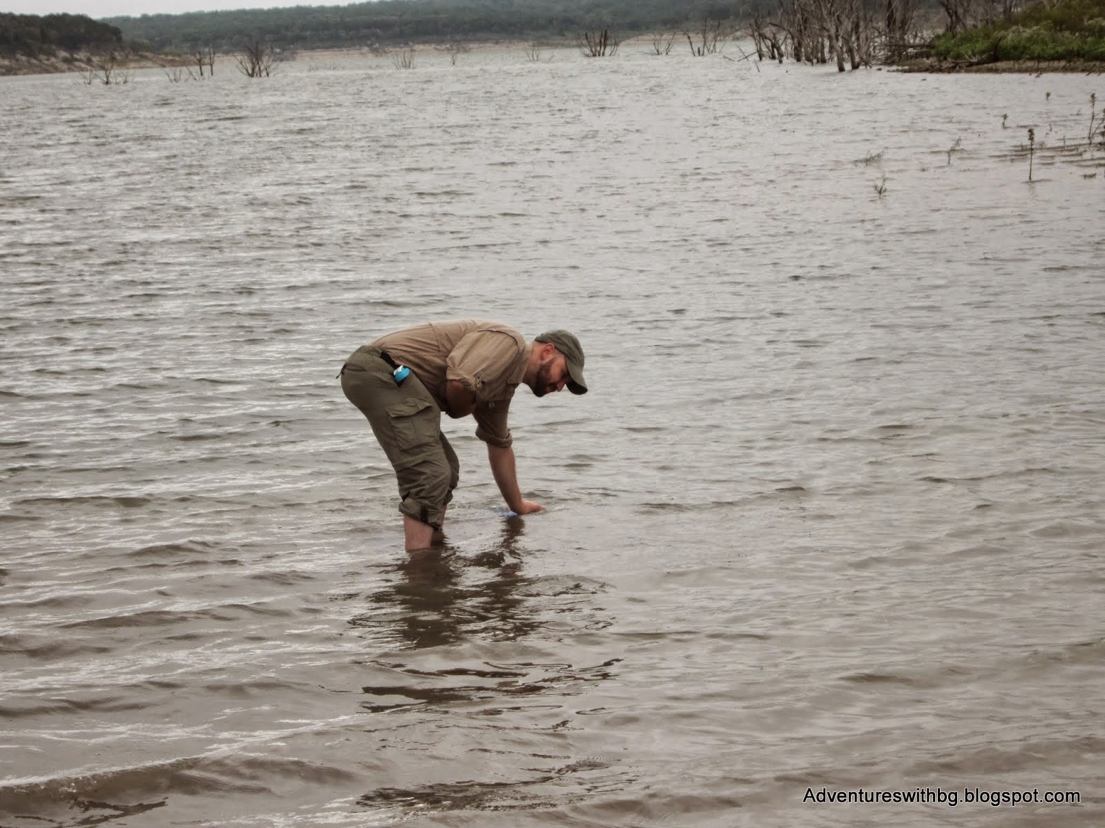
Dustin filtering water out of Lake Georgetown
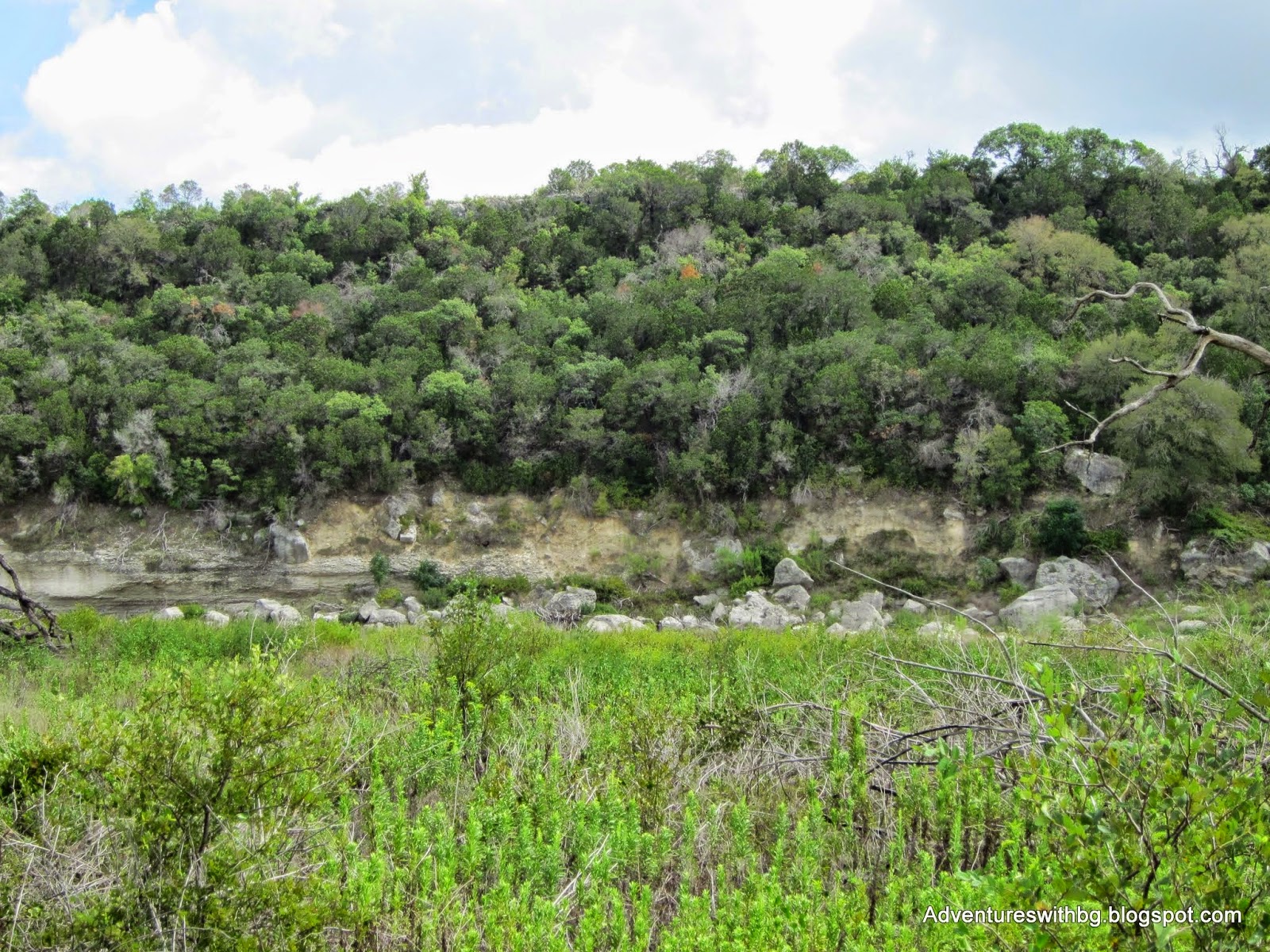
We then backtracked and made our way to Goodwater Loop. Once we were on our way, we met plenty of other hikers and trail runners out and about. Miles 8 and 9 took us away from the lake and through grass fields towards the San Gabriel River. Miles 9 and 10 took us up on limestone cliffs that overlooked the San Gabriel River. This was some of the hardest climbs of the trip. The trail then headed back down into grass fields and paralleled the San Gabriel. There were a few points where trail forks are marked only with rock piles or sticks in the ground, so be careful and don’t get lost.
The San Gabriel River: when the trail begin to parallel the river
We finally made it to Tejas Park were Jack’s ride pulled in just was we sat down. After Jack left, Dustin and I ate a quick lunch and used the park to dump all the trash we were carrying around. We didn't explore Tejas Park, but it is connected to a road, which can be used to park a pick up car. In addition, there were campsites, toilets,picnic areas, and what appeared to be portable water.

Jack saying goodbye at Tejas Park. He was missed
After a short break BeeGee, Dustin, and I continued on our journey. We crossed over the San Gabriel just after Tejas. The next section had placards where nomadic tribes had camped and had cooking areas. Moreover, as we traveled back toward the lake it was parallel to the San Gabriel through grasslands and a portion was on an old doubletrack road. This section was some of the easiest hiking we did on the trip. Just after mile 12, there is an old concrete water crossing called Box Crossing. We headed down and filtered river water. The river crossing has a placard explaining its origin and states mile 14 is just ahead, it’s not true and mile 13 is still a decent walk away.

Looking up at the cliffs above the San Gabriel River. We walked those cliffs about 5 mile ago
It was around this time I noticed that my shoes were still wet from walking around in the lake while filtering water that morning. my feet were still pruned causing hot spots. We stopped for a bit to dry our feet and shoes, which felt nice. Just after our break, we found a sign and trail breaking off from the double track. The sign stated a trailhead was 2 miles away and we followed the trail for a bit. After a quarter mile or so, the trail began to disappear. While, we could see mile marker 15 in the distance, there was no easy way to get there. So, we gave up and headed back to the doubletrack, which fortunately met back up with Goodwater loop.
The prehistoric campground used by nomadic people
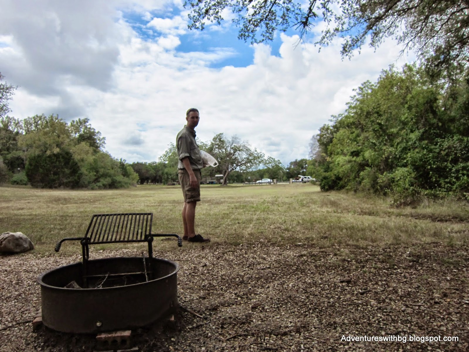
On the way to Russell Park, we passed through Walnut Spring Camp. The camp was on flat terrain and close to the lake. We were in the zone and didn’t take the time to explore the camp area. Just after Walnut Spring Camp, the trail begins to travel away from the lake and up into more limestone cliffs and cedar forest. The trail was rocky and rough on all our feet. Shortly before mile 17, we made it to Russell Park and the trail abruptly ends in a parking lot. After a quick search and asking for directions,we found a restroom with potable water.
We eventually, found the trail and continued on our way to Jim Hogg Park. Once again, it got dark on us and slowed our progress. While hiking in the dark, we could see lights and smell fires from our probable destination, but it seemed like forever before we made it to Jim Hogg. Goodwater Loop enters the park right by the gate, where we purchased an RV campsite for the night. Jim Hogg had a restroom with potable water where we filled up that night and in the morning. Because our campsite was for an RV, Dustin set up his tent under a pavilion on a concrete pad and I set up mine on the asphalt.
Goodwater Loop Day 3
Everyone woke up with tender feet and we all took various painkillers to give us the little kick we needed to get going (BeeGee had baby aspirin). We broke camp around 8:30 AM and found the trail on the other side of the gate from where we entered the park the night before. Once we got started again, Goodwater Loop travels through more of the same type of terrain: limestone rocks, dirt, juniper forest, and grass fields.
Around mile 23, we made it to Overlook Park. This park appeared to be shut down and the campsites were no longer in use. The issue with this park was that it has gravel trails all over the place and it was difficult to find our way. We eventually found a restroom and a paved trail leading up to Lake Georgetown’s Dam. We took a short break here because one path led to the other side of the dam and one across. Thankfully, a couple stopped to assist us as they had a better map than we did.
We started across the dam, which was a wonderful view of Lake Georgetown and the surrounding area. However, we were in direct sunlight and on asphalt and BeeGee over heated quickly. We made it across the mile long dam as quick as possible and found the only tree with any shade so BeeGee could cool down. After that, it was about a mile walk on a paved road back to our cars and the end of our trip.
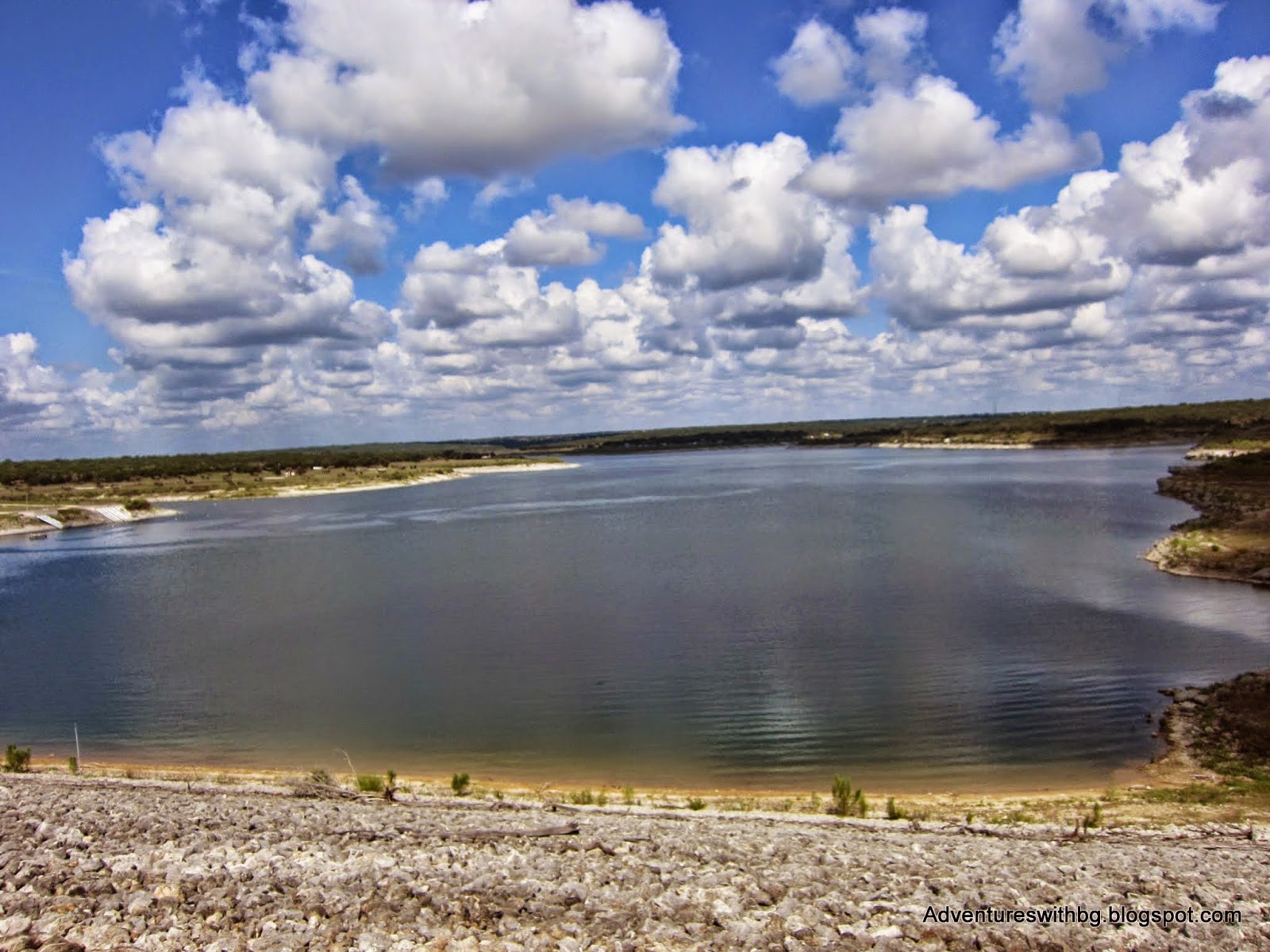
The view from Lake Georgetown's Dam
Final Thoughts
Goodwater Loop is an amazing area where you can hike, bike, and camp. It is a rough hike or bike so make sure you are in shape and prepared for the trip. My feet were pretty sore for a few days afterwards and BeeGee wouldn't even go outside for bathroom breaks (and she loves outside!). The entire trek was great, but the walk over the dam and on the paved road felt like an anticlimactic end to such a great adventure.
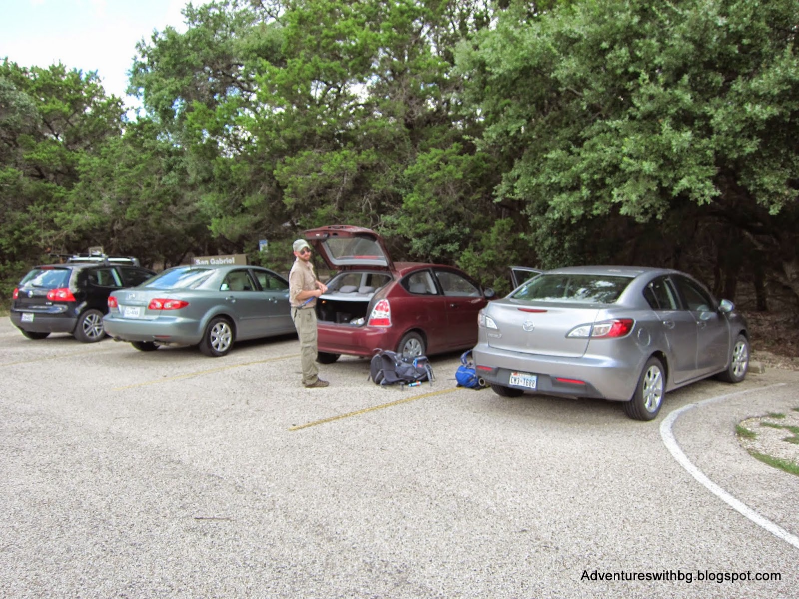
We made it back to our cars and getting ready to head home.
Today’s trip report will cover our second time at Good Water Loop in Georgetown, TX. On our first trip, Jack and I tried to mountain bike the trail and failed and you can read about it here. This week’s team consisted of BeeGee (her first big trip of the season), Jack (my brother), and Dustin (my cousin).

Goodwater Loop Trailhead at Cedar Breaks Park
Originally, our group planned a biking/hiking trip to Matagorda Island,but bad weather forced us to switch up plans at the last second. The trip started in the evening of Friday the 19th of September and ended at noon on the 21st. For being a weekend trip, this turned out to be one of the harder hikes I’ve ever done.
The Background
Location: 2100 Cedar Breaks Rd, Georgetown, TX 78633
Admission:$5 admission and $20 campsites
Elevation:790 to 950 ft
Weather: Sunny and hot, 84 to 96 F
Difficulty: Difficult
Website: https://files.georgetown.org/goodwater-loop-at-lake-georgetown/
Goodwater Loop is a 26-mile trail that loops around Lake Georgetown in Georgetown, Texas. The trail varies from dirt path to rocky limestone and travels through juniper trees, oak trees, and grasslands. The lake and trail are maintained by the Army Corp of Engineers. In addition, there are multiple parks available along the trail with potable water available. Finally, the multiple parks can be used to create shorter hikes that allow Goodwater to be hiked in sections.
Goodwater Loop Day 1
We started our hike at the Cedar Breaks Trailhead and headed clockwise. This is the same way we started our first trip to Goodwater. We started the hike late in the day, around 3:30 PM because of the travel time for everyone to meetup. The trail begins as a graveled path for about half a mile and then becomes a mix of limestone rocks and dirt. While it didn’t rain on us, it had rained earlier in the day so it was humid out and the trail was a little muddy.
Just short of a mile in, the trip almost had to be cancelled. As a result of the humidity and being super excited, I thought BeeGee had flipped her stomach. BeeGee had been running around as much as she was able and became overheated. We took a break and she drank almost 1 liter of water as fast she could. I noticed she was rolling around in the dirt, making little whimpers, and looked very bloated. At this point, I was pretty certain she had flipped her stomach and need to see a vet quickly. BeeGee and I started to walk out but she was slow and walking weird, so carried her as much as I could back to the car. Thankfully, when I set her down once, she burped a couple of times and went to the restroom. This resulted in her looking normal sized again and the bloating was gone.
At around 4:30 PM we regrouped and the hike began again. We quickly made it to mile 1 and saw the familiar cliffs overlooking the lake. Even after the rains, Lake Georgetown was still extremely low. Around mile 3, the trail heads into grasslands before reaching Crockett Garden and Crockett Creek. On this trip,we actually made our way down to Crockett falls and it was an amazing view despite the smell coming from a dead skunk. If didn't need to walk so far that day, it would have made an good campsite.

The amazing Crockett Falls
By this time, the sun was getting low and we pushed hard through miles 4 and 5 so we could get to Cedar Hollow Camp and set up our site with some light left. The path to Cedar Hollow takes you about .25 miles away from Goodwater Loop. Once we finally made it, Cedar Hollow is on the lake shores, on open flat ground, and in bad shape. There is no potable water(the camp is close to the lake though) and all of the grills were knocked down and full of trash. However, there were plenty of picnic tables and food hanging poles still in working condition. Plus, the vault toilet housing was completely destroyed, but if you don’t mind a bathroom break in the open, the toilets are still sturdy enough to use. After a brief break, we decided to push on to the next campsite in the hopes it had potable water (some of our team had never used a water filter and were a little nervous about it).
We begin walking through Cedar Hollow and quickly realized that there is no connection with Goodwater and had to backtrack to get back on the trail. We picked up the pace even more for miles 6 and 7, and part of the hike was in the dark. If you’ve ever hiked in the dark, it is a rewarding experience, but increases the likelihood of a rolled ankle. Around mile 7, we found a .25-mile path that led us to Sawyer Hollow Camp. The camp was tucked away in the woods on sloped ground away from the lake. The camp was small but overall in good condition. There was no potable water and no easy way to get back down to the lake. Furthermore,the housing for the vault toilets was still standing so there is bathroom privacy at Sawyer Hollow.

Passing through rocks on our night hike
We set up camp in the dark, not everyone had practiced setting up their shelters so it was a little extra fun, but we got it taken care of. In addition, we were super low on water and made multiple attempts to make it down to the lake in the dark. All of the lake attempts failed and we remained low on water. Everyone had a good first night of sleep except for Jack. I lent Jack my hammock, which he didn’t enjoy and he ended up sleeping on a picnic table.

Sawyer Hollow Camp: looking back on our way out
Goodwater Loop Day 2
BeeGee, Dustin, and I woke up feeling refreshed; however, Jack woke up feeling sick (my guess is from allergies). We got Jack a cocktail of medicine, while Dustin attempted to find a path to the lake, which failed. This is the point that BeeGee skunk and was sprayed. She remains a little stinky to this day. Eventually,Dustin and I found a way to the lake and we filtered water for everyone. We finally made breakfast, got an extraction set up for sick Jack, and left Sawyer Hollow around 11 AM.

Dustin filtering water out of Lake Georgetown
We then backtracked and made our way to Goodwater Loop. Once we were on our way, we met plenty of other hikers and trail runners out and about. Miles 8 and 9 took us away from the lake and through grass fields towards the San Gabriel River. Miles 9 and 10 took us up on limestone cliffs that overlooked the San Gabriel River. This was some of the hardest climbs of the trip. The trail then headed back down into grass fields and paralleled the San Gabriel. There were a few points where trail forks are marked only with rock piles or sticks in the ground, so be careful and don’t get lost.

The San Gabriel River: when the trail begin to parallel the river
We finally made it to Tejas Park were Jack’s ride pulled in just was we sat down. After Jack left, Dustin and I ate a quick lunch and used the park to dump all the trash we were carrying around. We didn't explore Tejas Park, but it is connected to a road, which can be used to park a pick up car. In addition, there were campsites, toilets,picnic areas, and what appeared to be portable water.
Jack saying goodbye at Tejas Park. He was missed
After a short break BeeGee, Dustin, and I continued on our journey. We crossed over the San Gabriel just after Tejas. The next section had placards where nomadic tribes had camped and had cooking areas. Moreover, as we traveled back toward the lake it was parallel to the San Gabriel through grasslands and a portion was on an old doubletrack road. This section was some of the easiest hiking we did on the trip. Just after mile 12, there is an old concrete water crossing called Box Crossing. We headed down and filtered river water. The river crossing has a placard explaining its origin and states mile 14 is just ahead, it’s not true and mile 13 is still a decent walk away.
Looking up at the cliffs above the San Gabriel River. We walked those cliffs about 5 mile ago
It was around this time I noticed that my shoes were still wet from walking around in the lake while filtering water that morning. my feet were still pruned causing hot spots. We stopped for a bit to dry our feet and shoes, which felt nice. Just after our break, we found a sign and trail breaking off from the double track. The sign stated a trailhead was 2 miles away and we followed the trail for a bit. After a quarter mile or so, the trail began to disappear. While, we could see mile marker 15 in the distance, there was no easy way to get there. So, we gave up and headed back to the doubletrack, which fortunately met back up with Goodwater loop.

The prehistoric campground used by nomadic people
On the way to Russell Park, we passed through Walnut Spring Camp. The camp was on flat terrain and close to the lake. We were in the zone and didn’t take the time to explore the camp area. Just after Walnut Spring Camp, the trail begins to travel away from the lake and up into more limestone cliffs and cedar forest. The trail was rocky and rough on all our feet. Shortly before mile 17, we made it to Russell Park and the trail abruptly ends in a parking lot. After a quick search and asking for directions,we found a restroom with potable water.
We eventually, found the trail and continued on our way to Jim Hogg Park. Once again, it got dark on us and slowed our progress. While hiking in the dark, we could see lights and smell fires from our probable destination, but it seemed like forever before we made it to Jim Hogg. Goodwater Loop enters the park right by the gate, where we purchased an RV campsite for the night. Jim Hogg had a restroom with potable water where we filled up that night and in the morning. Because our campsite was for an RV, Dustin set up his tent under a pavilion on a concrete pad and I set up mine on the asphalt.
Goodwater Loop Day 3
Everyone woke up with tender feet and we all took various painkillers to give us the little kick we needed to get going (BeeGee had baby aspirin). We broke camp around 8:30 AM and found the trail on the other side of the gate from where we entered the park the night before. Once we got started again, Goodwater Loop travels through more of the same type of terrain: limestone rocks, dirt, juniper forest, and grass fields.
Around mile 23, we made it to Overlook Park. This park appeared to be shut down and the campsites were no longer in use. The issue with this park was that it has gravel trails all over the place and it was difficult to find our way. We eventually found a restroom and a paved trail leading up to Lake Georgetown’s Dam. We took a short break here because one path led to the other side of the dam and one across. Thankfully, a couple stopped to assist us as they had a better map than we did.
We started across the dam, which was a wonderful view of Lake Georgetown and the surrounding area. However, we were in direct sunlight and on asphalt and BeeGee over heated quickly. We made it across the mile long dam as quick as possible and found the only tree with any shade so BeeGee could cool down. After that, it was about a mile walk on a paved road back to our cars and the end of our trip.

The view from Lake Georgetown's Dam
Final Thoughts
Goodwater Loop is an amazing area where you can hike, bike, and camp. It is a rough hike or bike so make sure you are in shape and prepared for the trip. My feet were pretty sore for a few days afterwards and BeeGee wouldn't even go outside for bathroom breaks (and she loves outside!). The entire trek was great, but the walk over the dam and on the paved road felt like an anticlimactic end to such a great adventure.

We made it back to our cars and getting ready to head home.
Last edited: