b.stark
Forever Wandering
- Joined
- Apr 8, 2015
- Messages
- 1,081
Intro: Now for something very different! Although I live in a rather "boring" part of the country as far as being able to do big backcountry trips, I try as much as possible to make use of what I do have here in Nebraska. One great resource I have left untapped until this year is the Missouri River. From Gavin's Point Dam to Ponca the river is unchannelized, making for a unique place to be out on the river. It's not particularly remote, and there are lots of cabins on the river, and often you see farmers at work in the fields right along the river, but it's certainly an interesting place to be on the water and gives me something other than small ponds to canoe on. My goal is to do an overnight canoe trip from Gavin's Point to Ponca (about 59 river miles) sometime before the end of the year.
On to the main trip report:
On my last bunch of days off, I saw some great weather and decided to do some canoeing on the Missouri River. Originally, the tentative plan was to go overnight from Gavin's Point to Ponca (this stretch of the river is unchannelized) but I decided on doing just a day trip so I had time to catch up on adult responsibilities. Since I've canoed the lower half of the unchannelized portion of the river already, I decided to do most of the upper stretch. At about 25.5 miles, Gavin's Point to Brooky Bottom seemed like a good trip for a day. Based on the pace from my last trip, I figured on this taking maybe 6-7 hours, giving me some time for stops and relaxing along the river.
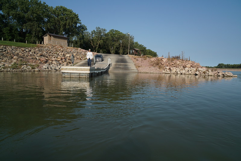
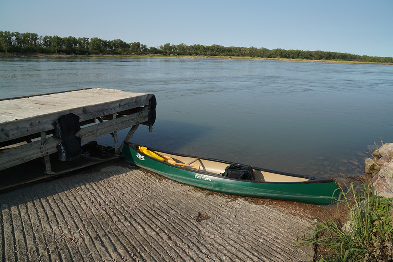
The plan in place, I had my mom drop me off at the boat ramp at Gavin's Point in the morning. It ended up being about 9:40AM when I started down the river. Bye mom!
Winds were "light and variable" all day, though when the wind was blowing it always seemed to be an almost direct headwind. It was light, but very annoying in a lightly loaded solo canoe.
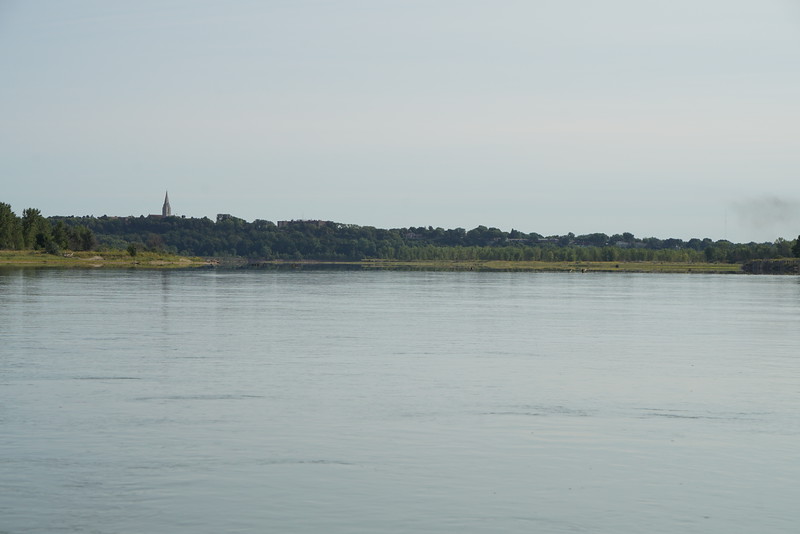
As I neared Yankton, I could hear the church bells ring for 10AM.
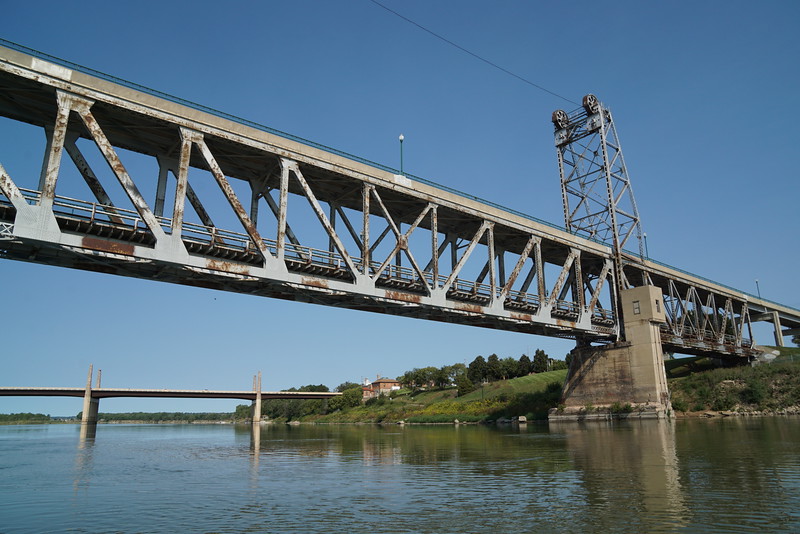
Floating under the bridges at Yankton was kind of the highlight of the early part of the trip. There are two bridges across the river now, the old double decker bridge and a fancy new 4-lane bridge. The new bridge is pretty recent, having only been put in within the last few years. The old double decker bridge was kind of interesting to drive across especially on the top deck.
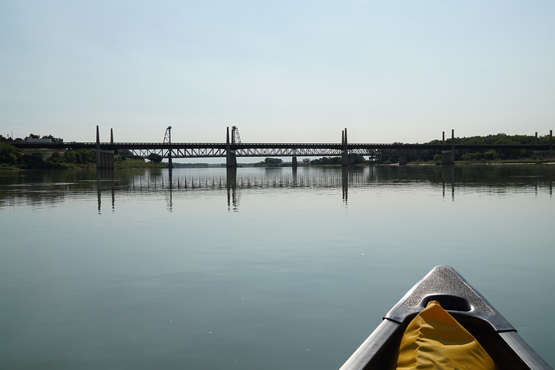
Old and new
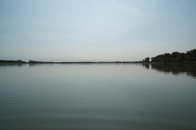
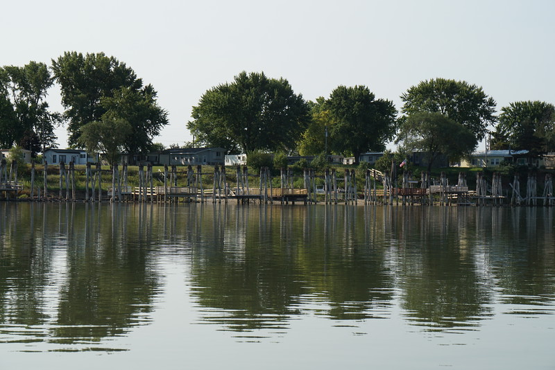
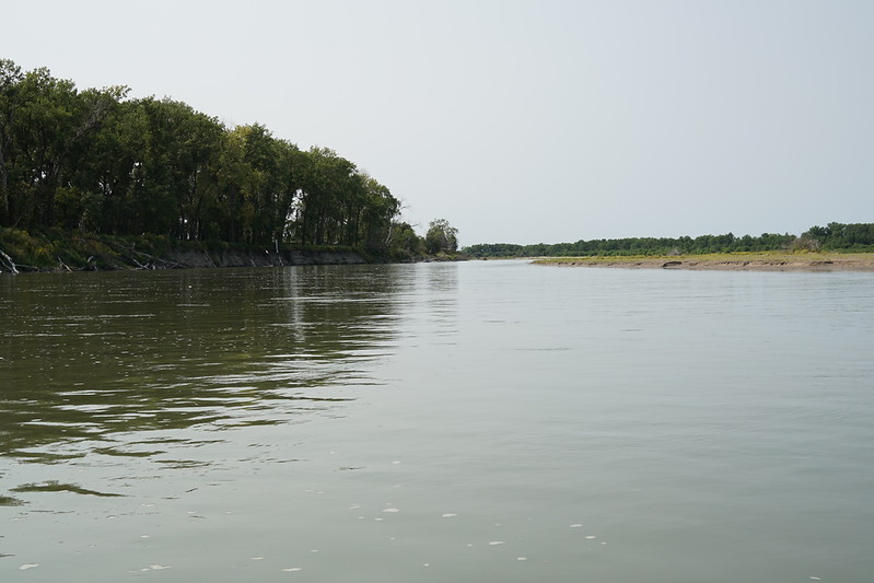
After Yankton, there is little along the river. There are much fewer cabins along this part of the river than from Mulberry Bend to Ponca. I think only at St. Helena and Brooky Bottom were there many to be seen. Of course between the dam and Yankton there are more cabins than you can shake a stick at.
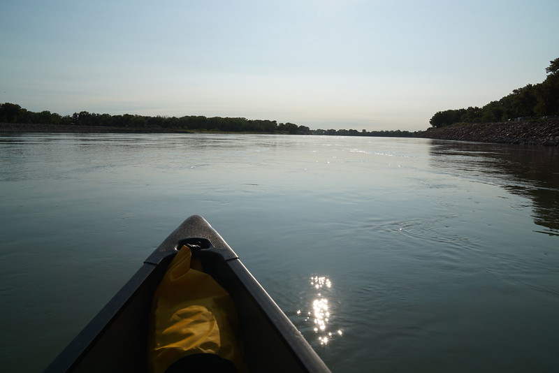
Glass calm, wide open river downstream
A few of the many cabins between the dam and Yankton
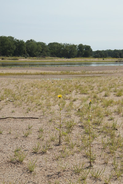
After a leisurely hour's paddle down from Yankton, I stopped for a break on a sandbar.
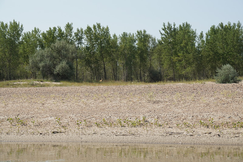
After getting back in the canoe, I noticed this deer watching me attentively.
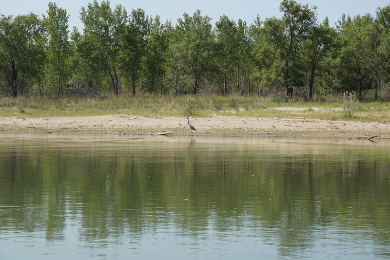
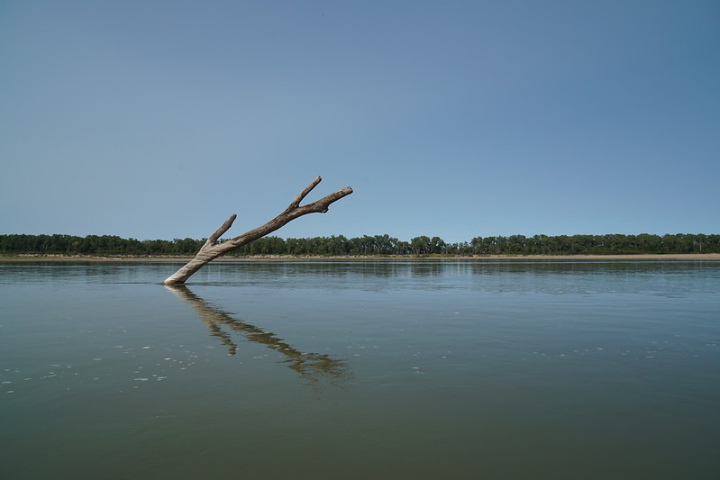
Saw some wildlife along the river, but since it was midday for most of the trip there probably wasn't nearly as much as if it had been evening. Either there were tons of blue herons, or I chased the same one down the river for 25 miles. There seemed to be a heron every quarter mile.
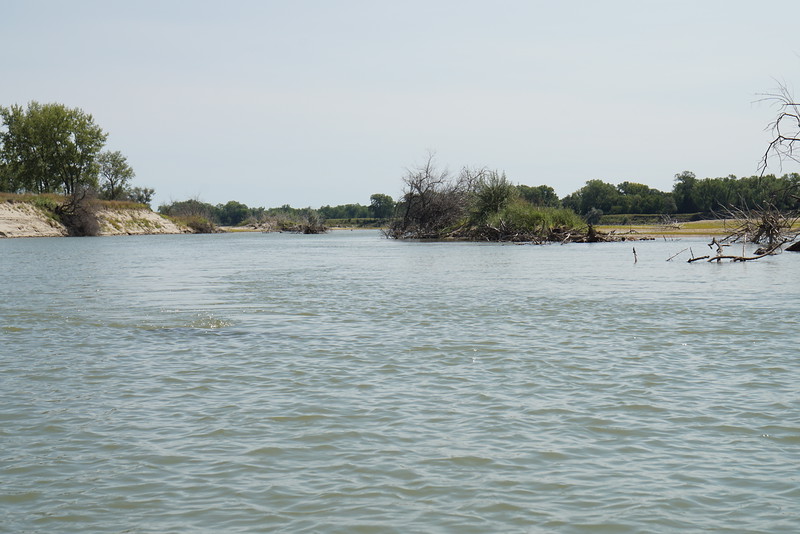
I try as much as possible to take chutes off the main channel as they make the trip much more interesting and seem to be where I see most wildlife.
Took a break for lunch at the James River. Mountain House lasagna, cookies, and Powerade. A gourmet meal it wasn't, but it was what I had on hand that was quick and easy. While paddling up to the James River, a paddlefish jumped a few feet in front of me.
At this point I knew I was roughly a bit short of halfway to Brooky Bottom. The next big landmark was the Bow Creek, a tributary on the Nebraska side of the river. I wasn't exactly sure how far it was to the creek from where I was, and my phone wasn't getting good enough reception to run Google Maps. Fortunately, the route was simple enough: Keep going downriver and keep an eye out for the cabin city at Brooky Bottom (it's pretty obvious). It was getting pretty warm so I was hoping to find a place with good shade to rest for a while, but since the wind was dead calm after I finished lunch I decided to just keep pulling the paddle and make some good distance downstream while there was no headwind.
Paddled through a couple more small chutes, roasted in the sun, and kept on paddling. I favored the Nebraska sign in hopes of recognizing Bow Creek. The James River was very easy to miss, and I had actually found it because I was paddling up toward shore hoping to find a good spot for a lunch break.
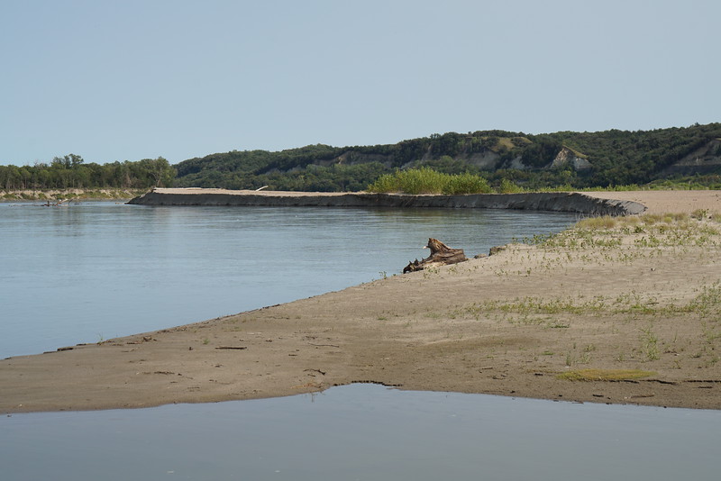
After paddling for what seemed like forever without really checking the time, it ended up being somewhere around 4:30PM. I was thoroughly tired, wondering where the heck I was, and looking earnestly for shade. Finally I saw some bluffs in the distance. I reasoned (rightly, it turned out) that I must be very near Bow Creek. There was a nice sandbar along the river (that didn't offer much of anything for shade, curse it) so I pulled over for a break that was very well needed.
My phone was still useless for finding out my location, and I cursed myself for not bringing a map. On lower part of the river, my phone worked pretty much everywhere and I wrongly assumed it would work up here. Fortunately shortly after getting back on the water, I saw a boat working its way up some waterway right along the bluffs--surely Bow Creek. Not far to the boat ramp now, and I was very much interested in getting there. Probably overstrained myself a bit after lunch, refusing each nice sandbar that I passed in hopes of finding a better (shadier) one just down the river.

Not far down the river from there, I spotted cabins, a boat ramp on the South Dakota side, and Goat Island. Surely not far now, just had to hug the Nebraska side and watch for a boat ramp. While paddling along the cabins at Brooky Bottom a man on shore talked to me briefly, and informed me the boat ramp was just around the next point! Just what I was hoping for!
Got to the ramp right at 5:30PM. At around 8 hours for the trip, that was somewhat longer than my projected time. All in all a worthwhile trip, and it at least seemed much more remote than the river from Mulberry Bend on down. Between this trip and my trip from Mulberry Bend to Ponca, this leaves only about 10 miles of the river that I haven't done.
On to the main trip report:
On my last bunch of days off, I saw some great weather and decided to do some canoeing on the Missouri River. Originally, the tentative plan was to go overnight from Gavin's Point to Ponca (this stretch of the river is unchannelized) but I decided on doing just a day trip so I had time to catch up on adult responsibilities. Since I've canoed the lower half of the unchannelized portion of the river already, I decided to do most of the upper stretch. At about 25.5 miles, Gavin's Point to Brooky Bottom seemed like a good trip for a day. Based on the pace from my last trip, I figured on this taking maybe 6-7 hours, giving me some time for stops and relaxing along the river.
The plan in place, I had my mom drop me off at the boat ramp at Gavin's Point in the morning. It ended up being about 9:40AM when I started down the river. Bye mom!
Winds were "light and variable" all day, though when the wind was blowing it always seemed to be an almost direct headwind. It was light, but very annoying in a lightly loaded solo canoe.
As I neared Yankton, I could hear the church bells ring for 10AM.
Floating under the bridges at Yankton was kind of the highlight of the early part of the trip. There are two bridges across the river now, the old double decker bridge and a fancy new 4-lane bridge. The new bridge is pretty recent, having only been put in within the last few years. The old double decker bridge was kind of interesting to drive across especially on the top deck.
Old and new
After Yankton, there is little along the river. There are much fewer cabins along this part of the river than from Mulberry Bend to Ponca. I think only at St. Helena and Brooky Bottom were there many to be seen. Of course between the dam and Yankton there are more cabins than you can shake a stick at.
Glass calm, wide open river downstream
A few of the many cabins between the dam and Yankton
After a leisurely hour's paddle down from Yankton, I stopped for a break on a sandbar.
After getting back in the canoe, I noticed this deer watching me attentively.
Saw some wildlife along the river, but since it was midday for most of the trip there probably wasn't nearly as much as if it had been evening. Either there were tons of blue herons, or I chased the same one down the river for 25 miles. There seemed to be a heron every quarter mile.
I try as much as possible to take chutes off the main channel as they make the trip much more interesting and seem to be where I see most wildlife.
Took a break for lunch at the James River. Mountain House lasagna, cookies, and Powerade. A gourmet meal it wasn't, but it was what I had on hand that was quick and easy. While paddling up to the James River, a paddlefish jumped a few feet in front of me.
At this point I knew I was roughly a bit short of halfway to Brooky Bottom. The next big landmark was the Bow Creek, a tributary on the Nebraska side of the river. I wasn't exactly sure how far it was to the creek from where I was, and my phone wasn't getting good enough reception to run Google Maps. Fortunately, the route was simple enough: Keep going downriver and keep an eye out for the cabin city at Brooky Bottom (it's pretty obvious). It was getting pretty warm so I was hoping to find a place with good shade to rest for a while, but since the wind was dead calm after I finished lunch I decided to just keep pulling the paddle and make some good distance downstream while there was no headwind.
Paddled through a couple more small chutes, roasted in the sun, and kept on paddling. I favored the Nebraska sign in hopes of recognizing Bow Creek. The James River was very easy to miss, and I had actually found it because I was paddling up toward shore hoping to find a good spot for a lunch break.
After paddling for what seemed like forever without really checking the time, it ended up being somewhere around 4:30PM. I was thoroughly tired, wondering where the heck I was, and looking earnestly for shade. Finally I saw some bluffs in the distance. I reasoned (rightly, it turned out) that I must be very near Bow Creek. There was a nice sandbar along the river (that didn't offer much of anything for shade, curse it) so I pulled over for a break that was very well needed.
My phone was still useless for finding out my location, and I cursed myself for not bringing a map. On lower part of the river, my phone worked pretty much everywhere and I wrongly assumed it would work up here. Fortunately shortly after getting back on the water, I saw a boat working its way up some waterway right along the bluffs--surely Bow Creek. Not far to the boat ramp now, and I was very much interested in getting there. Probably overstrained myself a bit after lunch, refusing each nice sandbar that I passed in hopes of finding a better (shadier) one just down the river.
Not far down the river from there, I spotted cabins, a boat ramp on the South Dakota side, and Goat Island. Surely not far now, just had to hug the Nebraska side and watch for a boat ramp. While paddling along the cabins at Brooky Bottom a man on shore talked to me briefly, and informed me the boat ramp was just around the next point! Just what I was hoping for!
Got to the ramp right at 5:30PM. At around 8 hours for the trip, that was somewhat longer than my projected time. All in all a worthwhile trip, and it at least seemed much more remote than the river from Mulberry Bend on down. Between this trip and my trip from Mulberry Bend to Ponca, this leaves only about 10 miles of the river that I haven't done.
")
