Udink
Still right here.
- Joined
- Jan 17, 2012
- Messages
- 1,692
This is the sort of trip I envisioned when I bought a motorcycle last year--a thru-hike with a self-shuttle. The Left Fork of Huntington Creek National Recreation Trail was a perfect fit, with easy Jeep/motorcycle access to both ends of the trail. I began work early on Thursday morning so I'd have time after work to set up the shuttle and complete the hike/ride before dark. I planned to hike the trail uphill ('cause I needed the exercise) so I dropped off the dirt bike at the upper trailhead and drove the Jeep to the lower trailhead and began hiking at about 4PM. Temps were warmish--82 degrees--and they never seemed to let up despite the increasing elevation along the way. The Left Fork trail started out close to the creek but climbed the hillside above it and stayed high for much of the hike. A few times I descended to the creek to have a look at log jams caused by the 2012 Seeley fire and subsequent debris flows.
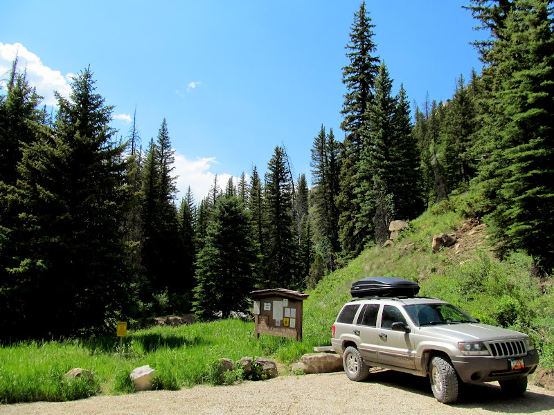
Lower trailhead
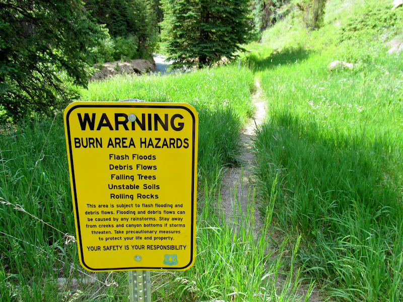
Burn area hazards
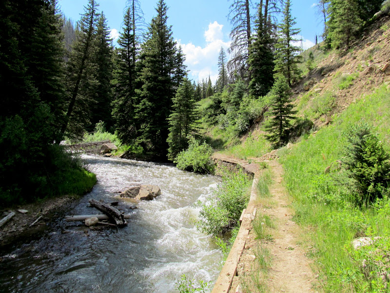
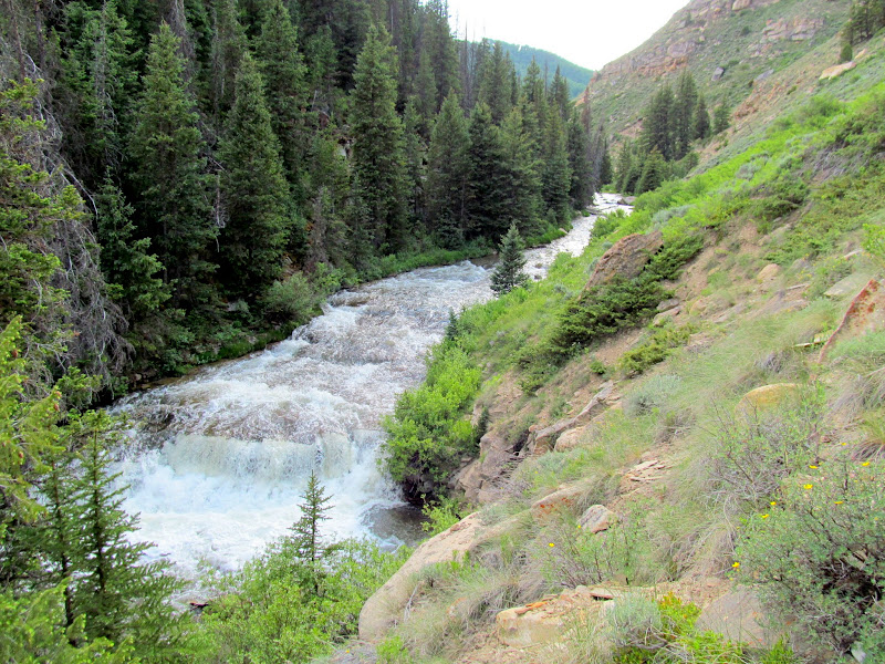
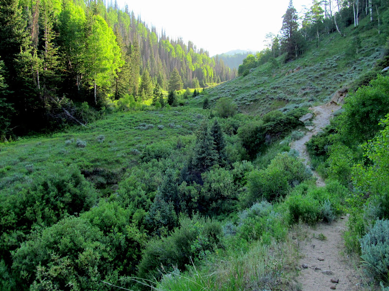
Creekside trail
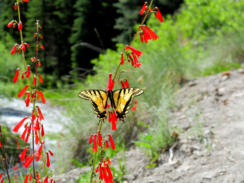
Two-Tailed Swallowtail on Eaton's Penstemon
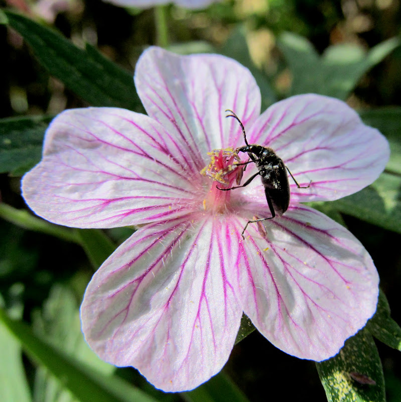
Some bug on some flower
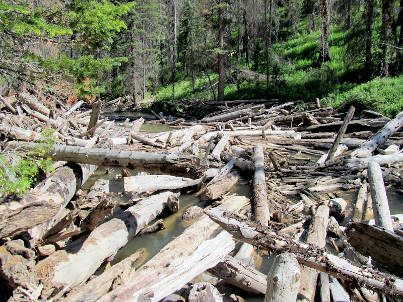
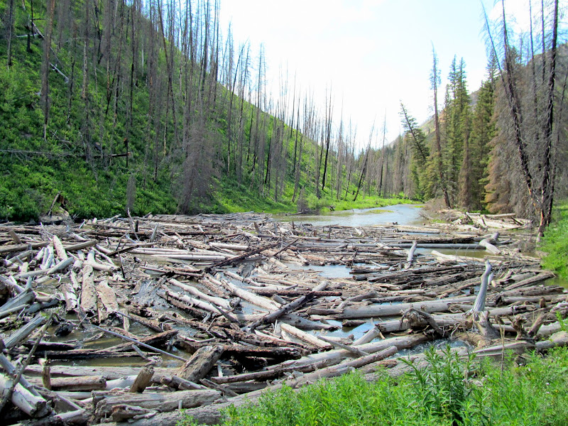
Log jam in the creek
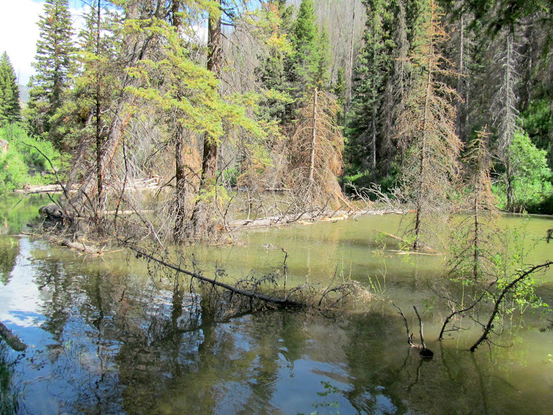
Pond formed behind the log jam
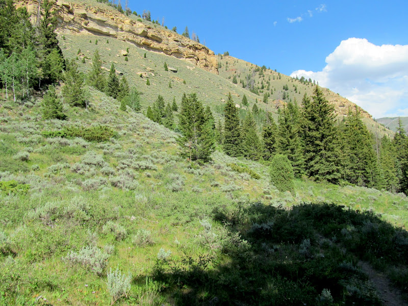
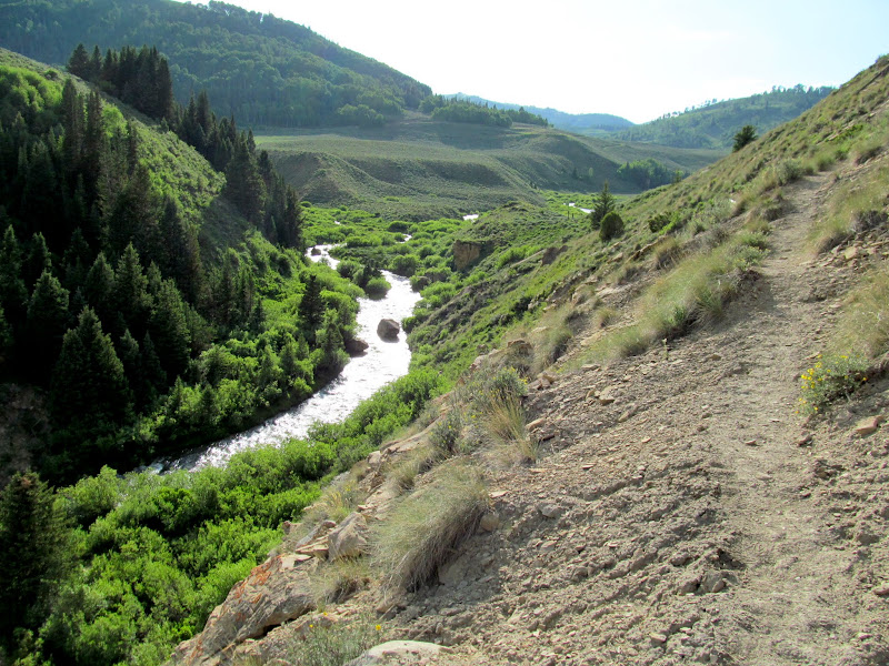
Open country above the creek
Another log jam
I only saw one other person on the trail--a fisherman who had hiked above the burn area but still had no luck catching anything. I stopped briefly for a dinner of Oreos and Cheez-Its. The canyon widened and the trail leveled out near where Scad Valley Creek and Miller Flat Creek joined the Left Fork. I enjoyed the views and open spaces along this upper portion of the trail. Honestly, I'd been dragging my ass since about the halfway point of the trail, but I got a second wind along the upper section and made better time as I approached the upper trailhead.
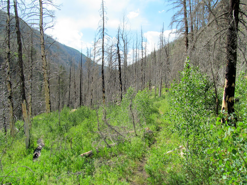
Trail through burned pines
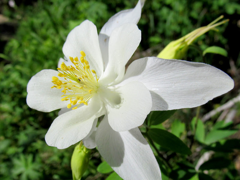
Colorado Columbine (Aquilegia coerulea)
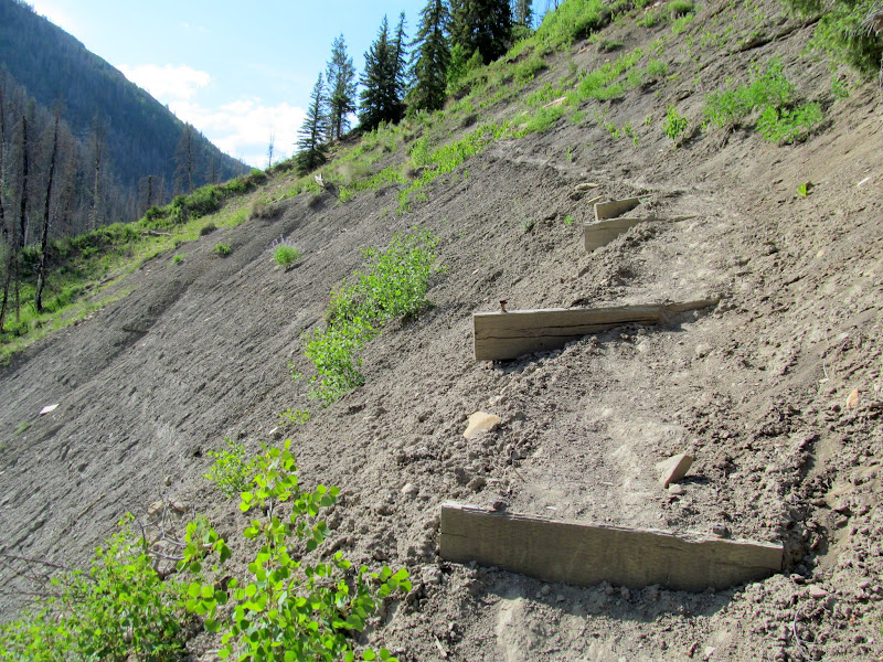
Trail over a steep sidehill
Left Fork of Huntington Creek
Upper end of the canyon
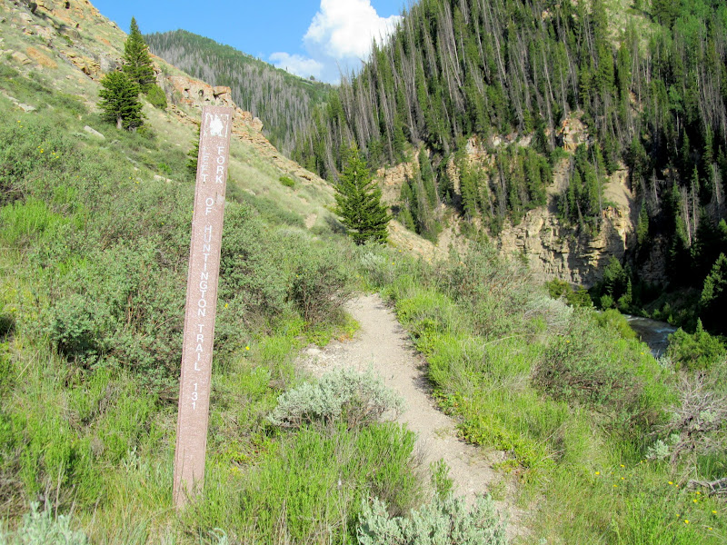
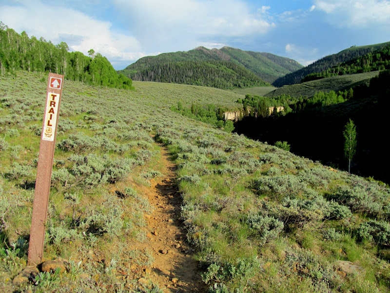
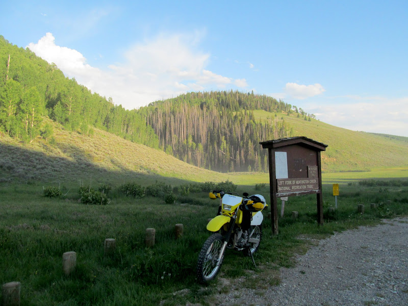
Left Fork trail sign
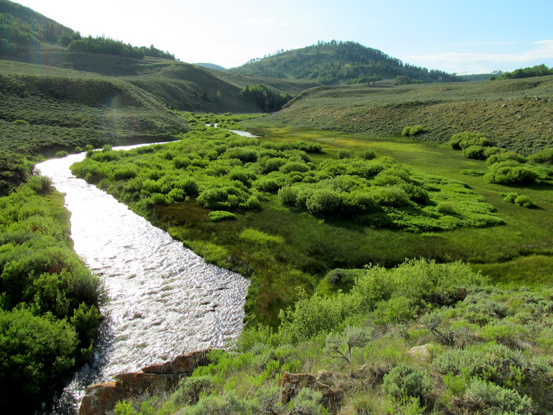
Scad Valley Creek joining the Left Fork
Left Fork of Huntington Creek
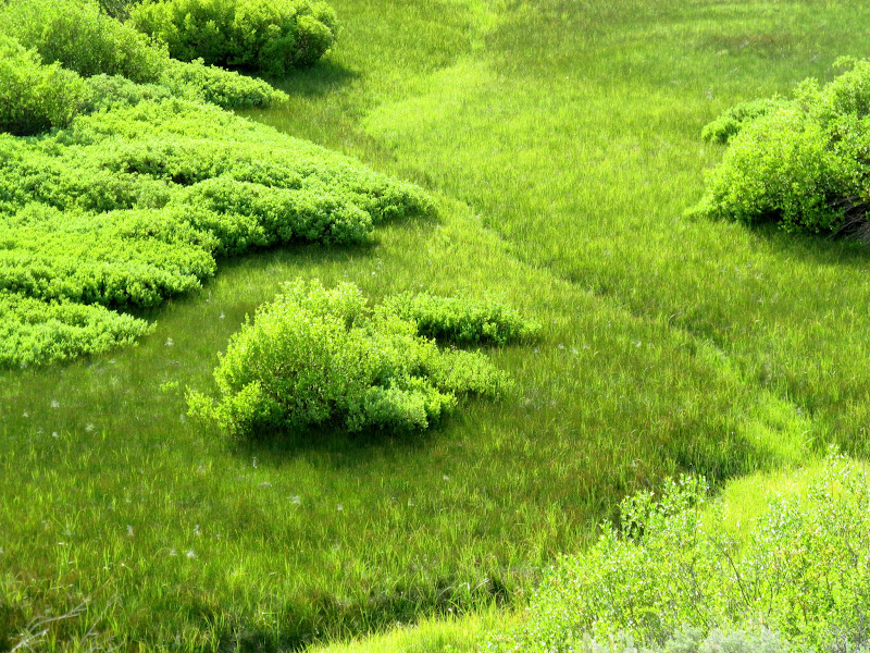
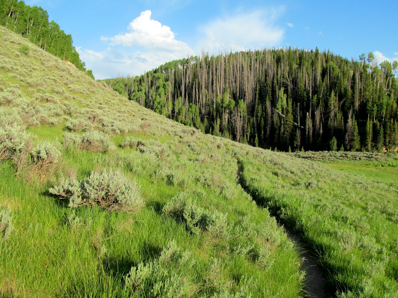
Shrubs and grasses
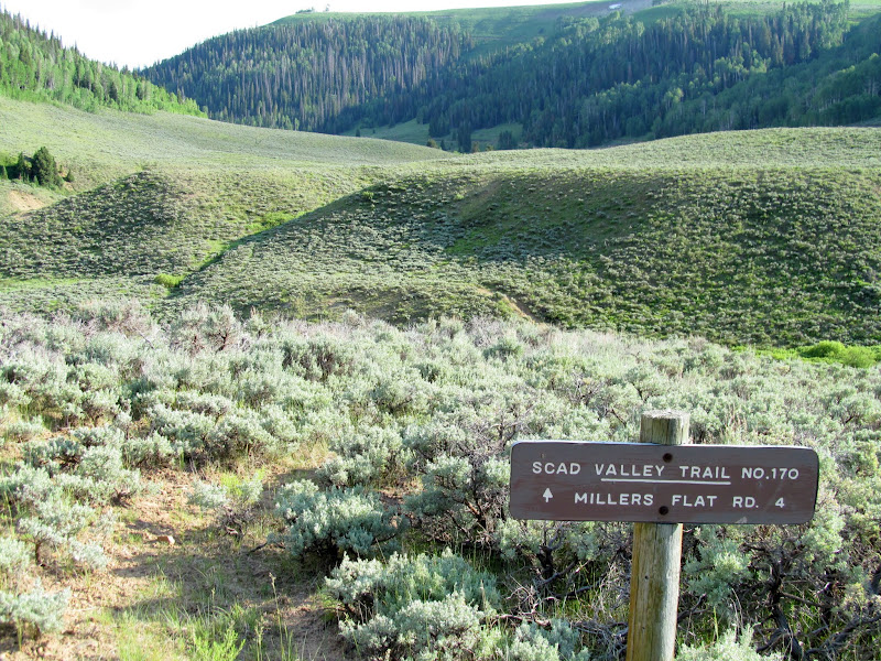
Scad Valley Trail junction
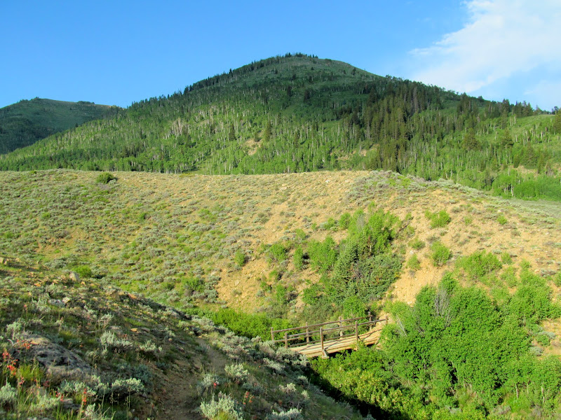
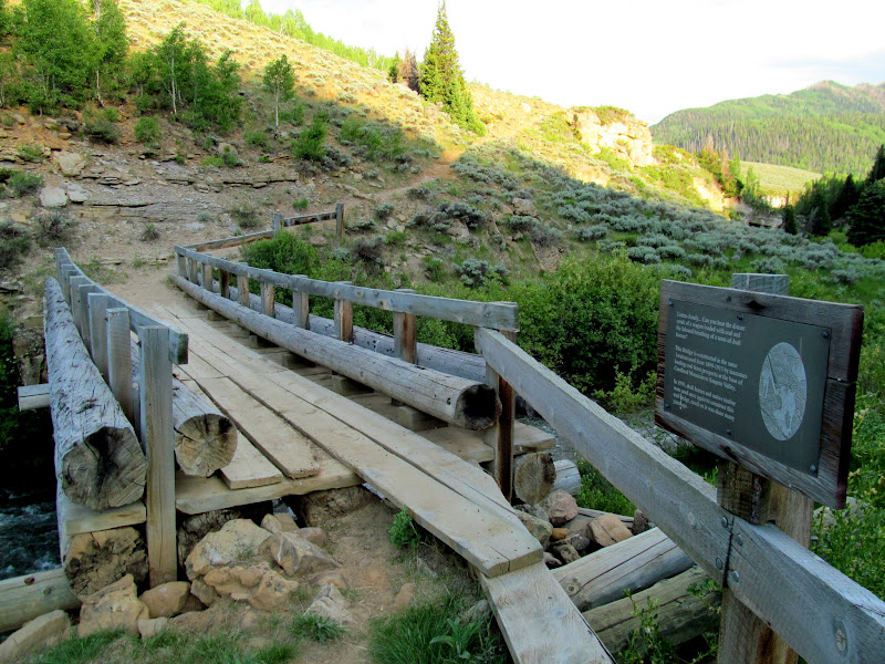
Candland Mountain towering over a small bridge on the trail
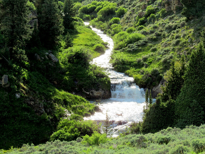
Cascade along Miller Flat Creek
Trail
Bridge over the Left Fork of Huntington Creek
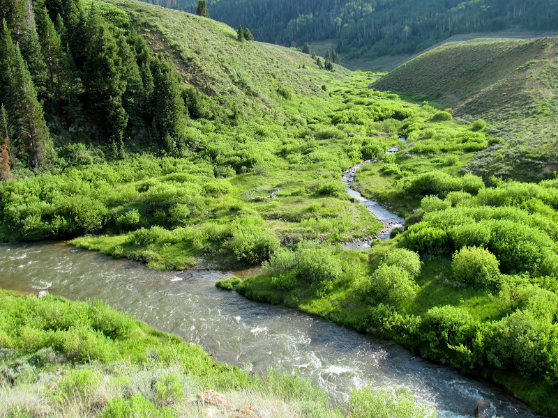
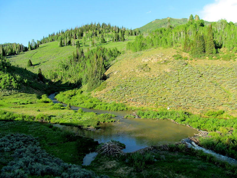
Beaver pond
Staker Canyon
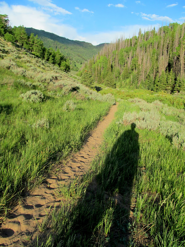
Shadow selfie in Staker Canyon
Trail near the upper TH
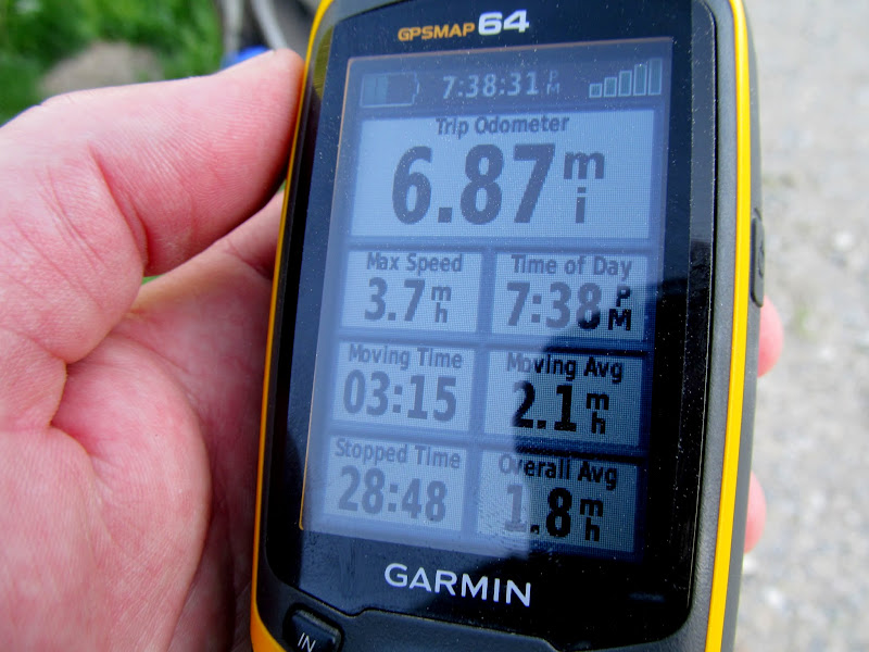
I reached the motorcycle after about three hours and 45 minutes of hiking. The advertised trail distance is six miles but my GPS registered closer to seven, and somehow with only 900' elevation gain I was feeling beat. I traded my shade hat for a helmet and cruised up the gravel on Miller Flat Road, then down the paved Huntington Canyon road. I hadn't really considered it before the trip, but one really needs a helmet with a face shield for this type of riding! I was pelted by bugs for the entire ride--it even stung getting hit through two layers of shirts. I returned to the lower trailhead, loaded the bike, and hit the road before the sun went down, enjoying a colorful sunset during the drive home.
Motorcycle at the upper trailhead
Hike stats from the GPS
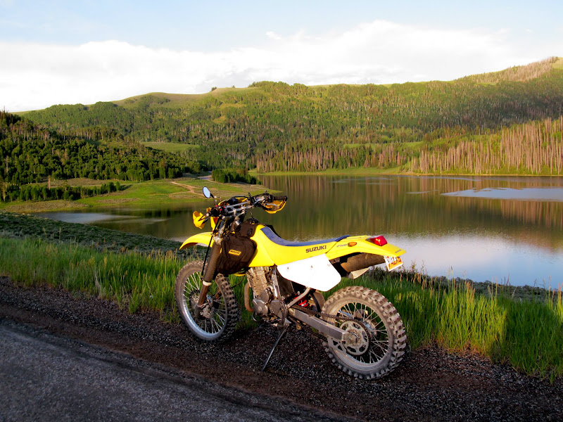
Above Cleveland Reservoir
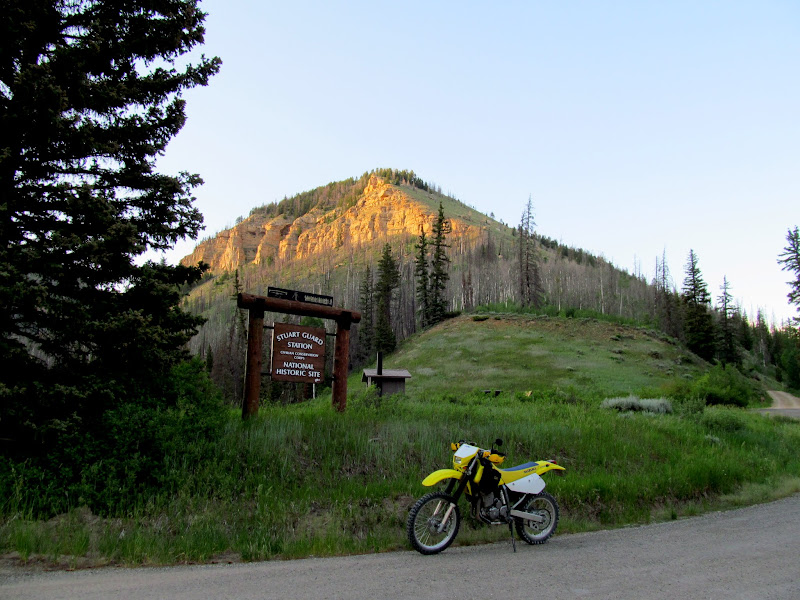
Stuart Guard Station
Leaving the lower TH after loading the bike
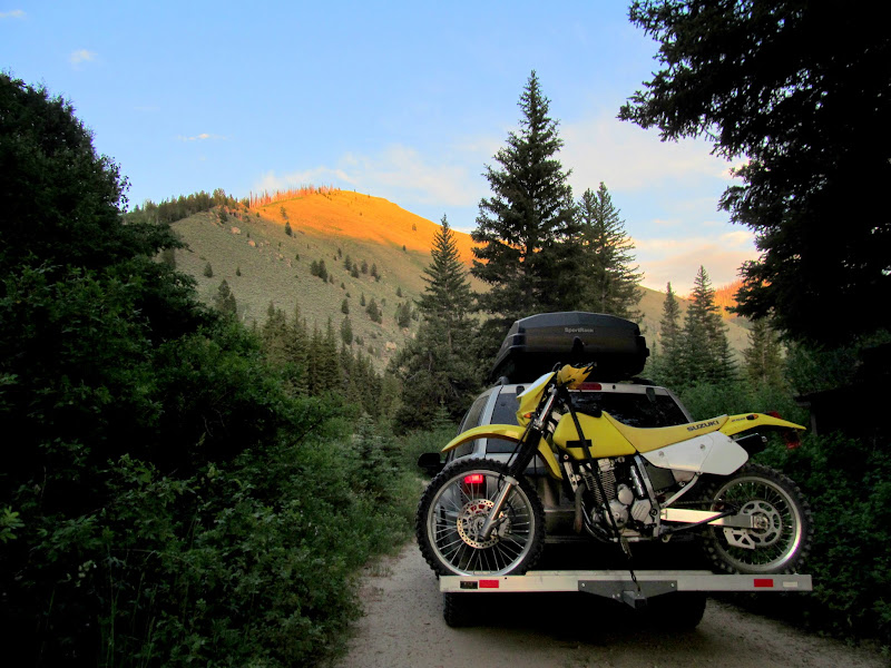
Photo Gallery: Left Fork of Huntington Creek
GPS Track and Photo Waypoints:
[Google Earth KMZ] [Gmap4 Satellite] [Gmap4 Topo]
Lower trailhead
Burn area hazards
Creekside trail
Two-Tailed Swallowtail on Eaton's Penstemon
Some bug on some flower
Log jam in the creek
Pond formed behind the log jam
Open country above the creek
Another log jam
I only saw one other person on the trail--a fisherman who had hiked above the burn area but still had no luck catching anything. I stopped briefly for a dinner of Oreos and Cheez-Its. The canyon widened and the trail leveled out near where Scad Valley Creek and Miller Flat Creek joined the Left Fork. I enjoyed the views and open spaces along this upper portion of the trail. Honestly, I'd been dragging my ass since about the halfway point of the trail, but I got a second wind along the upper section and made better time as I approached the upper trailhead.
Trail through burned pines
Colorado Columbine (Aquilegia coerulea)
Trail over a steep sidehill
Left Fork of Huntington Creek
Upper end of the canyon
Left Fork trail sign
Scad Valley Creek joining the Left Fork
Left Fork of Huntington Creek
Shrubs and grasses
Scad Valley Trail junction
Candland Mountain towering over a small bridge on the trail
Cascade along Miller Flat Creek
Trail
Bridge over the Left Fork of Huntington Creek
Beaver pond
Staker Canyon
Shadow selfie in Staker Canyon
Trail near the upper TH
I reached the motorcycle after about three hours and 45 minutes of hiking. The advertised trail distance is six miles but my GPS registered closer to seven, and somehow with only 900' elevation gain I was feeling beat. I traded my shade hat for a helmet and cruised up the gravel on Miller Flat Road, then down the paved Huntington Canyon road. I hadn't really considered it before the trip, but one really needs a helmet with a face shield for this type of riding! I was pelted by bugs for the entire ride--it even stung getting hit through two layers of shirts. I returned to the lower trailhead, loaded the bike, and hit the road before the sun went down, enjoying a colorful sunset during the drive home.
Motorcycle at the upper trailhead
Hike stats from the GPS
Above Cleveland Reservoir
Stuart Guard Station
Leaving the lower TH after loading the bike
Photo Gallery: Left Fork of Huntington Creek
GPS Track and Photo Waypoints:
[Google Earth KMZ] [Gmap4 Satellite] [Gmap4 Topo]