hatchcanyon
Member
- Joined
- May 29, 2013
- Messages
- 136
(Trip made in 2006!)
An old booklet written by Jack Bickers mentioned a route on the west side of the Green River. He called it "Entrada Gap Trail". But his description was mainly for Bull Bottom Stock Trail. How to find this "Gap" trail was vaguely specified. A good requirement to make us courious. Let's go!
Town of Green River, Main Street then on Long Street southward, crossing the railroad tracks. We are still on pavement but at 12S 0570450, 4312668 we leave tarmac for the graveled Road from Green River to Horseshoe Canyon (and lateron the Maze District.
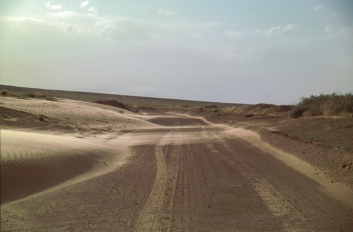
20 miles down the road we cross San Rafael River to find the turnoff for Bull Bottom Trail after additional 2 miles . (12S 0575375, 4287525)
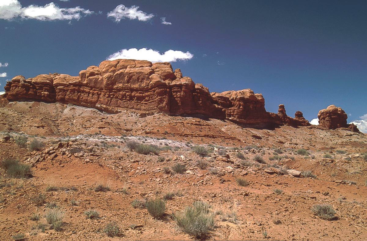
Entrada Cliffs along the Bull Bottom Trail
The historic cattle trails is blocked for ATVs but can be used to walk down to the bottom
At first we didn't find any other track. Returning to the Green River Road we saw a weak trail heading to the cliffline south of Bull Bottom Trail. Dead end at a place with a campfire ring. Back again! On our way back we suddenly stumble opon a barely visible spur back to the east but closer to the cliffs. We gave it a try. Successfully!
The cliffs from the trail
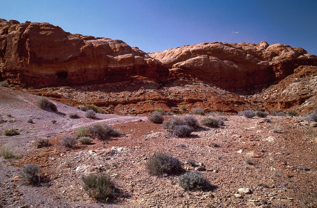
On the northeastern end of the Entrada Cliffs ( 12S 0576765, 4287250) the tracks lead over a low pass. If you are there you are on the right trail.
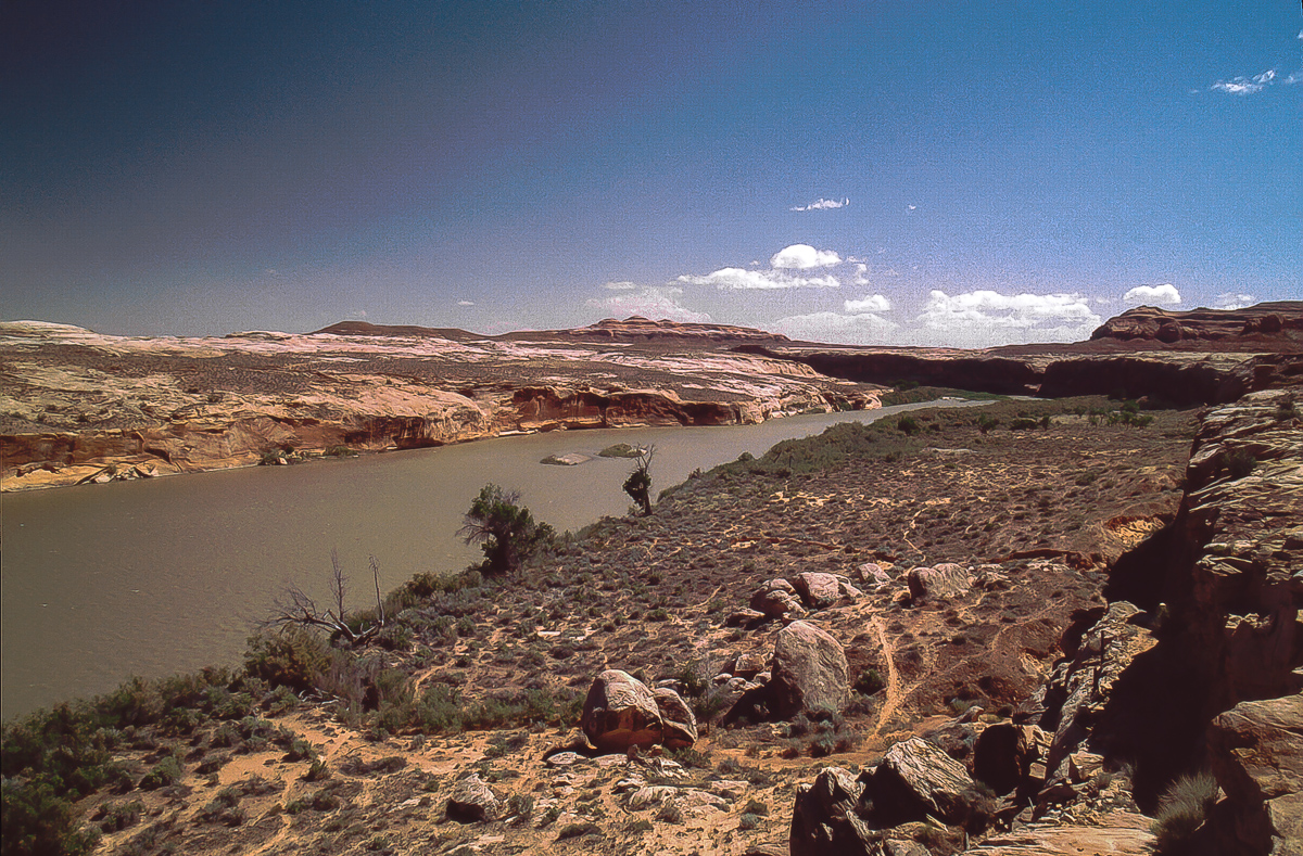
View from the "pass" onto Green River
South of the little pass the trail is much better defined. A lot of small dark rocks lie on the ground - chert.
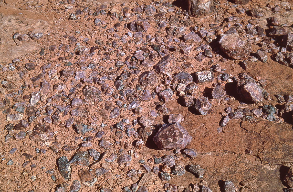
Chert
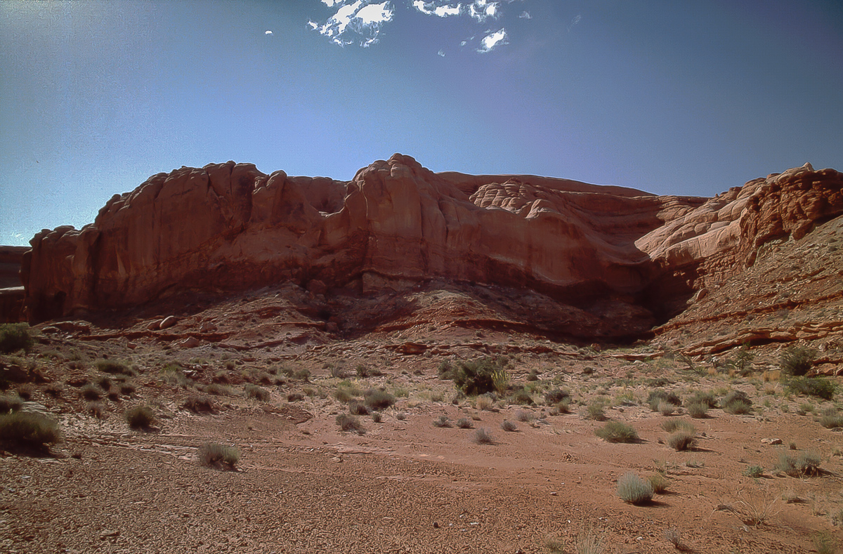
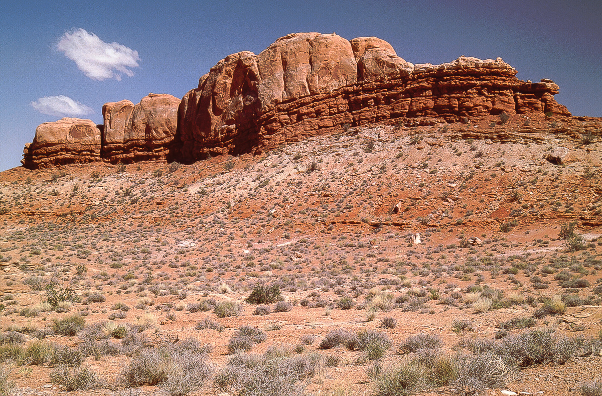
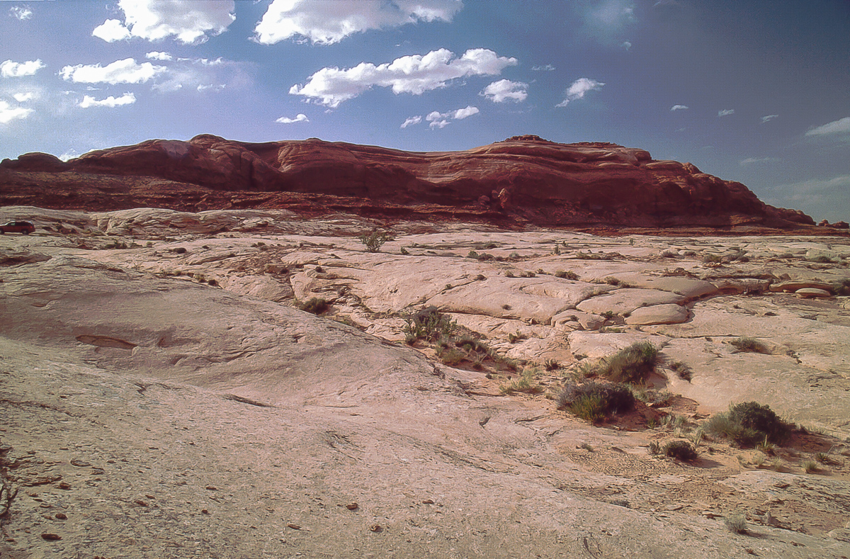
Entrada cliffs from the east
As long as the trail is not on slickrock it is easy visible. Entering the slickrock there are no longer signs of a trail. Find your own! As a hint drive always not far away from the line where the deep red overlay layer begins but stay on the grey slickrock.
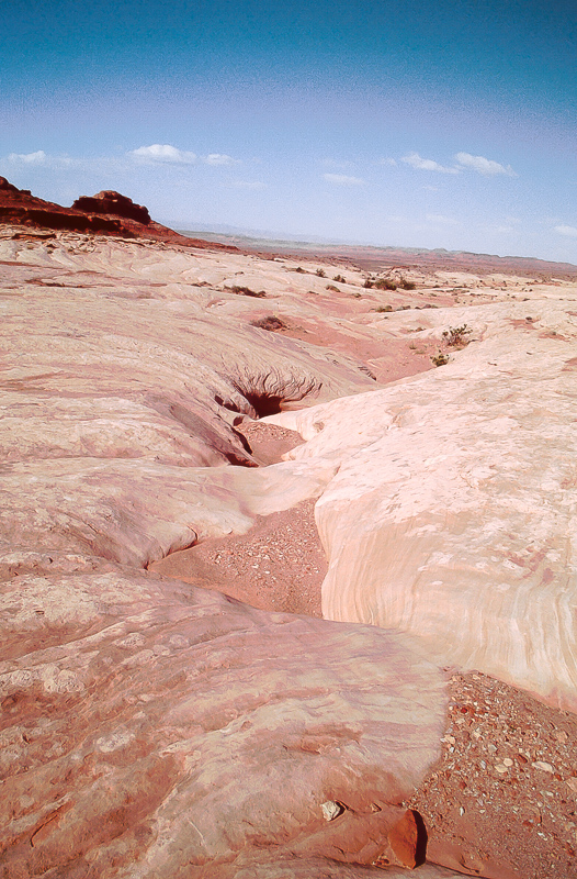
Grey slickrock
The preceding picture shows the place where the low pass is located: Between the little knob and the cliffline to the left.
Slickrock trail
Entrada bluffs
The color banded rocks are south of Three Canyon which is barely visible from this point
Gusty wind was next accompanied with dark clouds to the south. It was not rain, it was a veritable sandstorm.
Going south on slickrock leads in the vicinity from Green Rivers Trin Alcove Bend.
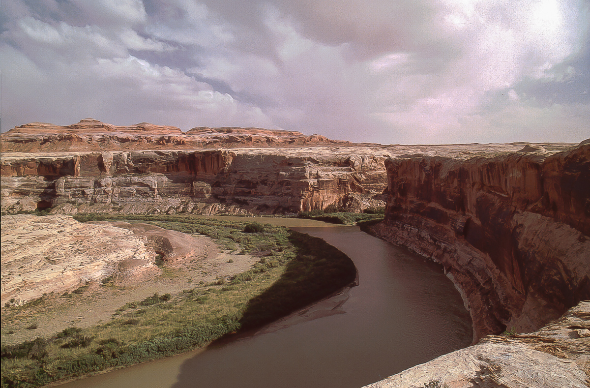
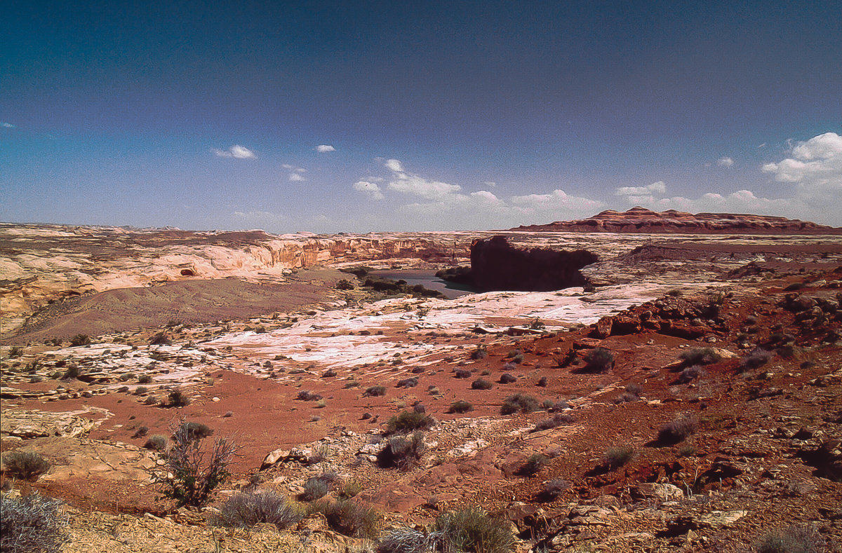
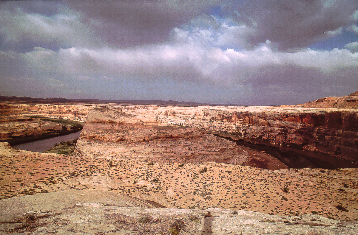
Trin Alcove Bend and mouth of Three Canyon
Trin Alcove Bend
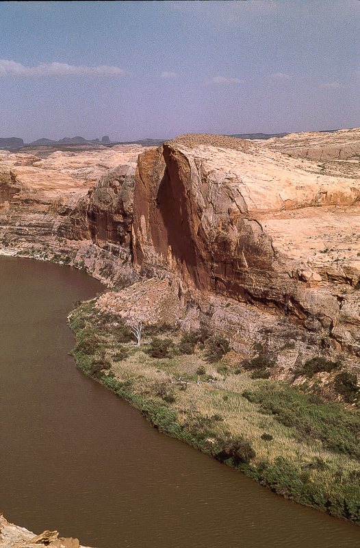
"Little Half Dome" across the river
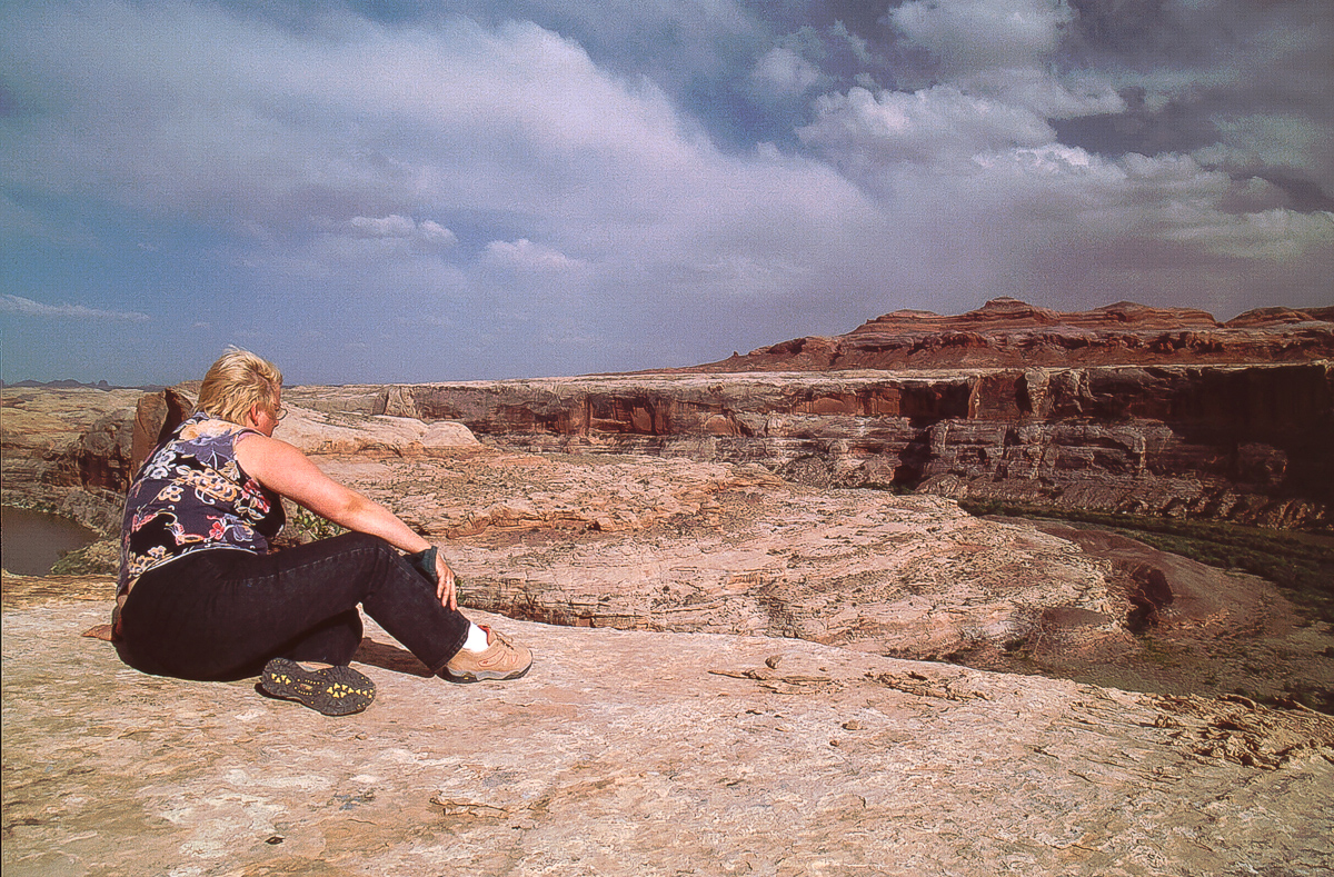
It is not easy to get a good picture from the whole bend
Looking back onto grey and red
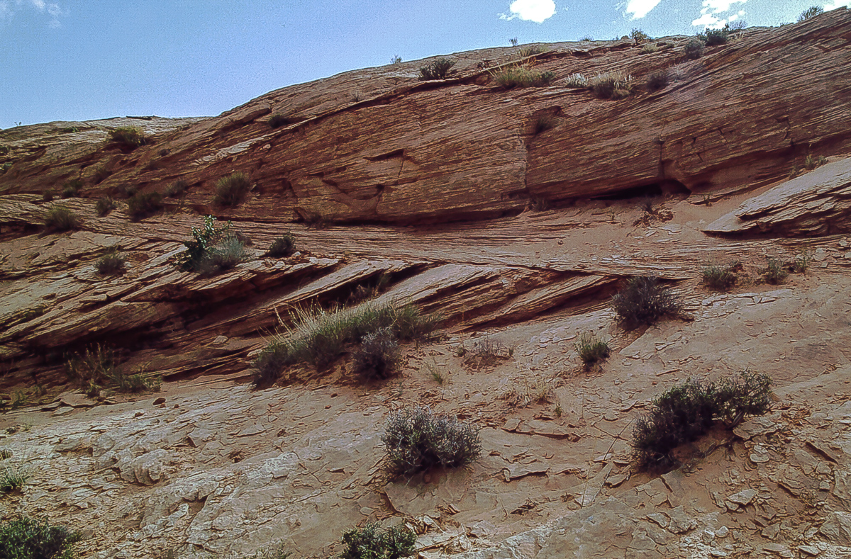
Windblown deposits and erosion horizons
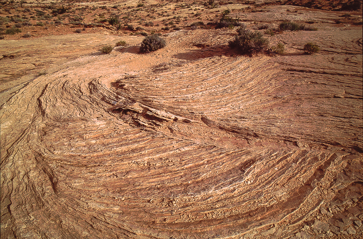
Resembling tree rings
There is a point where the trail becomes visible again as it enters the red layers. It turns more to the west and joins Green River Road in a mile
.
In the meantime the upcoming sandstorm had blown some sand onto the road.
Sand blown onto the road
Finding this trail might be easier starting on the southern end at about 12S 0574560 4285700. Sorry I don't have the coordinates for this place but a trail not far away from th given point is easy to see. It is on the south end of these Entrada Cliffs east of the road. This trail is not on USGS Topomaps.
An old booklet written by Jack Bickers mentioned a route on the west side of the Green River. He called it "Entrada Gap Trail". But his description was mainly for Bull Bottom Stock Trail. How to find this "Gap" trail was vaguely specified. A good requirement to make us courious. Let's go!
Town of Green River, Main Street then on Long Street southward, crossing the railroad tracks. We are still on pavement but at 12S 0570450, 4312668 we leave tarmac for the graveled Road from Green River to Horseshoe Canyon (and lateron the Maze District.
20 miles down the road we cross San Rafael River to find the turnoff for Bull Bottom Trail after additional 2 miles . (12S 0575375, 4287525)
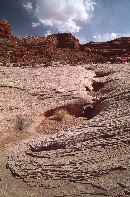
Entrada Cliffs along the Bull Bottom Trail
The historic cattle trails is blocked for ATVs but can be used to walk down to the bottom
At first we didn't find any other track. Returning to the Green River Road we saw a weak trail heading to the cliffline south of Bull Bottom Trail. Dead end at a place with a campfire ring. Back again! On our way back we suddenly stumble opon a barely visible spur back to the east but closer to the cliffs. We gave it a try. Successfully!
The cliffs from the trail
On the northeastern end of the Entrada Cliffs ( 12S 0576765, 4287250) the tracks lead over a low pass. If you are there you are on the right trail.
View from the "pass" onto Green River
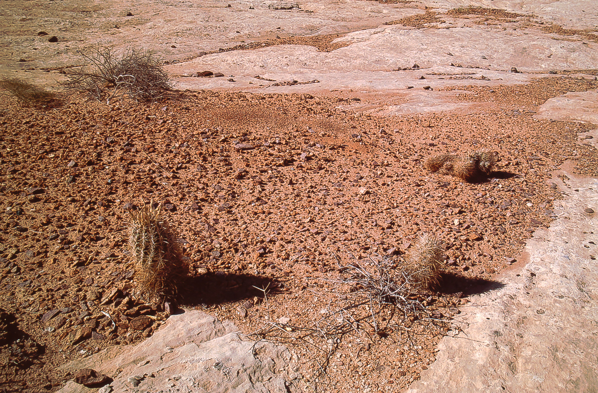
South of the little pass the trail is much better defined. A lot of small dark rocks lie on the ground - chert.
Chert
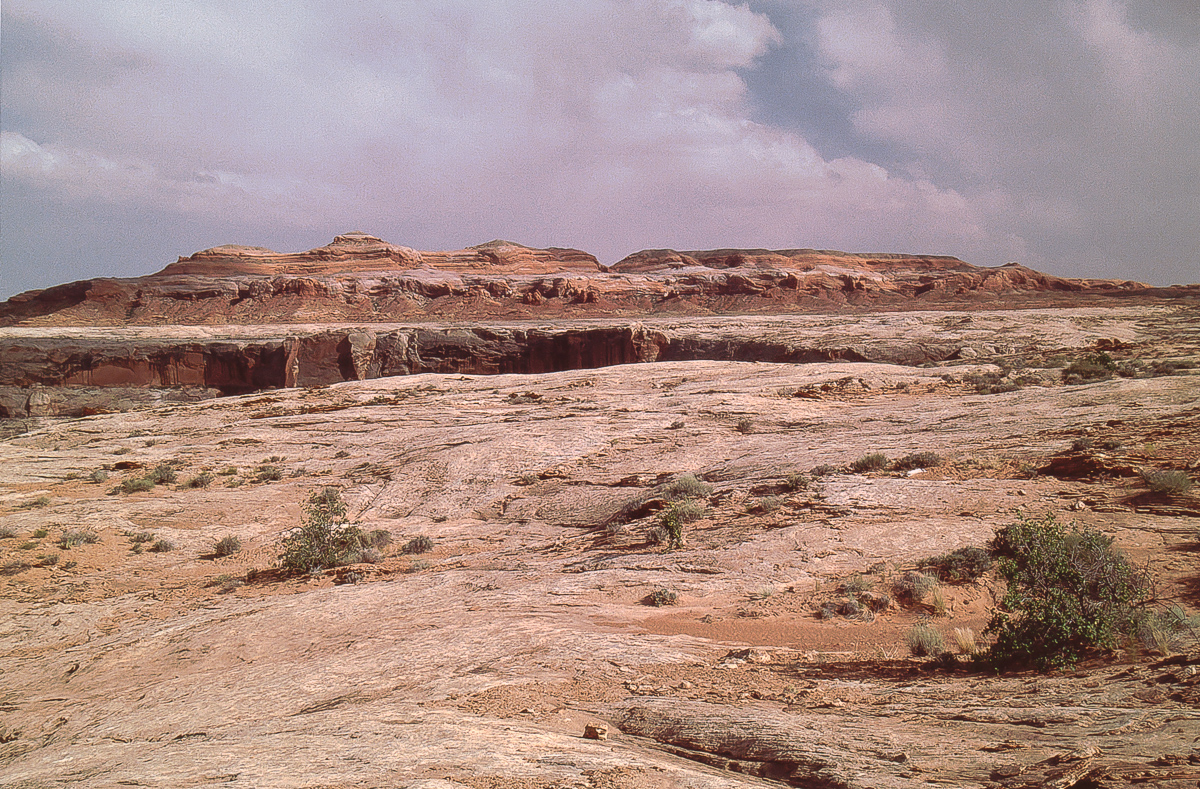
Entrada cliffs from the east
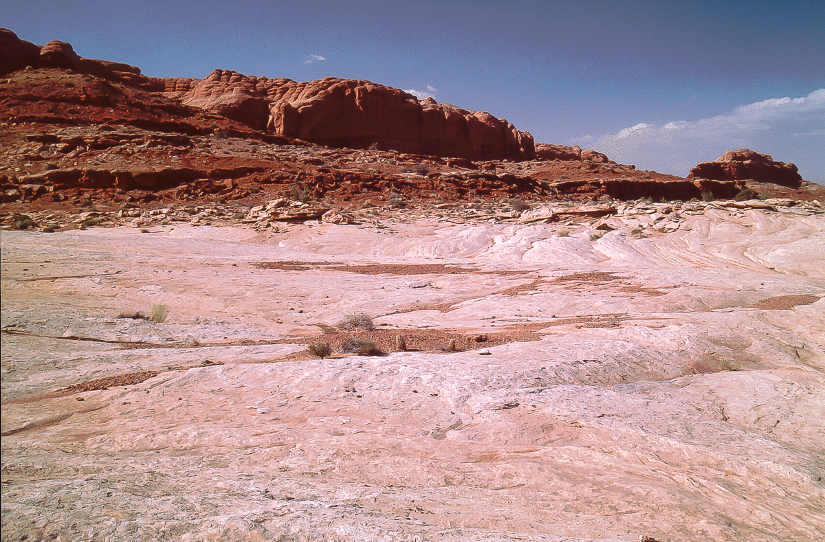
As long as the trail is not on slickrock it is easy visible. Entering the slickrock there are no longer signs of a trail. Find your own! As a hint drive always not far away from the line where the deep red overlay layer begins but stay on the grey slickrock.
Grey slickrock
The preceding picture shows the place where the low pass is located: Between the little knob and the cliffline to the left.
Slickrock trail
Entrada bluffs
The color banded rocks are south of Three Canyon which is barely visible from this point
Gusty wind was next accompanied with dark clouds to the south. It was not rain, it was a veritable sandstorm.
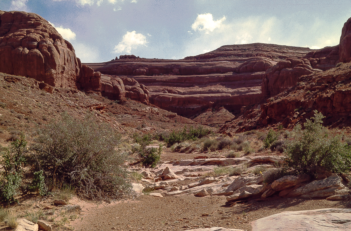
Going south on slickrock leads in the vicinity from Green Rivers Trin Alcove Bend.
Trin Alcove Bend and mouth of Three Canyon
Trin Alcove Bend
"Little Half Dome" across the river
It is not easy to get a good picture from the whole bend
Looking back onto grey and red
Windblown deposits and erosion horizons
Resembling tree rings
There is a point where the trail becomes visible again as it enters the red layers. It turns more to the west and joins Green River Road in a mile
.
In the meantime the upcoming sandstorm had blown some sand onto the road.
Sand blown onto the road
Finding this trail might be easier starting on the southern end at about 12S 0574560 4285700. Sorry I don't have the coordinates for this place but a trail not far away from th given point is easy to see. It is on the south end of these Entrada Cliffs east of the road. This trail is not on USGS Topomaps.