Ben
Member
- Joined
- Sep 12, 2014
- Messages
- 1,873
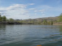
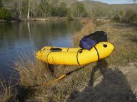
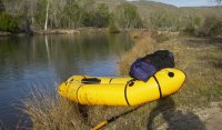
Friday after work i went to go put my packraft on the water for a little more experience with it. There is a stretch of the Boise River that runs through town that people regularly float during the summer. I'd run that section a week before. Friday i decided to put in a little farther up the river to see some of it that i had never seen before. There are dams along the river, and i knew that some stretches i'd be doing would be flat water, but in reality it turned out to be nearly entirely flat. The water stacked behind each dam ran nearly all the way back to the one above it. I put in just below the Lucky Peak Reservoir, and followed the river for about five miles to Barber Park, the main put in for the stretch of the river that is normally floated. It took me two and a half hours, which i don't think is too bad considering the water was barely moving. It was a very nice day. There were three dams that i portaged around. I saw hardly any people, just a few fishers, and some people on the bike path that runs along the river. I did see a lot of birds.
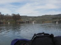
Looking back upriver after i put in. You can see the opening of the reservoir's release tubes center. You can see the edge of the dam coming from behind the trees.
Looking down the canyon. Highway 21 runs alongside the river here.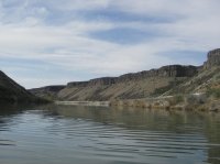
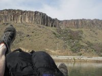
Some of the tallest columns along the cliff.
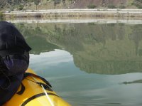
A reflection.
Side draw in the cliffs.
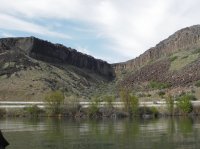
First site of the diversion dam.
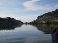
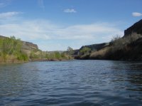
The cliffs on the south side of the river are not so sheer or continuous.
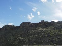
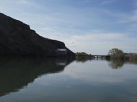
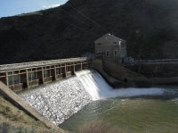
The diversion dam was built more than a century ago now.
Putting back in below. Bushwacking is even more difficulty when you're carrying a raft with you.
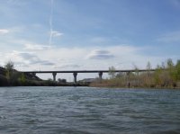
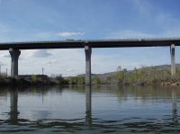
The highway 21 bridge. And a fisher.
High water line?
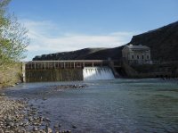
Looking back up to the dam. The canyon opens up at that point.
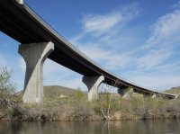
The same bridge.
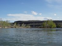
More flat water. The valley broadens.
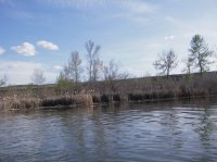
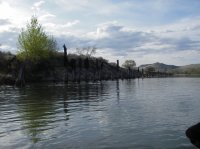
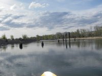
These old logs were strange. They ran for quite a ways, farther than i could ever see at one time. perhaps there used to be a retaining wall along the water.
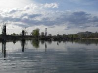
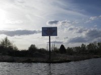
The hazardous water this sign references ahead of it is that spilling over the top of Barber dam.
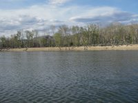
I stopped to pee and eat some chocolate raisins. A lovely island in the middle of the river.
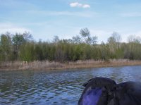
Entering development, houses on the hills.
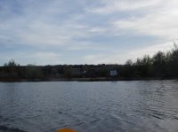
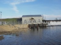
The two blocky structures center are part of the power plant at the Barber Dam. It also is quite old.
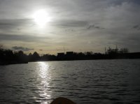
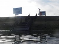
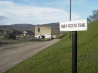
Artifacts from the Barber Dam, and the dam it's self behind.
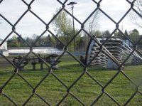
The dam. It was not far beyond here to the last dam, and the park where i met my ride.
Featured image for home page:
Looking back upriver after i put in. You can see the opening of the reservoir's release tubes center. You can see the edge of the dam coming from behind the trees.

Looking down the canyon. Highway 21 runs alongside the river here.

Some of the tallest columns along the cliff.

A reflection.

Side draw in the cliffs.

First site of the diversion dam.

The cliffs on the south side of the river are not so sheer or continuous.


The diversion dam was built more than a century ago now.

Putting back in below. Bushwacking is even more difficulty when you're carrying a raft with you.

The highway 21 bridge. And a fisher.

High water line?

Looking back up to the dam. The canyon opens up at that point.

The same bridge.


More flat water. The valley broadens.


These old logs were strange. They ran for quite a ways, farther than i could ever see at one time. perhaps there used to be a retaining wall along the water.


The hazardous water this sign references ahead of it is that spilling over the top of Barber dam.

I stopped to pee and eat some chocolate raisins. A lovely island in the middle of the river.


Entering development, houses on the hills.

The two blocky structures center are part of the power plant at the Barber Dam. It also is quite old.


Artifacts from the Barber Dam, and the dam it's self behind.

The dam. It was not far beyond here to the last dam, and the park where i met my ride.

Featured image for home page:

