Udink
Still right here.
- Joined
- Jan 17, 2012
- Messages
- 1,692
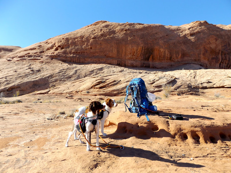
This was to be an overnight backpacking trip, but my lack of proper planning and understanding turned it into a disappointing day-hike. I had planned to do a backpacking loop into the Dirty Devil River gorge, descending the west side of the Angel Point Trail and visiting several rock art sites along the river and in Robber's Roost Canyon, then climbing out the next day at the Lower Sand Slide. To that end, I left home at 6AM and arrived at the top of the Lower Sand Slide before 9AM. I wanted to get the demoralizing 2.6-mile road-walk out of the way at the beginning of the trip. The dogs and I set out along the road and, while it was still just below freezing, I warmed up fairly quickly from the exertion of carrying a 40+ pound pack.
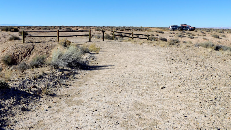
Leaving the Jeep at the top of the Lower Sand Slide
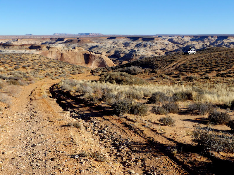
Henry Mountains
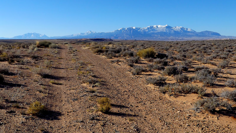
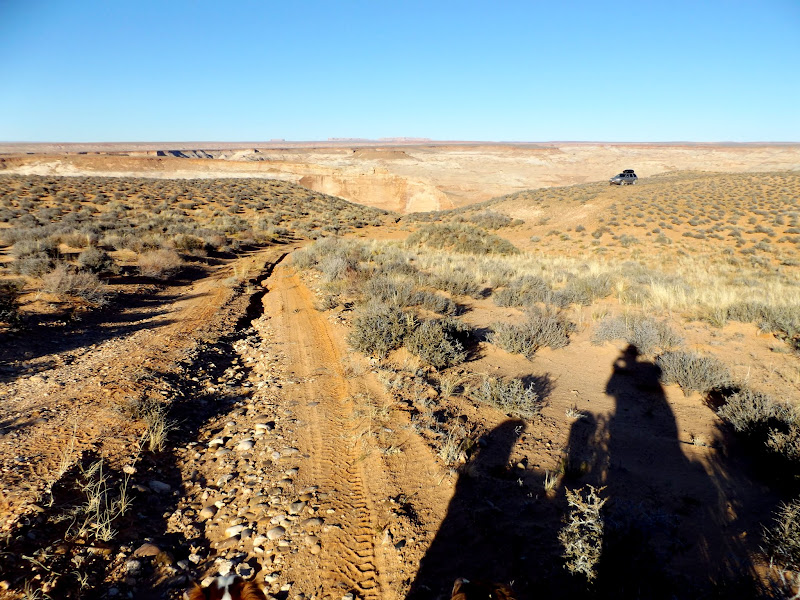
Walking the road
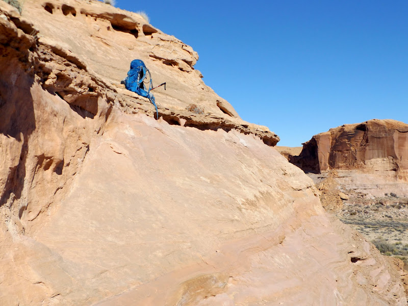
An hour and a half later I was at the Angel Point Trailhead. There are two variations to the west side of the Angel Point Trail: the route listed on the USGS 7.5' topo map that enters the Dirty Devil via Beaver Canyon, or a slightly shorter route that enters the Dirty-D just above the confluence with Beaver. I chose the latter, even though I'd read online about a sketchy drop that may be difficult with a heavy pack (or, perhaps, with two dogs). The descent was really fun, at first following a well-worn foot trail through Summerville Formation soils, then turning into a cairned route across Navajo Sandstone. I hit the ledgy section that must have been the difficult part that I read about. The one sketchy ledge was indeed too difficult for me to descend with my pack on. I took the pack off and set it on top of the ledge, then descended the rest of the ledgy section to scout it out before committing. I returned to my pack and pulled it down over my head, and repeated the same move on another ledge below, then I was almost at the bottom with only a short distance remaining to the Dirty Devil River.
Top of the Angel Point Trail
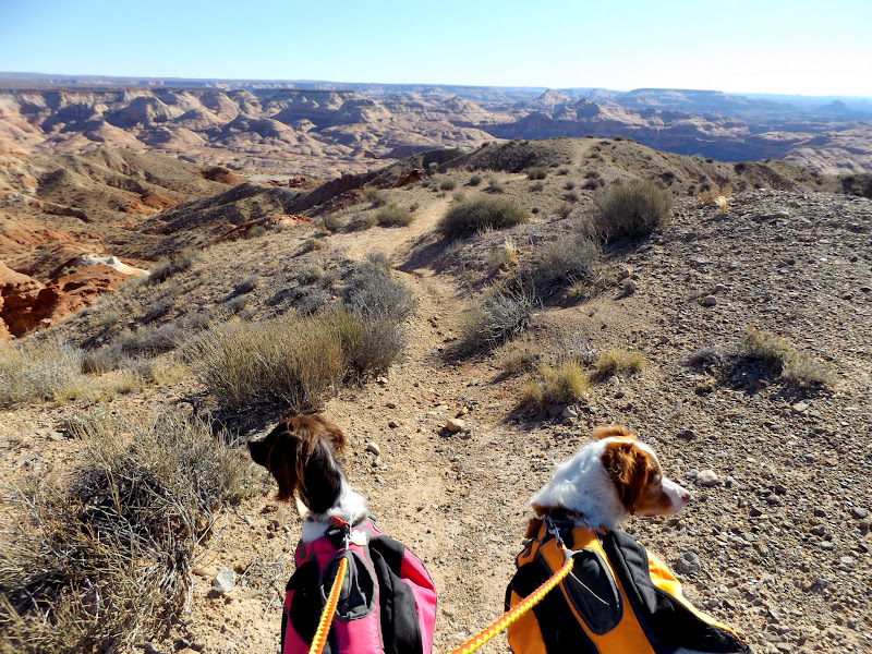
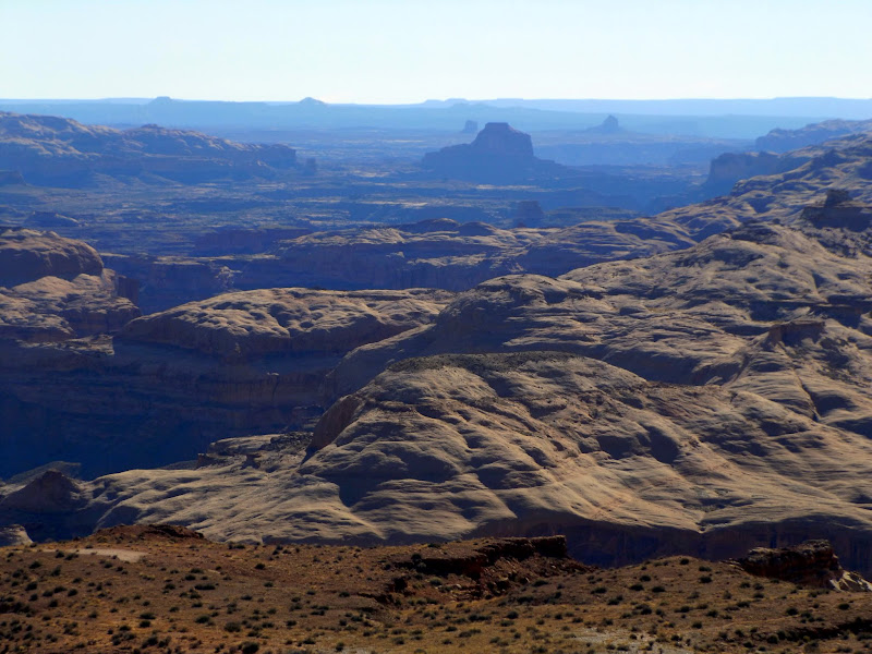
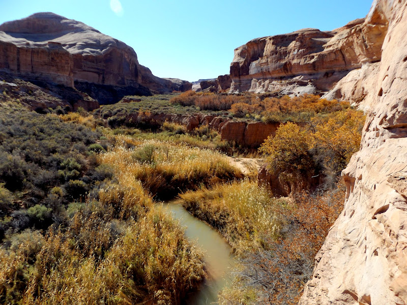
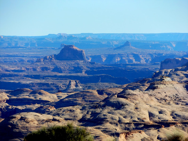
Long view downstream along the Dirty-D
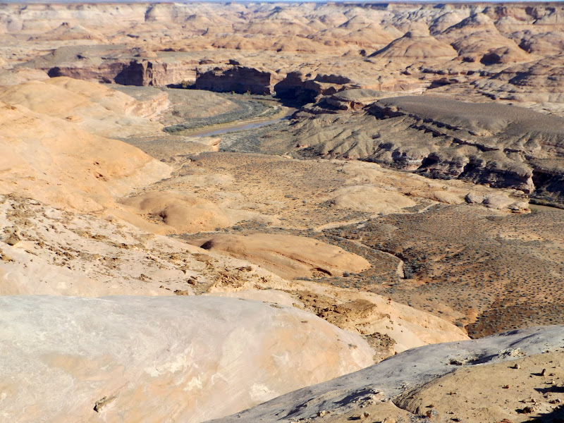
Upstream Dirty-D
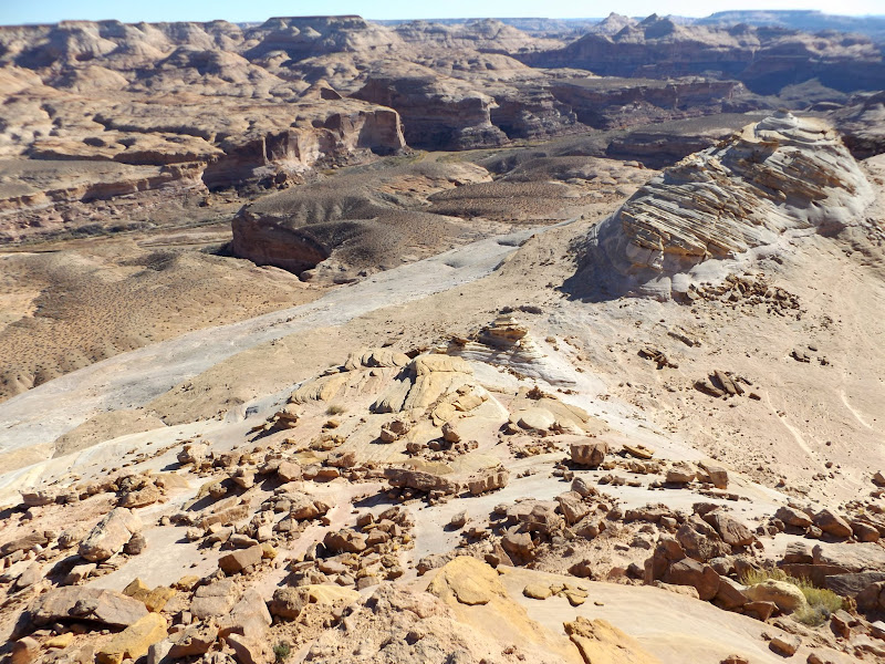
Angel Point Trail at the top of the slickrock section
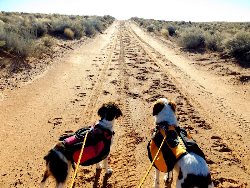
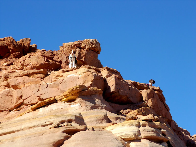
Torrey and Boulder waiting for permission to descend
Rest stop
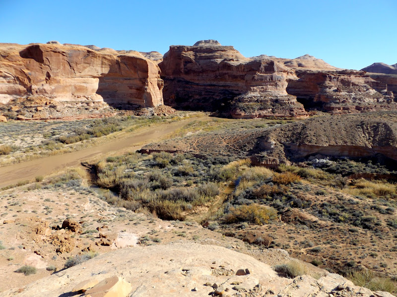
Confluence of Beaver Canyon and the Dirty Devil River
Tough section with a big pack
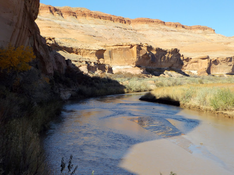
Once at the river my plan was to walk along the bank upstream and visit Angel Cove and several rock art sites on this same side of the river. I hadn't planned to cross the Dirty Devil until I was adjacent to Robbers Roost Canyon. However, after walking only a short distance along the river the trail got pinched out where the river flowed right up against a cliff. It had looked passable in Google Earth, but in reality I'd have to get in the water much sooner than I'd planned. I tried gauging the depth with a trekking pole but it couldn't reach the bottom! That alone really worried me but, in addition, the sand/mud at the edge of the river was very much like quicksand--a few hits with the trekking pole and it went from solid-looking to a liquid.
Dirty Devil River
It was easy yet painful to make the decision to cancel my plan and hike back up the trail. I simply wasn't prepared to swim across the river--I had been hoping for something more like knee- to thigh-deep water. Getting myself across, along with both dogs and my backpack (while keeping it dry) would have been a huge ordeal, and by my estimation I would have needed to cross at least seven more times throughout both days of the trip. I suppose I could have tried finding shallower spots to cross, but I knew I wouldn't have time or energy to do that for each of the eight river crossings. The river had been flowing as low as 95cfs the day before, but peaked at about 113cfs while I was there. Going back up the ledgy spots was relatively easy without having to remove my pack. The road-walk was downright demeaning this time around. Somehow I managed to make the return trip much faster than the trip into the river gorge--it was 3.5 hours in and less than 3 hours back out. This really could have been an easy and enjoyable day-hike if I'd planned it that way. The Angel Point Trail is a scenic, fun route, but for me, at least, only worth the long drive if combined with the good stuff that I missed.
Lower Beaver Canyon
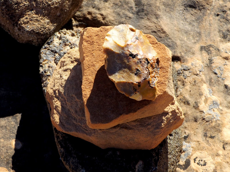
Cairn with roughly-worked chert tool on top
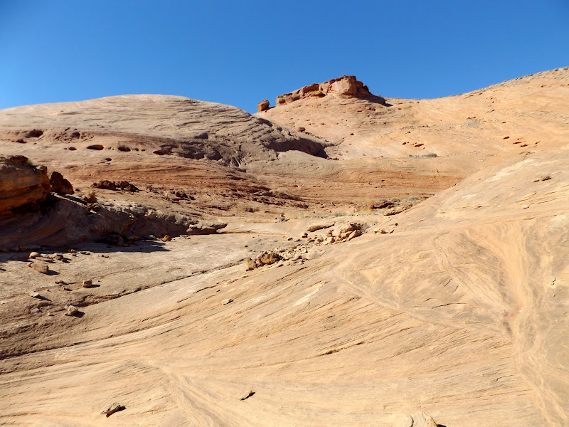
Steep section of the Angel Point Trail
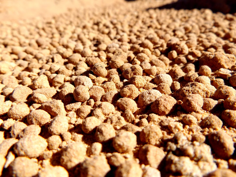
Navajo balls
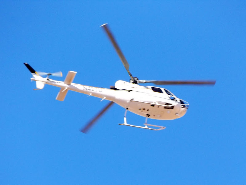
It's a chopper, baby
Angel Point Trailhead
Long view downstream along the Dirty-D
Almost back to the Jeep
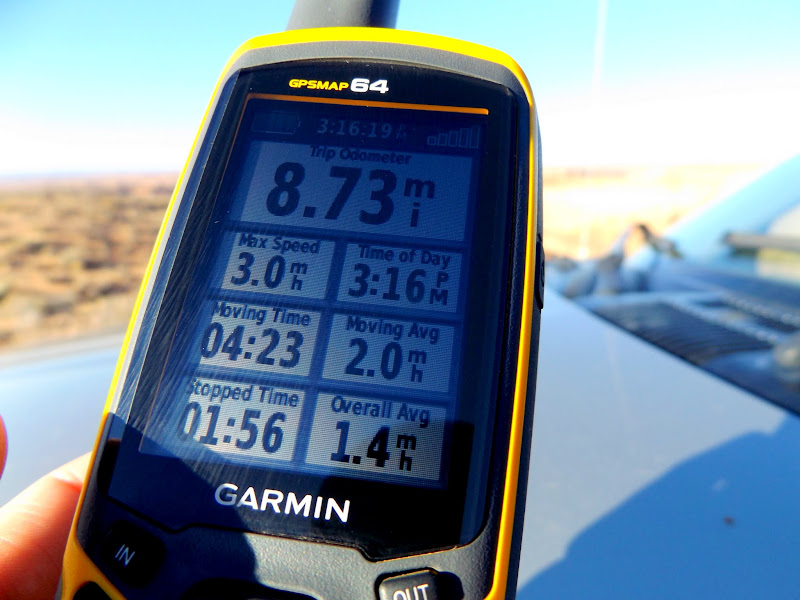
Hike stats
Sunset on Mt. Elliott and the Book Cliffs
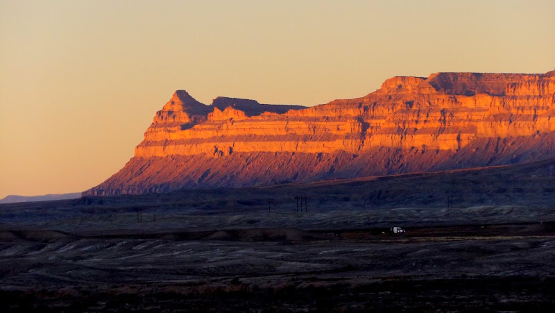
Photo Gallery: Angel Point Trail - West
GPS Track and Photo Waypoints:
[ Google Earth KMZ ] [ Gmap4 Satellite ] [ Gmap4 Topo ]
Featured image for home page:

Leaving the Jeep at the top of the Lower Sand Slide
Henry Mountains
Walking the road
An hour and a half later I was at the Angel Point Trailhead. There are two variations to the west side of the Angel Point Trail: the route listed on the USGS 7.5' topo map that enters the Dirty Devil via Beaver Canyon, or a slightly shorter route that enters the Dirty-D just above the confluence with Beaver. I chose the latter, even though I'd read online about a sketchy drop that may be difficult with a heavy pack (or, perhaps, with two dogs). The descent was really fun, at first following a well-worn foot trail through Summerville Formation soils, then turning into a cairned route across Navajo Sandstone. I hit the ledgy section that must have been the difficult part that I read about. The one sketchy ledge was indeed too difficult for me to descend with my pack on. I took the pack off and set it on top of the ledge, then descended the rest of the ledgy section to scout it out before committing. I returned to my pack and pulled it down over my head, and repeated the same move on another ledge below, then I was almost at the bottom with only a short distance remaining to the Dirty Devil River.
Top of the Angel Point Trail
Long view downstream along the Dirty-D
Upstream Dirty-D
Angel Point Trail at the top of the slickrock section
Torrey and Boulder waiting for permission to descend
Rest stop
Confluence of Beaver Canyon and the Dirty Devil River
Tough section with a big pack
Once at the river my plan was to walk along the bank upstream and visit Angel Cove and several rock art sites on this same side of the river. I hadn't planned to cross the Dirty Devil until I was adjacent to Robbers Roost Canyon. However, after walking only a short distance along the river the trail got pinched out where the river flowed right up against a cliff. It had looked passable in Google Earth, but in reality I'd have to get in the water much sooner than I'd planned. I tried gauging the depth with a trekking pole but it couldn't reach the bottom! That alone really worried me but, in addition, the sand/mud at the edge of the river was very much like quicksand--a few hits with the trekking pole and it went from solid-looking to a liquid.
Dirty Devil River
It was easy yet painful to make the decision to cancel my plan and hike back up the trail. I simply wasn't prepared to swim across the river--I had been hoping for something more like knee- to thigh-deep water. Getting myself across, along with both dogs and my backpack (while keeping it dry) would have been a huge ordeal, and by my estimation I would have needed to cross at least seven more times throughout both days of the trip. I suppose I could have tried finding shallower spots to cross, but I knew I wouldn't have time or energy to do that for each of the eight river crossings. The river had been flowing as low as 95cfs the day before, but peaked at about 113cfs while I was there. Going back up the ledgy spots was relatively easy without having to remove my pack. The road-walk was downright demeaning this time around. Somehow I managed to make the return trip much faster than the trip into the river gorge--it was 3.5 hours in and less than 3 hours back out. This really could have been an easy and enjoyable day-hike if I'd planned it that way. The Angel Point Trail is a scenic, fun route, but for me, at least, only worth the long drive if combined with the good stuff that I missed.
Lower Beaver Canyon
Cairn with roughly-worked chert tool on top
Steep section of the Angel Point Trail
Navajo balls
It's a chopper, baby
Angel Point Trailhead
Long view downstream along the Dirty-D
Almost back to the Jeep
Hike stats
Sunset on Mt. Elliott and the Book Cliffs
Photo Gallery: Angel Point Trail - West
GPS Track and Photo Waypoints:
[ Google Earth KMZ ] [ Gmap4 Satellite ] [ Gmap4 Topo ]
Featured image for home page:
")