hatchcanyon
Member
- Joined
- May 29, 2013
- Messages
- 136
May 2006
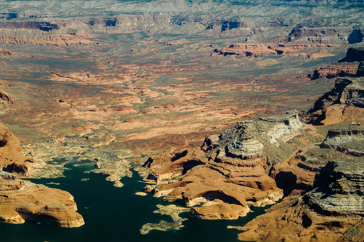
My wife and me planned another flight with Tim Martin from Moab, Canyonlands Airfield down the Colorado River to the Coyote Buttes and back again. Fortunately Tim could do that for us. So we started early in the morning. My Lady had a new digital SRL, I was still holding on my trusted analog SLR. She was sitting on the backseats, my place was next to Tim.
Here are some pictures. Hope you enjoy! More can be found at Fly with The Eagle
The Originals have a size of 1200 x 900 pixels.
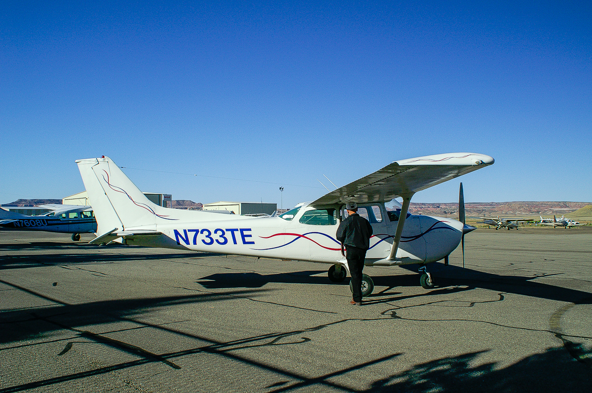
Tim Martin and the plane
Island in the Sky - Airport Tower
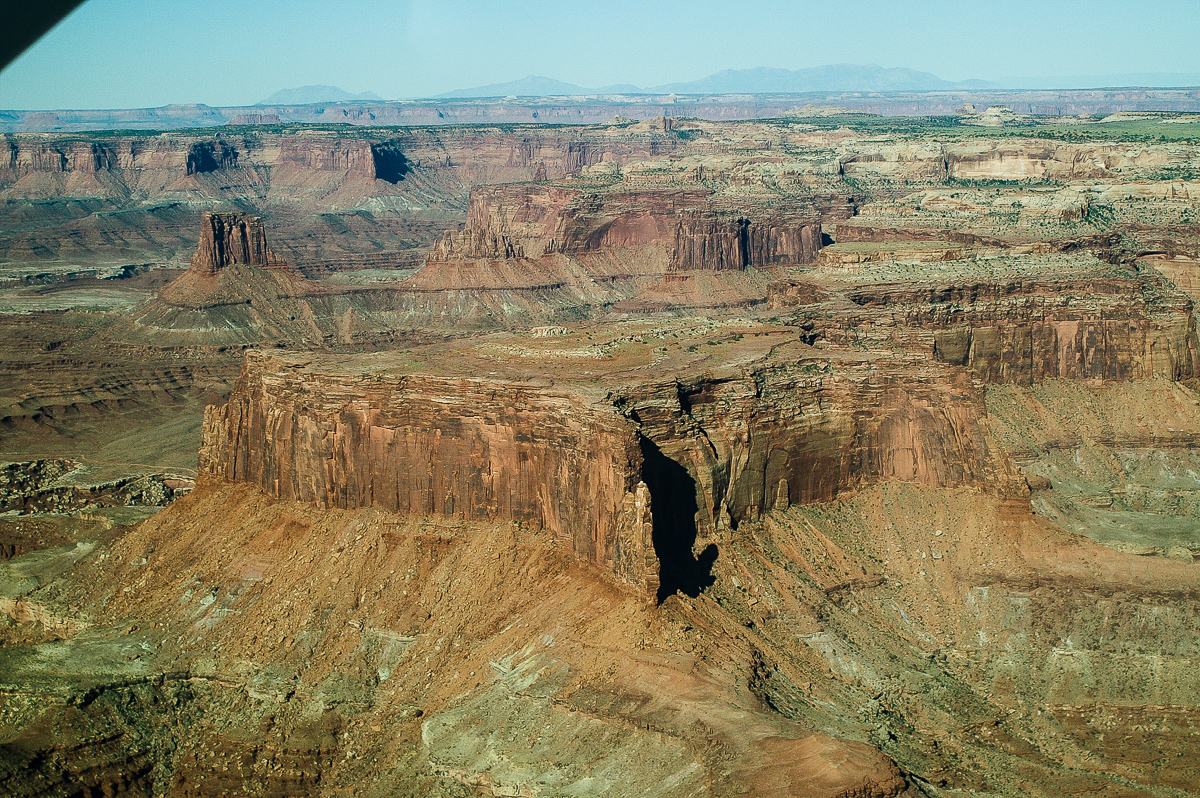
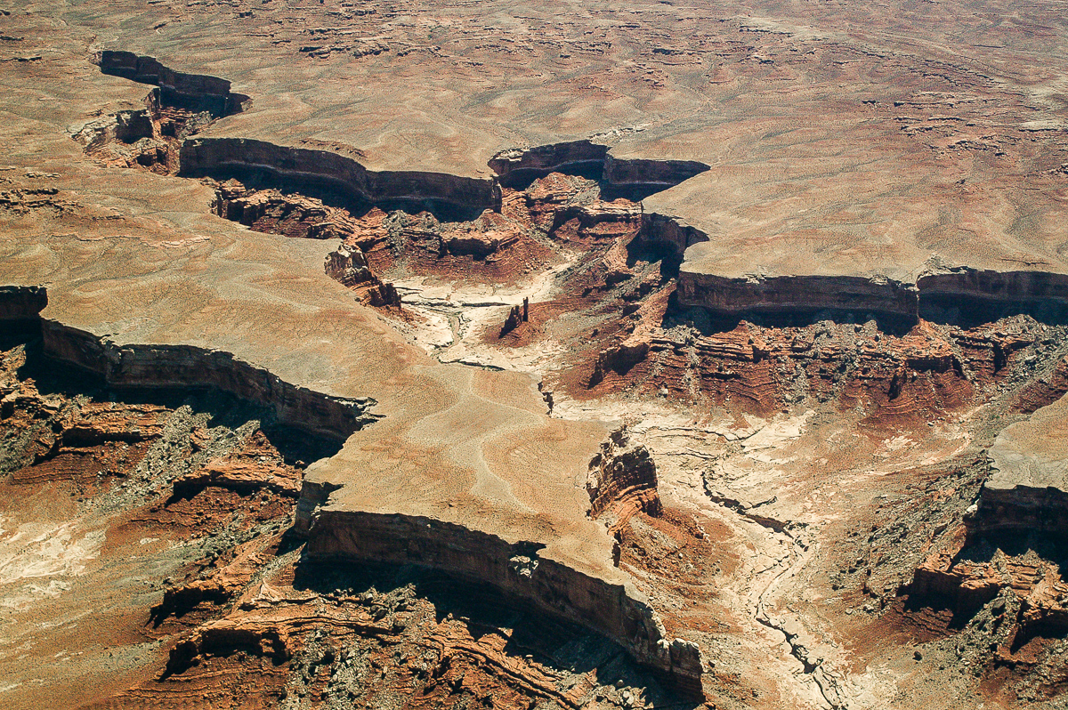
Lathrop and Buck Canyon - White Rim
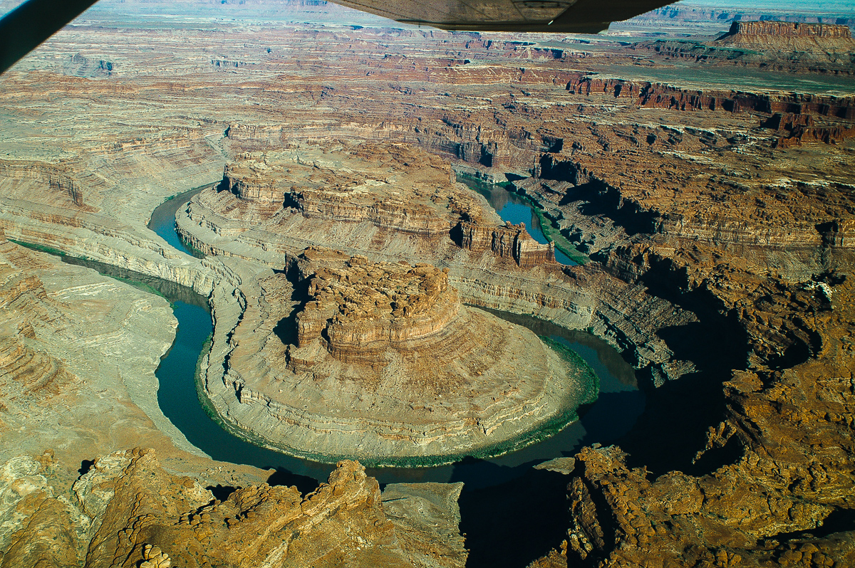
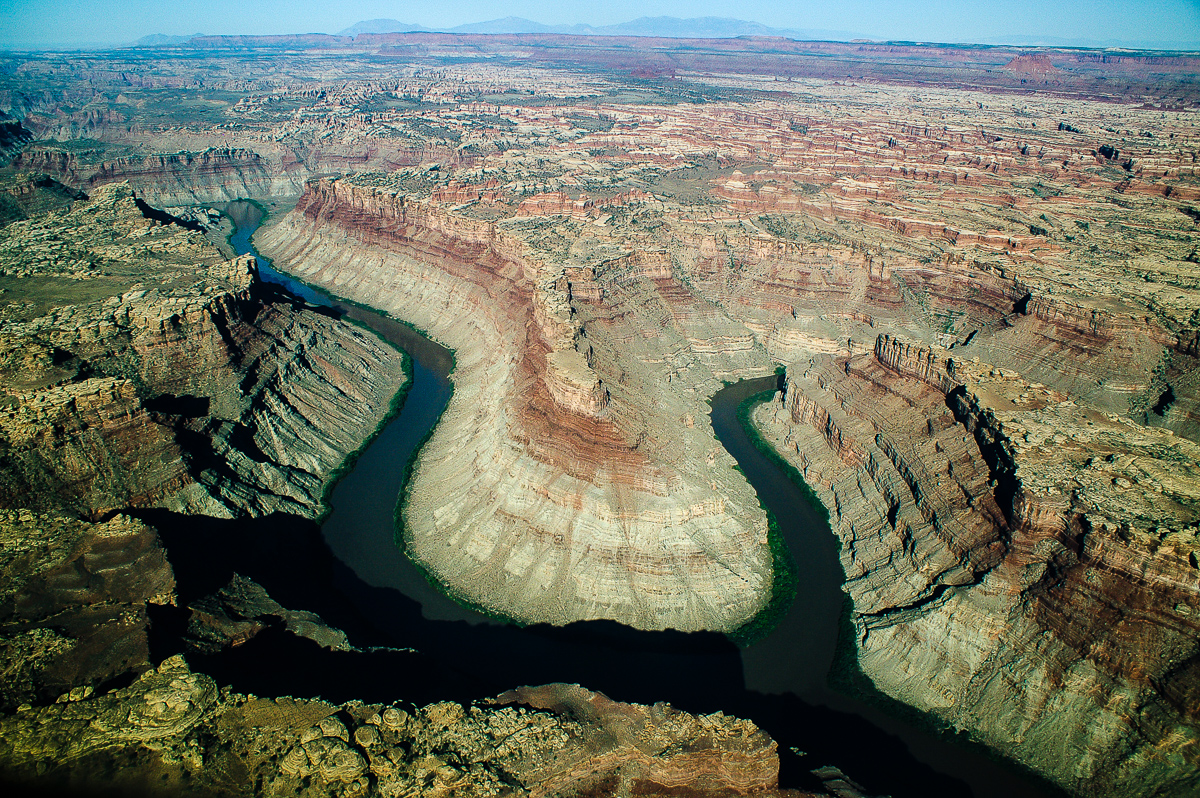
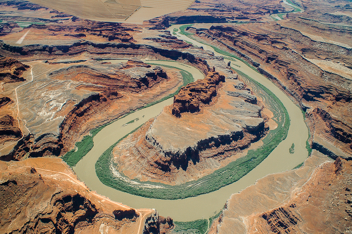
The Loop
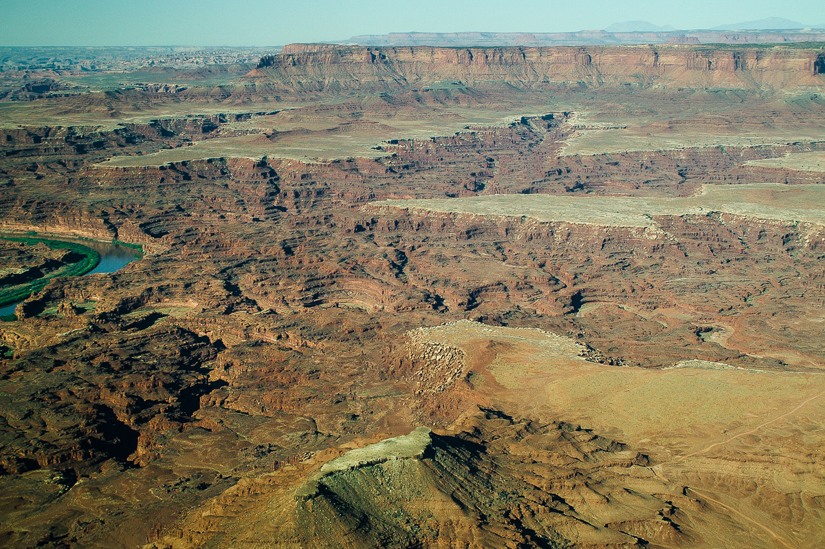
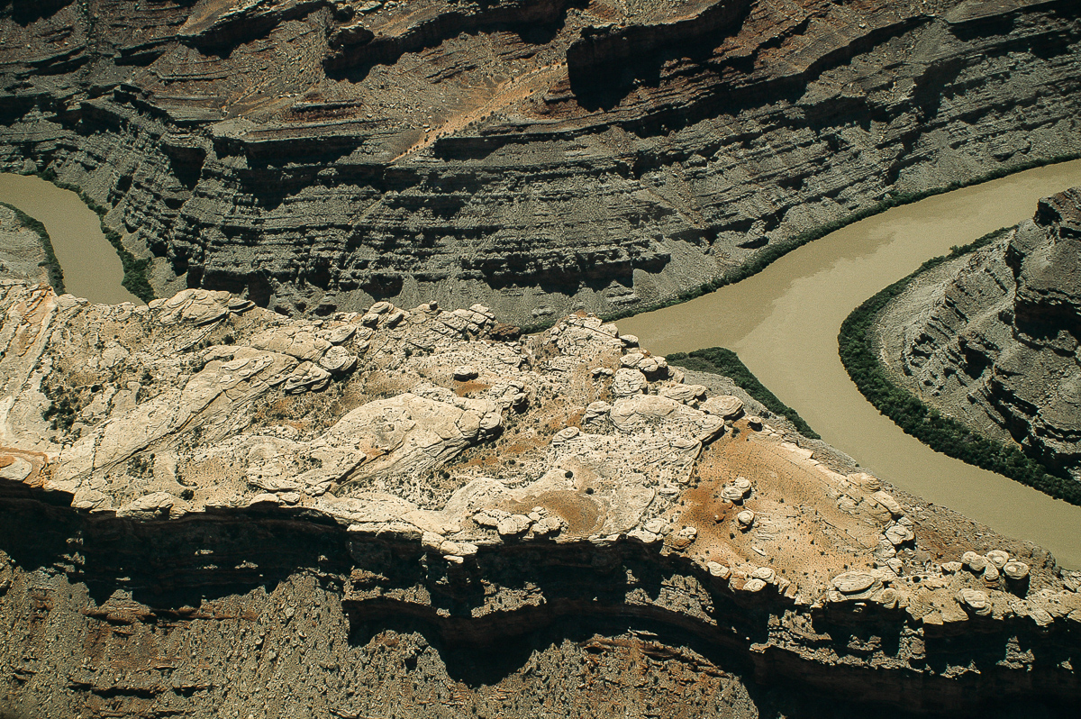
Colorado River - Green River Confluence
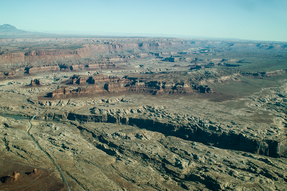
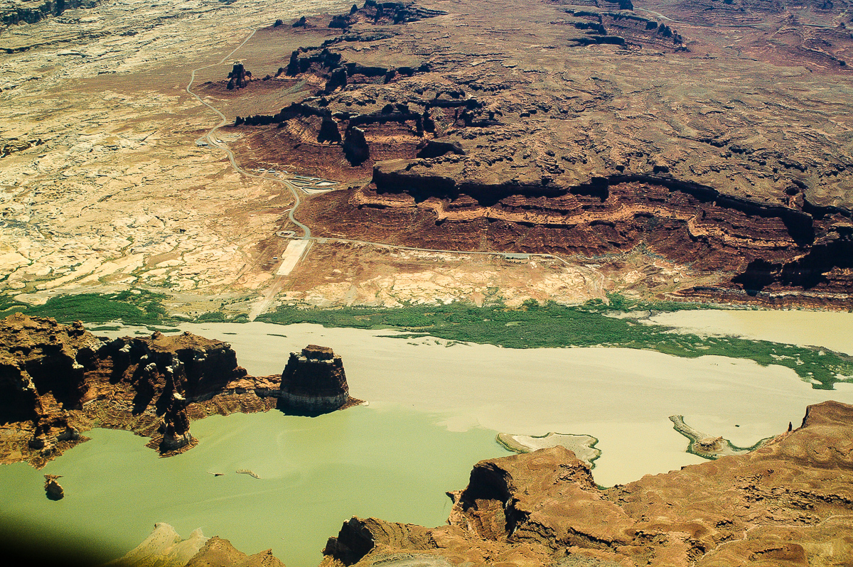
Nearby Hite
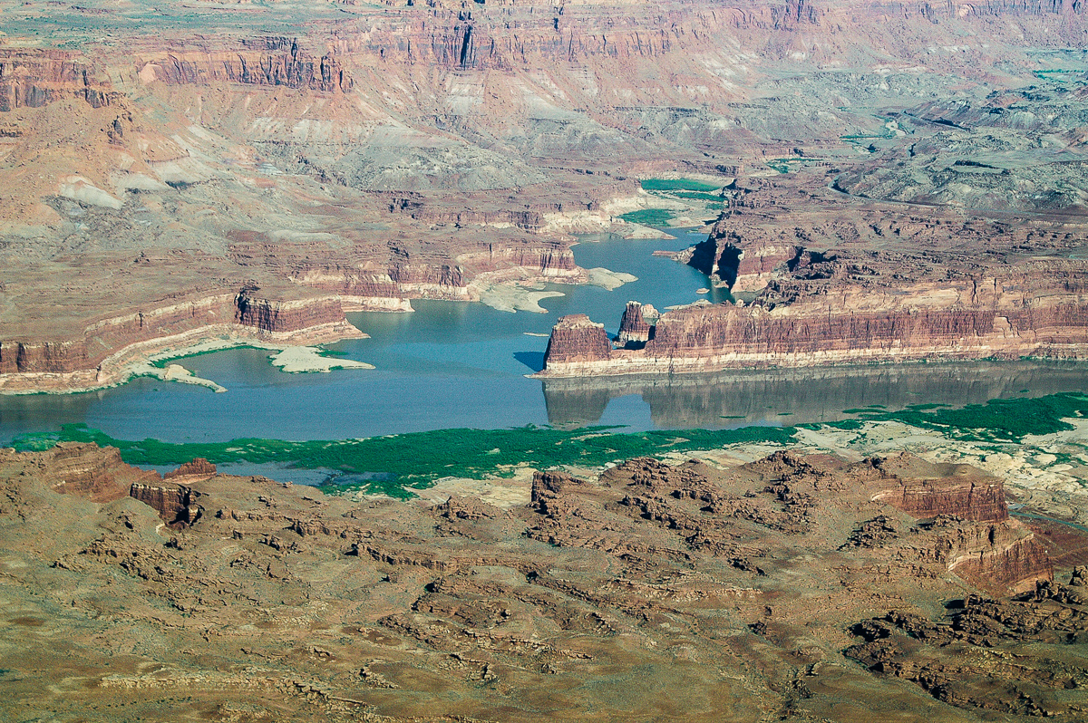
Mouth of North Wash
White Canyon
Ticaboo Canyon
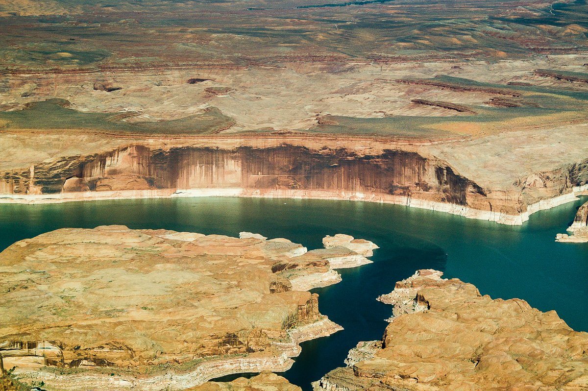
Tapestry Wall
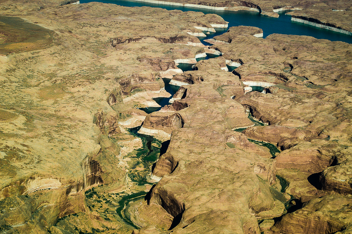
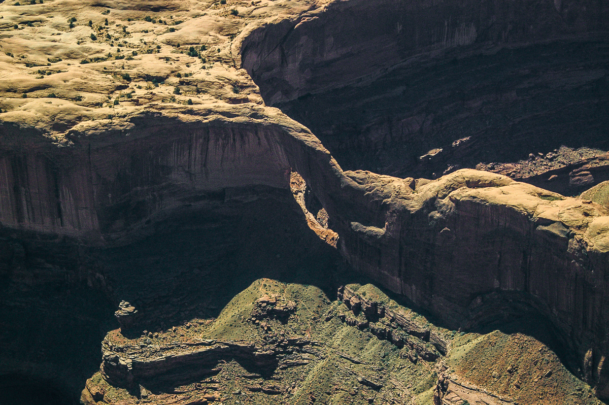
Forgotten Canyon
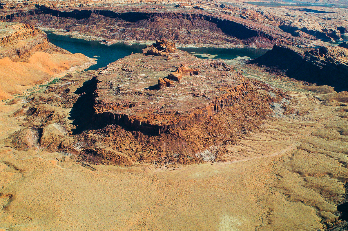
The Rincon
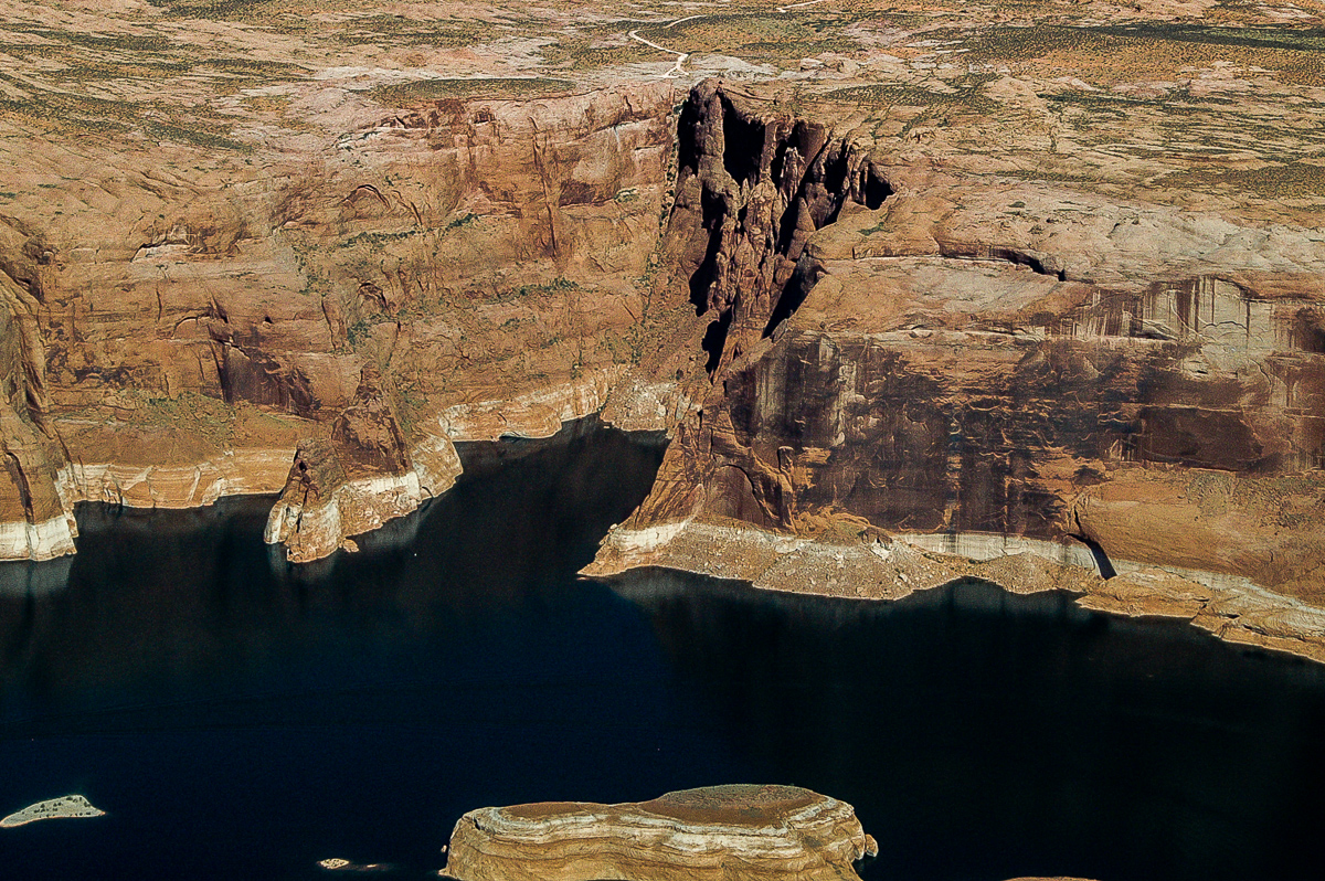
Hole in the Rock
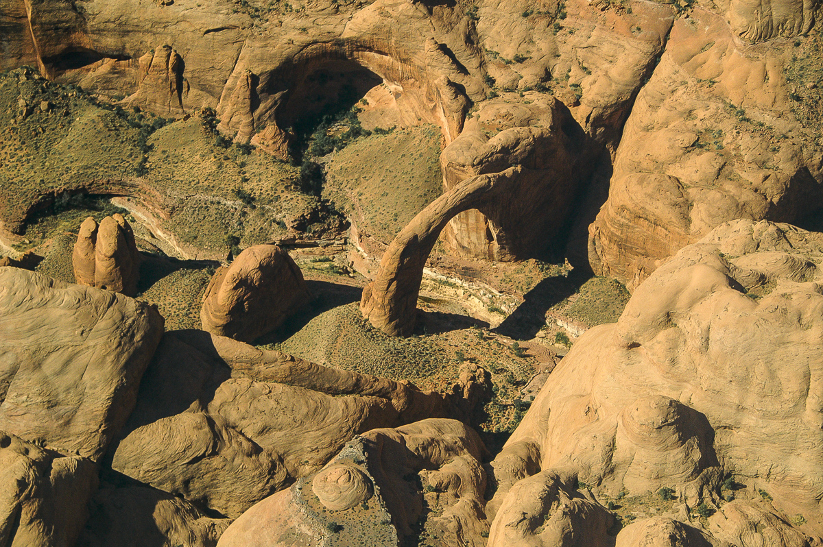
Rainbow Bridge
Teddys Horse Pasture
The old Colorado River Goosenecks
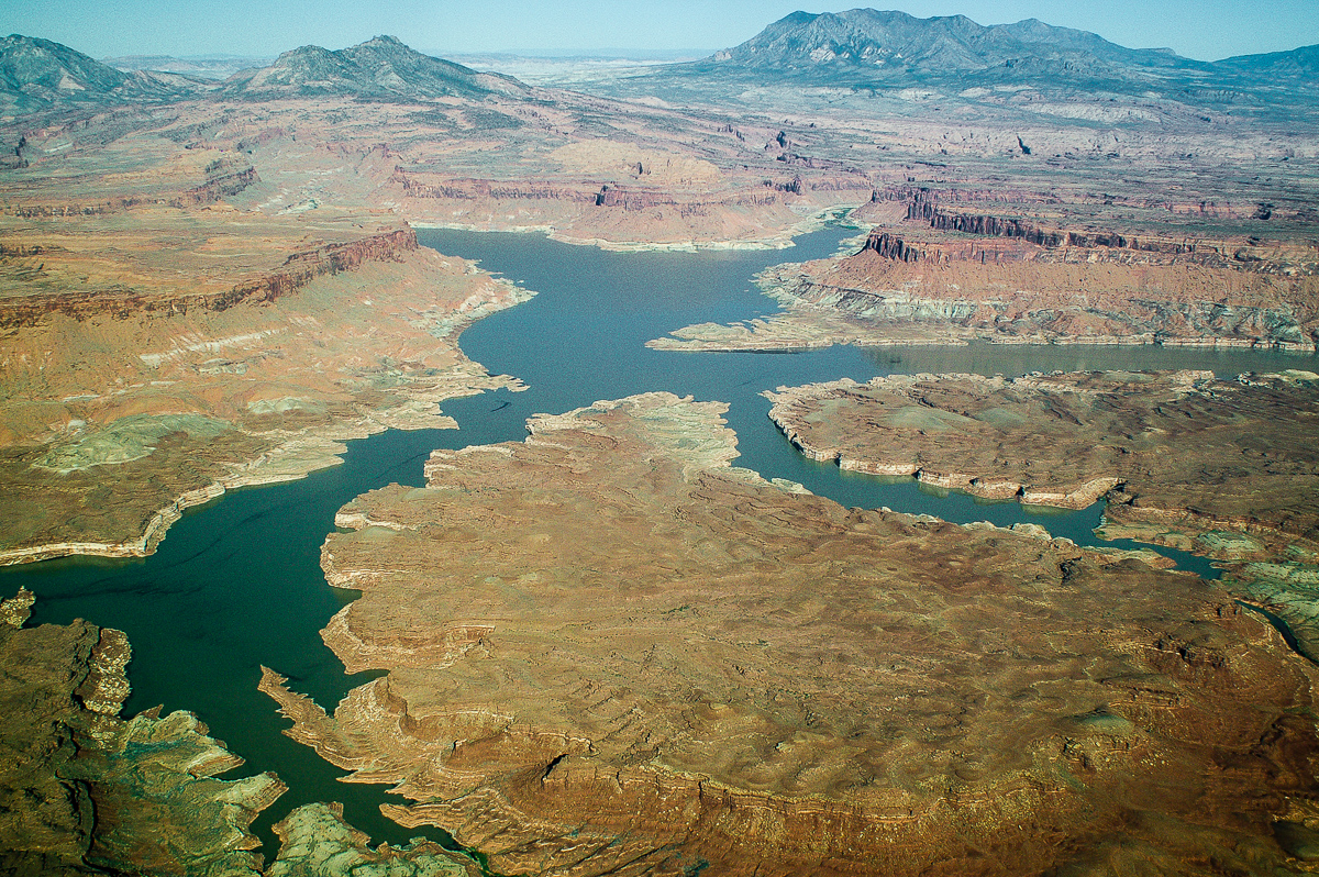
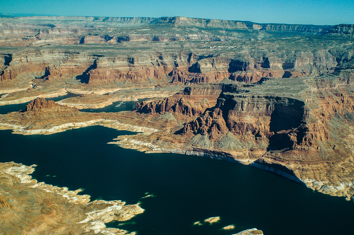
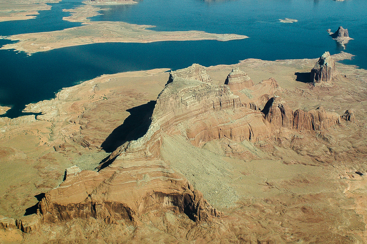
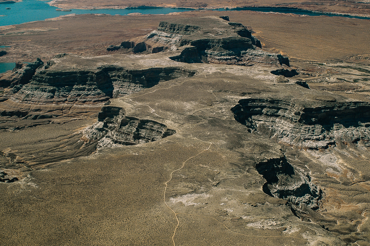
Last Chance Bay
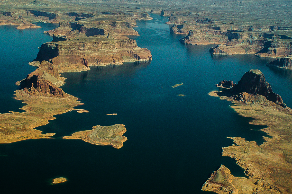
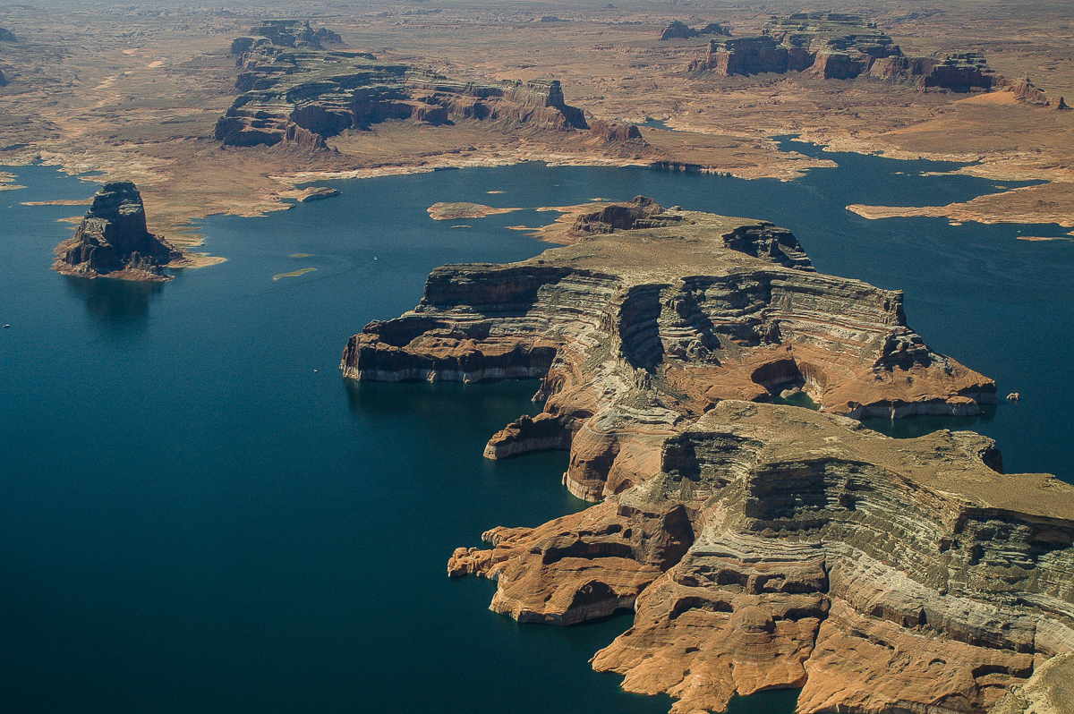
Dominguez and Padre Buttes
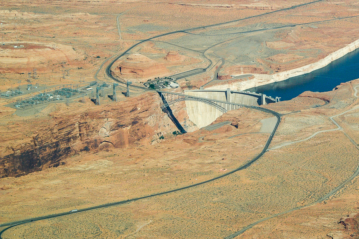
Glen Canyon Dam
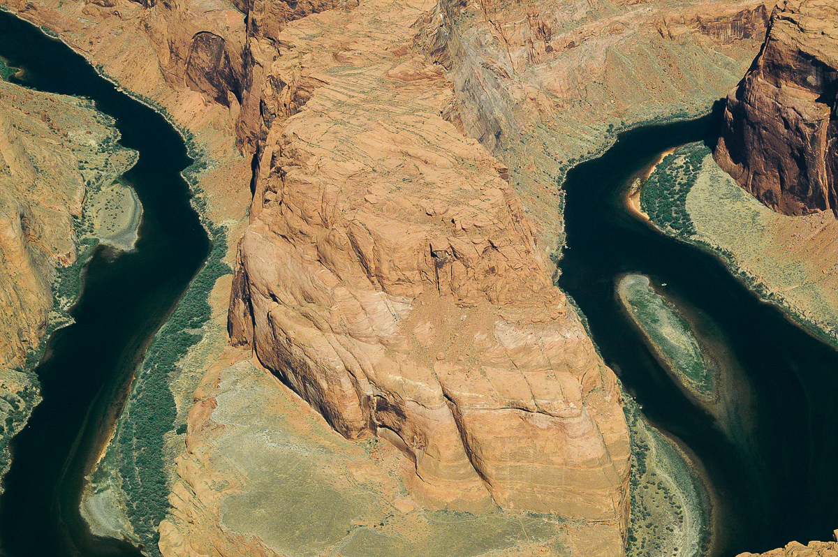
Partially: Horseshoe Bend
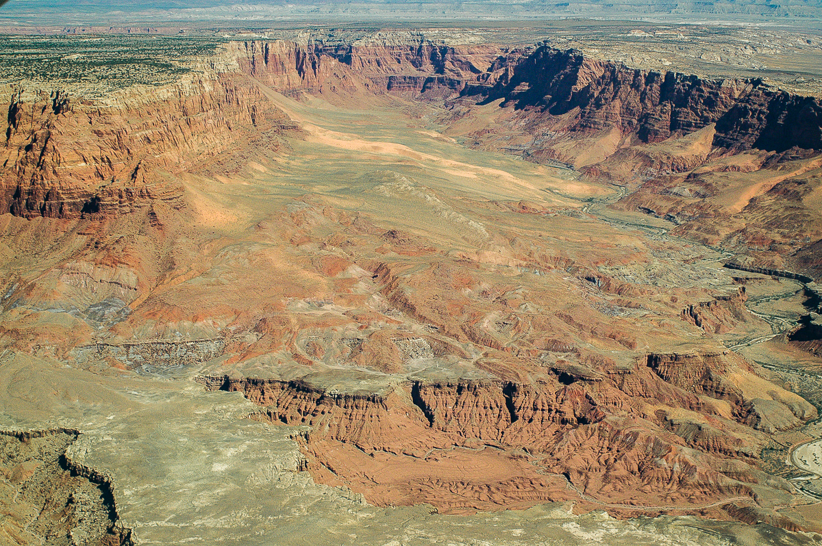
Paria River Canyon
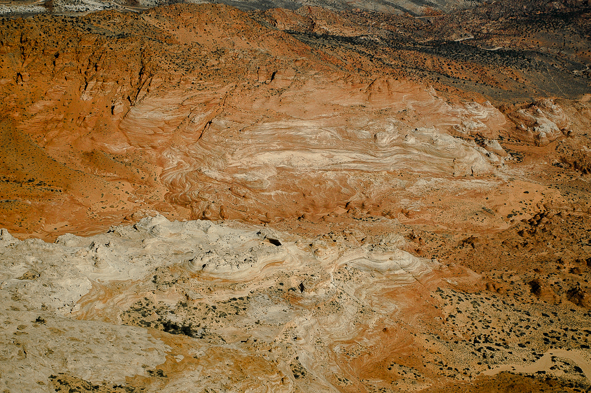
Coyote Butte North
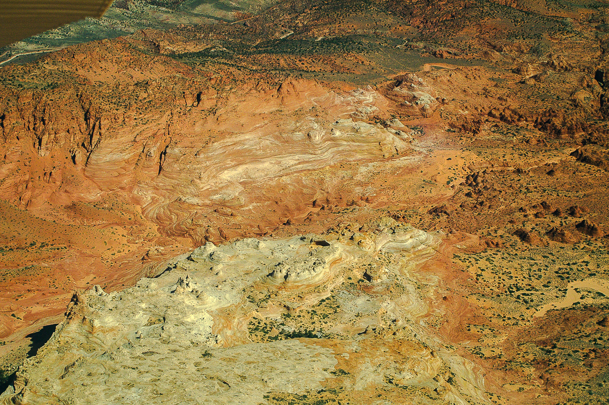
Coyote Butte North
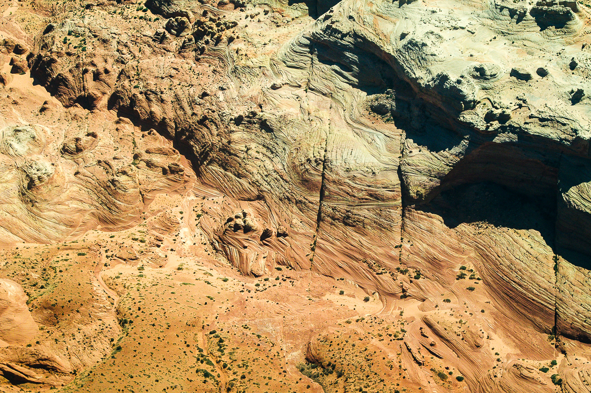
Coyote Butte North
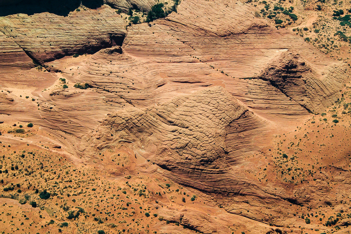
Coyote Butte North
Nipple Bench
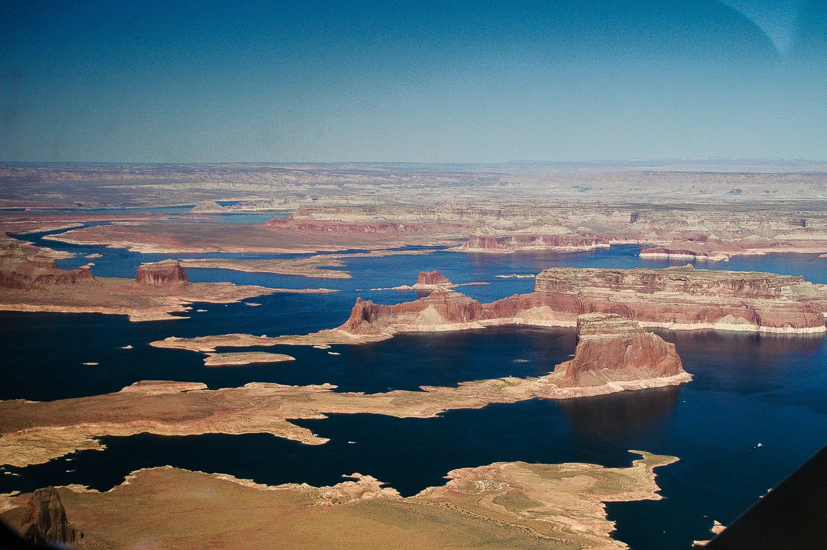
Alstrom Point
Gooseneck Point
Rock Creek
Dry Rock Creek
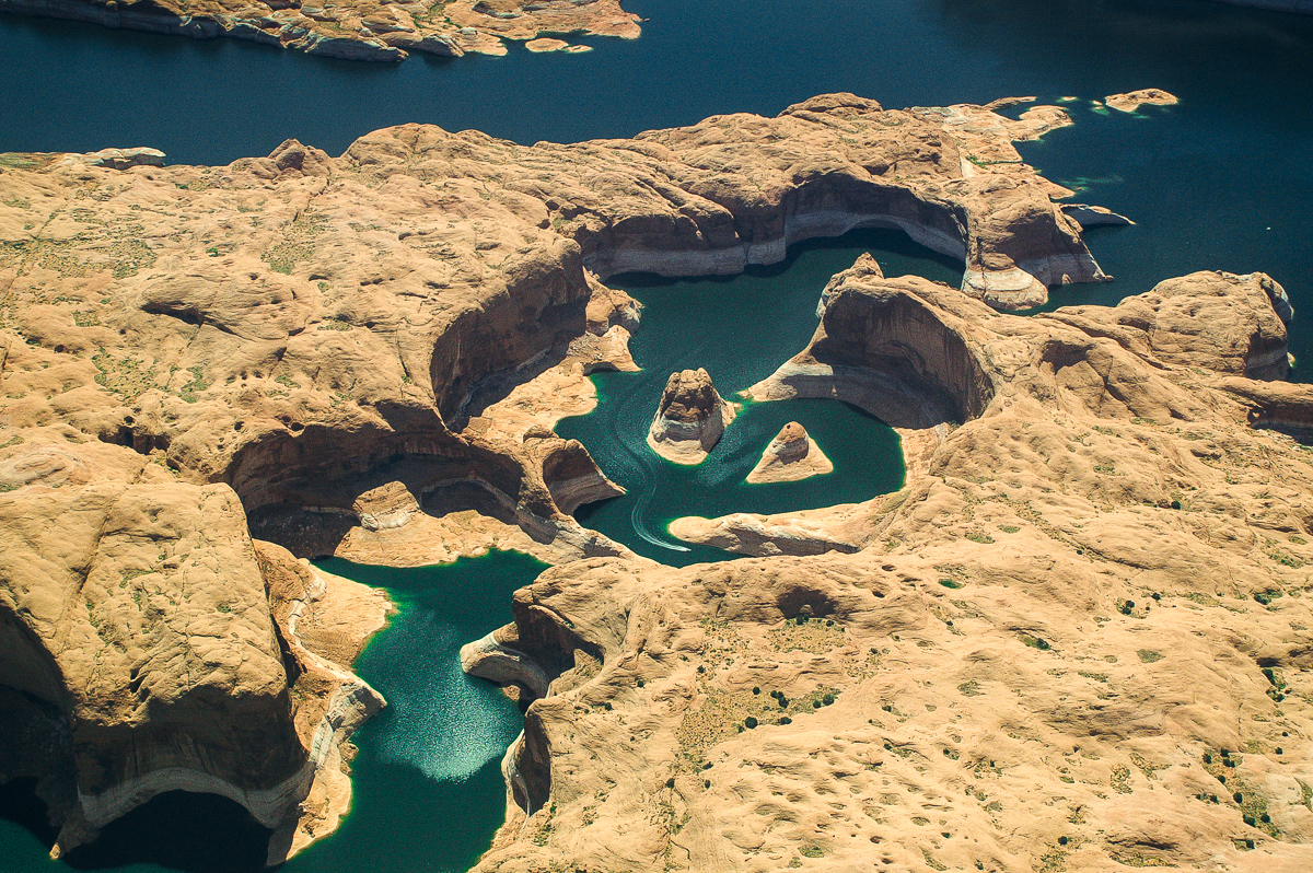
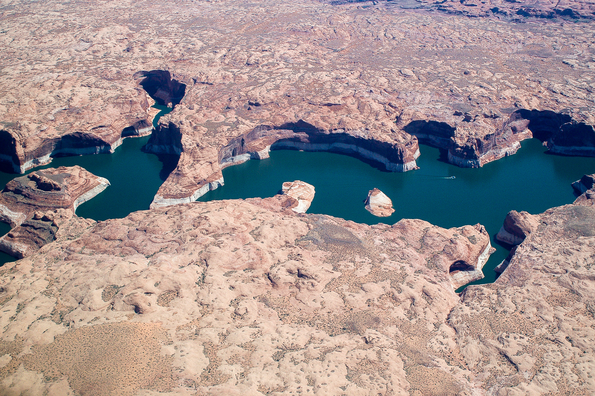
Reflection Canyon
Llewellyn Gulch
Escalante River
Stevens Arch
Stevens Canyon
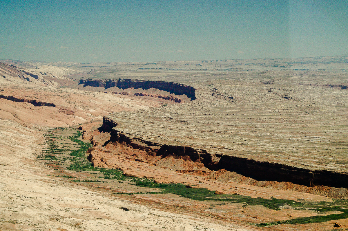
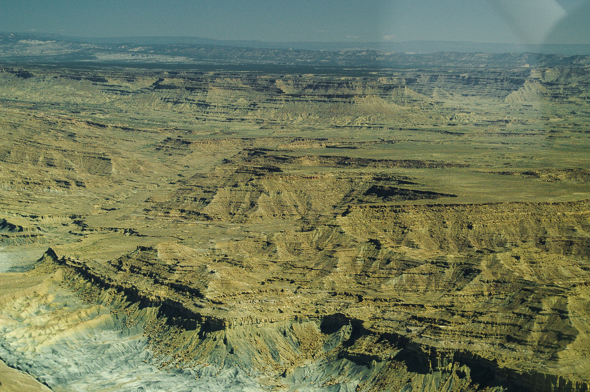
Waterpocket Fold

Cedar Canyon
Hite
Red Benches
The Confluence
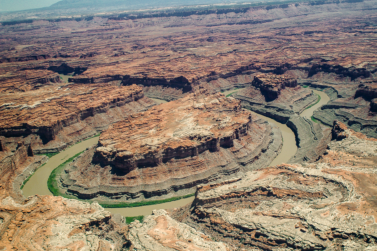
The Loop
Gooseneck
Featured image for home page:

My wife and me planned another flight with Tim Martin from Moab, Canyonlands Airfield down the Colorado River to the Coyote Buttes and back again. Fortunately Tim could do that for us. So we started early in the morning. My Lady had a new digital SRL, I was still holding on my trusted analog SLR. She was sitting on the backseats, my place was next to Tim.
Here are some pictures. Hope you enjoy! More can be found at Fly with The Eagle
The Originals have a size of 1200 x 900 pixels.
Tim Martin and the plane
Island in the Sky - Airport Tower
Lathrop and Buck Canyon - White Rim
The Loop
Colorado River - Green River Confluence
Nearby Hite
Mouth of North Wash
White Canyon
Ticaboo Canyon
Tapestry Wall
Forgotten Canyon
The Rincon
Hole in the Rock
Rainbow Bridge
Teddys Horse Pasture
The old Colorado River Goosenecks
Last Chance Bay
Dominguez and Padre Buttes
Glen Canyon Dam
Partially: Horseshoe Bend
Paria River Canyon
Coyote Butte North
Coyote Butte North
Coyote Butte North
Coyote Butte North
Nipple Bench
Alstrom Point
Gooseneck Point
Rock Creek
Dry Rock Creek
Reflection Canyon
Llewellyn Gulch
Escalante River
Stevens Arch
Stevens Canyon
Waterpocket Fold
Cedar Canyon
Hite
Red Benches
The Confluence
The Loop
Gooseneck
Featured image for home page:
 This makes me realize what we missed! What lens were you using?