- Joined
- Aug 9, 2007
- Messages
- 12,949
June 2007
Arrgh! This trip was brutal! It was supposed to be a short, easy one. We had planned on 5 miles in and out for a total 10 mile round trip. The USGS map shows a road going all the way to the wilderness boundary but the Trails Illustrated map shows it several miles back. I called the Evanston Ranger Office to confirm which was correct. They told me the road went all the way to the wilderness boundary. Yeah... right. Apparently they had the USGS map.
Beyond the map discrepancy adding 5 miles to the trip we also tried some new mosquito repellent. BAD IDEA! The new stuff has something called Picaridin in it instead of Deet. I've heard about the potentially negative effects of Deet and thought it might be a good alternative. Such a bad idea. Deet rules and NOTHING can compare. That Picaridin crap lasted about 20 minutes and then they were all over you again. Okay, enough whining... on to the trip report
Here are the trip details:
So I'm not sure exactly where the trailhead is. I can usually locate this stuff easily off of a Google Map. So in the mean time, you at least see this map that shows you where Bald Lake is and our very approximate route:
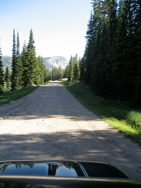
The trip begins on the North Slope Road of The Uintas. This dirt road skirts the north slope for the entire length of the Uinta Range, roughly 100 miles.
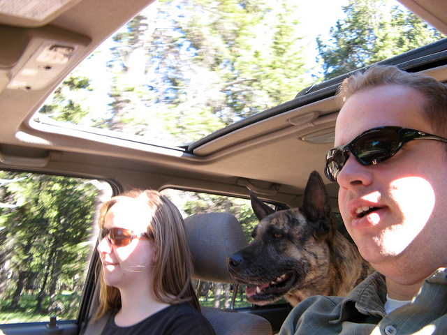
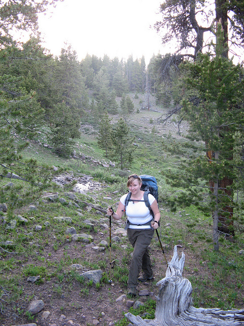
The fam
The north slope road pretty much sucks. Don't plan on traveling very fast on it unless you want to kill someone on a four wheeler. The elevation gain here is notable.
28 miles of dirt road later we make it to the trailhead. We were starting late, almost 7:30pm. The plan was to get a mile or two behind us and setup camp for the night.
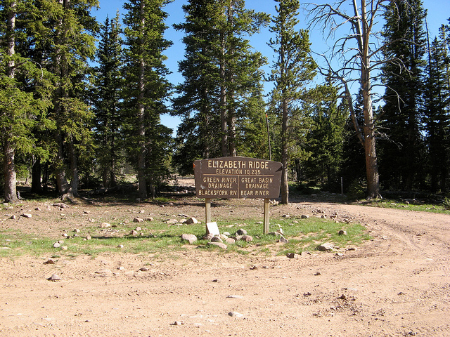
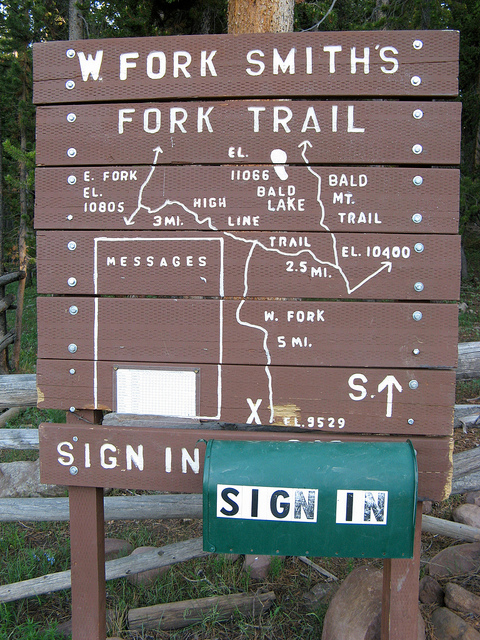
This is a pretty good map of where we are heading. When the trail hits the 'T' we just go straight and make our own trail to Bald Lake.
The sun was almost down by the time we started hiking.
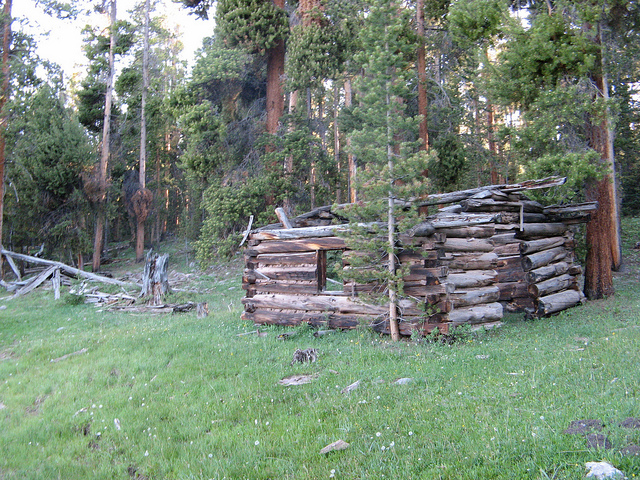
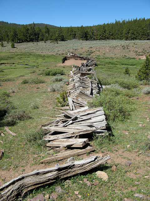
There are a lot of these old tie hacker cabins along Steel Creek. The tie hackers worked to cut railroad ties for the transcontinental railroad. (someone correct me if I'm wrong, just going by memory of what I think someone told me)
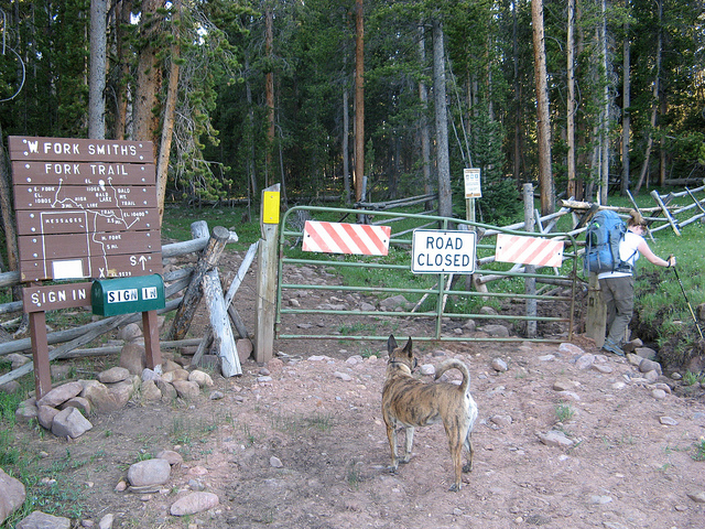
The lack of trail tricked us into some extra hiking. I really wish that woman at the ranger's office had told us about this. This picture was on one of the 100' stretches of visible trail.
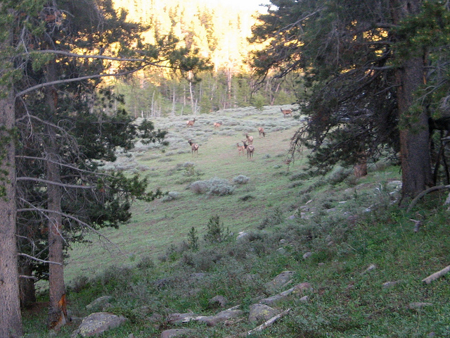
It was non-stop wildlife for the first couple of miles. We found elk around every turn.
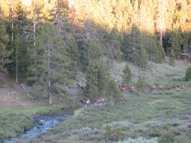
Just before we got to camp we ran into the herd. They saw us and ran up the slope to the left. We could hear them the rest of the night.
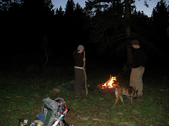
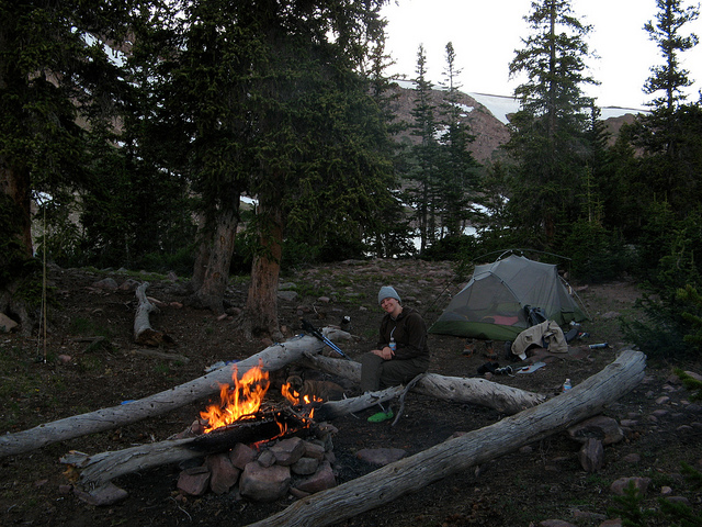
We found a nice camp overlooking Steel Creek in the area where we found the Elk herd.
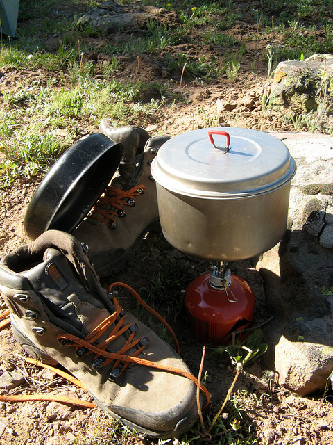
The next morning was windy and I was using my stove that is not good in the wind. A make shift windscreen was inevitable. Oh and by the way, see those boots? NEVER, I repeat NEVER buy Noth Face hiking boots. If the folks at North Face would like to give me more to try though I will reconsider that statement. Until then, dooooon't dooooo it.
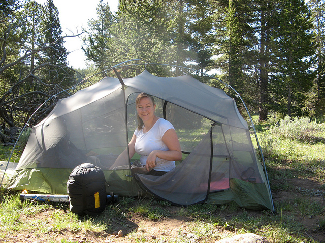
Audra packing up camp
It turned out we were camped only a few minutes from the wilderness boundary. This is where we thought we would be able to park!
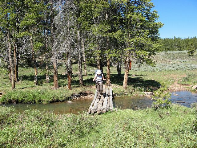
This bridge was the nicest part of the whole trail.
Just beyond the wilderness boundary we ran into more cabin ruins and this. I know it has something to do with the tie hackers but I'm not sure what it would have been.
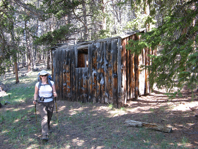
An old cabin. I found the outhouse to it up the slope a about a hundred feet. I opted not to use it.
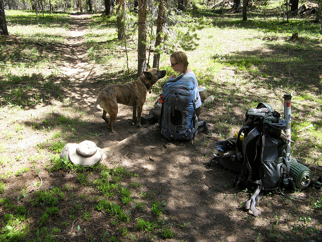
This was the first and only spot we rested on the hike up to the lake. Audra had to duct tape a blister and Nikita had some begging to do.
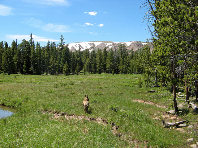
A trail-free section through a meadow. Bald Mountain is in the background. I should clarify that this Bald Mountain is not the same as the Bald Mountain on the Mirror Lake Highway which happens to be highlighted in my previous blog. Bald Lake (our destination) is cradled in the cirque of this Bald Mountain.
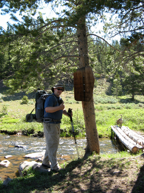
Me
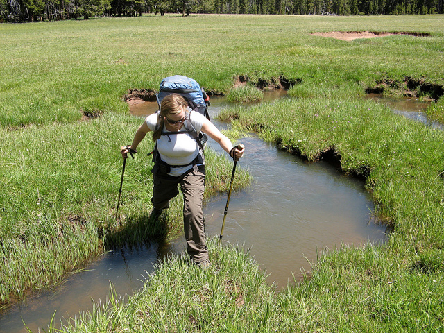
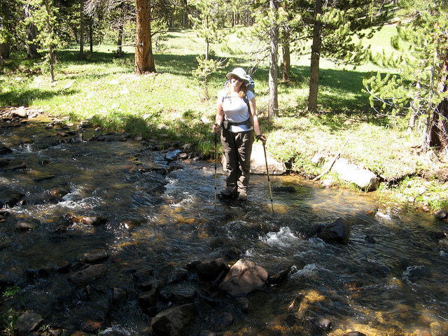
These little channels are actually kind of tricky. They get very deep and the edges tend to cave in on you.
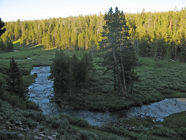
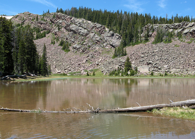
We stumbled onto this lake on the hike to Bald Lake. On the map it was only listed as a marsh area.
Our first sight of Bald Lake. This couldn't have come too soon, the last mile was STEEP!
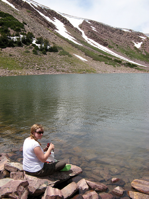
Audra pumping water for her first time. The mosquitos were KILLING us the whole time. Deet where are you!?!?
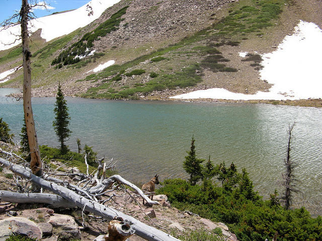
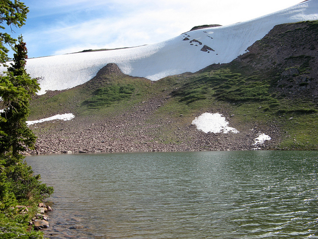
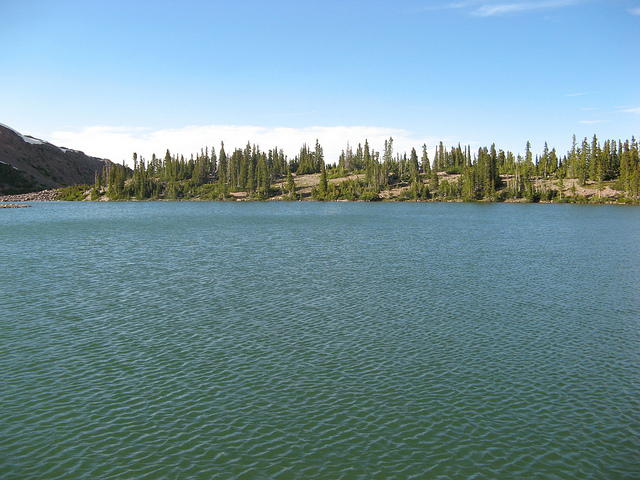
A couple shots of Bald Lake
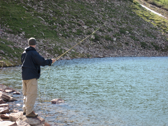
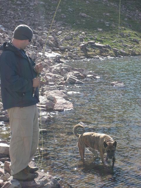
The bugs were driving us insane but I decided to try to fish regardless. I had to layer up like I was freezing just to protect myself from mosquitos. It was otherwise so nice that shorts and a t-shirt would have been ideal.
Success!
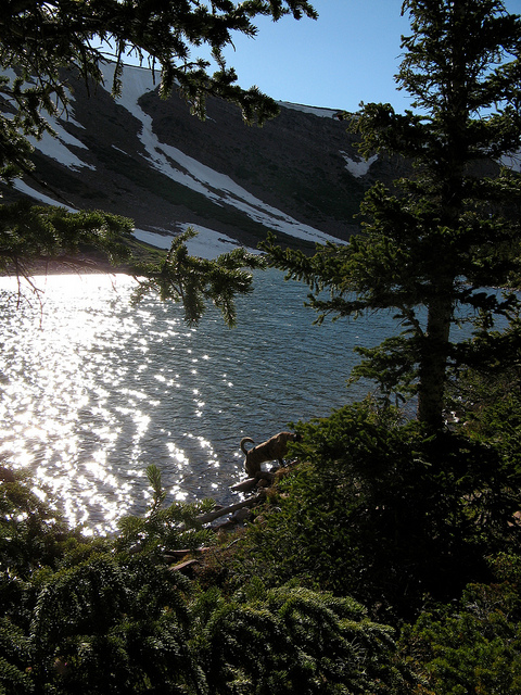
Nikita going for a drink later in the afternoon. We spent a good portion of the day hiding from mesquitos in the tent.
The camp at Bald Lake was very well equipped. It would have been really nice if we had deet. I think I may have mentioned that already.
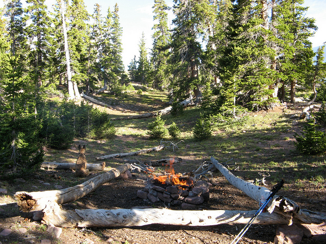
Finally cold enough that the mosquitos went away!
The next day we skipped breakfast and hiked the 7.5 miles out in just under 3 hours. The mosquitos were just too much. On top of that my relatively new boots proved that they are crap. I now have blisters on my toes Overall I would have to rate this hike as Moderate to Difficult, definitely tougher than your average Uintas route. The next trip we'll try and take it easy. Audra's first few backpacking trips are proving to be far more challenging than they should be. But she's one tough cookie. I was a way bigger wuss when I was taking up this 'hobby'.
On the way out we decided to try to find I-80 in Wyoming rather than take the 30 miles of dirt road back to the Mirror Lake Highway. It was an interesting drive down many winding dirt roads that seemed to go to nowhere but we eventually found ourselves in Evanston and then it was just an hour home to Salt Lake.
Arrgh! This trip was brutal! It was supposed to be a short, easy one. We had planned on 5 miles in and out for a total 10 mile round trip. The USGS map shows a road going all the way to the wilderness boundary but the Trails Illustrated map shows it several miles back. I called the Evanston Ranger Office to confirm which was correct. They told me the road went all the way to the wilderness boundary. Yeah... right. Apparently they had the USGS map.
Beyond the map discrepancy adding 5 miles to the trip we also tried some new mosquito repellent. BAD IDEA! The new stuff has something called Picaridin in it instead of Deet. I've heard about the potentially negative effects of Deet and thought it might be a good alternative. Such a bad idea. Deet rules and NOTHING can compare. That Picaridin crap lasted about 20 minutes and then they were all over you again. Okay, enough whining... on to the trip report
Here are the trip details:
- trip date: 6/22 thru 6/24/07
- distance: 15 Miles
- starting point: Smith's Fork Trailhead
- destination: Bald Lake at the foot of Bald Mountain, this is not the popular Bald Mountain near Mirror Lake
- peak elevation: 11,066' at Bald Lake
So I'm not sure exactly where the trailhead is. I can usually locate this stuff easily off of a Google Map. So in the mean time, you at least see this map that shows you where Bald Lake is and our very approximate route:
The trip begins on the North Slope Road of The Uintas. This dirt road skirts the north slope for the entire length of the Uinta Range, roughly 100 miles.
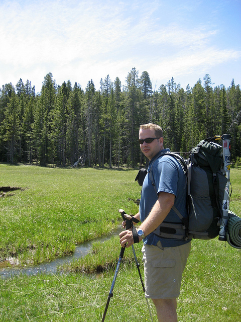
The fam
The north slope road pretty much sucks. Don't plan on traveling very fast on it unless you want to kill someone on a four wheeler. The elevation gain here is notable.
28 miles of dirt road later we make it to the trailhead. We were starting late, almost 7:30pm. The plan was to get a mile or two behind us and setup camp for the night.
This is a pretty good map of where we are heading. When the trail hits the 'T' we just go straight and make our own trail to Bald Lake.
The sun was almost down by the time we started hiking.
There are a lot of these old tie hacker cabins along Steel Creek. The tie hackers worked to cut railroad ties for the transcontinental railroad. (someone correct me if I'm wrong, just going by memory of what I think someone told me)
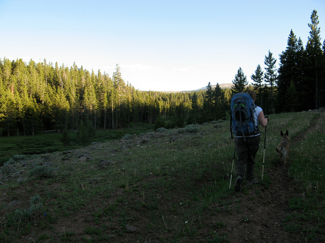
The lack of trail tricked us into some extra hiking. I really wish that woman at the ranger's office had told us about this. This picture was on one of the 100' stretches of visible trail.
It was non-stop wildlife for the first couple of miles. We found elk around every turn.
Just before we got to camp we ran into the herd. They saw us and ran up the slope to the left. We could hear them the rest of the night.
We found a nice camp overlooking Steel Creek in the area where we found the Elk herd.
The next morning was windy and I was using my stove that is not good in the wind. A make shift windscreen was inevitable. Oh and by the way, see those boots? NEVER, I repeat NEVER buy Noth Face hiking boots. If the folks at North Face would like to give me more to try though I will reconsider that statement. Until then, dooooon't dooooo it.
Audra packing up camp
It turned out we were camped only a few minutes from the wilderness boundary. This is where we thought we would be able to park!
This bridge was the nicest part of the whole trail.
Just beyond the wilderness boundary we ran into more cabin ruins and this. I know it has something to do with the tie hackers but I'm not sure what it would have been.
An old cabin. I found the outhouse to it up the slope a about a hundred feet. I opted not to use it.
This was the first and only spot we rested on the hike up to the lake. Audra had to duct tape a blister and Nikita had some begging to do.
A trail-free section through a meadow. Bald Mountain is in the background. I should clarify that this Bald Mountain is not the same as the Bald Mountain on the Mirror Lake Highway which happens to be highlighted in my previous blog. Bald Lake (our destination) is cradled in the cirque of this Bald Mountain.
Me
These little channels are actually kind of tricky. They get very deep and the edges tend to cave in on you.
We stumbled onto this lake on the hike to Bald Lake. On the map it was only listed as a marsh area.
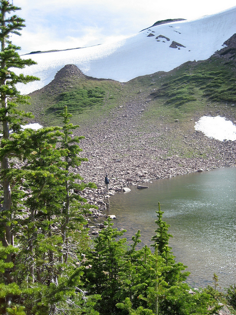
Our first sight of Bald Lake. This couldn't have come too soon, the last mile was STEEP!
Audra pumping water for her first time. The mosquitos were KILLING us the whole time. Deet where are you!?!?
A couple shots of Bald Lake
The bugs were driving us insane but I decided to try to fish regardless. I had to layer up like I was freezing just to protect myself from mosquitos. It was otherwise so nice that shorts and a t-shirt would have been ideal.
Success!
Nikita going for a drink later in the afternoon. We spent a good portion of the day hiding from mesquitos in the tent.
The camp at Bald Lake was very well equipped. It would have been really nice if we had deet. I think I may have mentioned that already.
Finally cold enough that the mosquitos went away!
The next day we skipped breakfast and hiked the 7.5 miles out in just under 3 hours. The mosquitos were just too much. On top of that my relatively new boots proved that they are crap. I now have blisters on my toes
Overall I would have to rate this hike as Moderate to Difficult, definitely tougher than your average Uintas route. The next trip we'll try and take it easy. Audra's first few backpacking trips are proving to be far more challenging than they should be. But she's one tough cookie. I was a way bigger wuss when I was taking up this 'hobby'.
On the way out we decided to try to find I-80 in Wyoming rather than take the 30 miles of dirt road back to the Mirror Lake Highway. It was an interesting drive down many winding dirt roads that seemed to go to nowhere but we eventually found ourselves in Evanston and then it was just an hour home to Salt Lake.