Desertrat
Member
- Joined
- Mar 12, 2012
- Messages
- 72
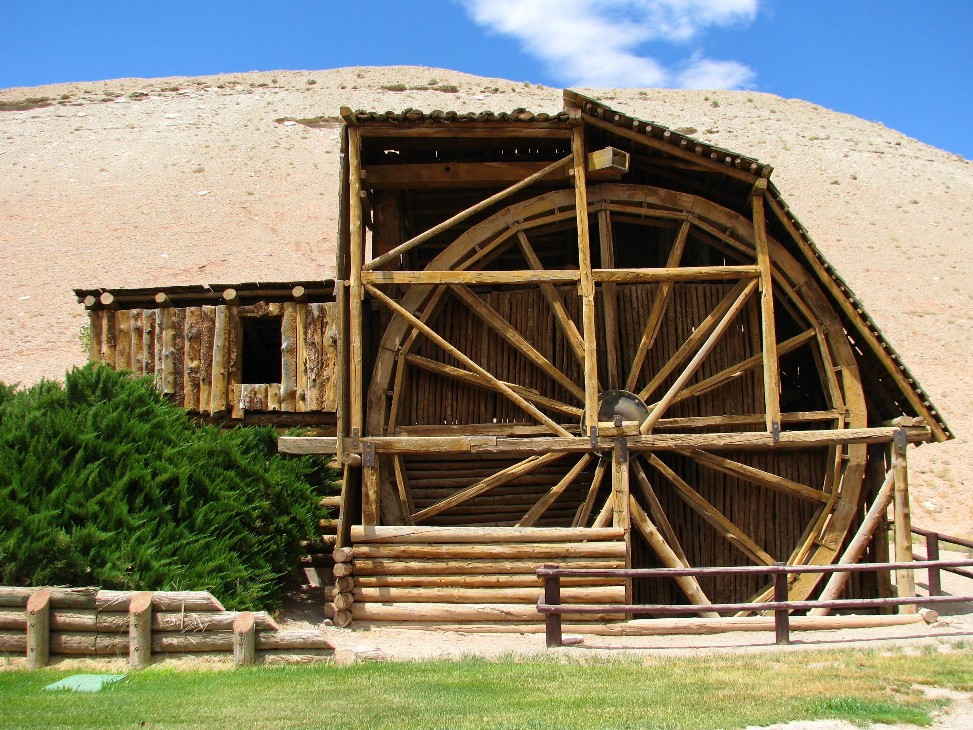
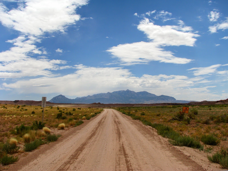
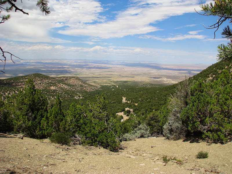
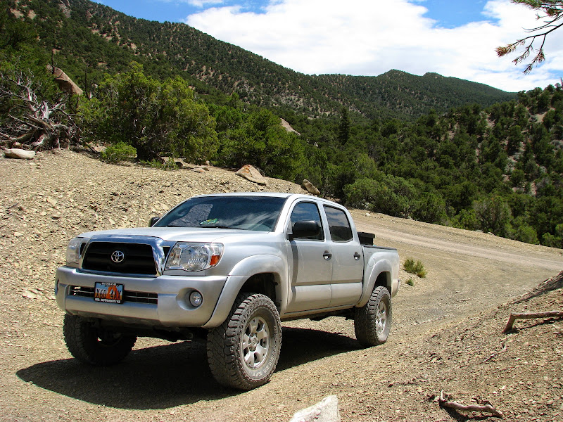
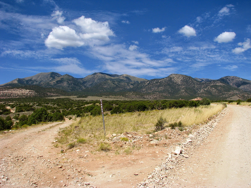
Since I had a long weekend I decided to head up to the Henry Mountains and hike to the highest point and do a little exploring. This time I went up Sawmill Basin Road straight out of Hanksville. I first stopped at the old Wolverton Mill in Hanksville. It was an interesting stop and I think worth checking out. Afterwards I was driving straight for the mountain. It didn't take long before the road started climbing towards the top.
Wolverton Mill
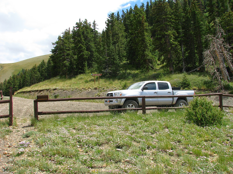
Sawmill Basin Road
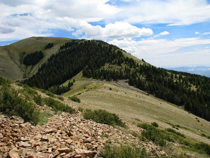
View from quarter way up
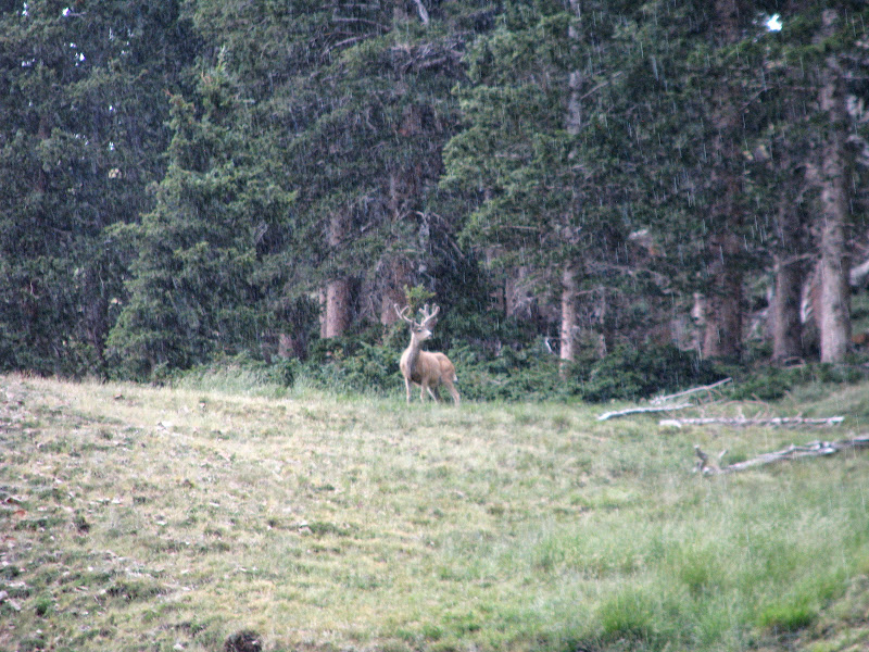
I passed by the Lonesome Beaver campground and decided to skip it due to a few people already camped there and continued looking for another place to set up camp. As soon as we crested up to Wickiup Pass my transmission temp light came on so we pulled off and had lunch while the trans cooled down. Just after lunch it started to rain and we began climbing up to Bull Creek Pass. There were quite a few deer out and some were really nice bucks.
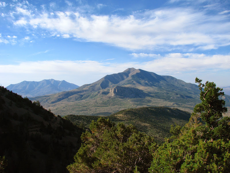
Bull Creek Pass
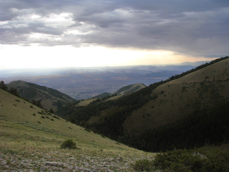
We soon found camp on Nasty Flat, same place last time I was there. I really liked this spot, there was a nice view to the West overlooking Capitol Reef and a view of the mountainside to the East to watch for deer. With camp set up, we drove down towards McMillan Springs looking for deer. The campground here had a couple trailers as well as loud generators running, glad we didn't come here to camp. Then it was back up to relax at camp and get ready for bed.
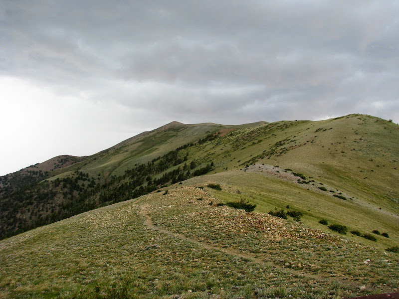
Next morning, we had a good breakfast and then headed out out hike Mt. Ellen. The clouds were threatening rain so we were a little concerned about lightning. Pulling up to Bull Creek Pass there were two guys watching a herd of deer there. We talked a minute then set out on our hike.The trailhead is at 10,485', and the high point the Henry Mountains is at 11,522'. We climbed up to the first little saddle and the wind had picked up and it began to rain. So we hunkered under a pine tree until it stopped raining and continued our hike.
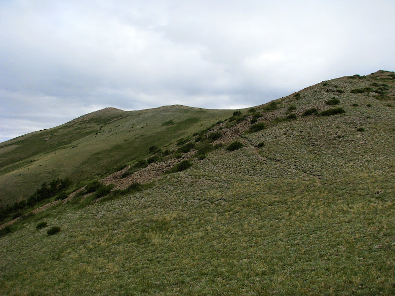
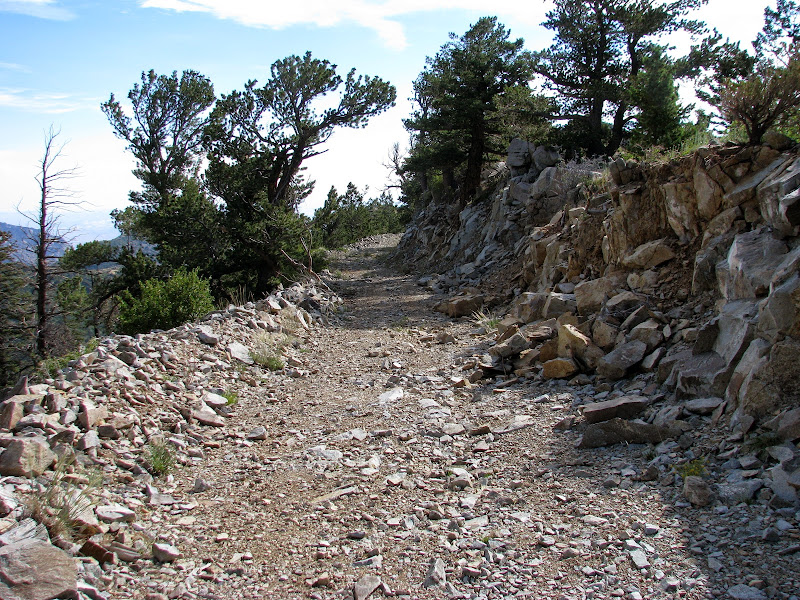
Start of our hike
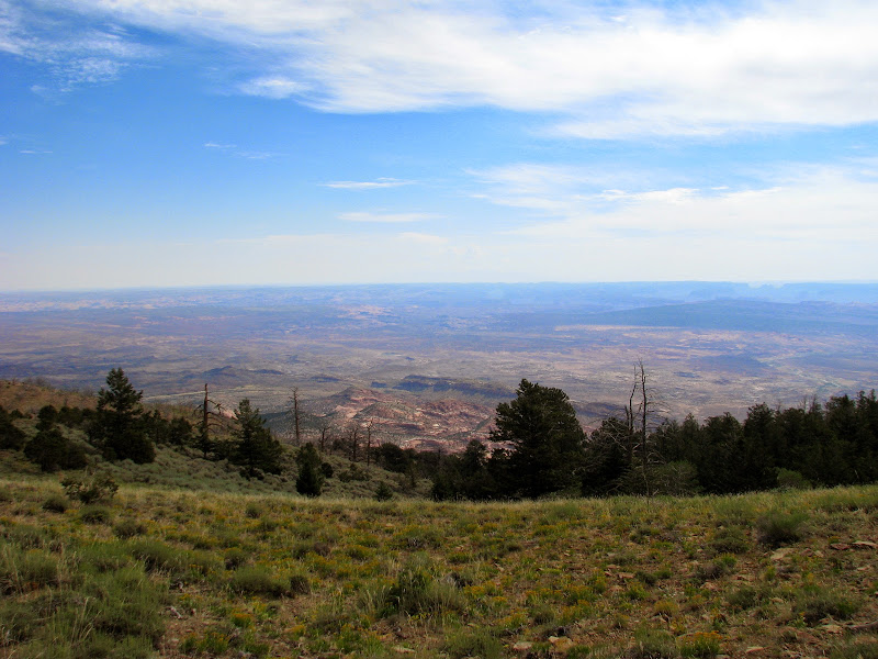
View to the East
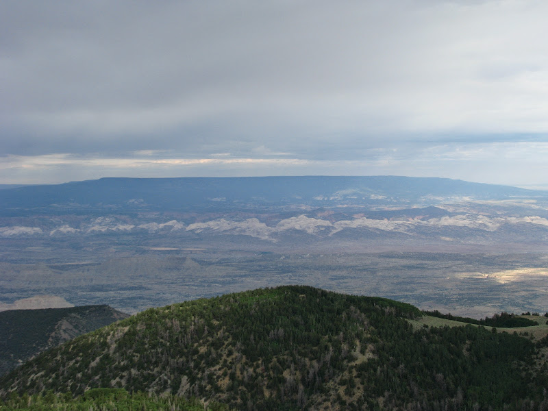
View towards Boulder Mountain
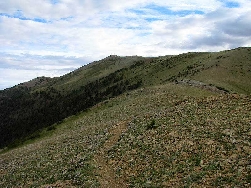
We finally reached the top after about three hours. The climb up to the high point wasn't too bad and after a short lunch, I had enough energy to go ahead and climb Mt. Ellen Peak just under a mile away from the high point.
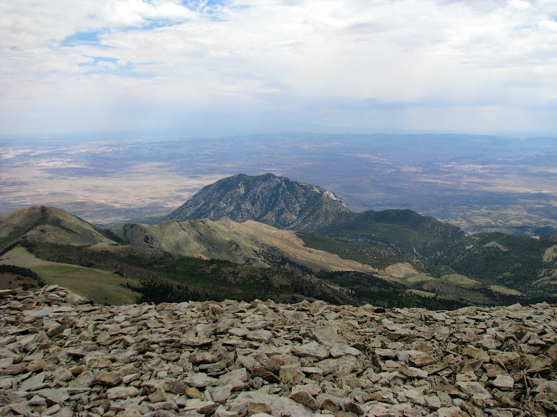
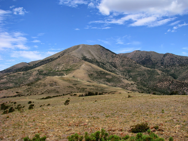
Bull Mountain
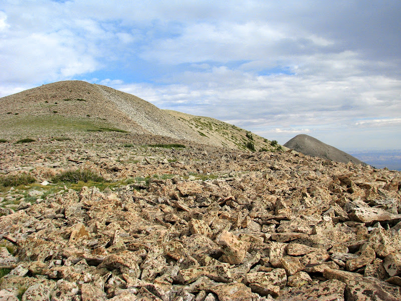
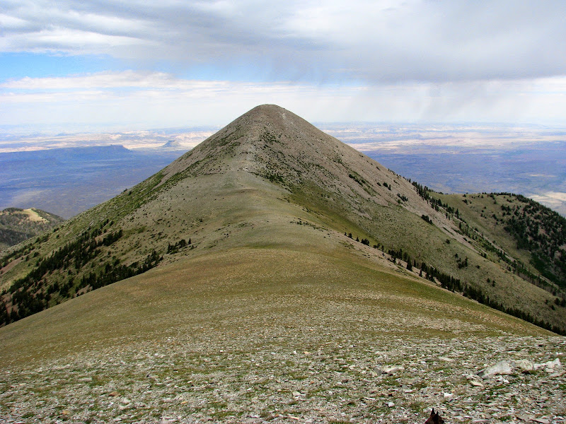
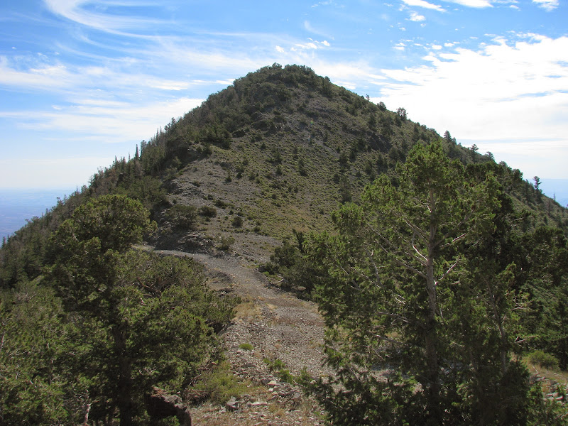
Mt. Ellen Peak looming in the back
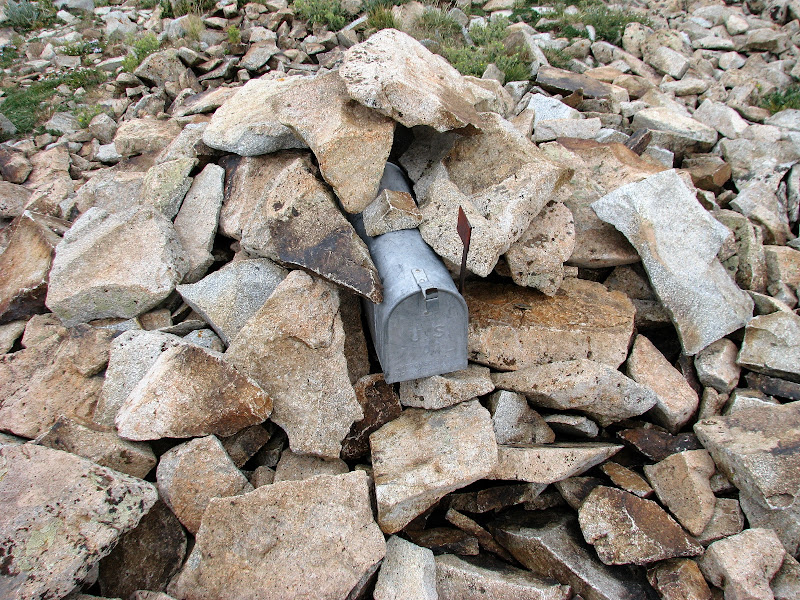
High point at 11,522'
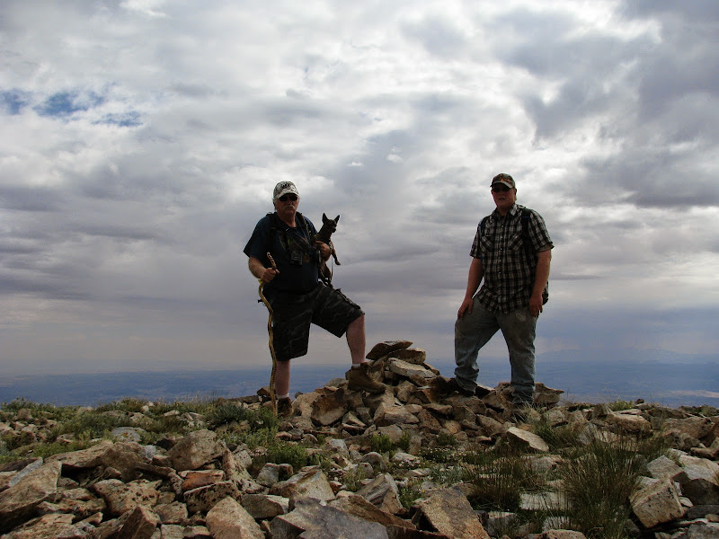
Victory shot
Mt. Ellen Peak
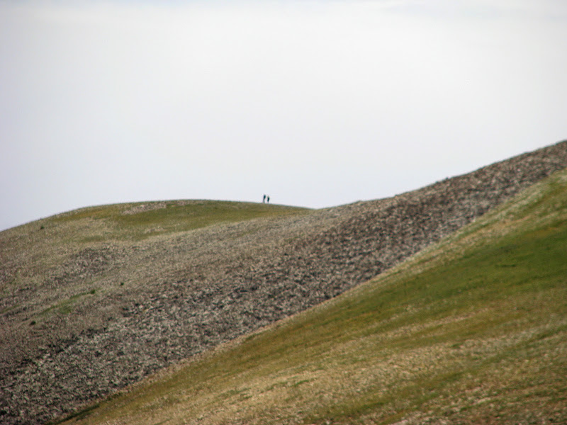
Hiking down the saddle over to Mt. Ellen Peak is a drop of about 400' and then another 400' to the top of the peak at 11,506'. This part of the trail was the steepest section and definitely tired me out. The views up top were worth it though. While on Mt. Ellen Peak, I spotted two other hikers at the high point. They only made it to there and turned around.
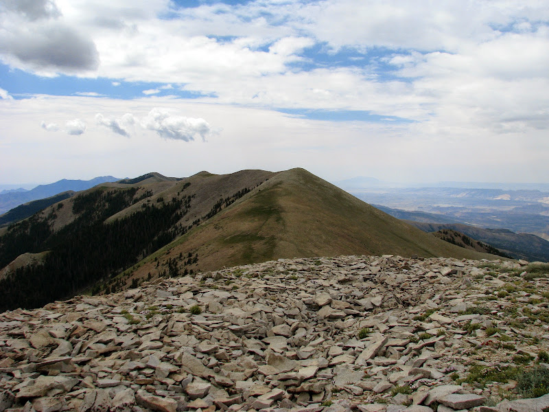
Looking back to the high point
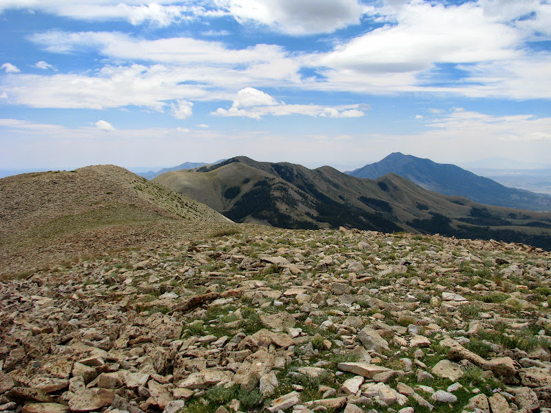
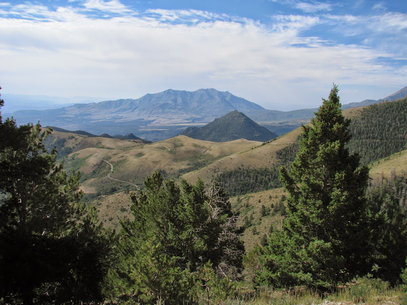
Bull Mountain from Mt. Ellen Peak
Two other hikers on their way back
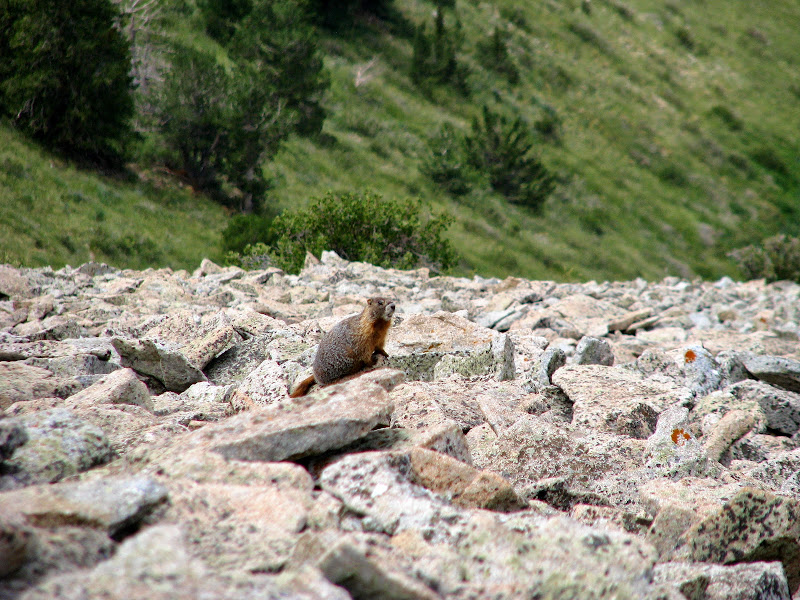
The hike back up to the high point was an uphill battle but after that it wasn't too bad heading down. A marmot came out and said hi and the wind had calmed down. We completed the hike in under seven hours.
Almost back at the trailhead
We stayed another night and the next morning headed out a different way. We drove out along South Creek Ridge Road and then down along Crescent Creek. We made a side trip to Barton Peak and then over to Copper Ridge Point. This road was in better shape than the Sawmill Basin Road. On the way out we passed several people on ATV's. The road out to Barton Peak became more difficult after the mine turnoff so I ended up walking the last bit. Then while on Copper Ridge Point the dog decided to eat a bug sitting in a cactus and came out with a mouthful of needles. We got them all out but he was sore for the rest of the day.
Mt. Pennell
Barton Peak Road
Barton Peak
Mt. Hillers
View from Copper Ridge Point
View back at the mountain from Copper Ridge Point
We drove out along Crescent Creek and stopped at the two cabins along the road. Then it was out to Hanksville for an ice cold soda for the ride home.
I was glad the weather held out and only rained enough to keep the dust down. I hope to get back and do some more exploring around Mt. Pennell.
Photo Gallery
GPS Tracklog (Google Earth .KMZ Format)
Featured image for home page:

Wolverton Mill
Sawmill Basin Road
View from quarter way up
I passed by the Lonesome Beaver campground and decided to skip it due to a few people already camped there and continued looking for another place to set up camp. As soon as we crested up to Wickiup Pass my transmission temp light came on so we pulled off and had lunch while the trans cooled down. Just after lunch it started to rain and we began climbing up to Bull Creek Pass. There were quite a few deer out and some were really nice bucks.
Bull Creek Pass
We soon found camp on Nasty Flat, same place last time I was there. I really liked this spot, there was a nice view to the West overlooking Capitol Reef and a view of the mountainside to the East to watch for deer. With camp set up, we drove down towards McMillan Springs looking for deer. The campground here had a couple trailers as well as loud generators running, glad we didn't come here to camp. Then it was back up to relax at camp and get ready for bed.
Next morning, we had a good breakfast and then headed out out hike Mt. Ellen. The clouds were threatening rain so we were a little concerned about lightning. Pulling up to Bull Creek Pass there were two guys watching a herd of deer there. We talked a minute then set out on our hike.The trailhead is at 10,485', and the high point the Henry Mountains is at 11,522'. We climbed up to the first little saddle and the wind had picked up and it began to rain. So we hunkered under a pine tree until it stopped raining and continued our hike.
Start of our hike
View to the East
View towards Boulder Mountain
We finally reached the top after about three hours. The climb up to the high point wasn't too bad and after a short lunch, I had enough energy to go ahead and climb Mt. Ellen Peak just under a mile away from the high point.
Bull Mountain
Mt. Ellen Peak looming in the back
High point at 11,522'
Victory shot
Mt. Ellen Peak
Hiking down the saddle over to Mt. Ellen Peak is a drop of about 400' and then another 400' to the top of the peak at 11,506'. This part of the trail was the steepest section and definitely tired me out. The views up top were worth it though. While on Mt. Ellen Peak, I spotted two other hikers at the high point. They only made it to there and turned around.
Looking back to the high point
Bull Mountain from Mt. Ellen Peak
Two other hikers on their way back
The hike back up to the high point was an uphill battle but after that it wasn't too bad heading down. A marmot came out and said hi and the wind had calmed down. We completed the hike in under seven hours.
Almost back at the trailhead
We stayed another night and the next morning headed out a different way. We drove out along South Creek Ridge Road and then down along Crescent Creek. We made a side trip to Barton Peak and then over to Copper Ridge Point. This road was in better shape than the Sawmill Basin Road. On the way out we passed several people on ATV's. The road out to Barton Peak became more difficult after the mine turnoff so I ended up walking the last bit. Then while on Copper Ridge Point the dog decided to eat a bug sitting in a cactus and came out with a mouthful of needles. We got them all out but he was sore for the rest of the day.
Mt. Pennell
Barton Peak Road
Barton Peak
Mt. Hillers
View from Copper Ridge Point
View back at the mountain from Copper Ridge Point
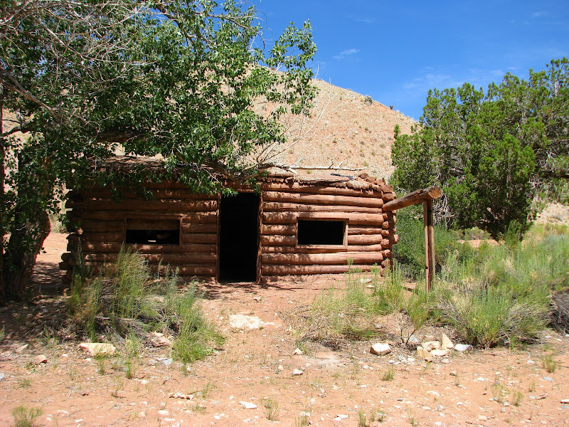
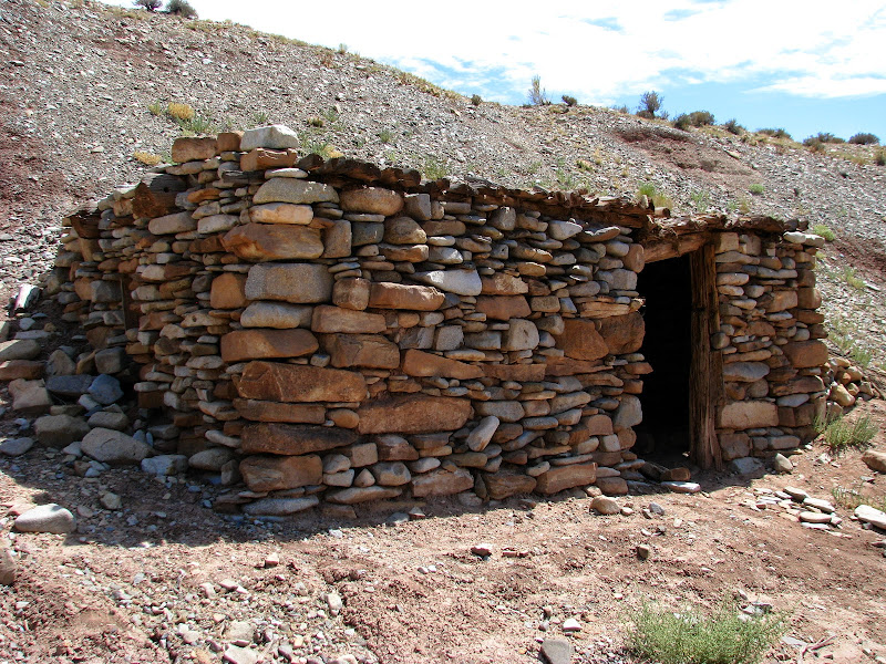
We drove out along Crescent Creek and stopped at the two cabins along the road. Then it was out to Hanksville for an ice cold soda for the ride home.
I was glad the weather held out and only rained enough to keep the dust down. I hope to get back and do some more exploring around Mt. Pennell.
Photo Gallery
GPS Tracklog (Google Earth .KMZ Format)
Featured image for home page:
")